The Northwest Passage - Day 23
Evighed Fjord (Ford of Eternity)
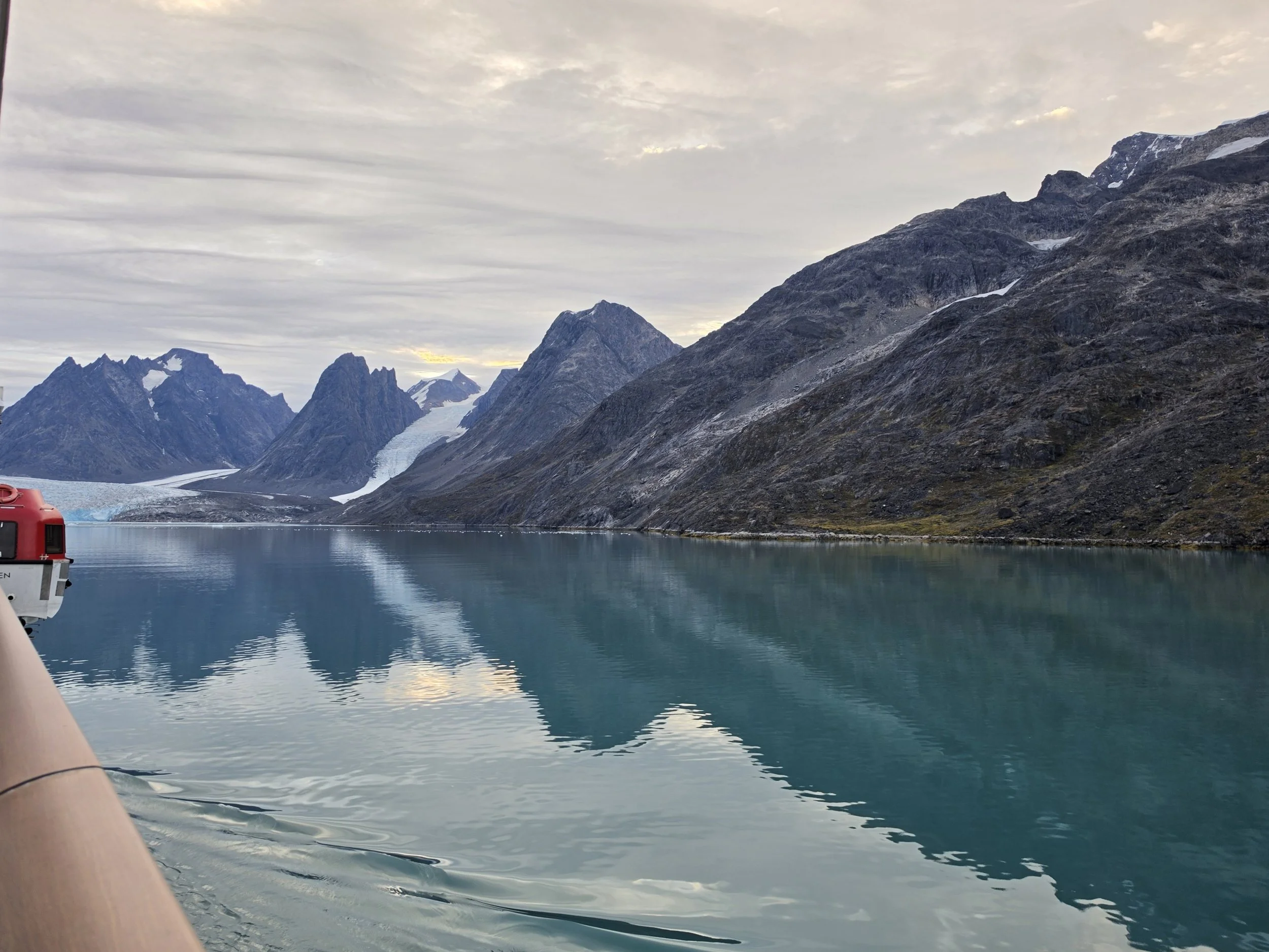
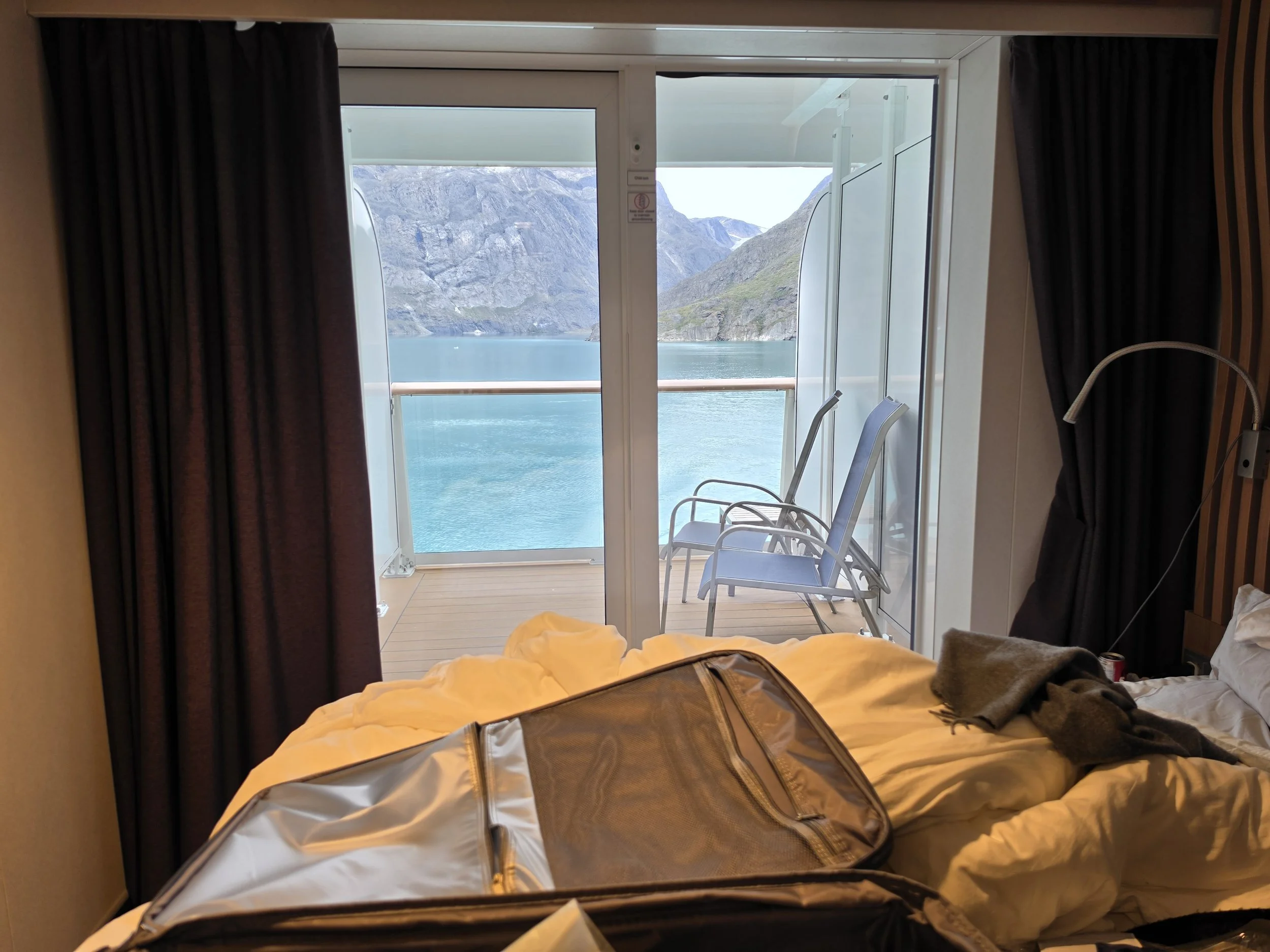
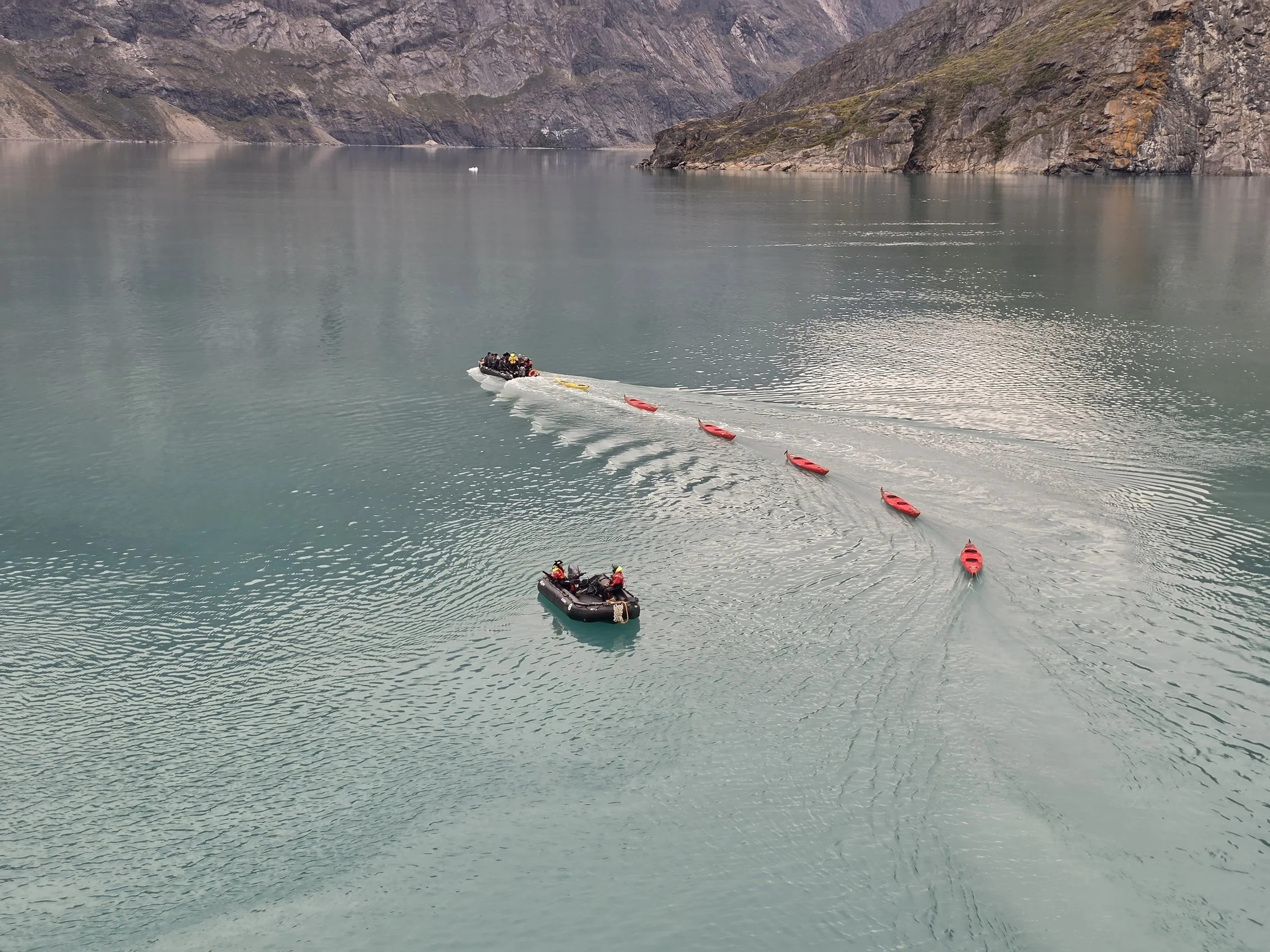
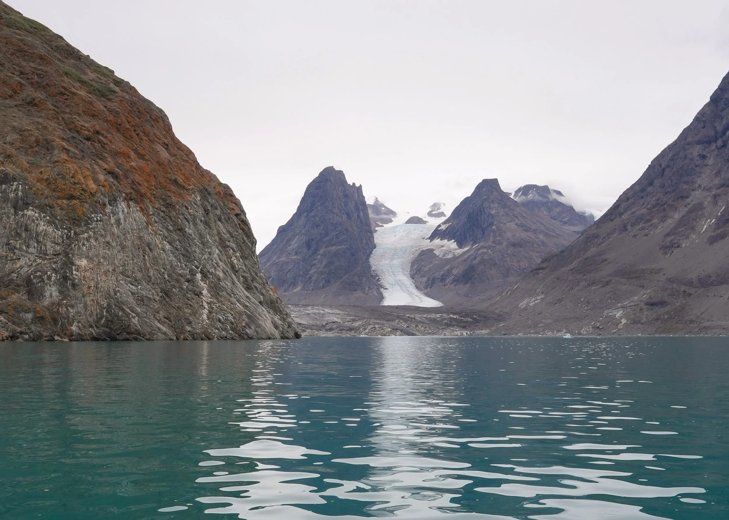
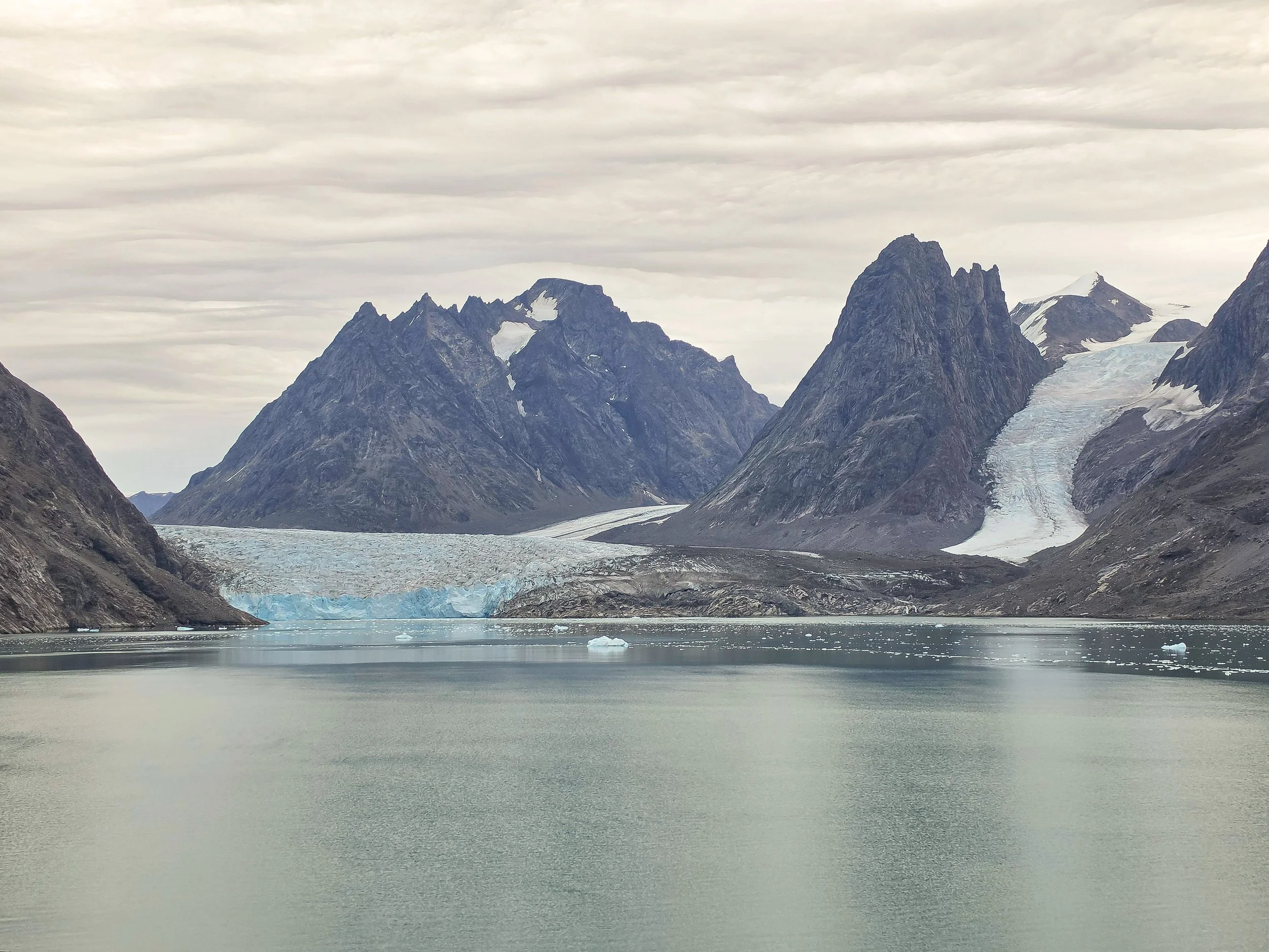
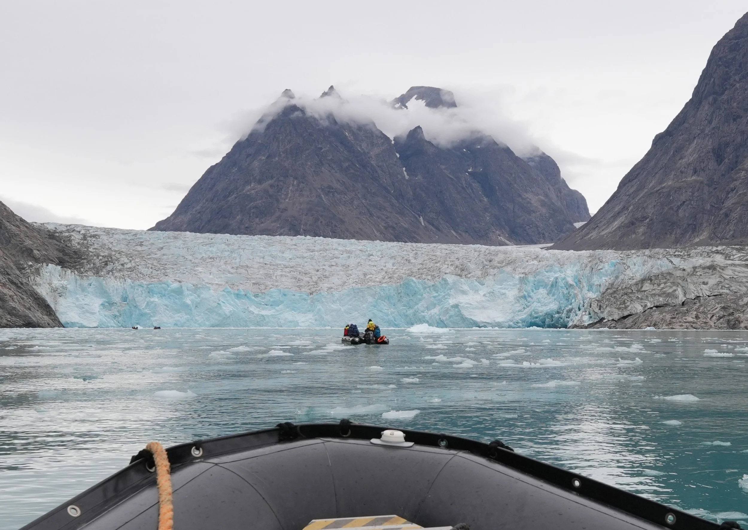
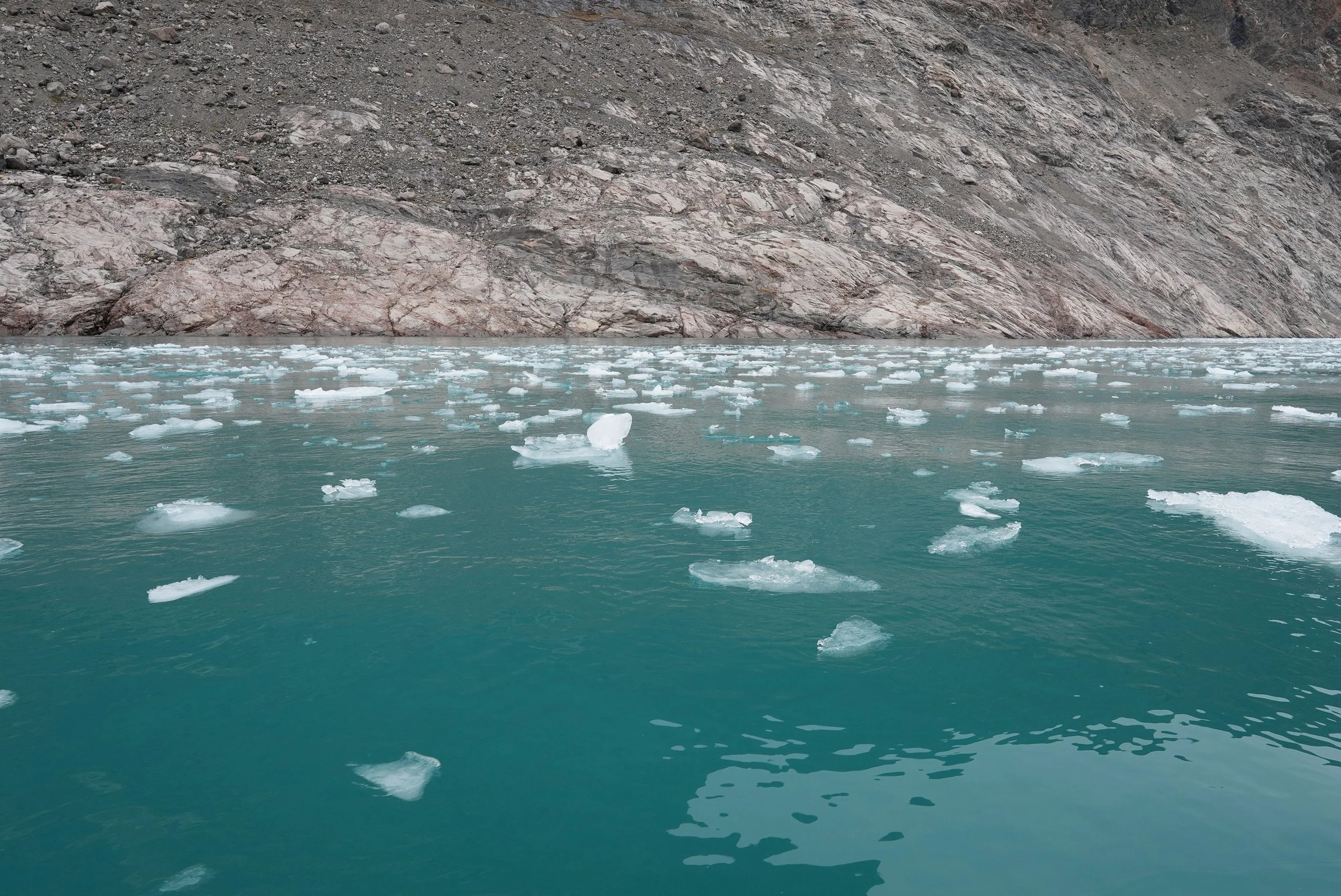
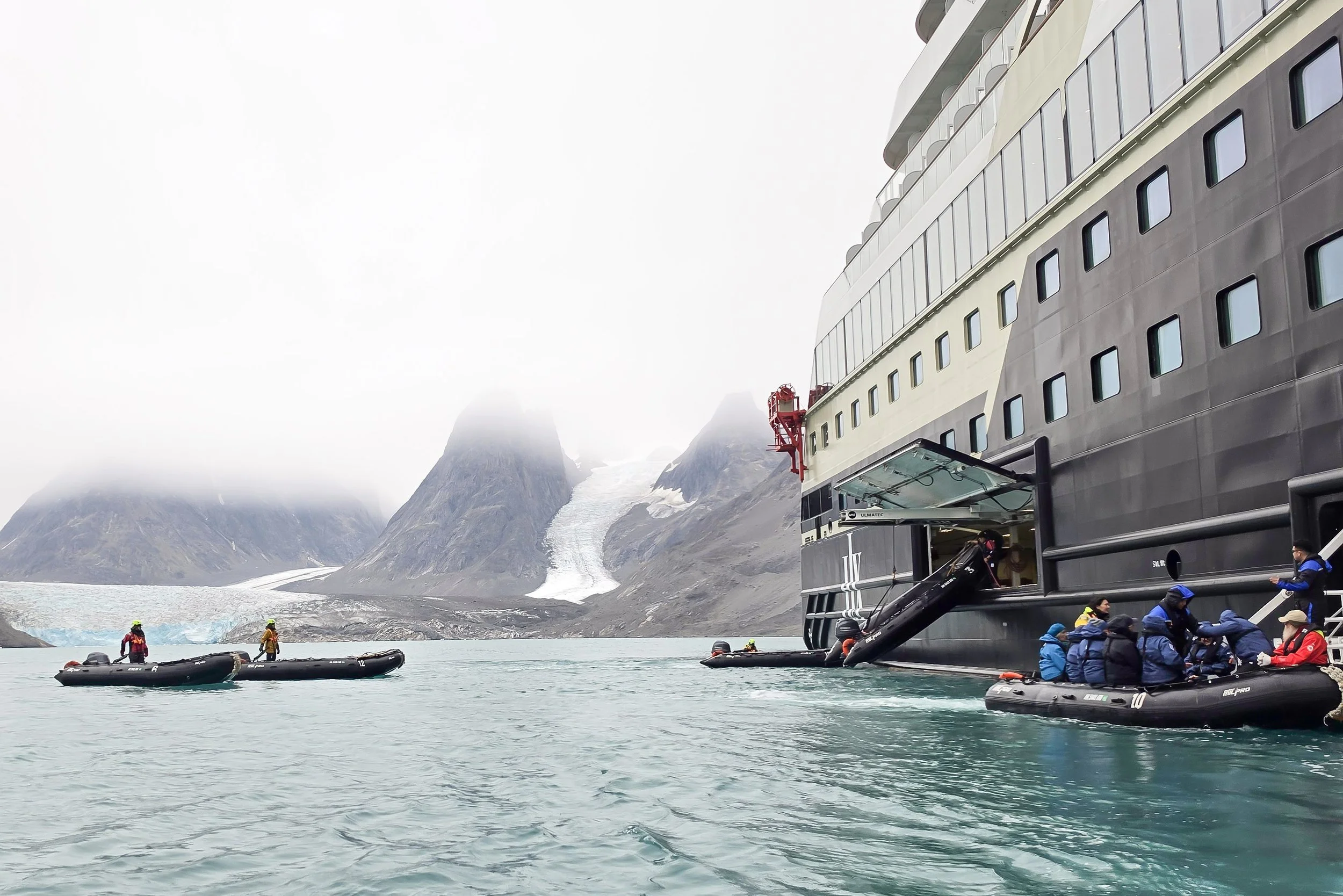
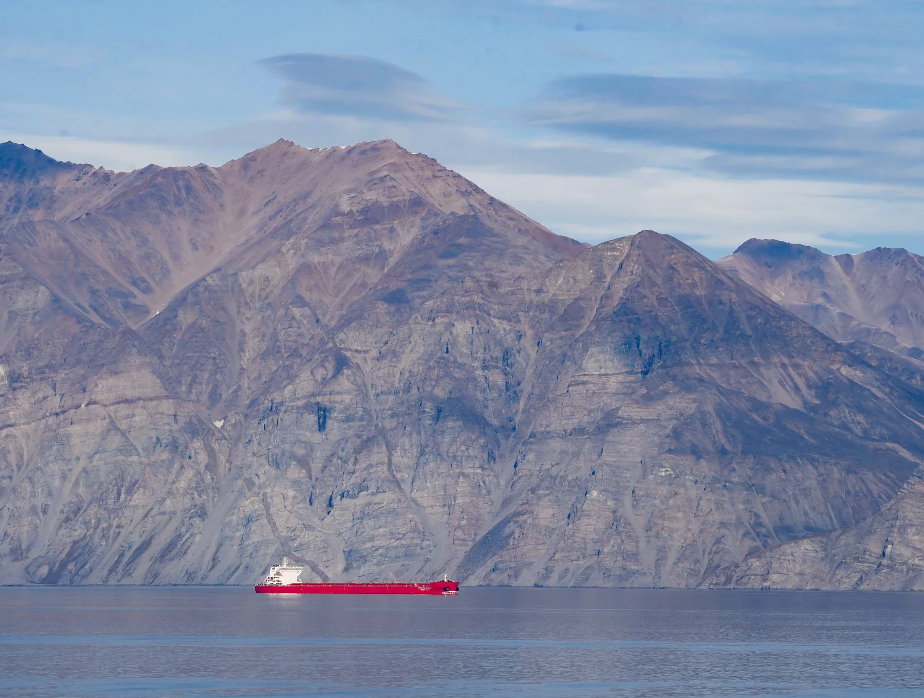
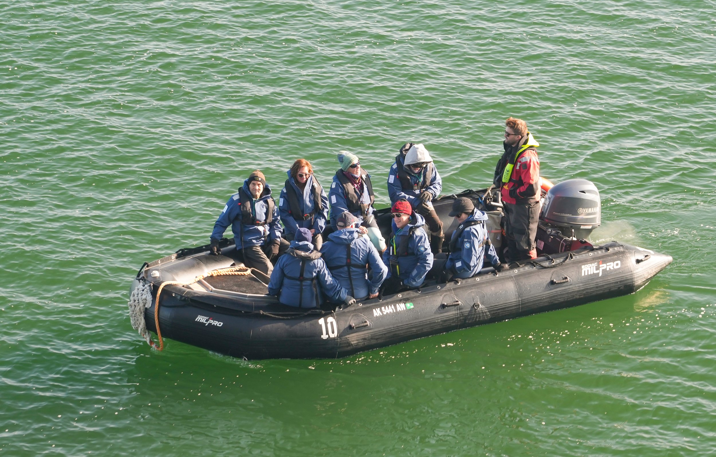
On our last day of the trip, I woke up to the most beautiful turquoise-colored water outside my windows, mountains all around, and glacier after glacier running down the face of the mountains. We were in Evighedsfjord, also know as the “Ford of Eternity.” It was called this because early sailors who explored it kept thinking they had reached the last bend and then they would find another – and another – and another. It was a perfect place to take our last Zodiac trip!
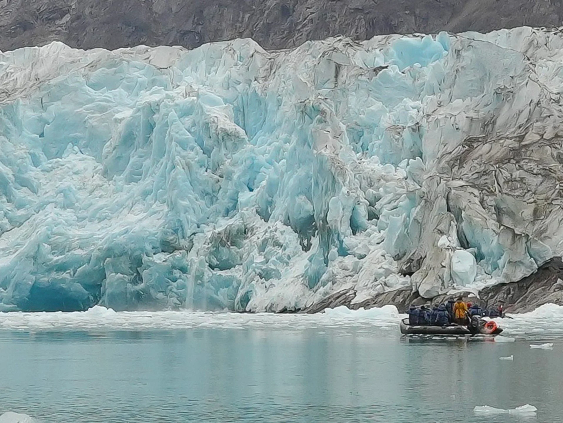
We cruised along the edges of the fjord and got fairly close to a huge glacier that ended in the water. (Most of the glaciers there have receded enough that ice no longer meets water.) We got to witness a small calving – I might have gotten a photo of a smaller icefall after the calving, but I need to find it in the many photos that I took in this stunning location. When the glacier calved, we heard a rumble and then a second, louder rumble. The second one was the echo of the first, amplified by the mountains on both sides of the fjord. It was a majestic sight! I can’t imagine what it would be like to be so close during a large calving event! (It might be safer if I never actually know what it’s like! 😊)
Our Zodiac was the last one back to the ship , and I liked knowing that we were the last passengers to say farewell to our final excursion!
Onboard, we had a guest speaker named Ole Skifte who came by boat from a small community near the fjord (Maniitsoq). He talked about his community’s way of life in a small village in Greenland, where they still follow many traditions from their heritage. It was fascinating listening to him and seeing the photos he shared of his family and their activities. He was a good storyteller, so I captured his words as closely as I could. Here are more of the stories he shared:
They rely largely on fishing for food. He said that there are so many cod that on any day, they can just go into the fjord and catch cod to eat for dinner that night. They don’t have to worry about stocking their freezer too much for summer.
He talked a lot about family and how important it is. He said that family is everything to him, and that you need to take care of each other and rely on each other. He said that even just being away from his family today to come talk with us felt weird.
They have multiple camps to stay in when they go out hunting or fishing or just boating. It’s very easy to live away from home there when needed because you can always catch a fish and build a fire so you have something to eat. For their camps, they have areas where they’ve built a base for a tent (stone walls up a couple of feet and a stone floor) and then the tent on top. You stay in the camps when you go out to favorite fishing or hunting areas.
“If you’re afraid of heights, don’t look down when you’re on a boat on the fjord because the water is so clear you can see very far down.” The water in the fjord is super cold because it comes from the glaciers that run into it. It even hurts a little to drink the water because it’s so cold. In his community, they love getting their water from waterfalls near the glacier because it’s so clean and pure and it tastes much better than the water they have at home. (We heard the same thing in Ilulissat.)
In the hills nearby, there are caribou, foxes, arctic hare, and ptarmigan to hunt. They call game and fish “country food” – this was the same in the Inuit communities in Canada. I guess that distinguishes it from food from the grocery store. They catch fish (cod and char) that they smoke and dry for the winter. They smoke the fish in ovens they build into the ground from rocks and soil (sod that has been dried). Smoking fish this way takes 2 or 3 days. They also cook and smoke beluga whale and narwhal. They catch salmon some but it’s for special celebrations because there’s less time to catch salmon. They also catch Halibut (I keep hearing it pronounced as “haliboo” here. I love that!). If they’re going to boil fish, they boil it in saltwater from the fjord. They eat more fish raw than cooked. They also eat a lot of seal – it’s a really important food source for them.
This summer, it was so warm that they had lots of berries to pick, which they were happy about. However, that also brought more mosquitoes than usual. Ole showed a photo of him wearing a mosquito net head covering. He said “there’s nothing wrong with the picture. All those spots are mosquitoes on the net!”
They spend all the time they can in nature in the summer when it’s light all day. They also do outdoor activities in the winter when they can. He showed pictures of their kids snowshoeing at dusk. He said “they’re supposed to be in bed already but sometimes you just have to go out.” 😊 He grew up at his grandmother’s house and when he was a boy, he always wanted to stay outside and not come home when it was time for bed. One night, his grandmother called out “If you don’t come home, the northern lights are going to get you!” It scared him so much that he went running home.
Climate change is changing everything. It’s warmer and there’s less snow and ice. They have fewer humpback whales now, fewer seals. But they do still get about 50 humpback whales near their town. Ole said that they have to be careful going in and out of the harbor because the whales don’t care whether you’re in a big or small boat. He showed a picture of a humpback whale breaching and said “Humpback whales can jump up and fly through the air. Don’t be near them when they do this.” 😊
I love the 3 places we stopped in Greenland! It makes me want to come back and spend more time here at some point.
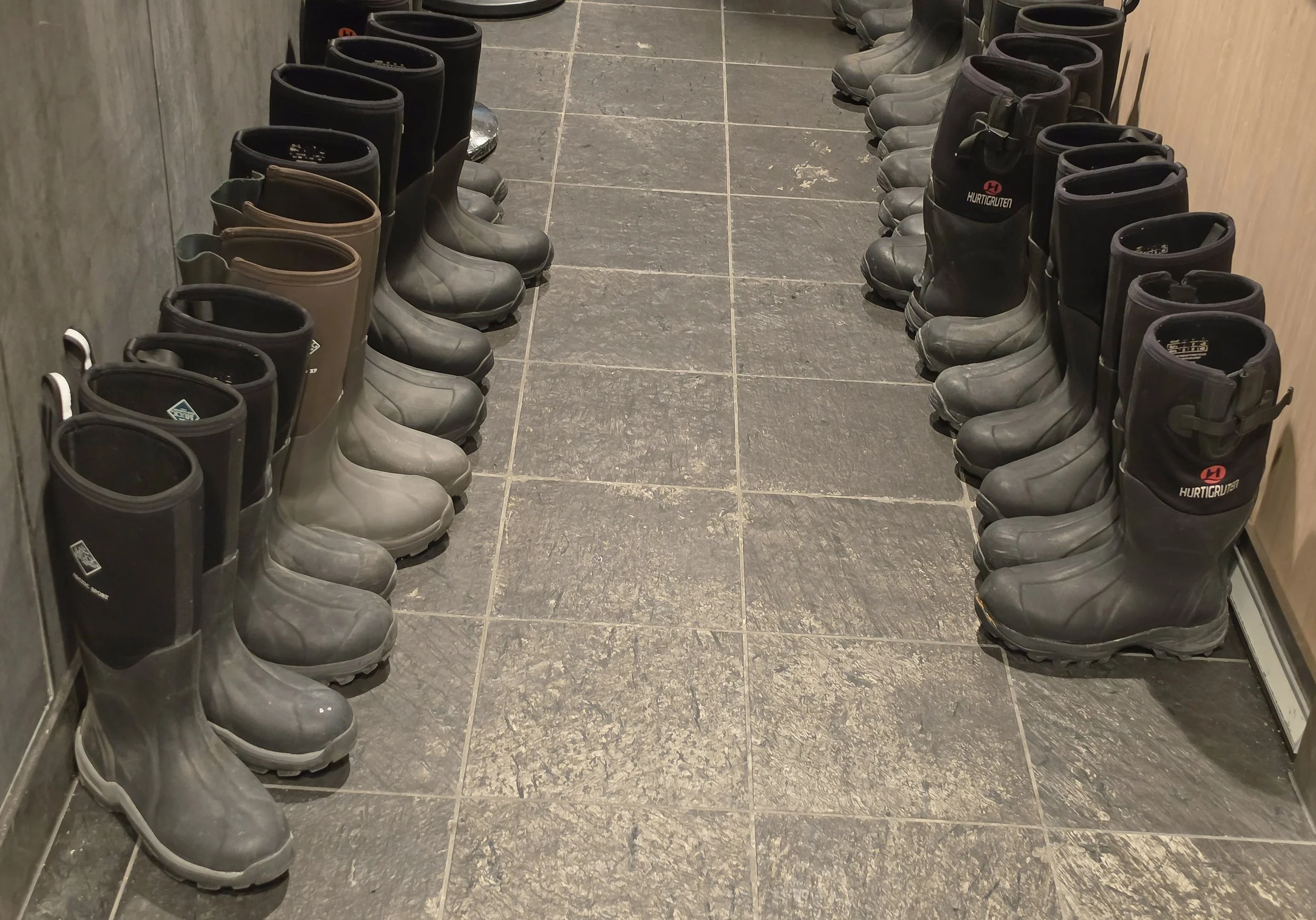
Tomorrow morning, we’ll arrive in Nuuk at about 6 AM and we have to leave the ship at 7. My suitcase is in the hall, waiting to be collected for transfer to the airport. And we had to turn our muckboots in today! So I know the adventure is officially over – but what amazing experiences and memories to carry with me!
Thank you so much for following along on my adventure through my blog!


The Northwest Passage - Day 22
Sisimiut, Greenland
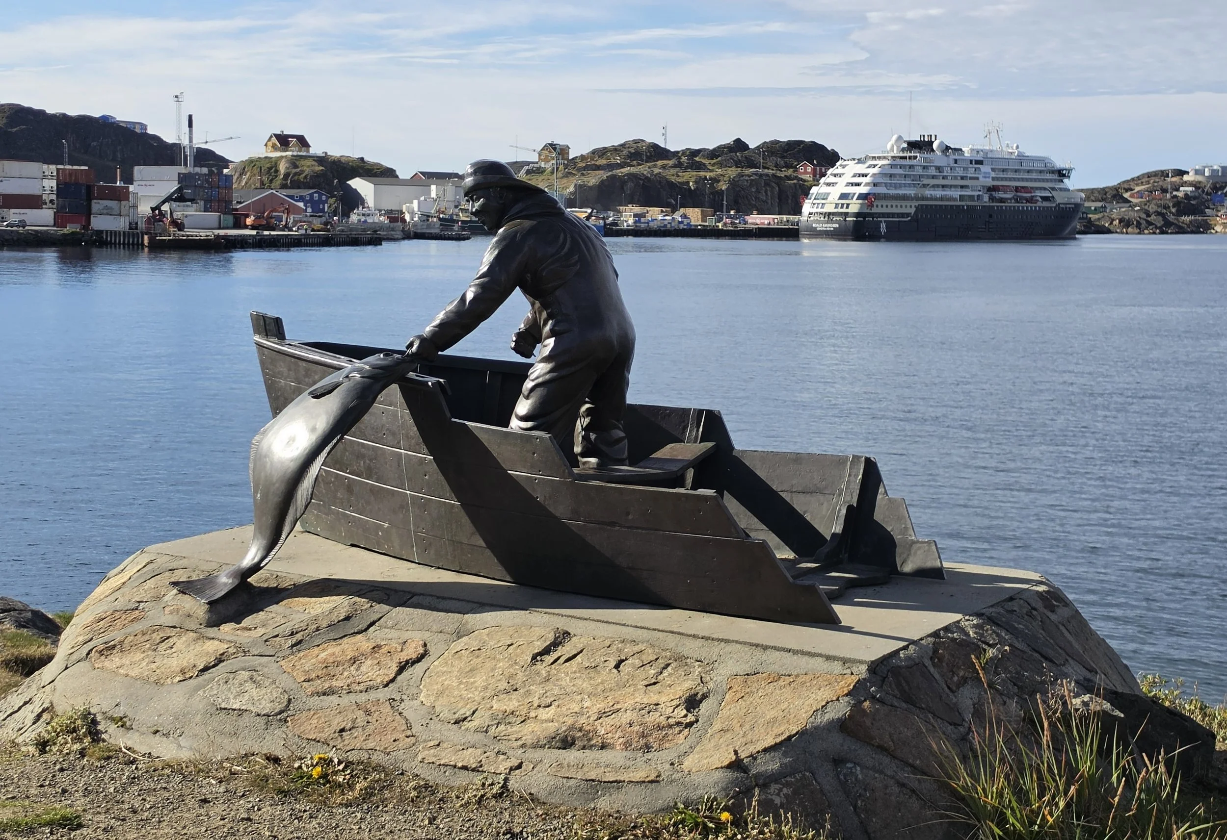
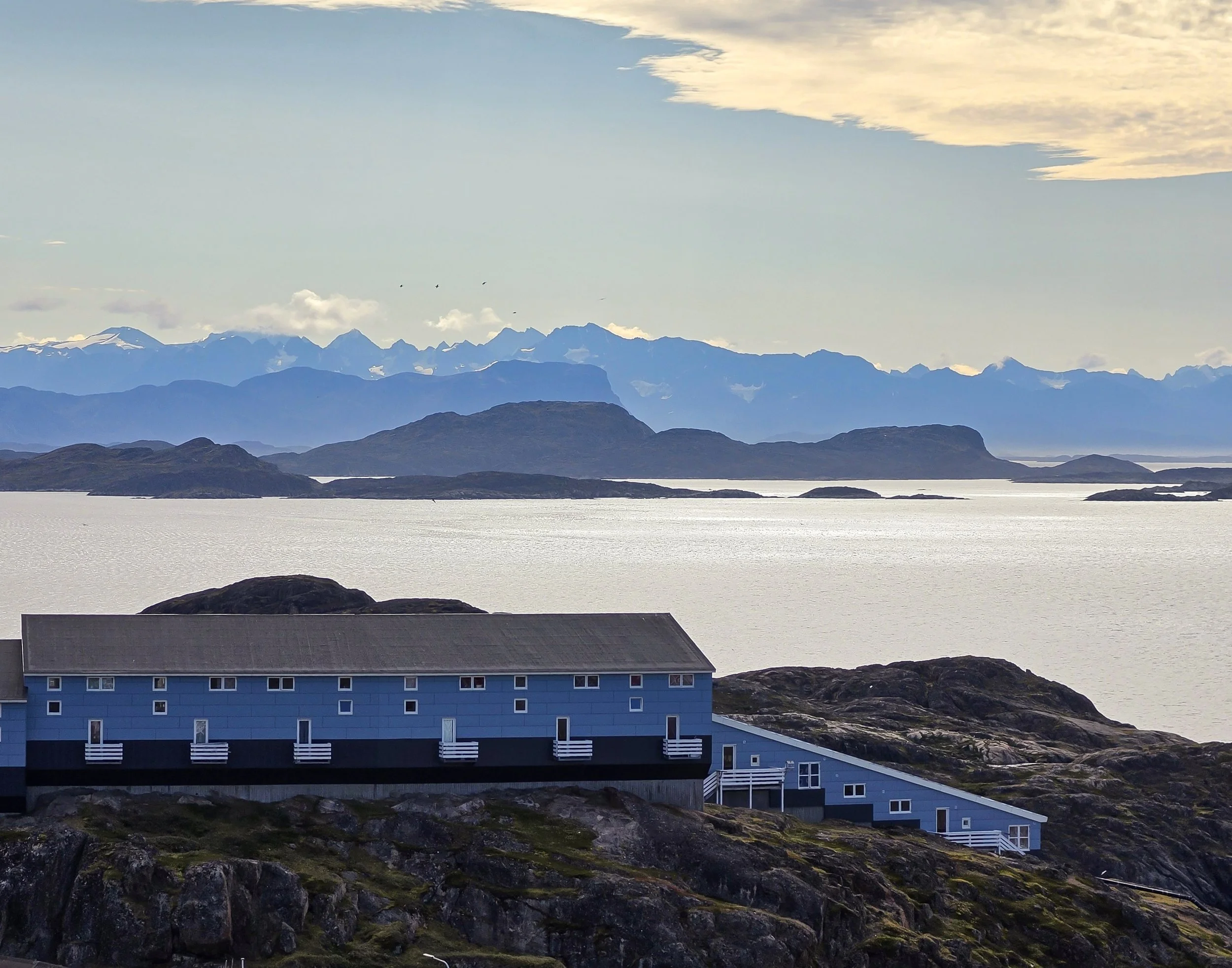
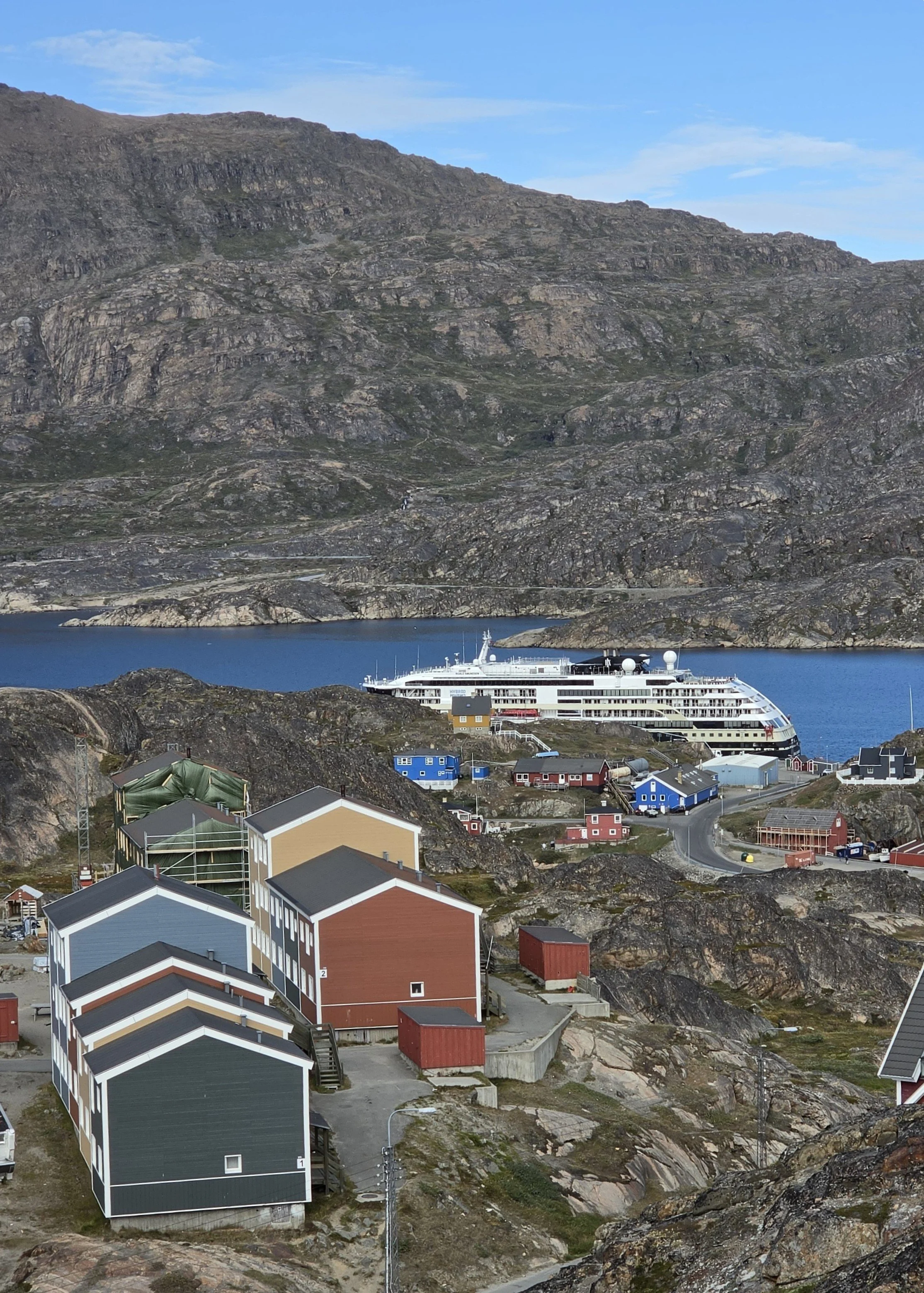
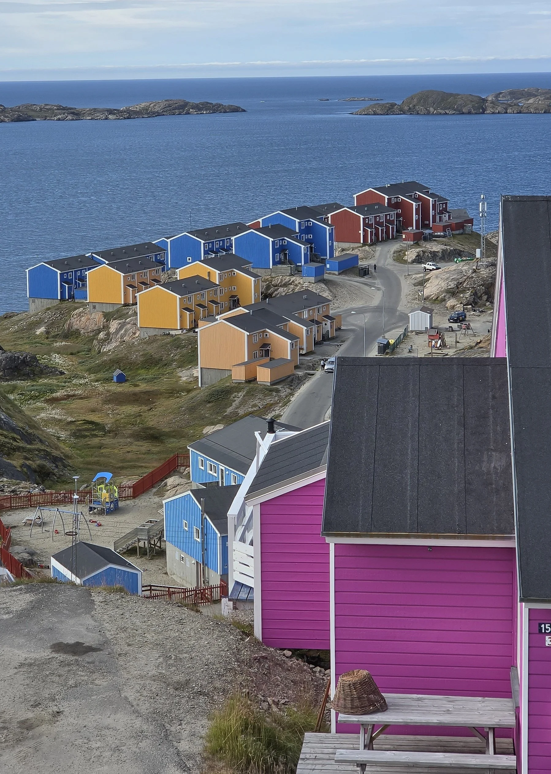
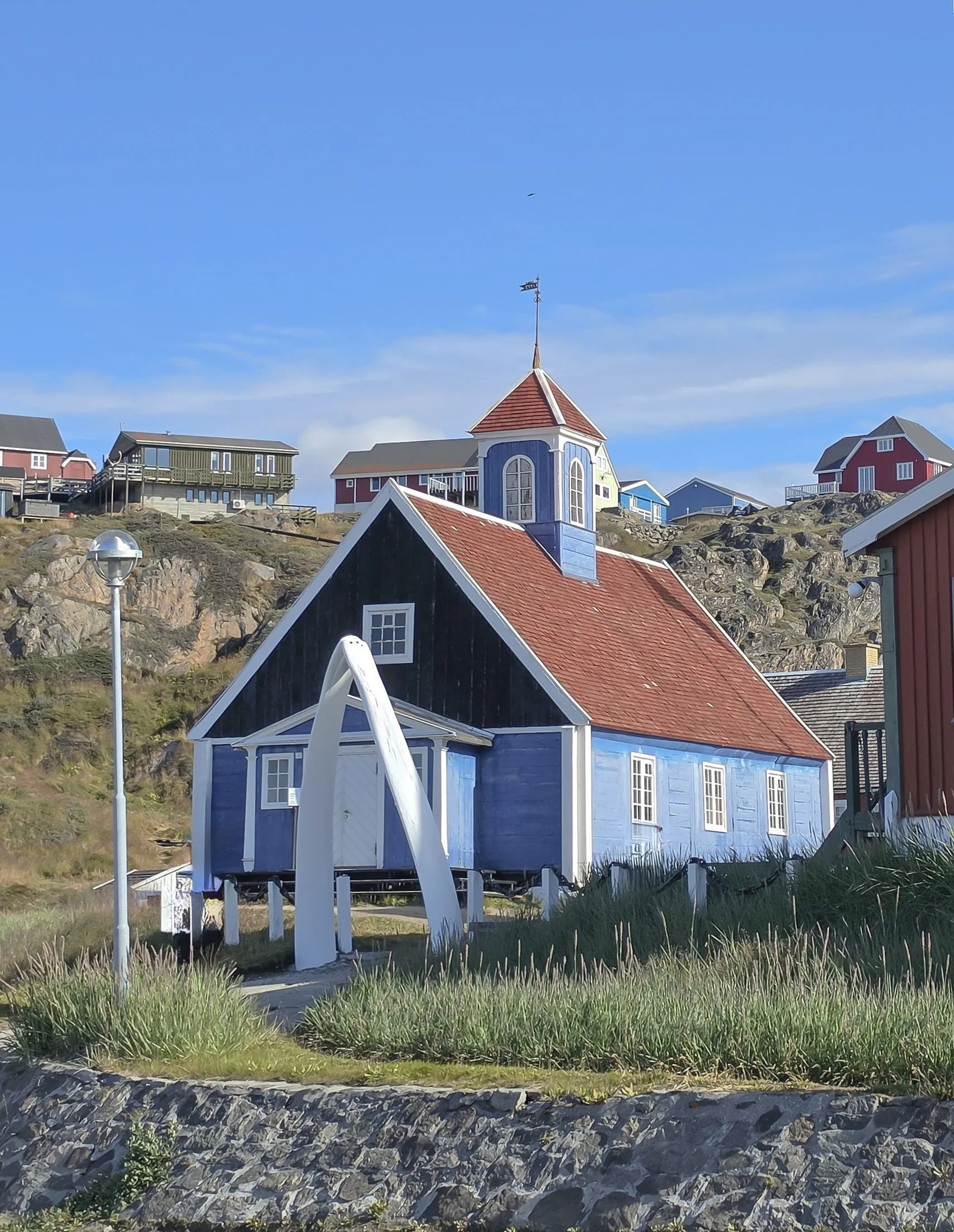
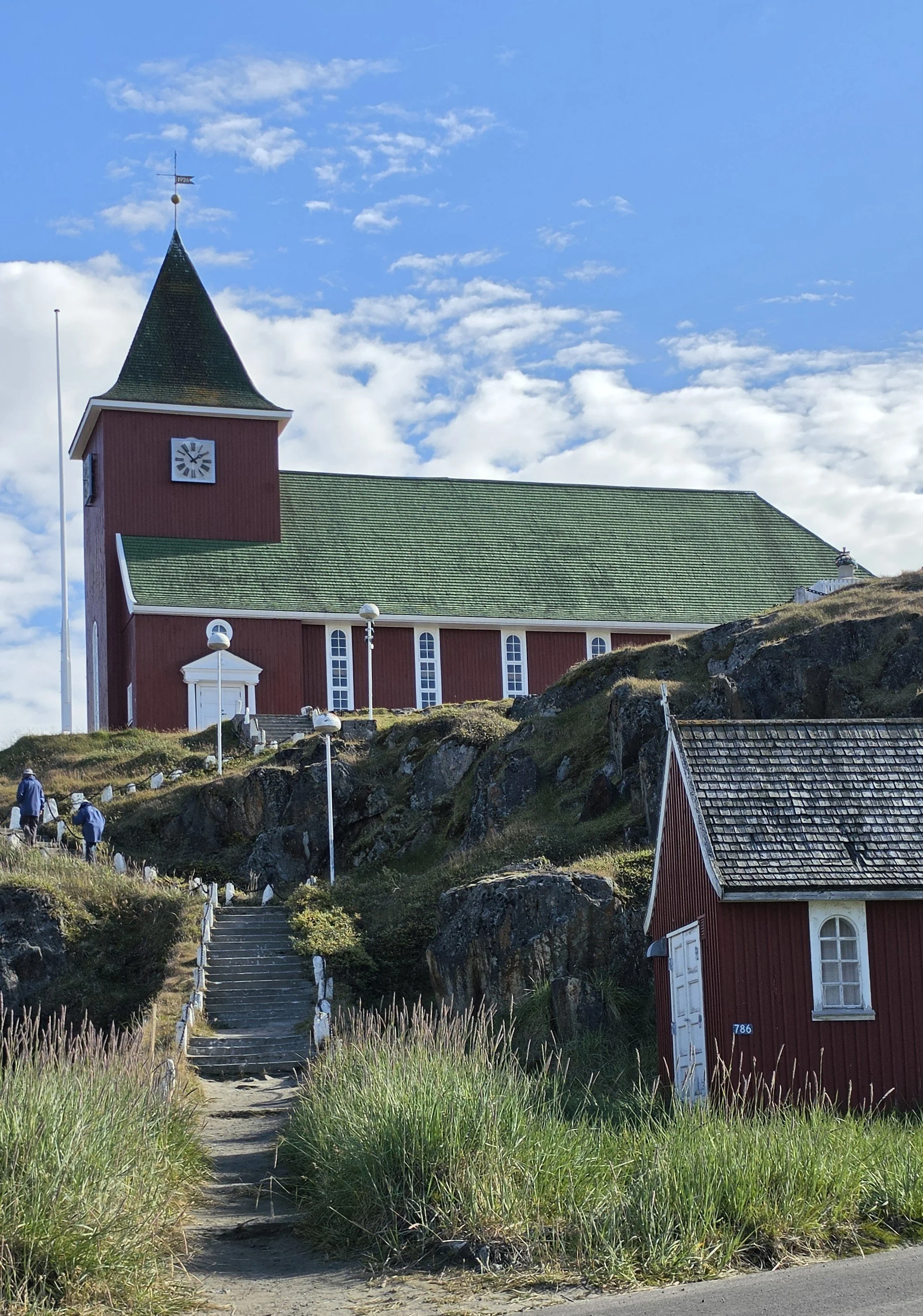
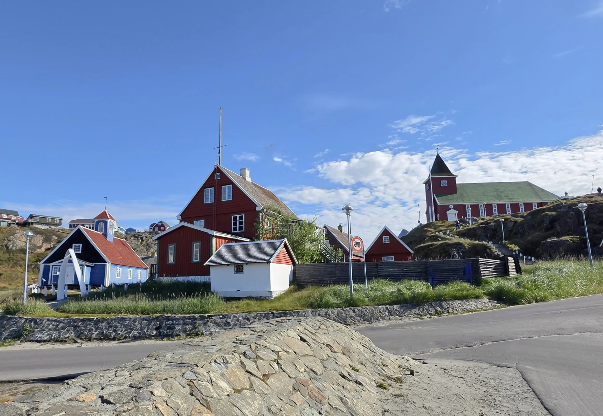
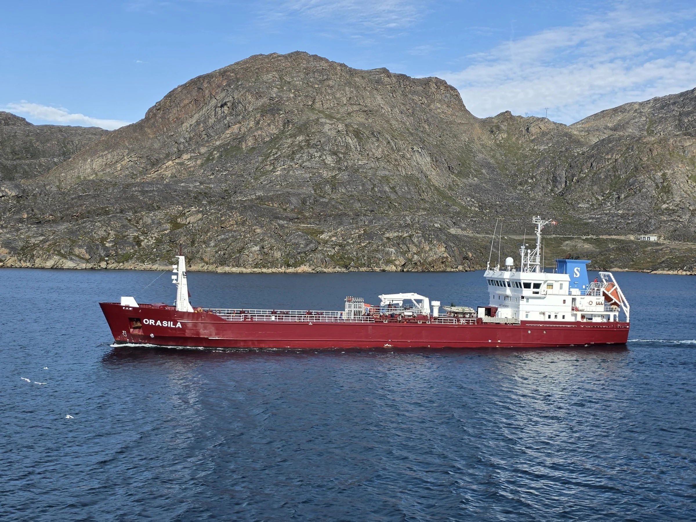
We arrived in Sisimiut at noon today. It’s a beautiful, sunny day, and warm at 50 degrees Fahrenheit! Sisimiut has a large ship’s pier so the ship was able to dock, and we got to just walk off the ship onto the pier! That was a nice treat! It made it easy to come and go throughout the day!
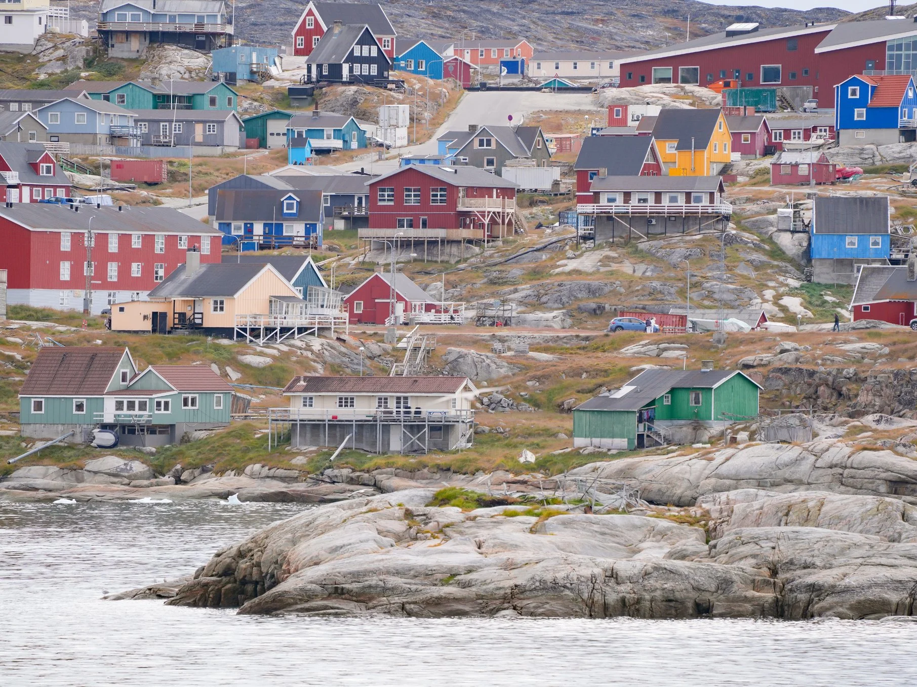
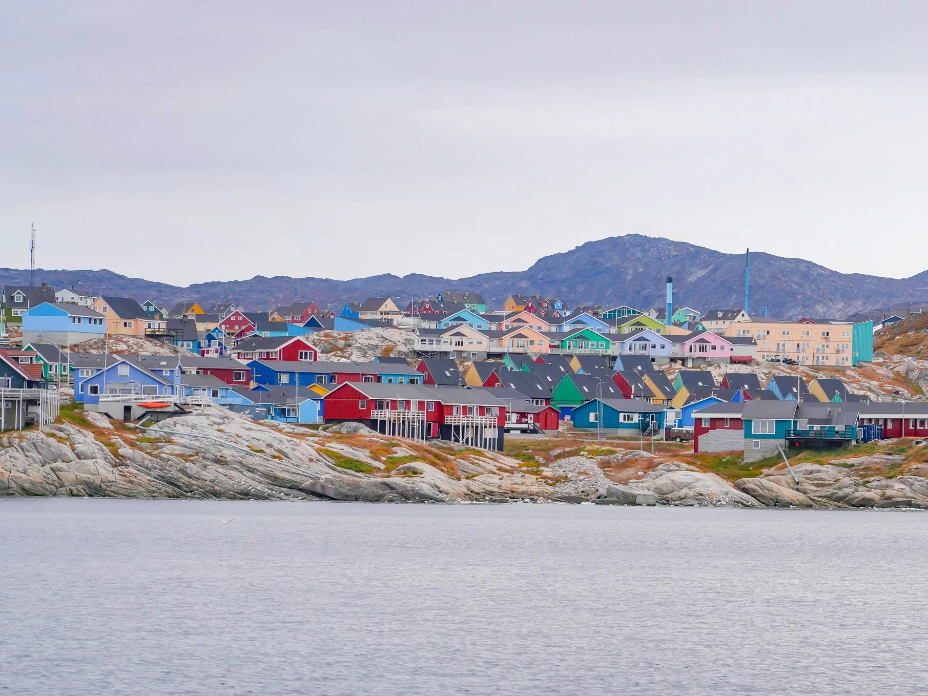
Sisimiut is a stark contrast to Ilulissat in that there is no ice here! It’s Greenland’s second largest city (next to Nuuk), and it’s the country’s northernmost city whose ship harbor doesn’t freeze, even in winter.
Sisimiut’s largest industry is fishing (primarily cod, halibut, and shrimp), and tourism is a growing industry here. In addition to its incredible scenic beauty, Sisimiut is a popular destination for outdoor activities, especially hiking, skiing and sled dog racing.
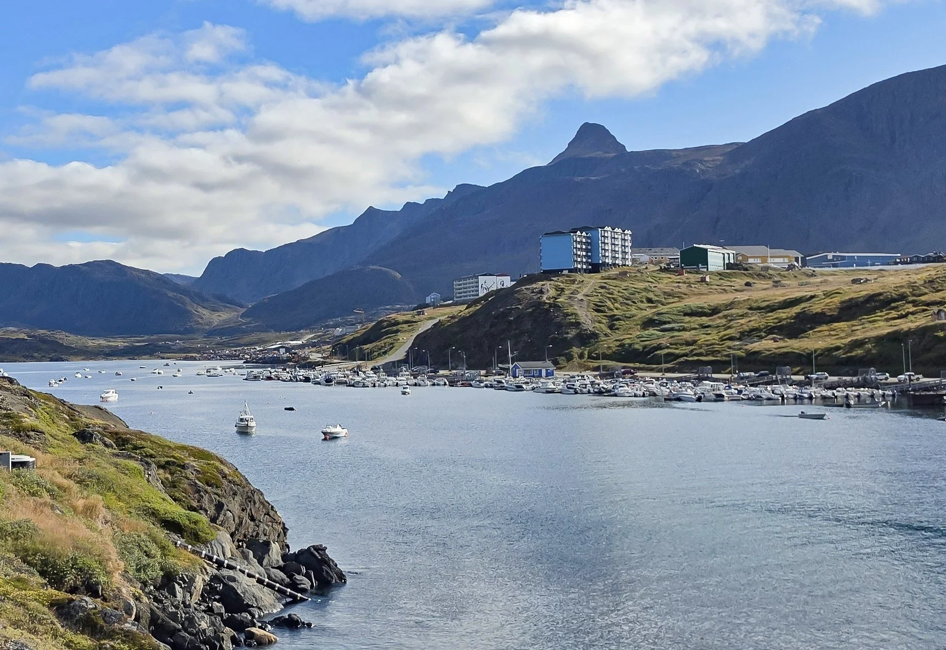
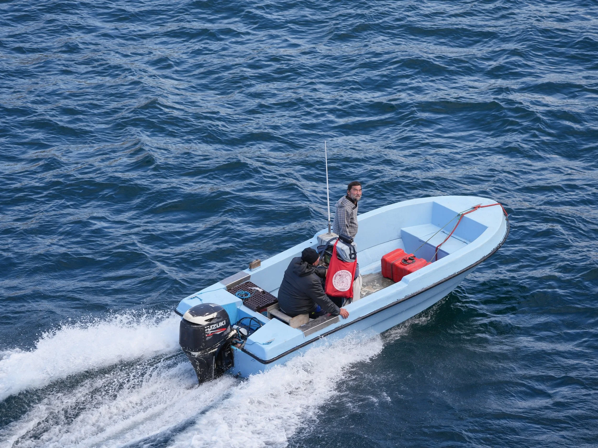
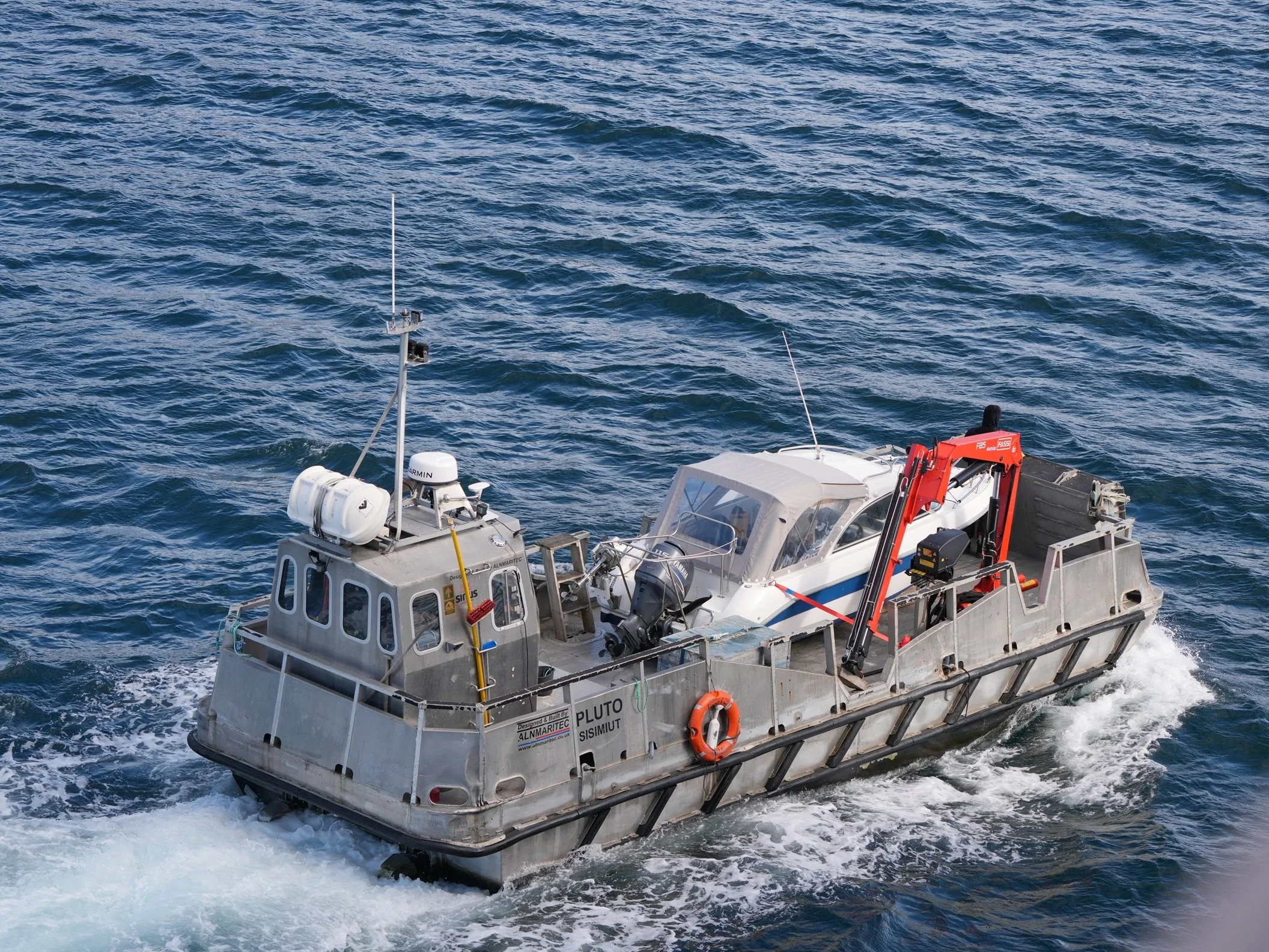
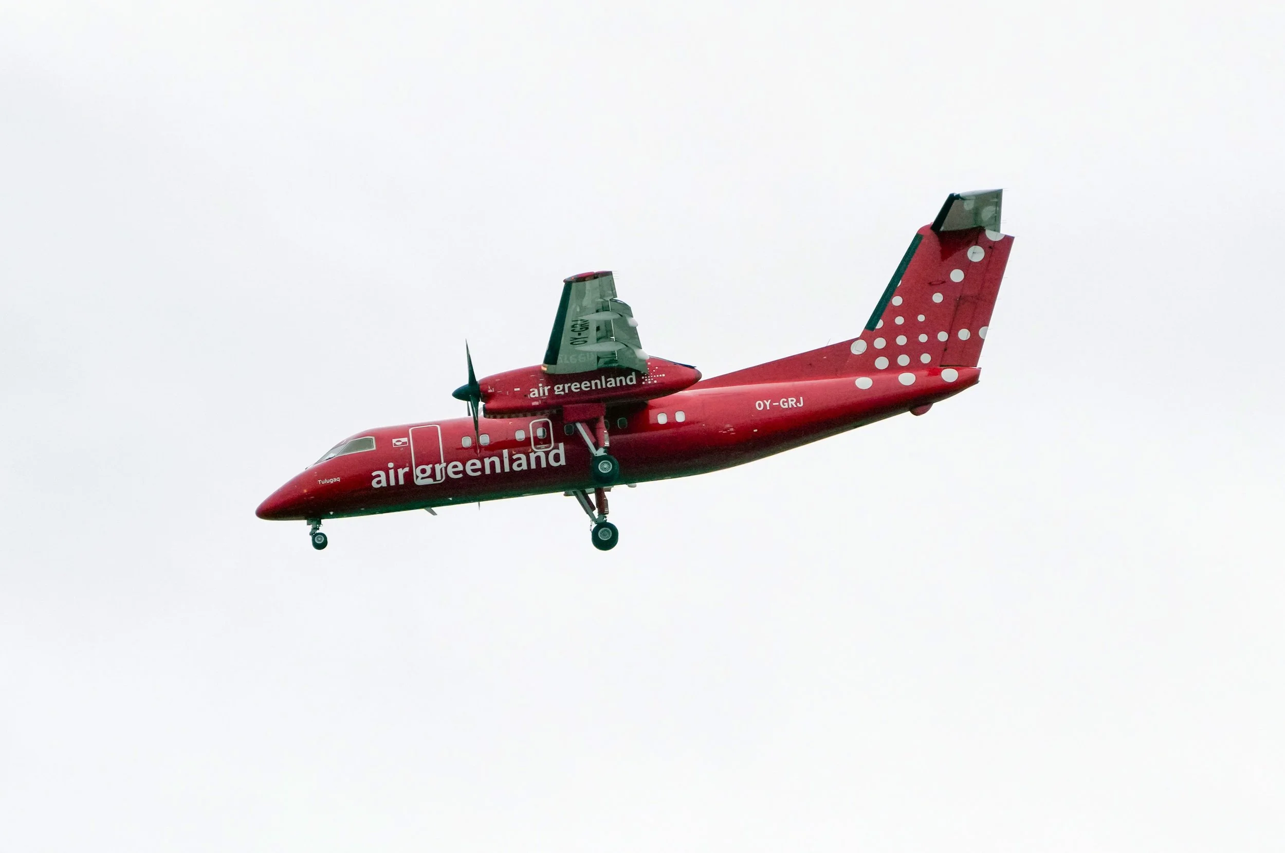
My favorite activity today was a tour that I took which showed us most of the city. We drove across Iceland’s longest bridge (all of 524 meters/1,719 ft) and got to see the large shipping harbor and fish-processing areas (although a lot of the processing nowadays takes place on fishing trawlers at sea). We also saw the picturesque small ship harbor where residents keep their boats. Cities in Greenland aren’t connected by highway systems. The only way to travel between them is by boat or air, so most people who live here have a boat.
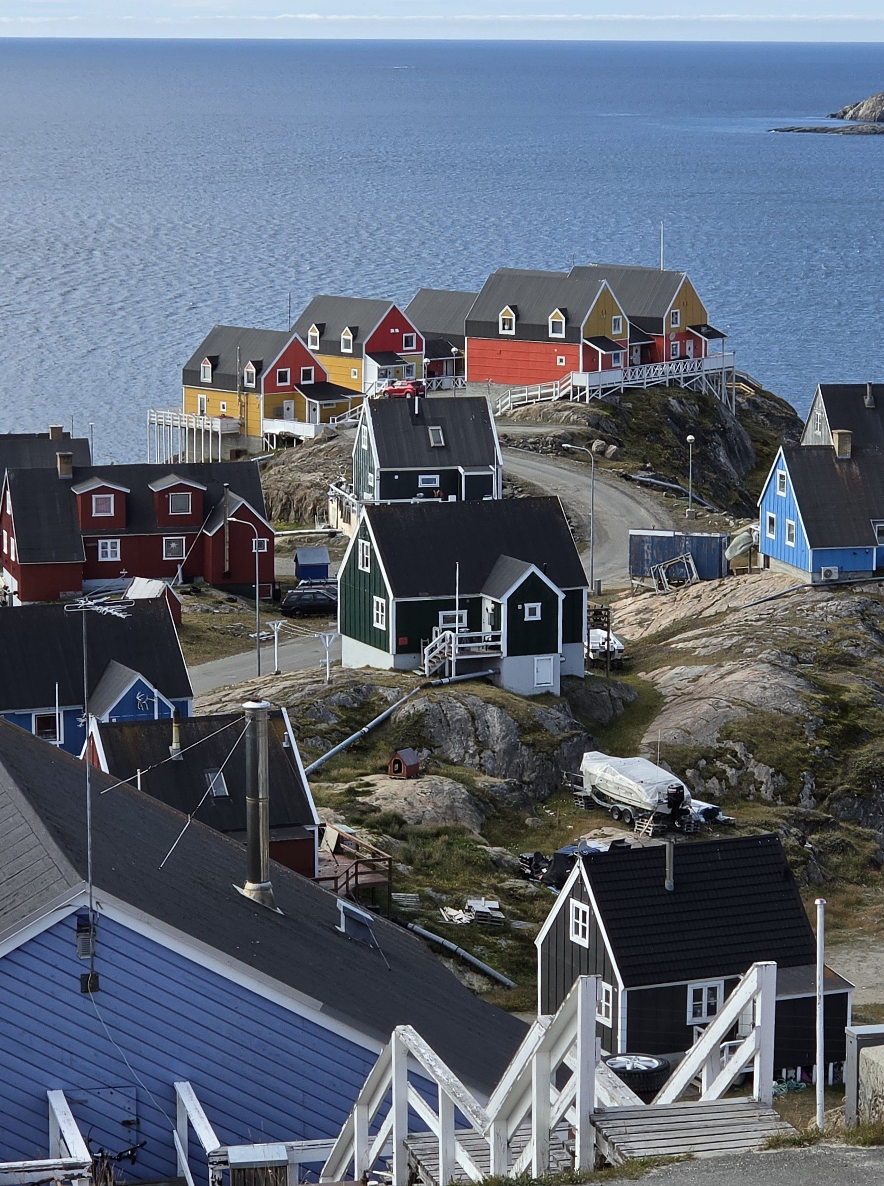
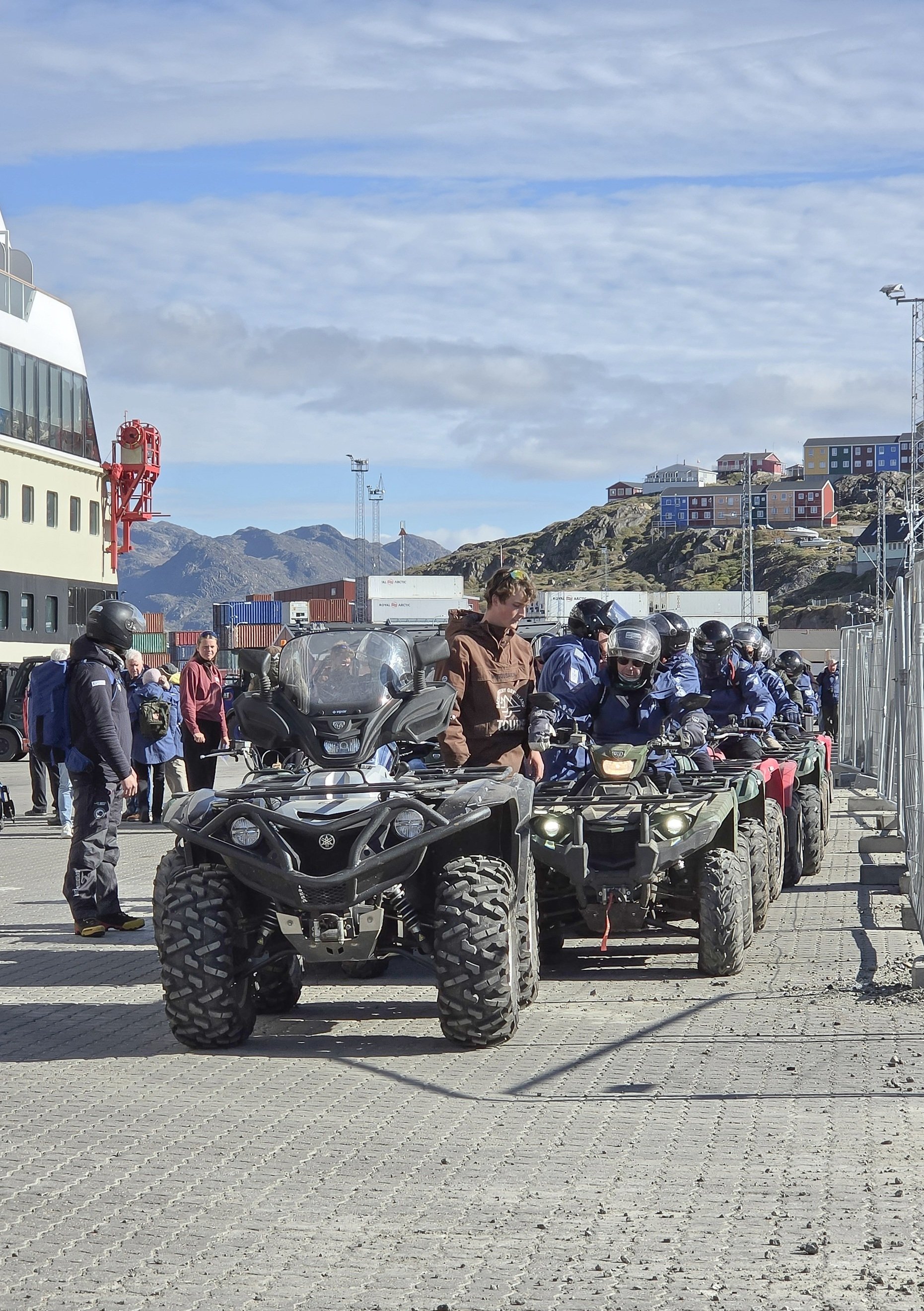
Sisimiut, like Ilulissat, is built on steep hills, and bright, colorful houses decorate the hillsides. There’s a new housing area on one side of the longest bridge, and the city is working to encourage people to move there. It’s further away from stores and facilities but homes are less expensive there. Interestingly, we learned that in Greenland, people don’t own the land their homes are built on. Here, the land belongs to everyone. If you want to build a house, you select a site and apply for a permit to build on it. If your permit is approved, then you pay for your house to be built and you pay the government a nominal rent amount for the land your house is on.
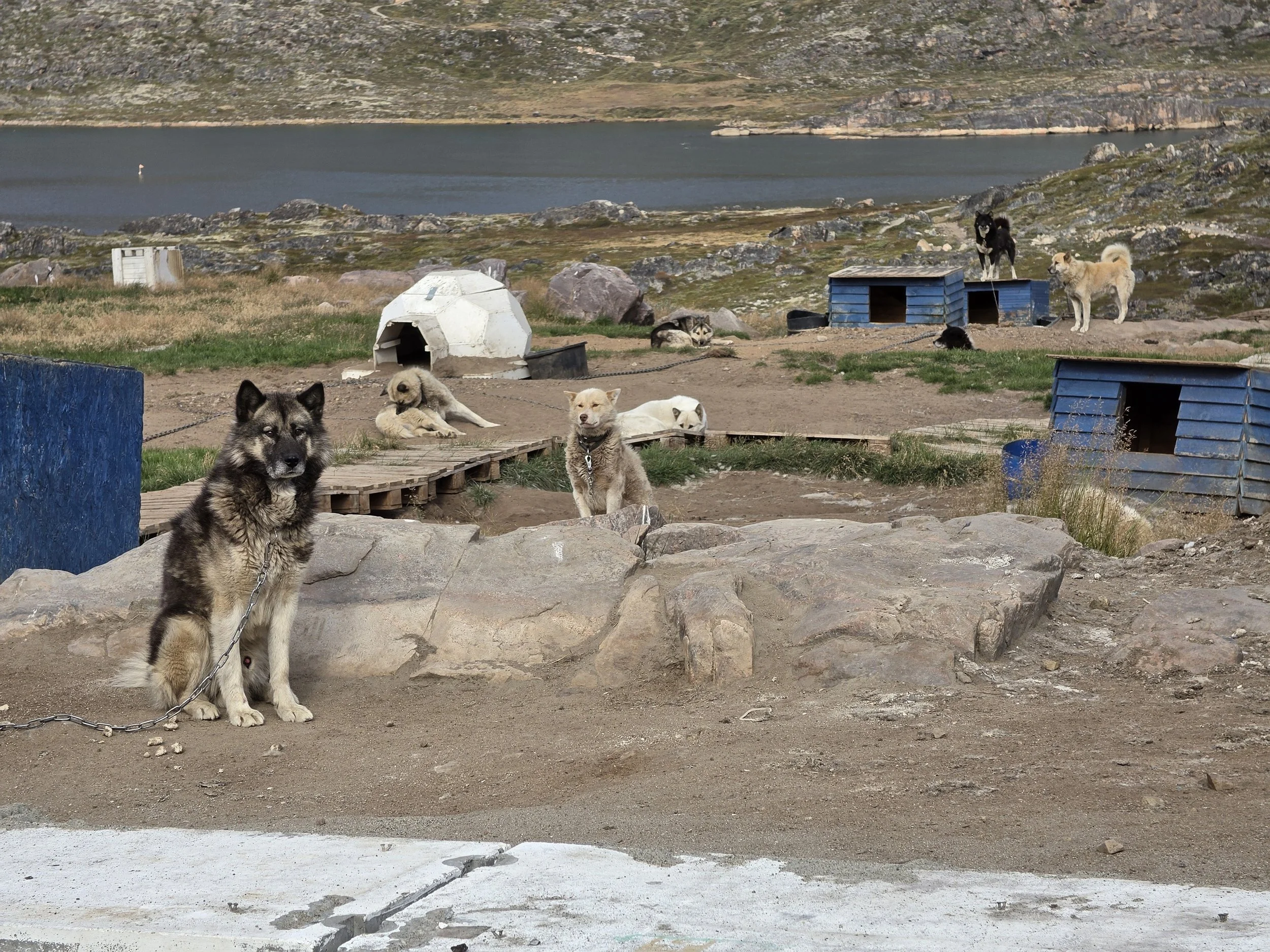
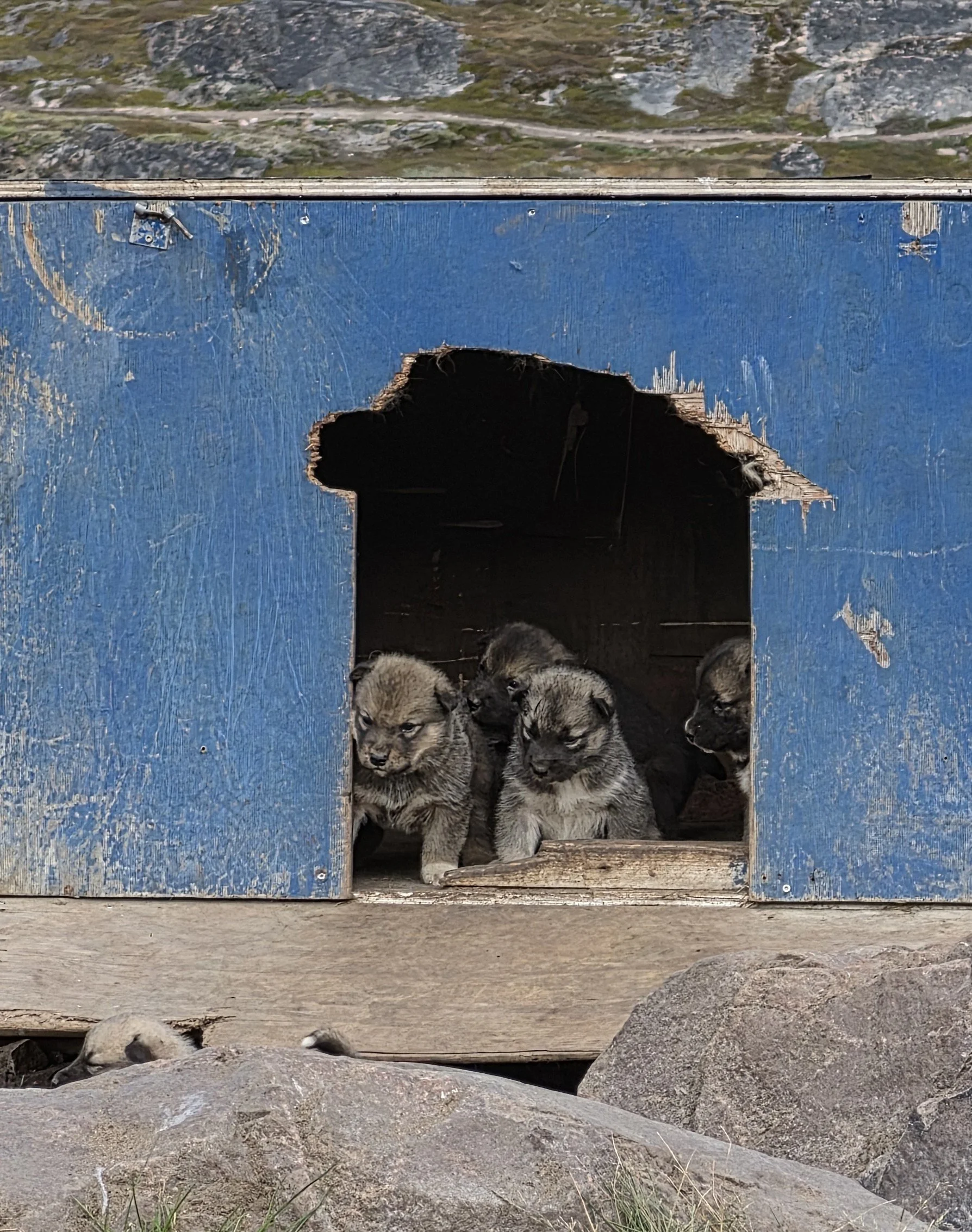
My favorite stop on our tour was Dogtown! I thought it would make me sad to see dogs who are chained to dog houses, who don’t live in or even near their owners’ homes. However, after learning about them from our guide, Hannah, I gained a better understanding of the practice. Of course, I still want my dogs with me at home and sleeping on the bed, but the dogs here are used to a very different lifestyle – and they’re loved, cared for, and valued as much as my couch-loving Labradors are! We were so fortunate to have Hannah as our guide, as she and a partner jointly own 42 dogs! She took us to where her dogs live in Dog Town, and we got to pet the puppies and see the gorgeous dogs who live all over the hillsides. More than 1,000 sled dogs live in dog town, which covers a huge area outside of town.
The dogs here are the breed “Greenland Dog” (the language of Greenland uses straightforward names for things – you call something what it is 😊). They look a bit like Huskies or Samoyeds. Like Siberian Huskies and Malamutes, they are one of the breeds most closely related to wolves. Greenland Dogs have been recognized as one of the oldest and purest dog breeds, remaining unchanged (and kept pure) since they arrived here with early Arctic people thousands of years ago. The dogs are used as sled dogs. This is still a method of transportation today, but it’s being replaced bit by bit with snowmobiles. People like Hannah are working to keep the sled dog tradition alive. Sled dog racing is very popular here as well as being culturally important. Sisimiut regularly hosts Greenland's most prestigious national dog sledding championship. This major sporting event draws the country's top mushers, hundreds of dogs, and global attention to the town.
The sled dogs live outdoors (with access to dog houses) all year around. They’re fed a high-fat diet, which suits their body’s needs for living in Arctic weather conditions and for expending huge amounts of energy pulling sleds. They get exercised regularly to keep them fit and happy. We saw two boys riding their bikes with dogs on log leashes running ahead of them! Hannah told us that the puppies are often given away to other local residents (or traded for another dog) to help avoid inbreeding. However, if they were to sell a dog to someone outside Greenland (which rarely happens) they would charge upwards of 40,000 Euro ($46,000 USD) per dog! After getting to pet a couple of these special puppies, I have to say that they would be worth every penny!
Tonight, we get to attend an Arctic concert at the Cultural House. Then our ship will head out of another beautiful port, on our way to the Evighed Fjord – tomorrow’s adventure!



The Northwest Passage - Day 21
Ilulissat, Greenland
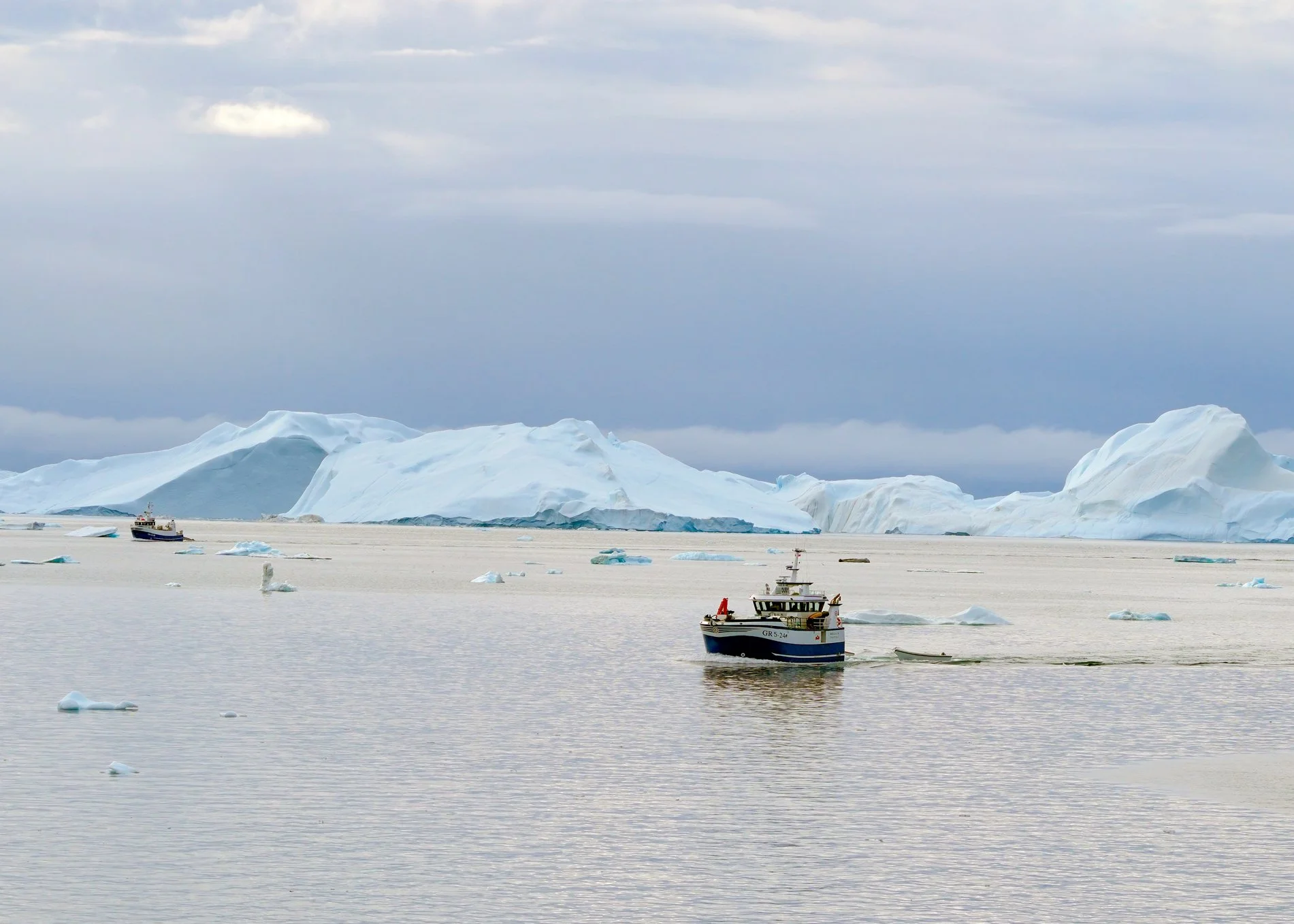
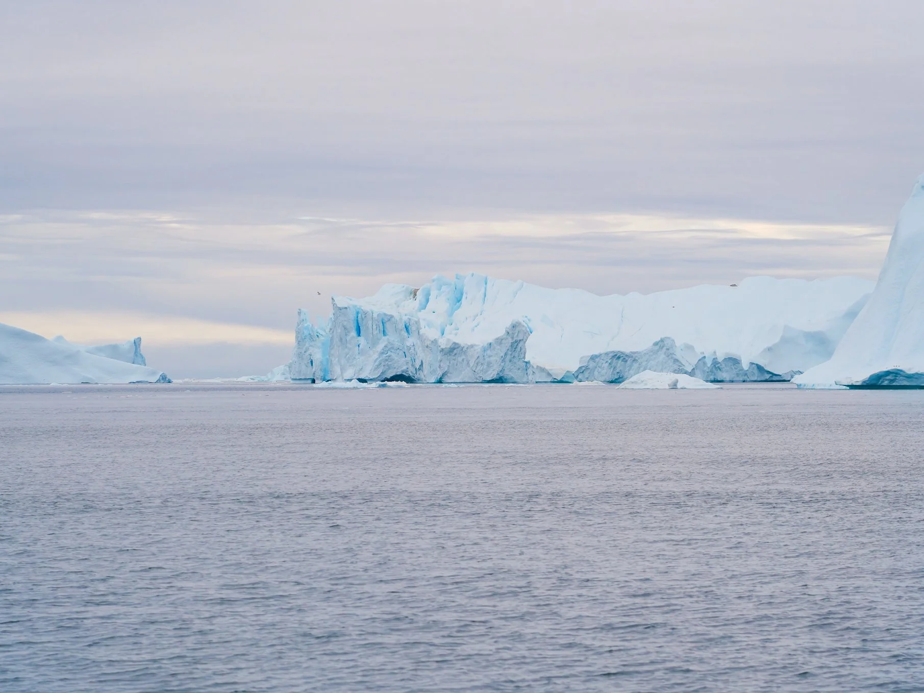
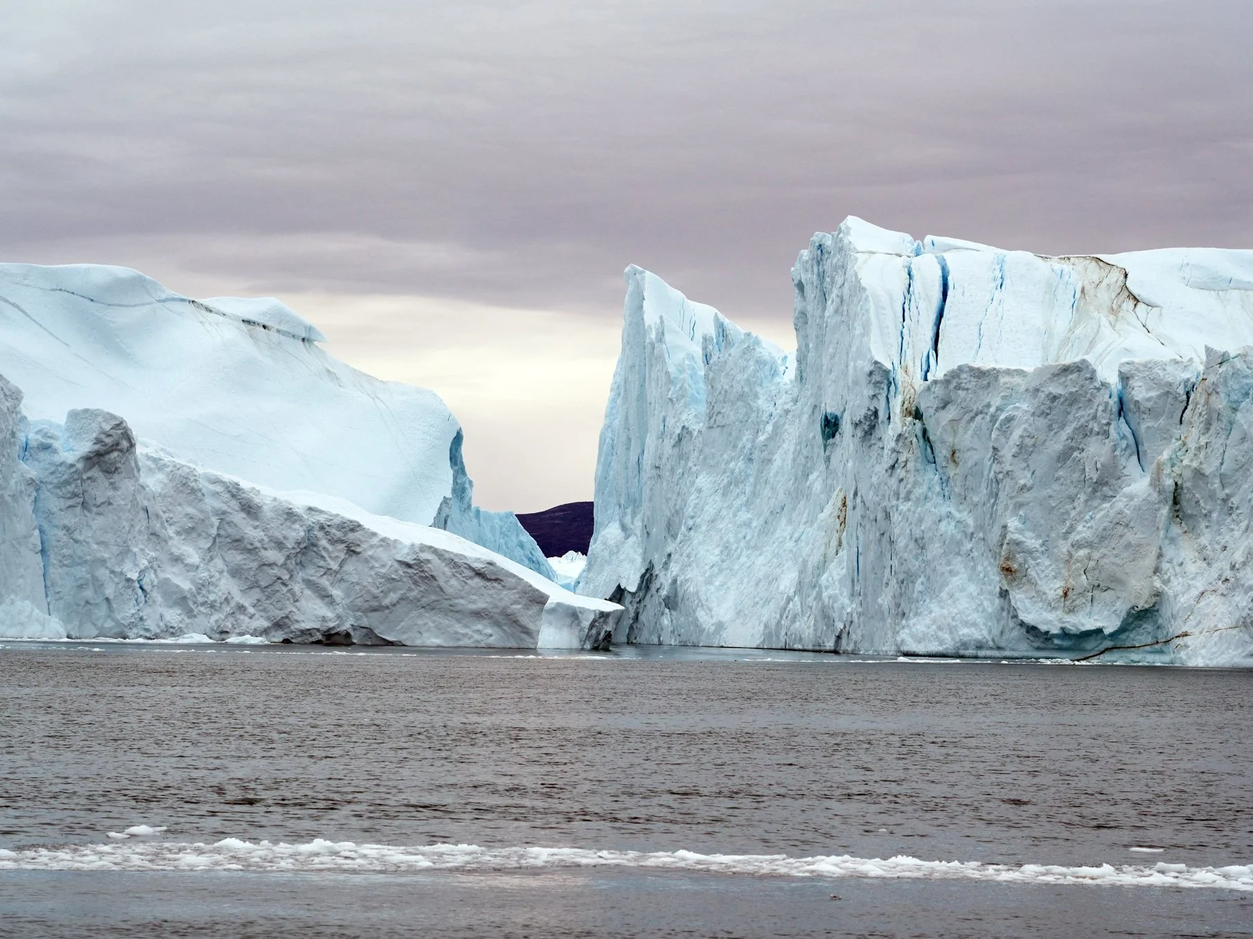
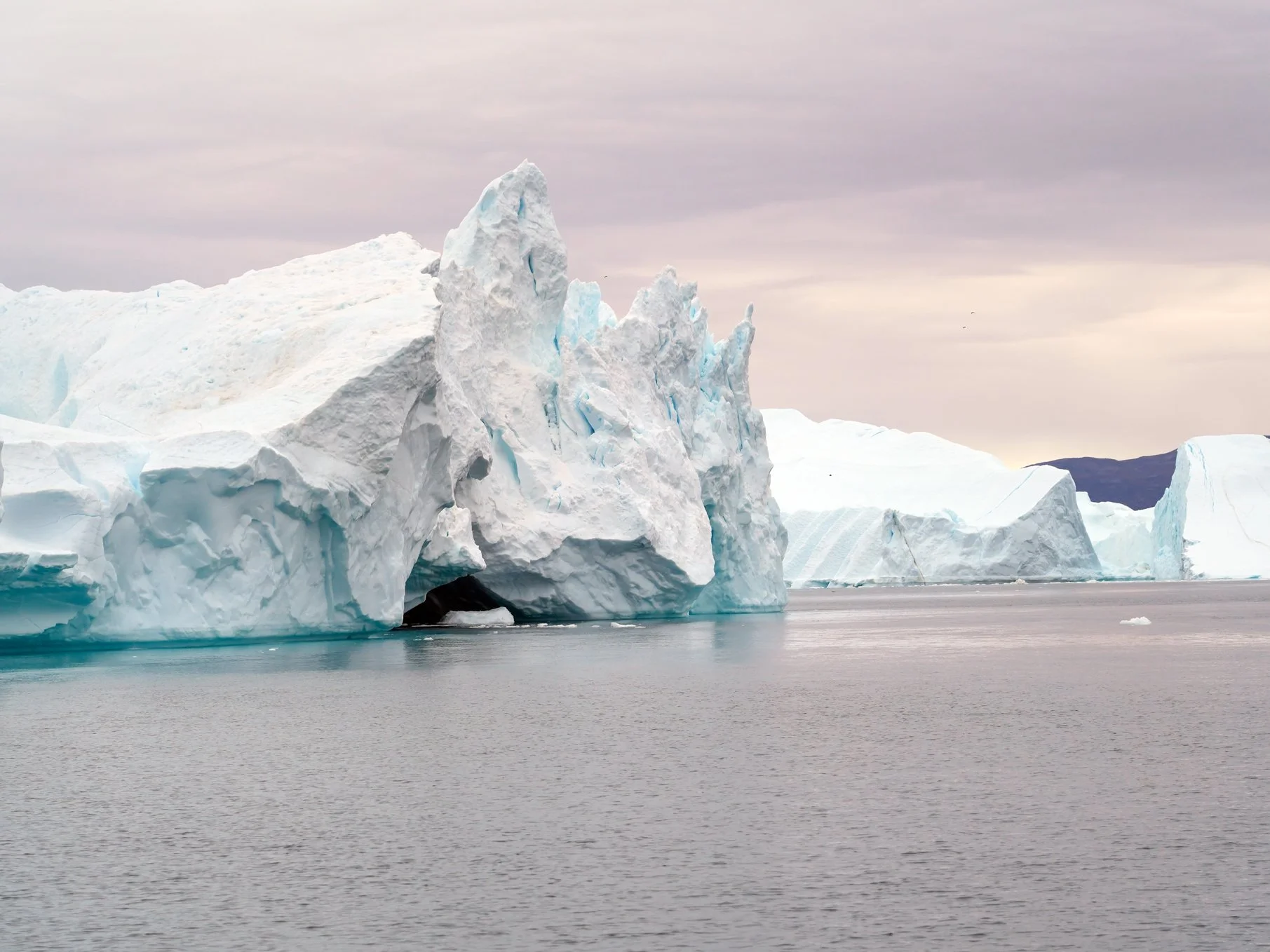
I woke up to icebergs! Massive, building and stadium-sized icebergs! We arrived in Ilulissat, the iceberg capital of the world, in the early morning and were able to start going ashore at 8:30 AM. We had all day here to explore. It was nice to be able to use the tenders again and not have to bundle up in waterproof gear for a Zodiac ride.
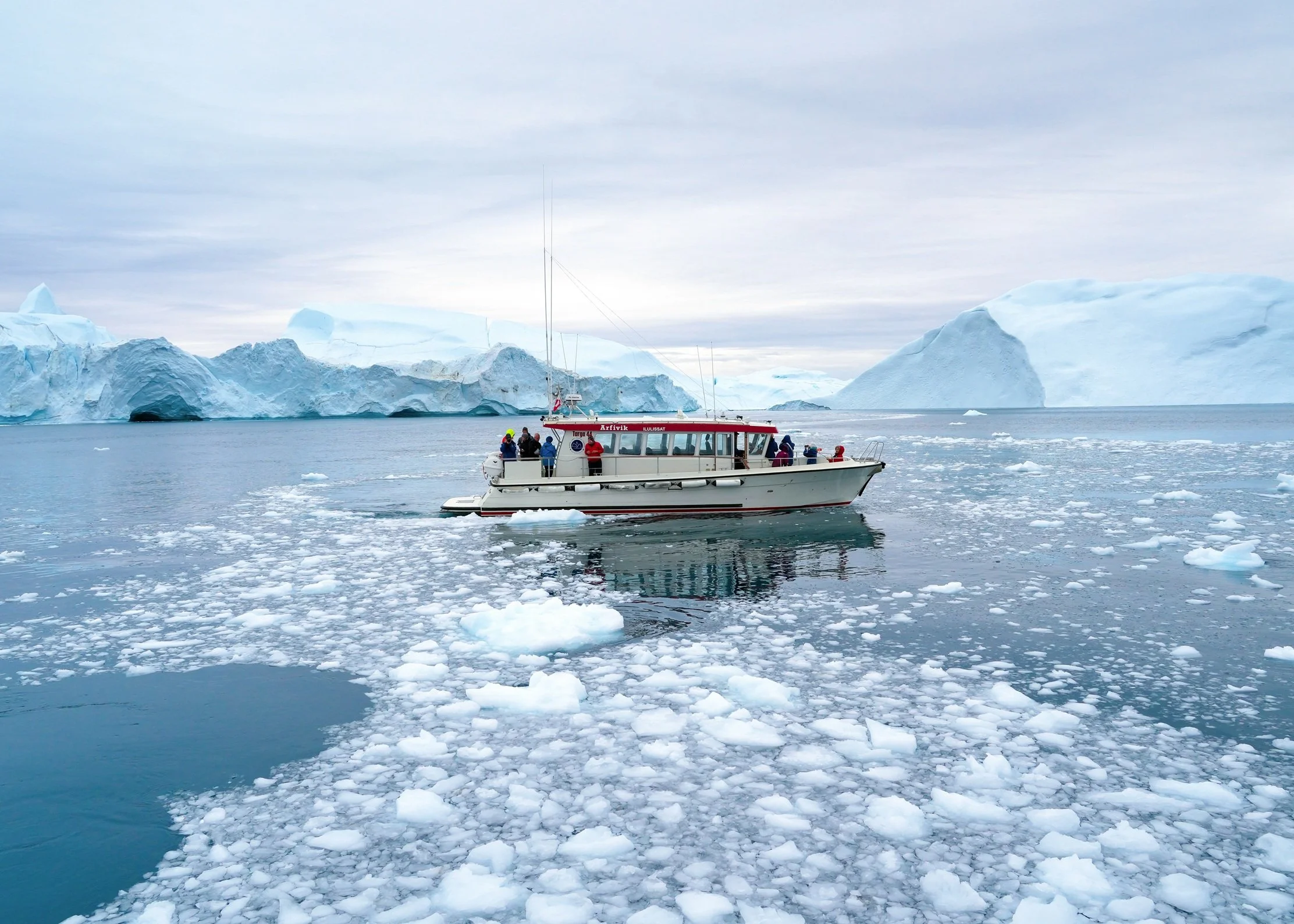
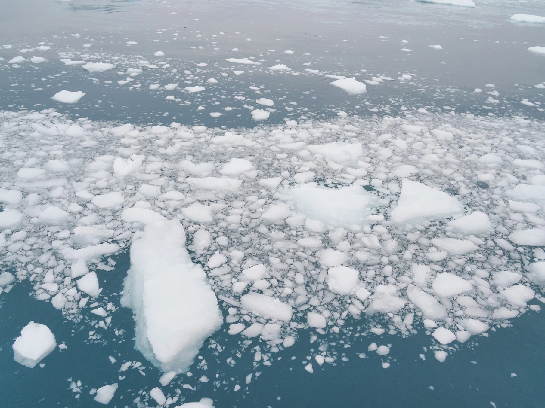
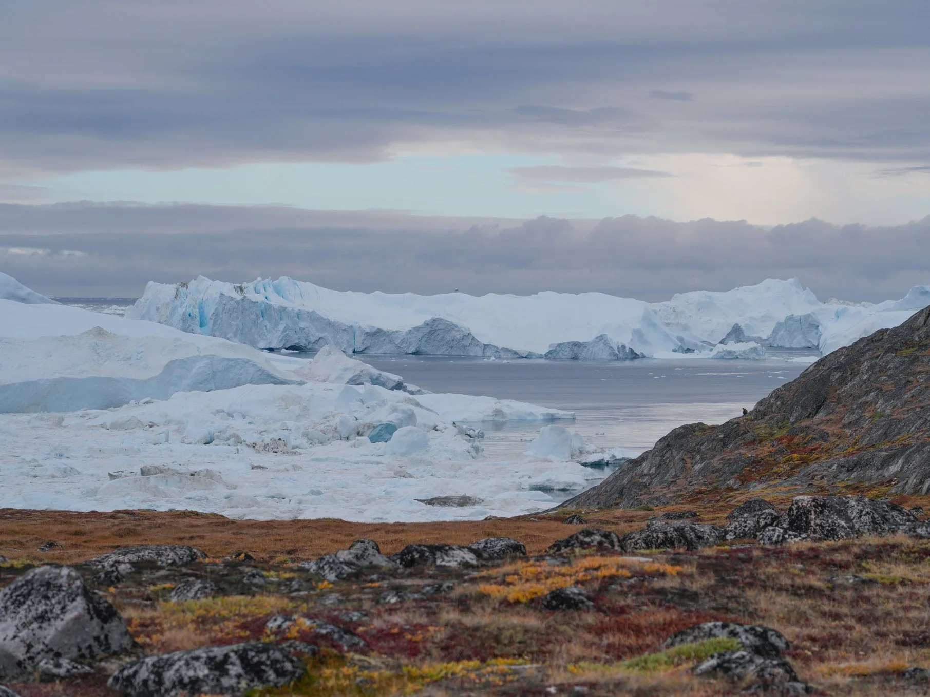
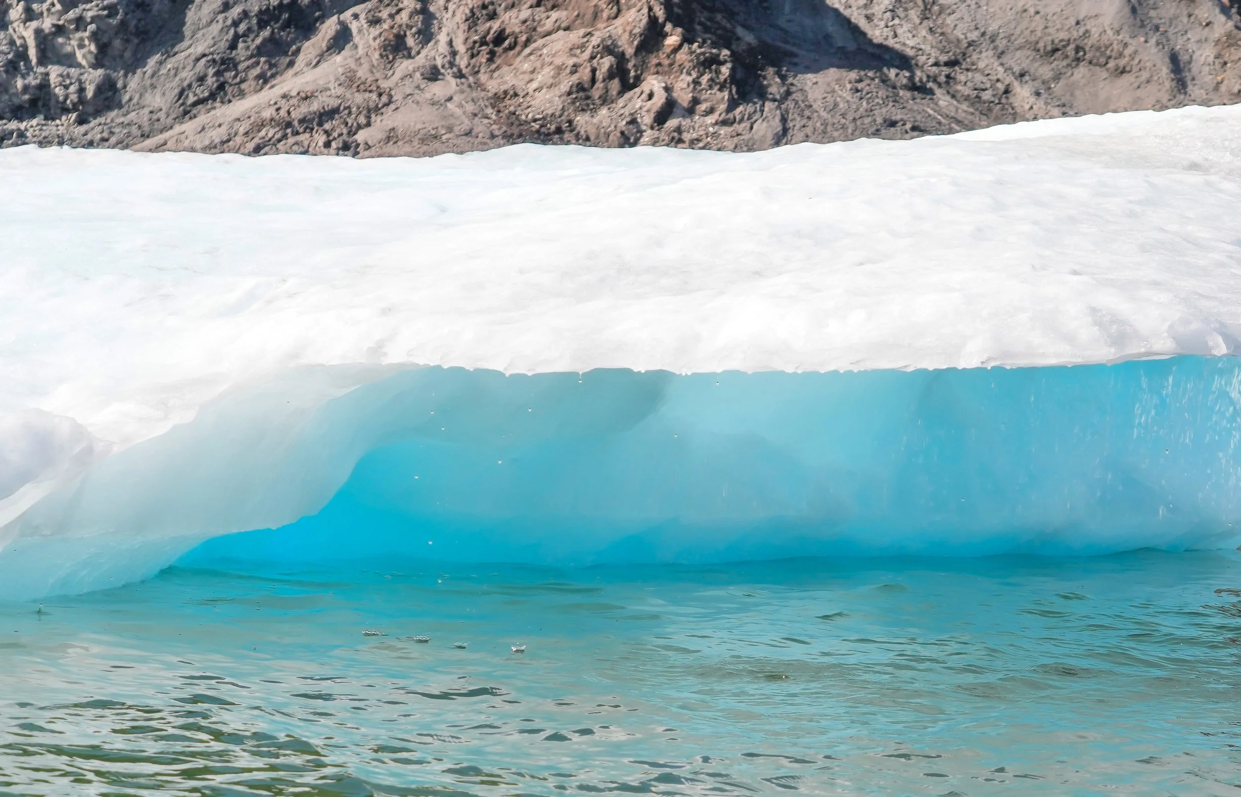
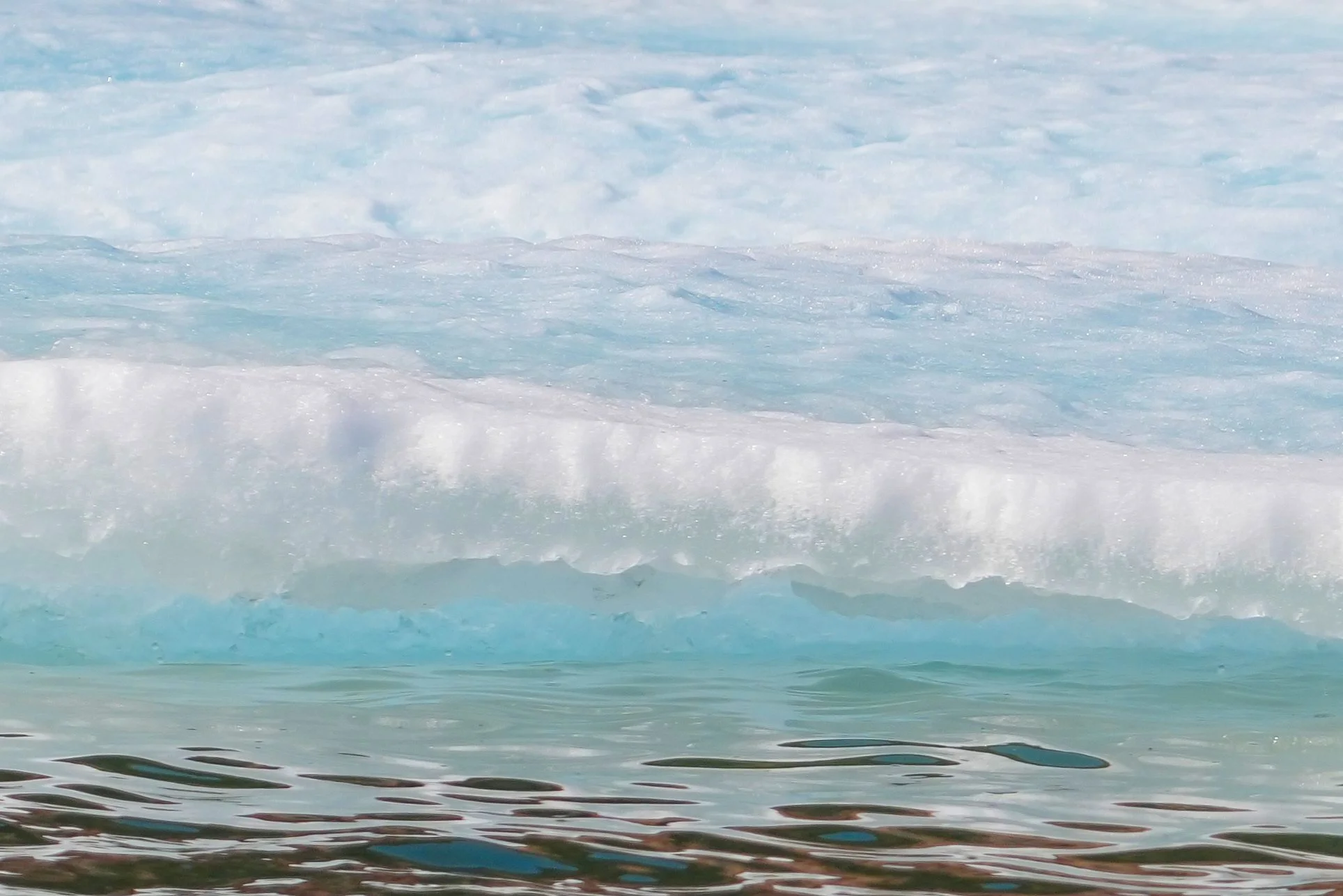
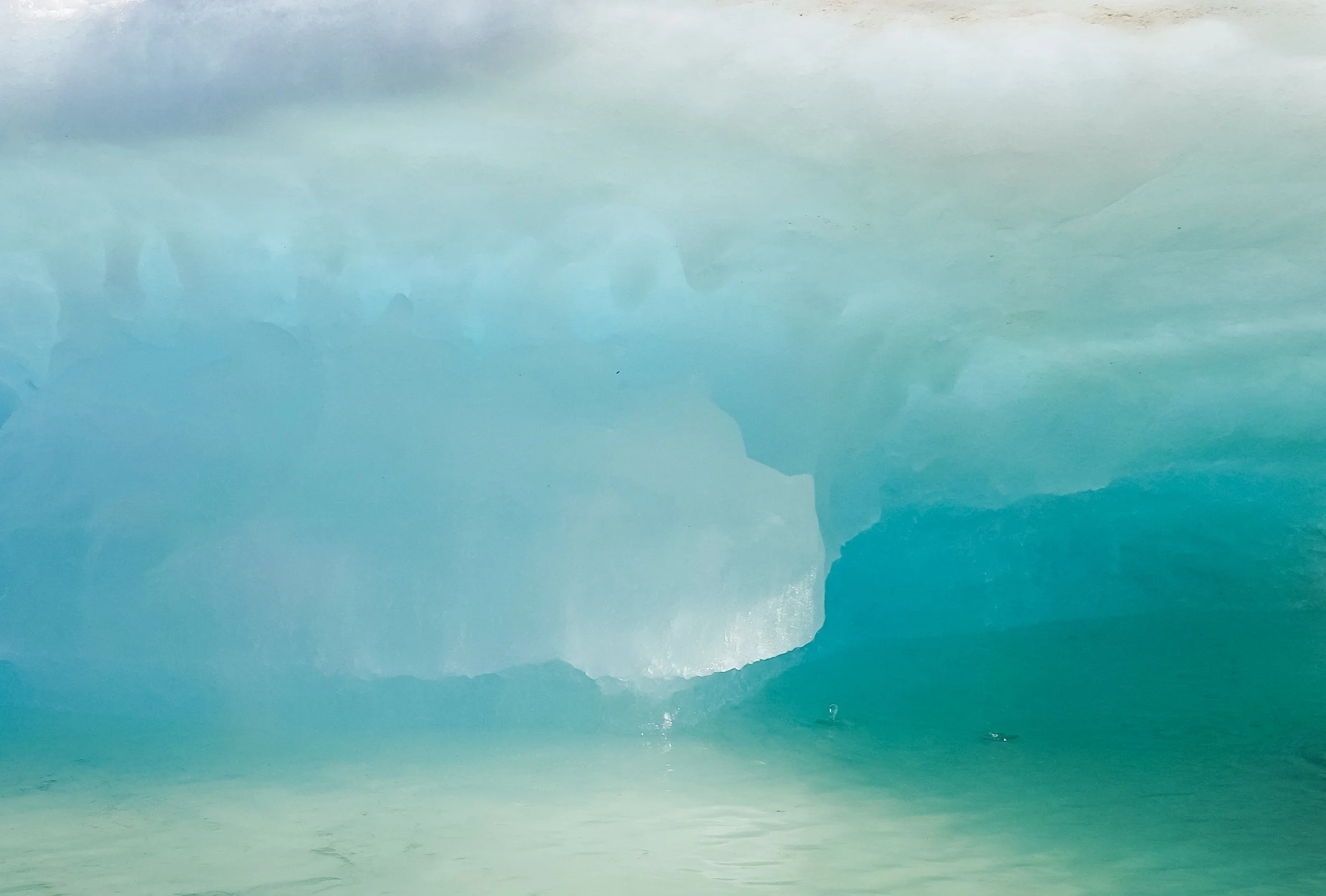
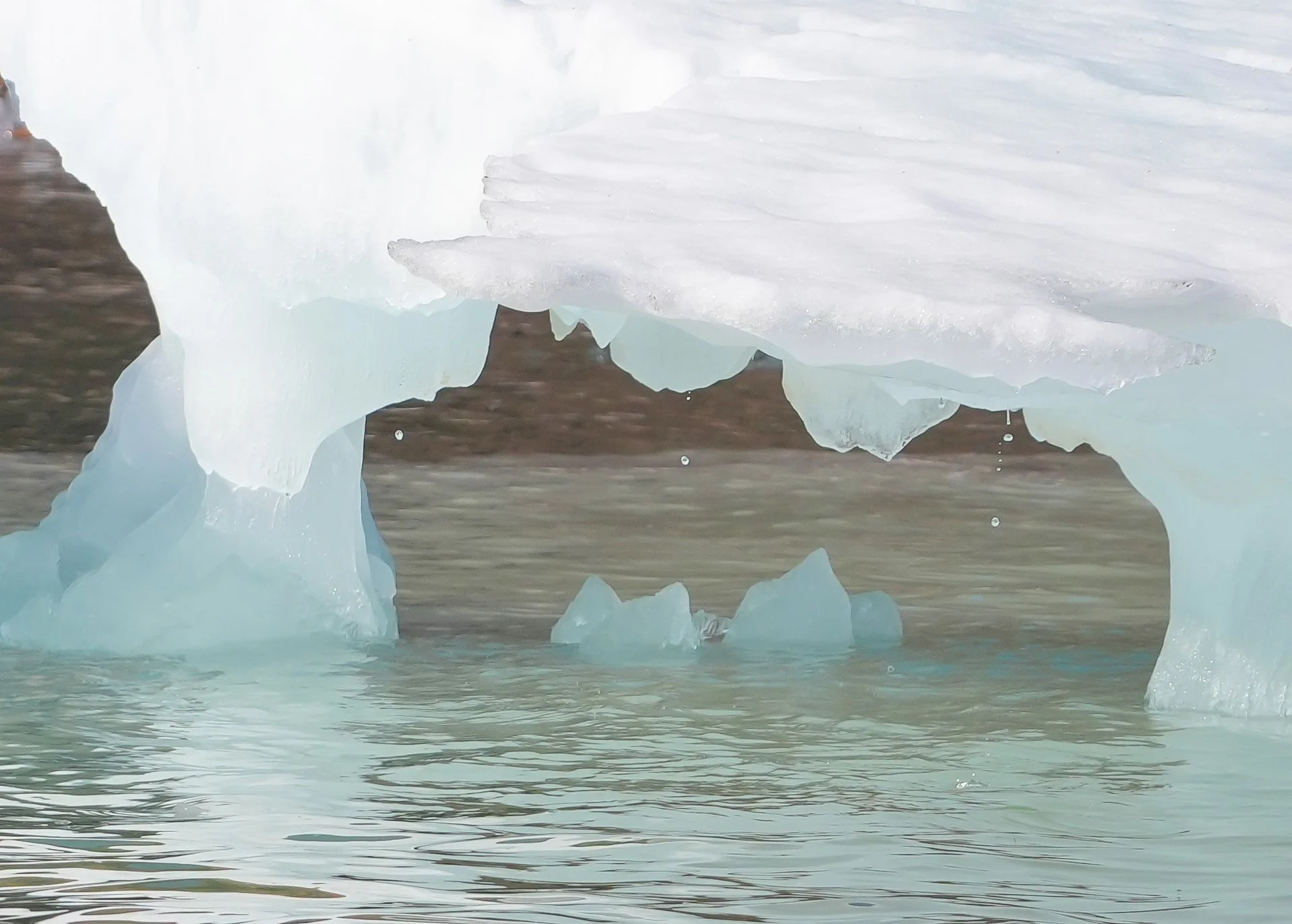
I took a small boat tour out into the ice fjord – wow!!! What an amazing experience! It’s hard to convey through photos how massive the icebergs are. And there are so many different colors of ice! Our guide on the boat was definitely an ice expert! Icebergs are formed from freshwater glaciers that then break off into the sea. This is different from the sea ice that we traveled through earlier in the voyage. Sea ice is created by sea water freezing in the winter and then breaking up into chunks and floating free. Sea ice can collide and pile up, forming large ice floes, but none of those approach the size of the icebergs we saw here. We learned that the way the ice is formed and what happens during its lifespan affects the color and texture of the ice. The local ice experts here know the icebergs’ histories – some from observation and some from reading the ice itself.
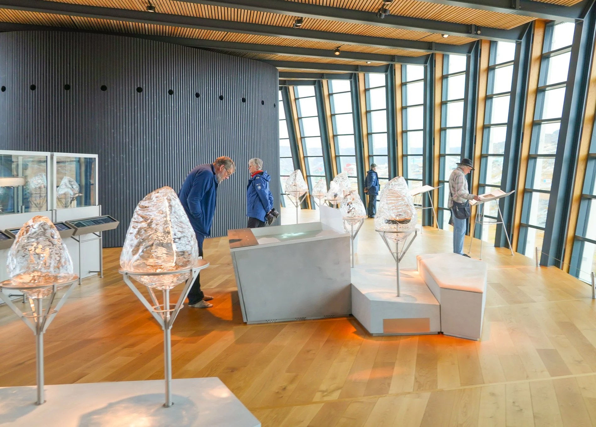
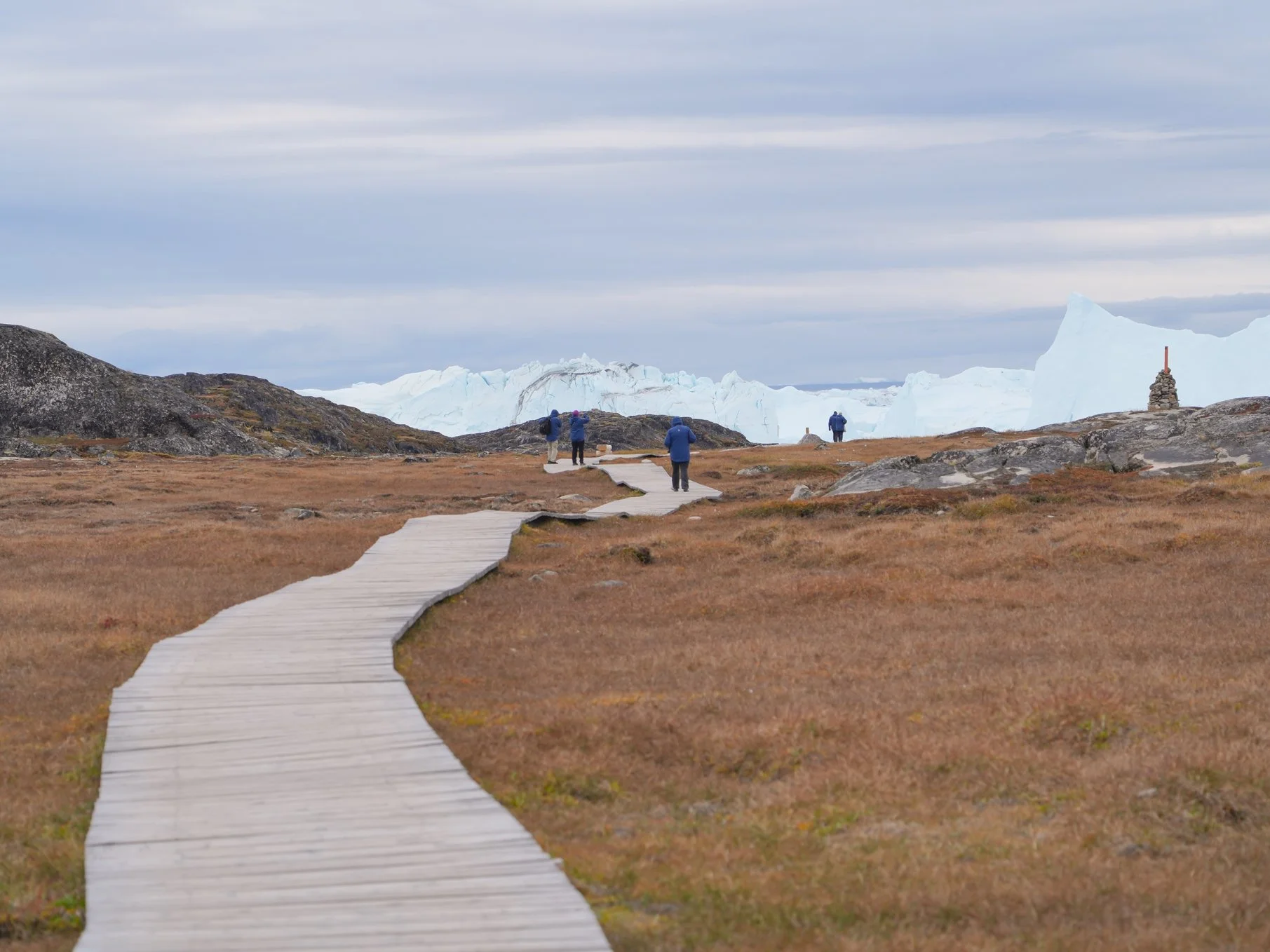
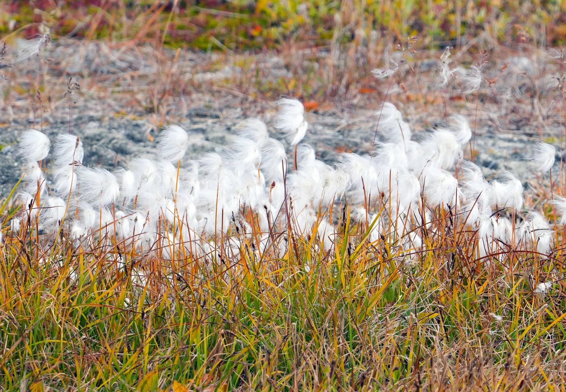
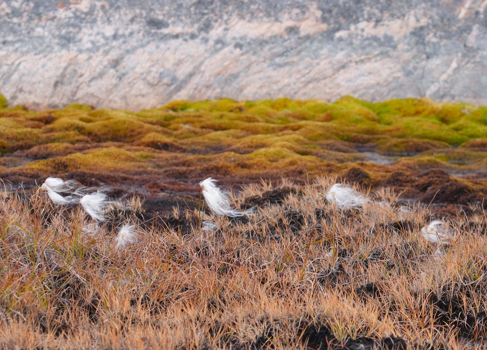
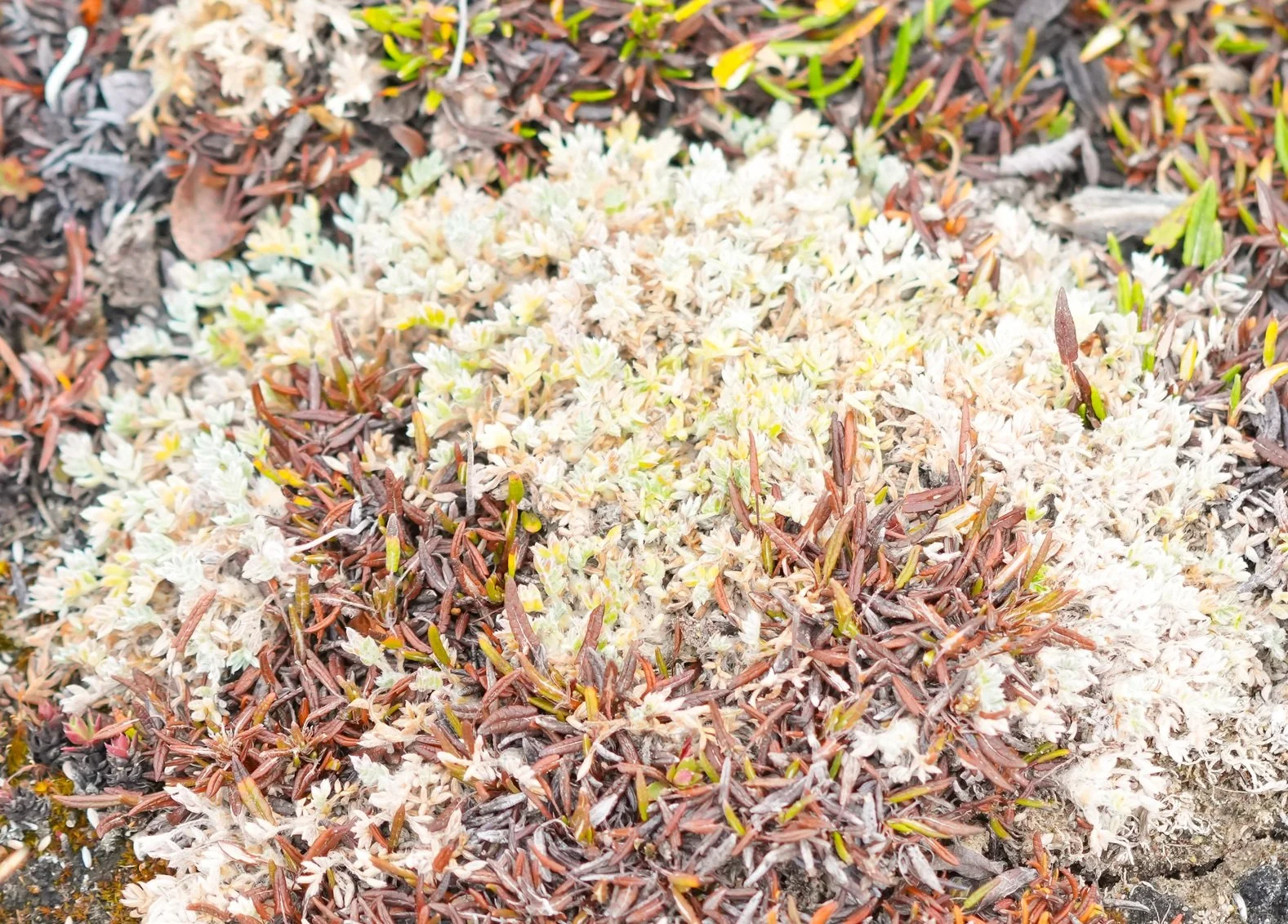
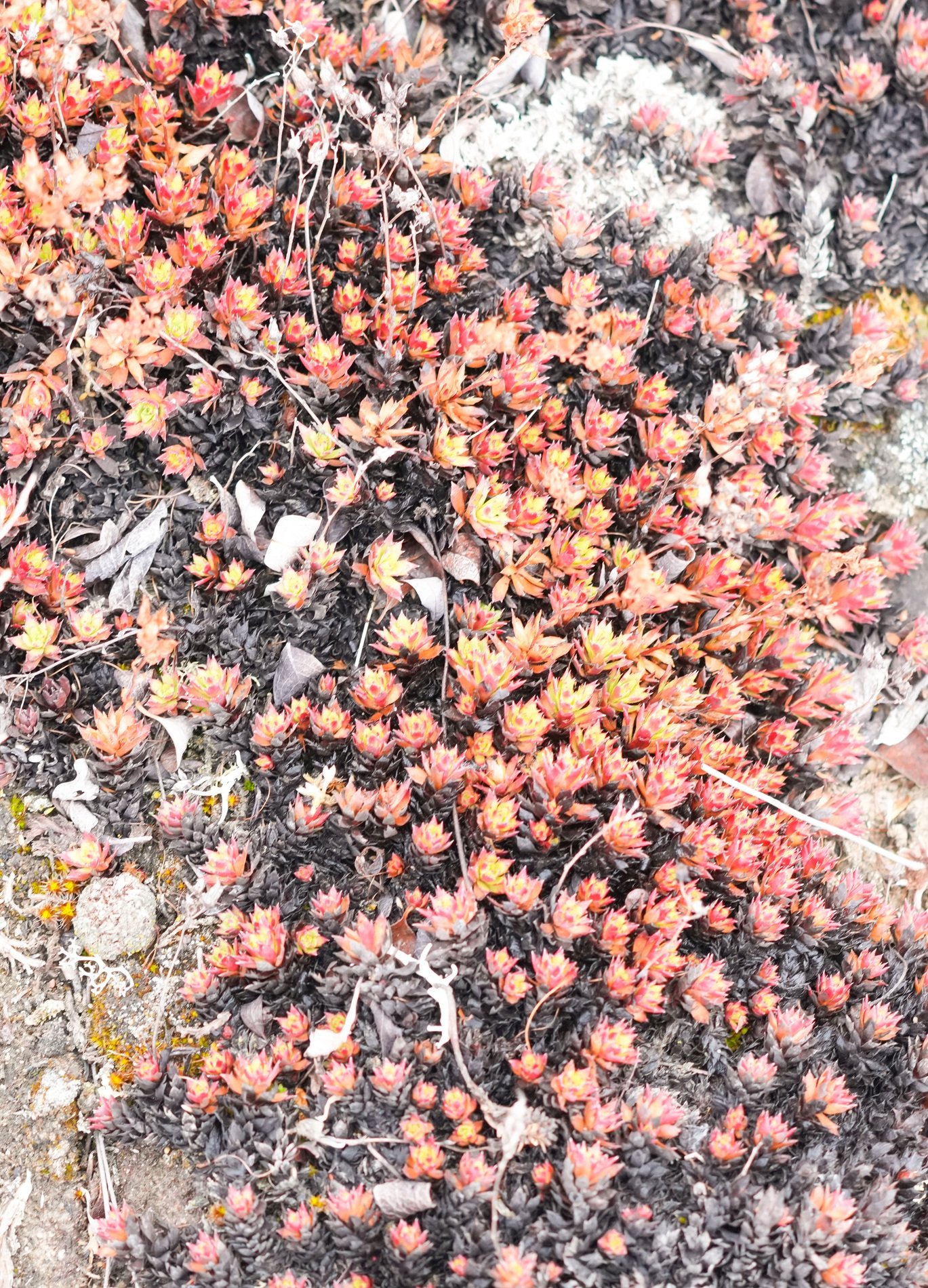
After the amazing boat tour, I caught a shuttle bus to the Icefjord Center. It’s a visitor and research center. The stunning building design mimics a snowy owl in flight. Exhibits include "The Story of Ice," showcasing local Inuit culture, 4,000 years of human life at the Sermermiut archaeological site, and scientific insights into global climate change. I got to view and listen to the exhibits inside. The inside is very peaceful and zen-like - it really mirrors the peaceful feeling you get when you’re surrounded by the ice! Outside, you can walk up the sloped rooftop for a panoramic view, but I skipped that - I didn’t think my knees would like it! It’s an amazing building design, though. There’s also a boardwalk that crosses over the bedrock and wetlands area outside, and it’s just under a mile walk down to the ice fjord. From here, I got to enjoy a view of the icebergs from land. The area that I was walking through was ruggedly beautiful, too! It’s largely ancient rock formations but the ground is a canopy of life as well. In between rocky areas, there are small pools and a variety of plantsm including grasses, ground cover, moss, and lichen. My favorite plant is the Cottongrass. It grows close to the ground and produces fluffy white “tassels” that cling to the stems while the wind tries to break them free. This white fluff had many uses in Inuit communities, including being used as wicks for the traditional qulliiq lamps, used as tinder to help start fires, stuffed into boots and mittens for added warmth, and even used to line baby diapers!
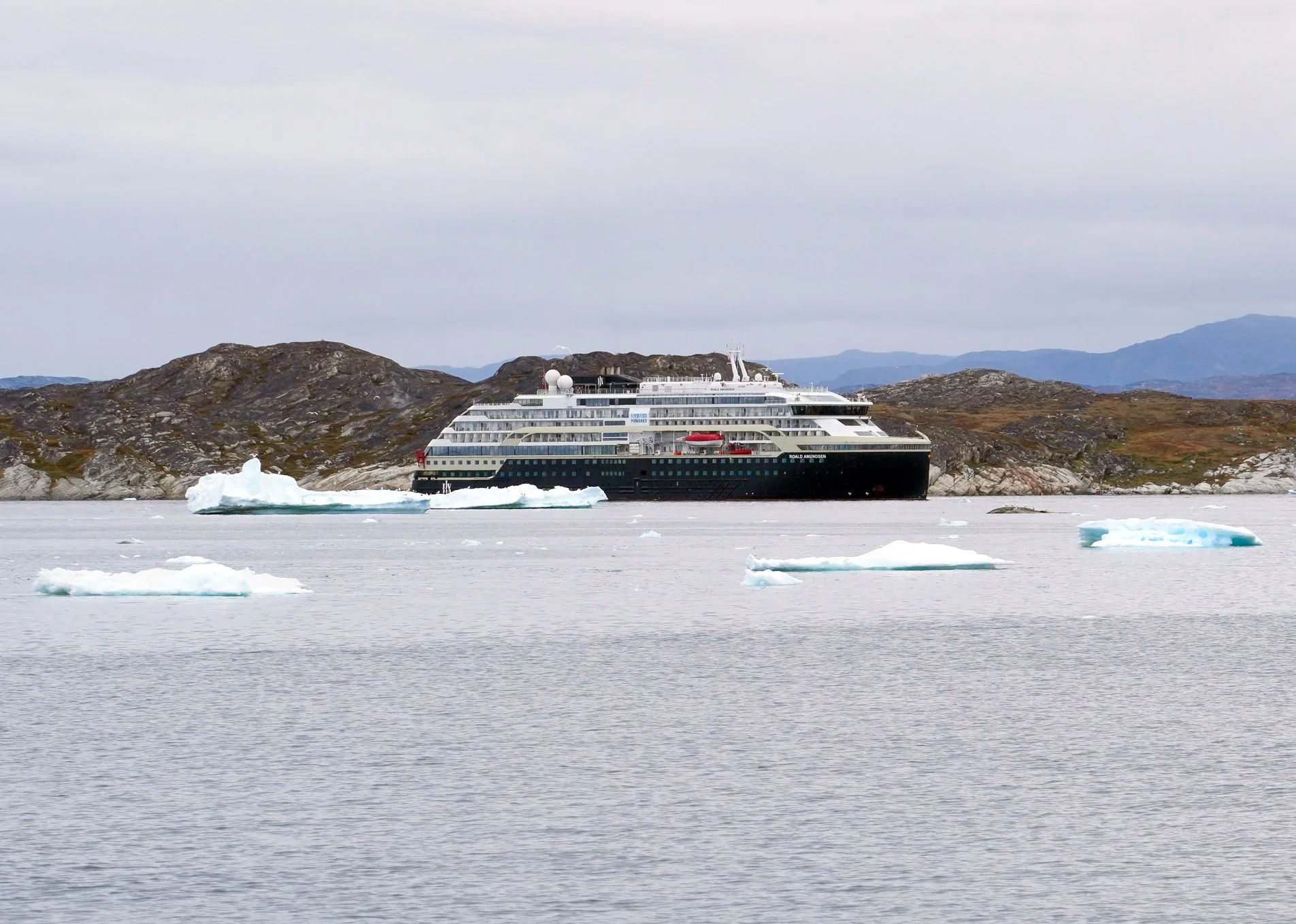
After a beautiful day in this city that celebrates the incredible ice that surrounds it, the ship left Ilulissat at dinnertime, and we had more stunning views watching as the ship slipped past many icebergs that had broken free from the fjord and are now travelling through Baffin Bay. What an amazing day!


The Northwest Passage - Days 19 & 20
Sea Days crossing Baffin Bay
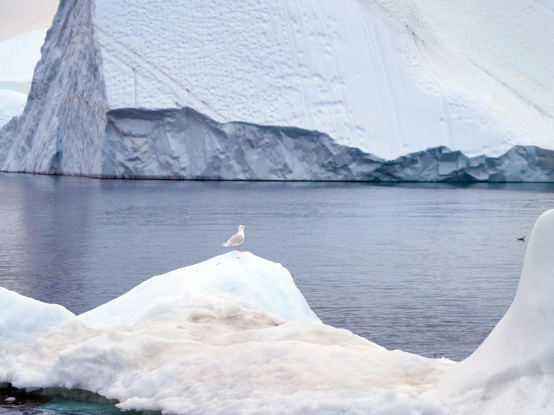
I’m going to combine two days’ updates into one blog entry, since we’re at sea and there’s less to report on. 😊 I’m enjoying the sea days very much – after so many landings, it’s nice to have a relaxed schedule and enjoy being at sea! I’m really going to miss being on the ship, getting to see the water all day long, watching for birds, seals, and whales, and feeling the movement of the ship. We’ve been super lucky with our weather, and the crossing of Baffin Bay has been extremely smooth – less than 1 meter/3 foot swells, and today, there’s been very little wind.
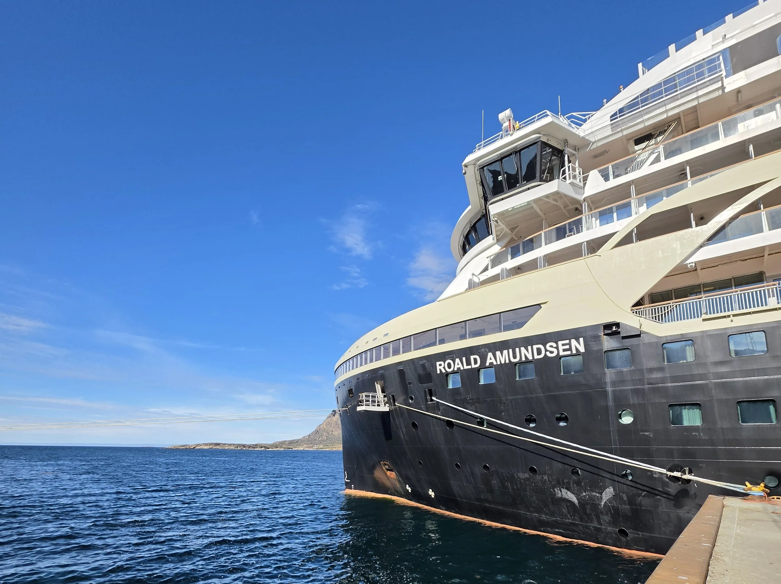
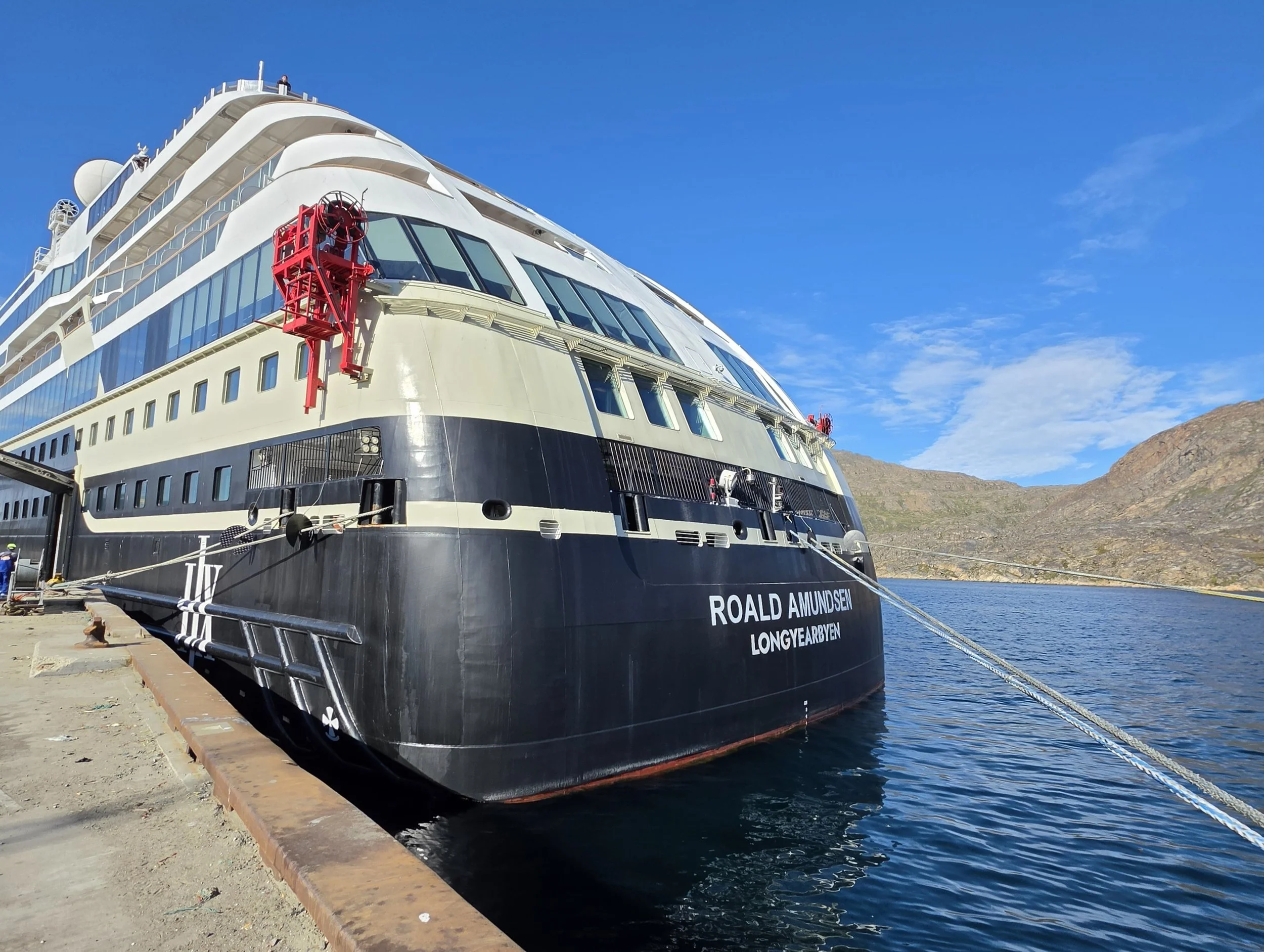
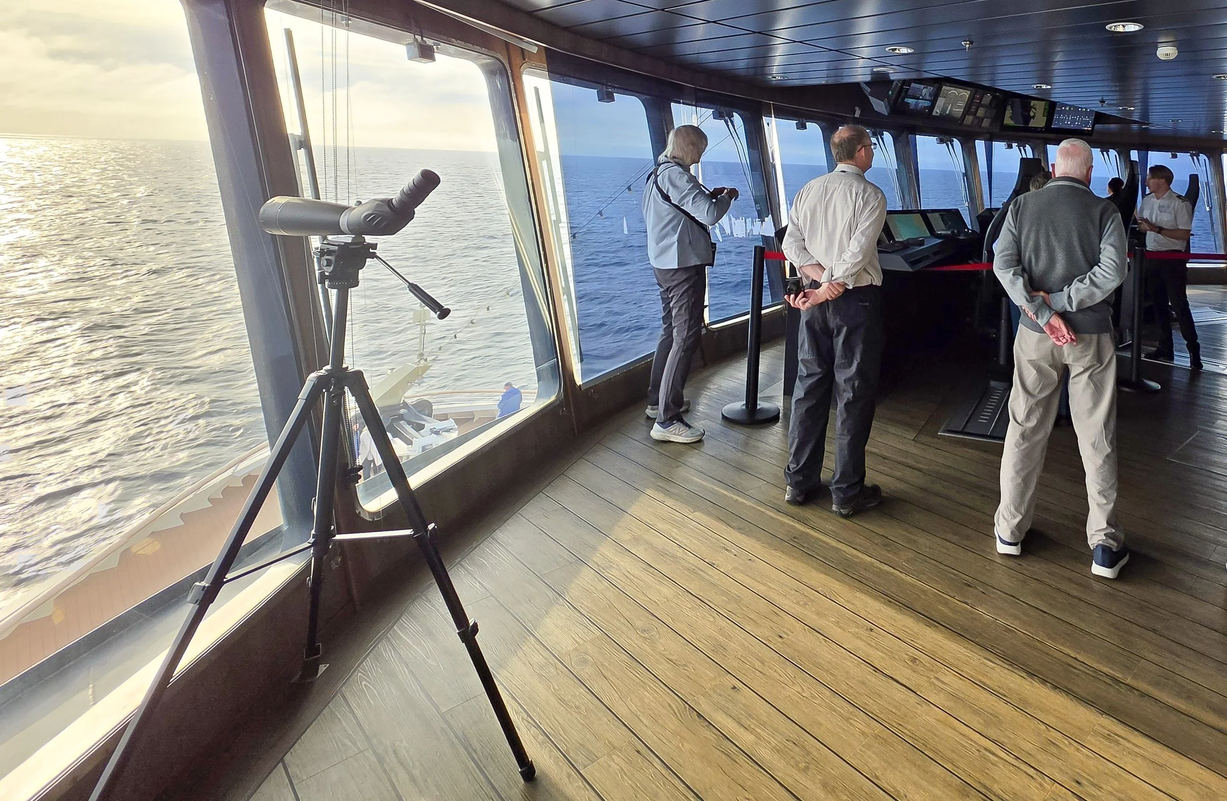
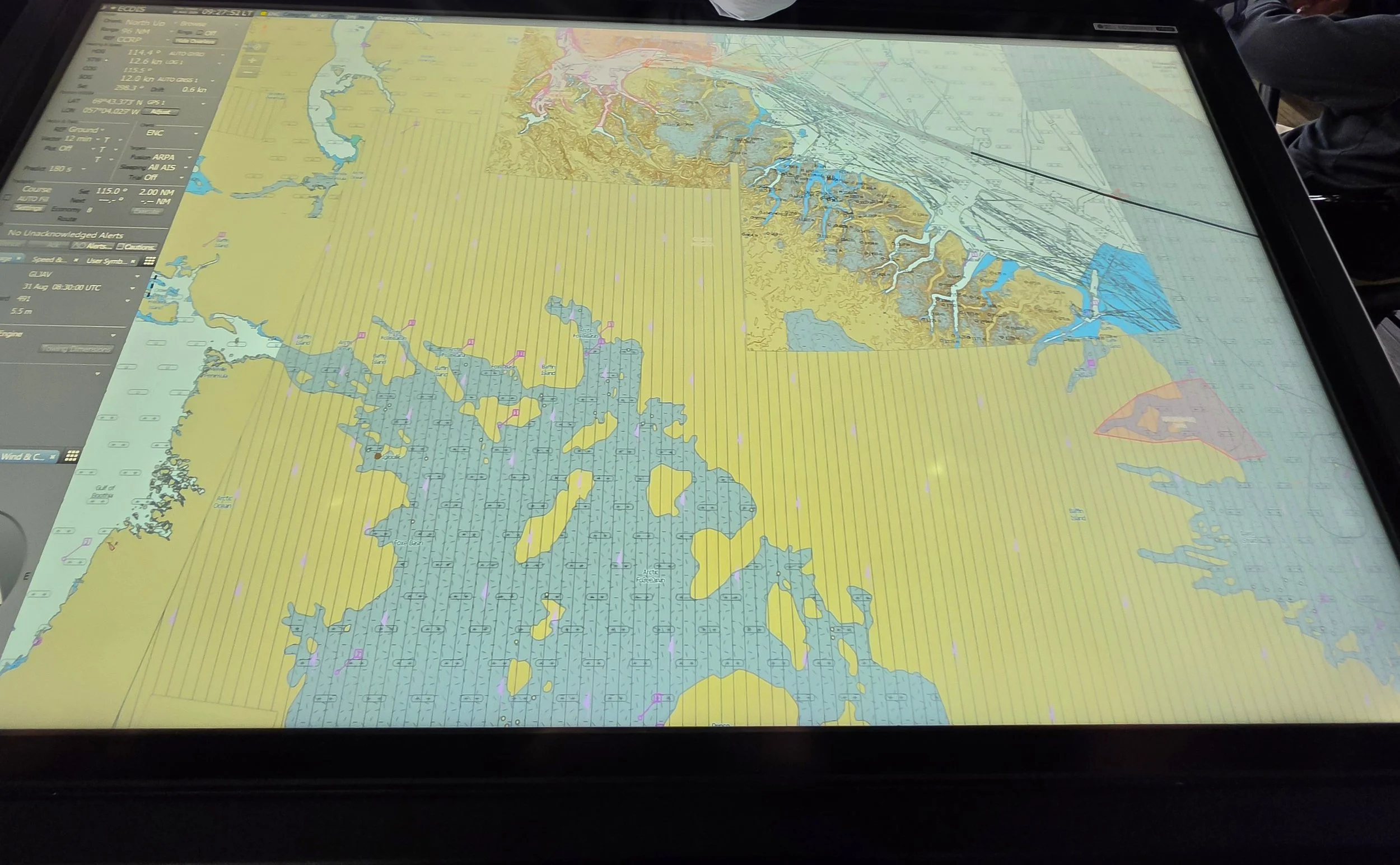
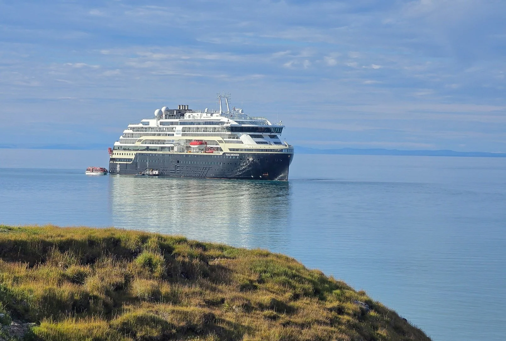
A group of us got to have a tour of the bridge today - that was really cool! Boy does the captain have the best view! (Okay, and the most pressure, keeping us all safe and getting us to the next port.) It was fun seeing how modern all the ship systems are. This ship was the first battery-hybrid ship to ever transit the full Northwest Passage, in 2019. The ship was built in Norway, is 459 feet/140 meters long, has a beam of 77 feet/24 meters, and weighs 20,889 gross tons. The ship will hold up to 530 guests but on the longer trips to arctic areas, HX won’t take as many passengers. On our trip, there are just over 300.
The ship is designed for arctic and antarctic waters. It isn’t an ice breaker but it’s designed to be able to push through ice of up to about 4 feet thick. Its max speed is 15 knots.
The ship produces its own water (from sea water), and avoids single-use plastics as much as possible. They even issued us really nice reusable water bottles to keep, and there are water stations all over the ship to fill them from. Heat generated from the ship’s engines is used to heat the ship’s interior and also the water onboard. The ship doesn’t drop a traditional anchor. To protect the fragile marine environments we stop in, it uses its thrusters to keep us in place. The focus that HX has on protecting the environment is one of the reasons I chose them to travel with.
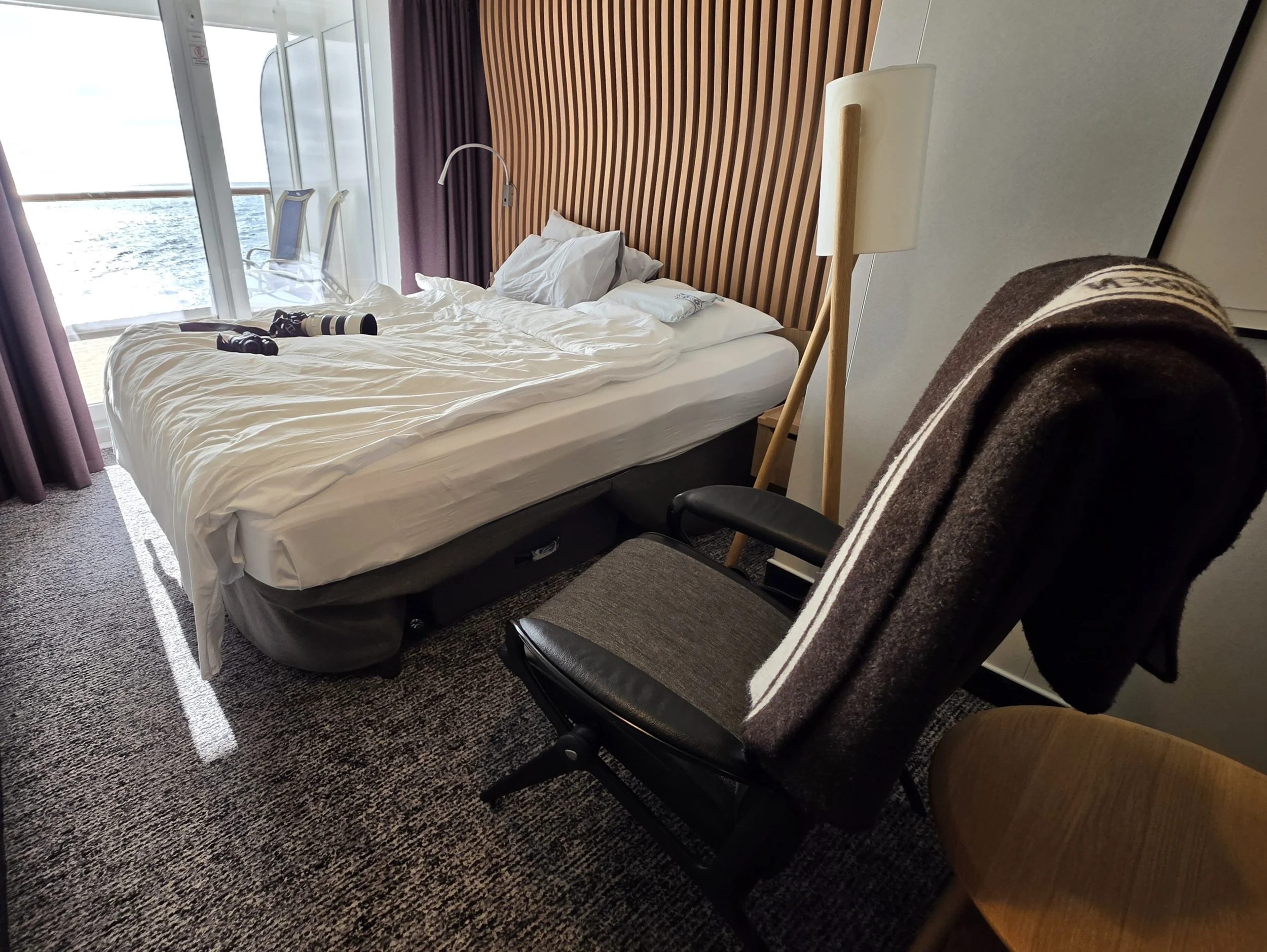
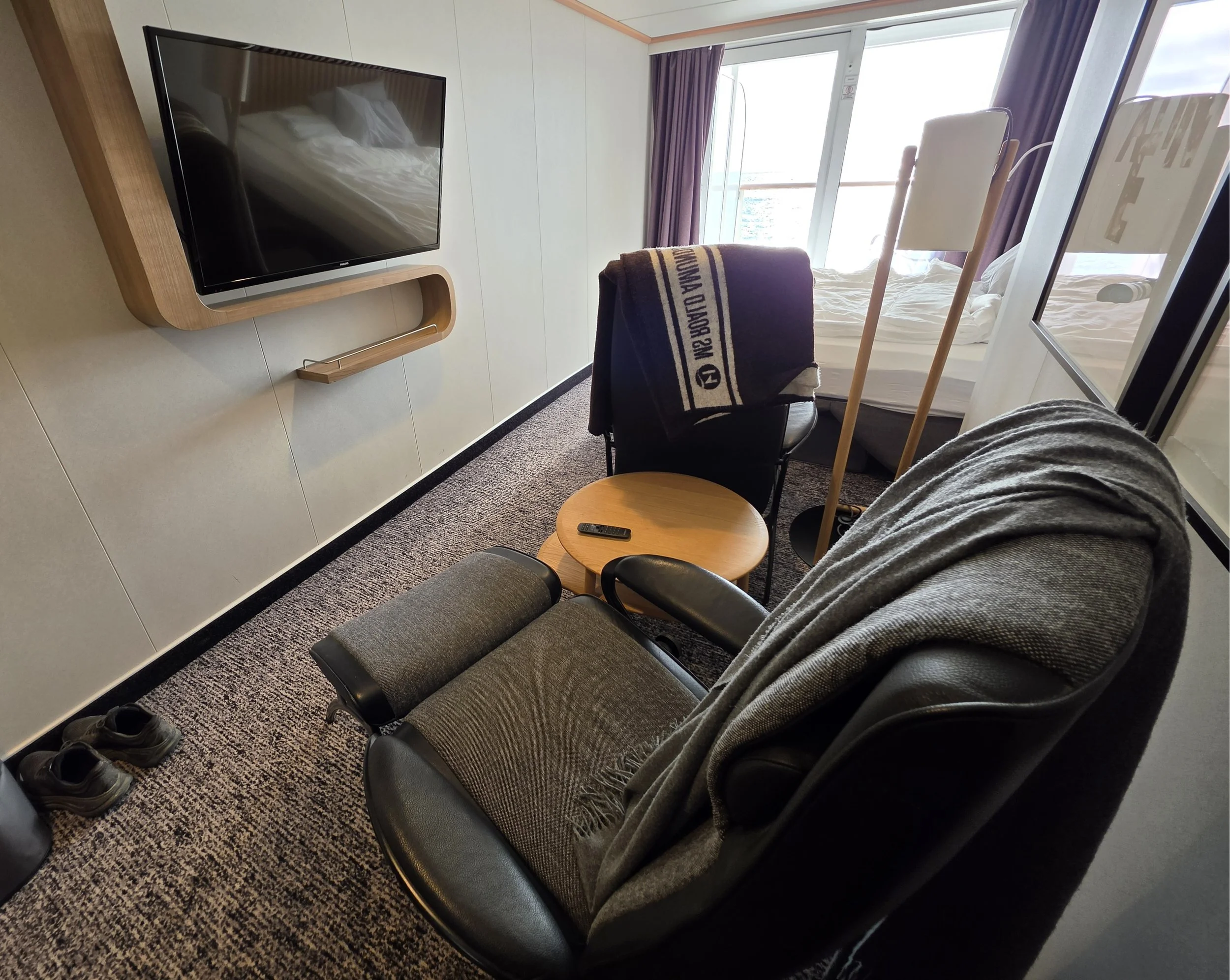
I’ve re-arranged my cabin a bit and I’m posting some photos of my “lived in” cabin set-up. I have one chair facing the sliding glass doors so I can sit there to see out. I have the other chair facing the television so I can watch recorded lectures that I missed going to in person or that I want to watch live from my cabin rather than attending in the lecture room. My camera and binoculars pretty much live on the bed when I’m not carrying them during the day. That way, I can grab them in a hurry if there’s something to see from the balcony.
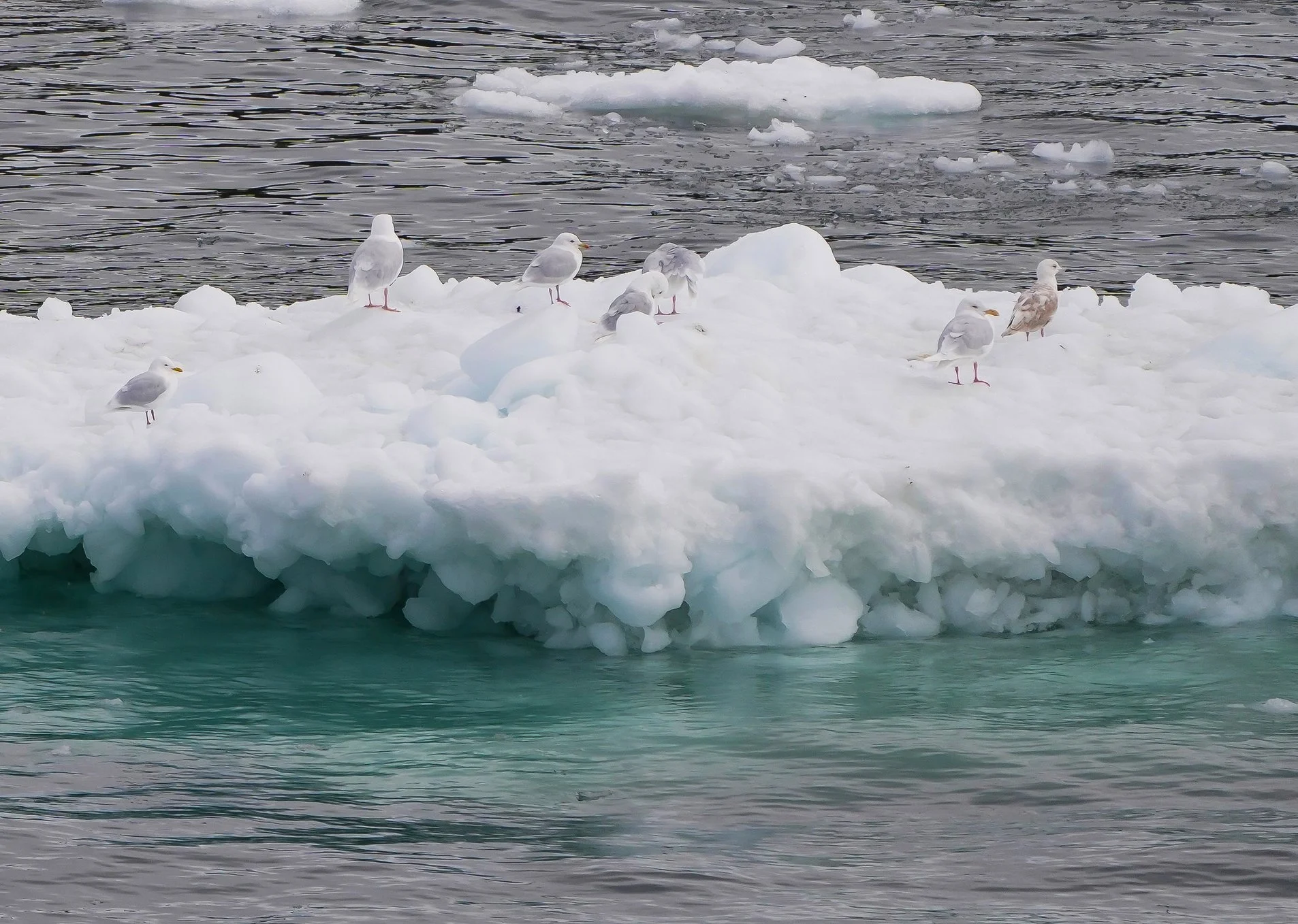
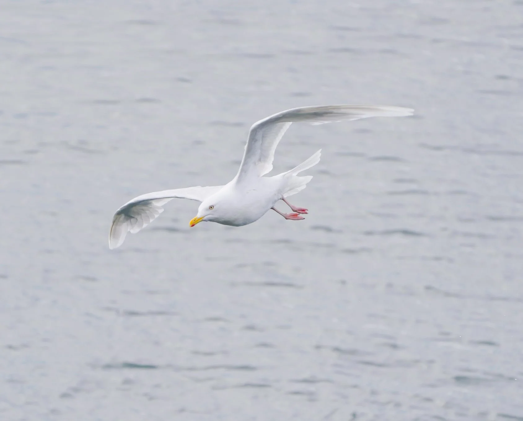
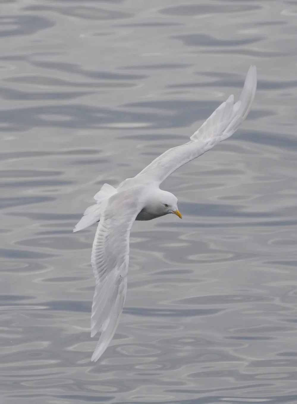
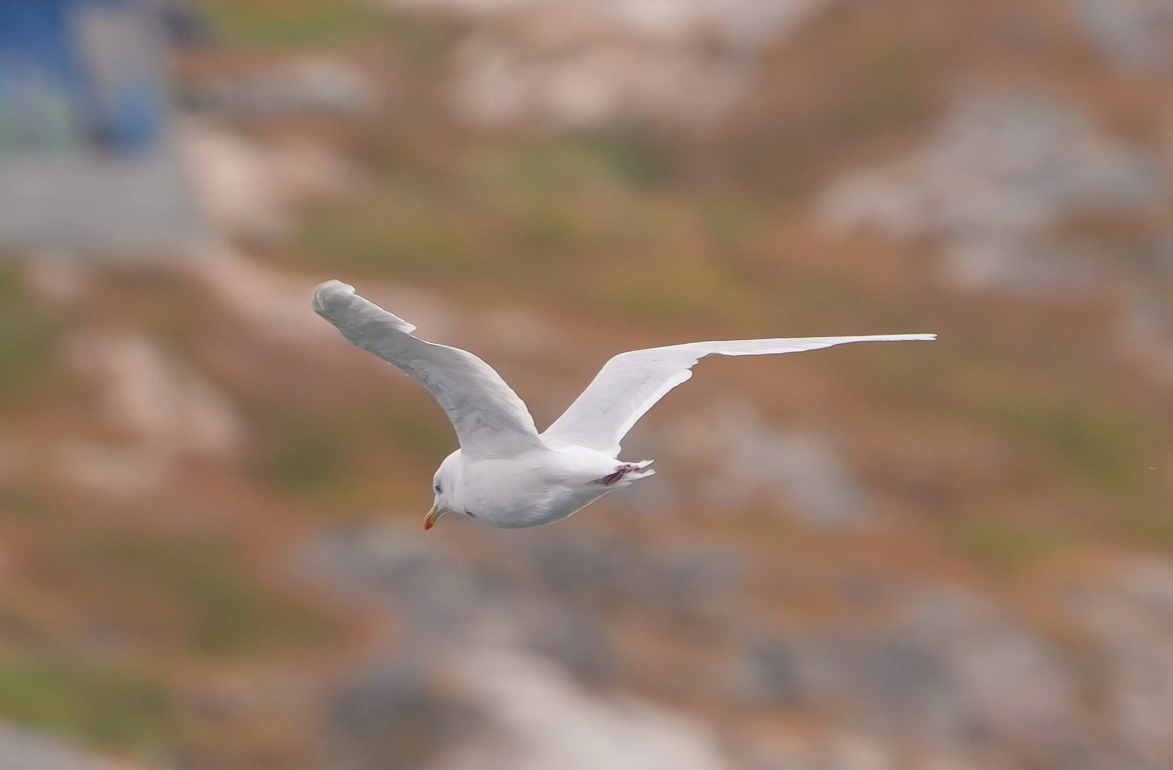
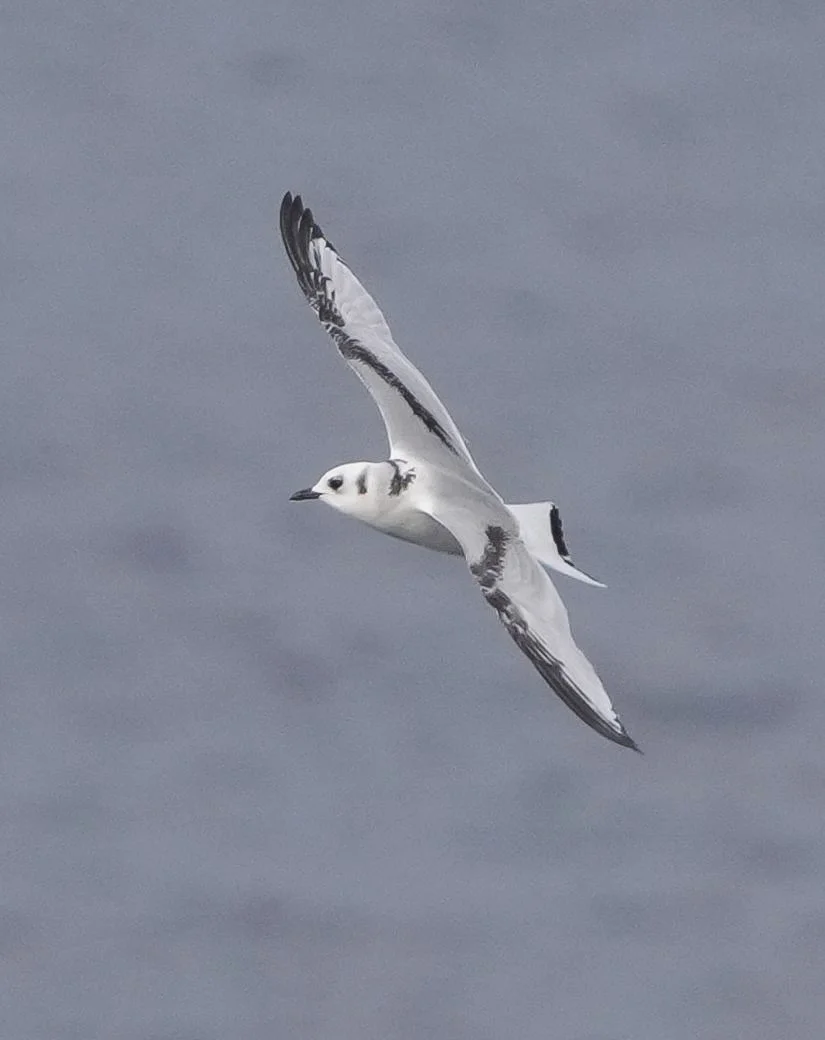
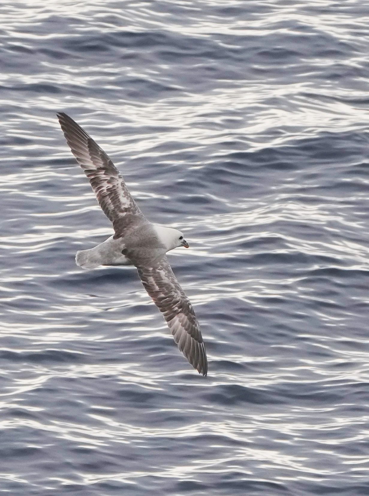
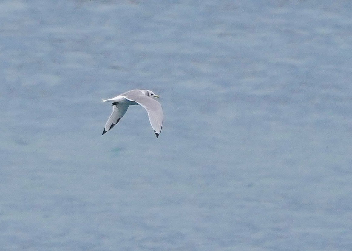
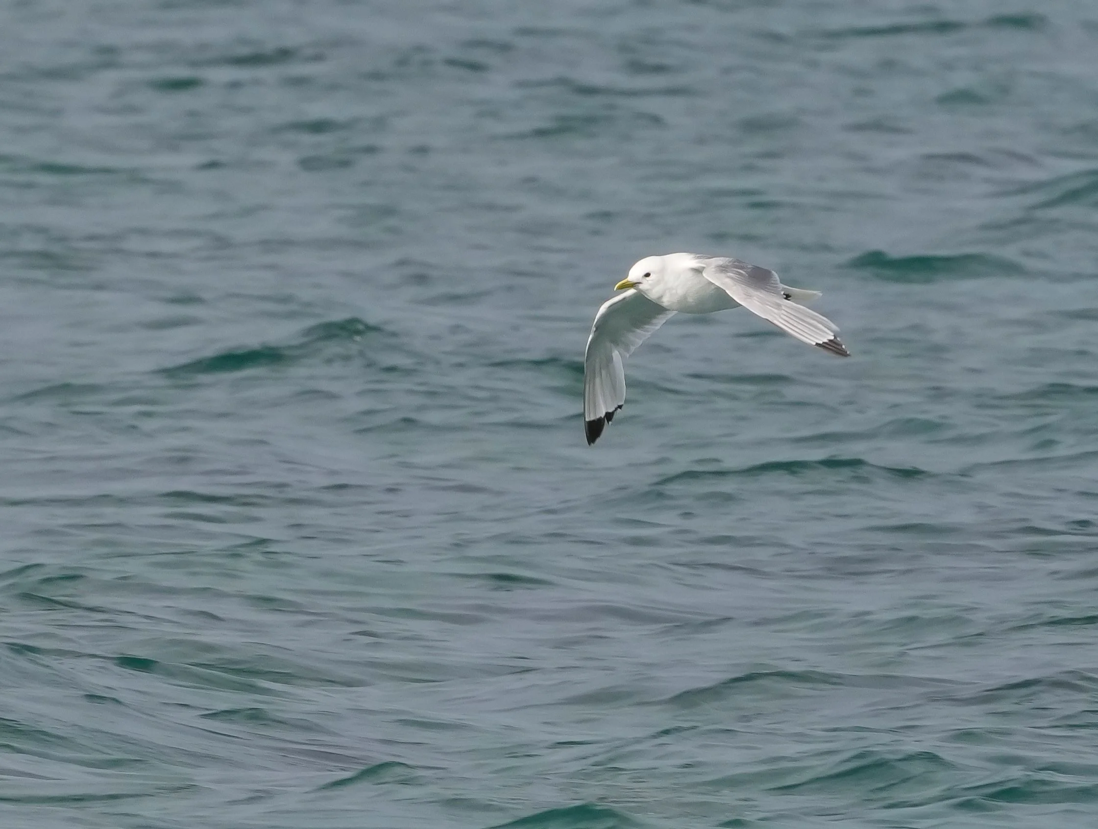
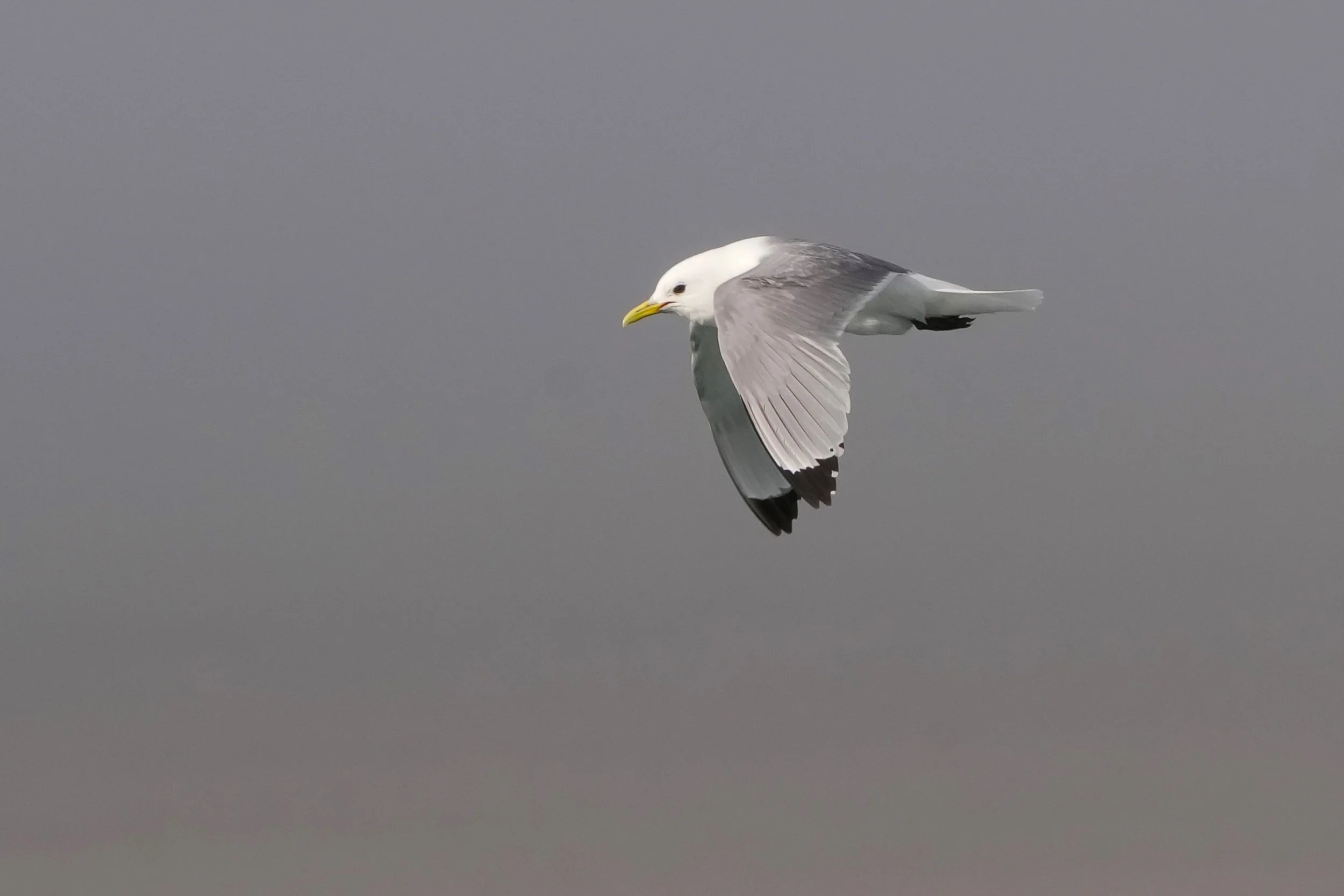
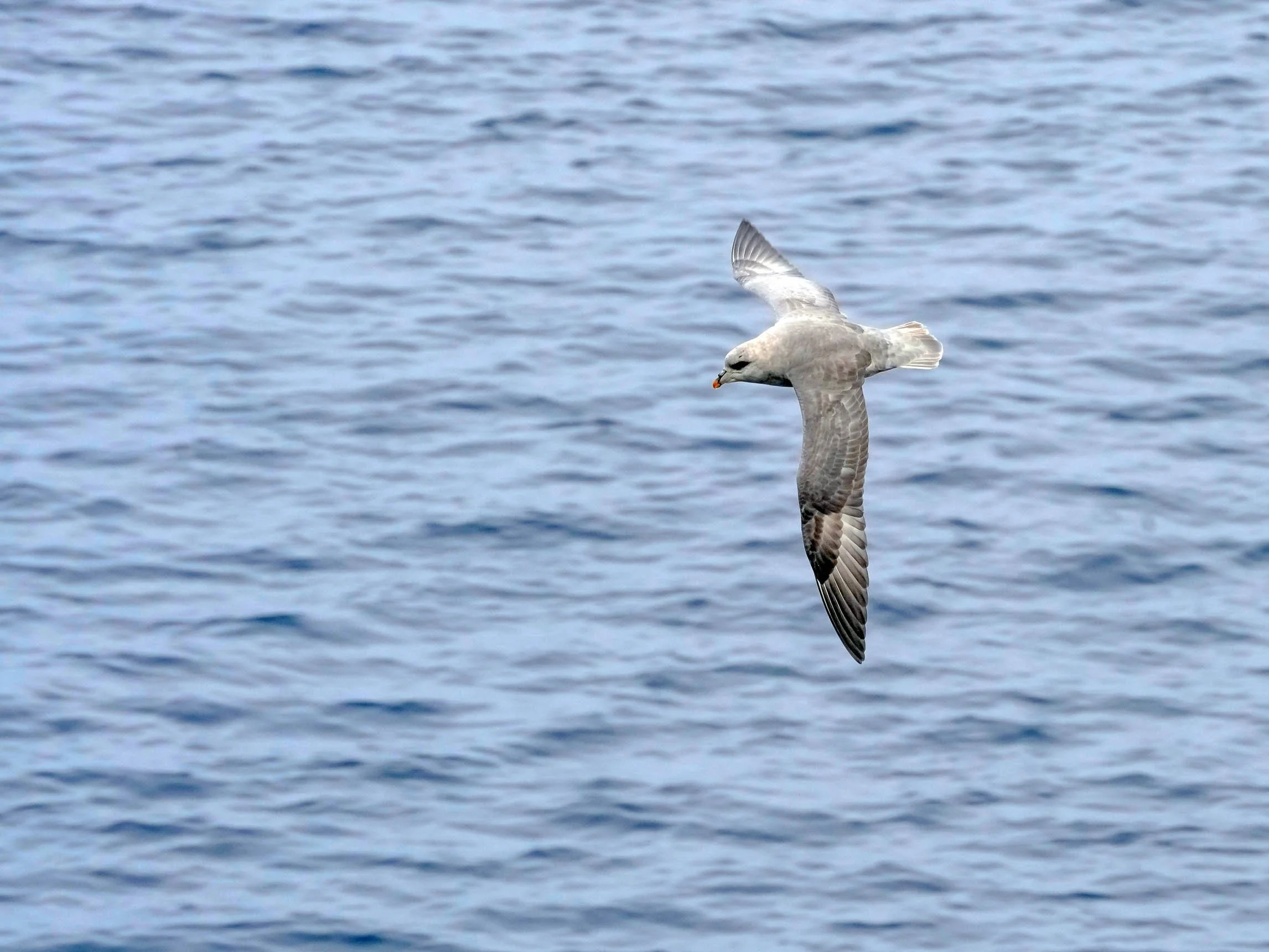
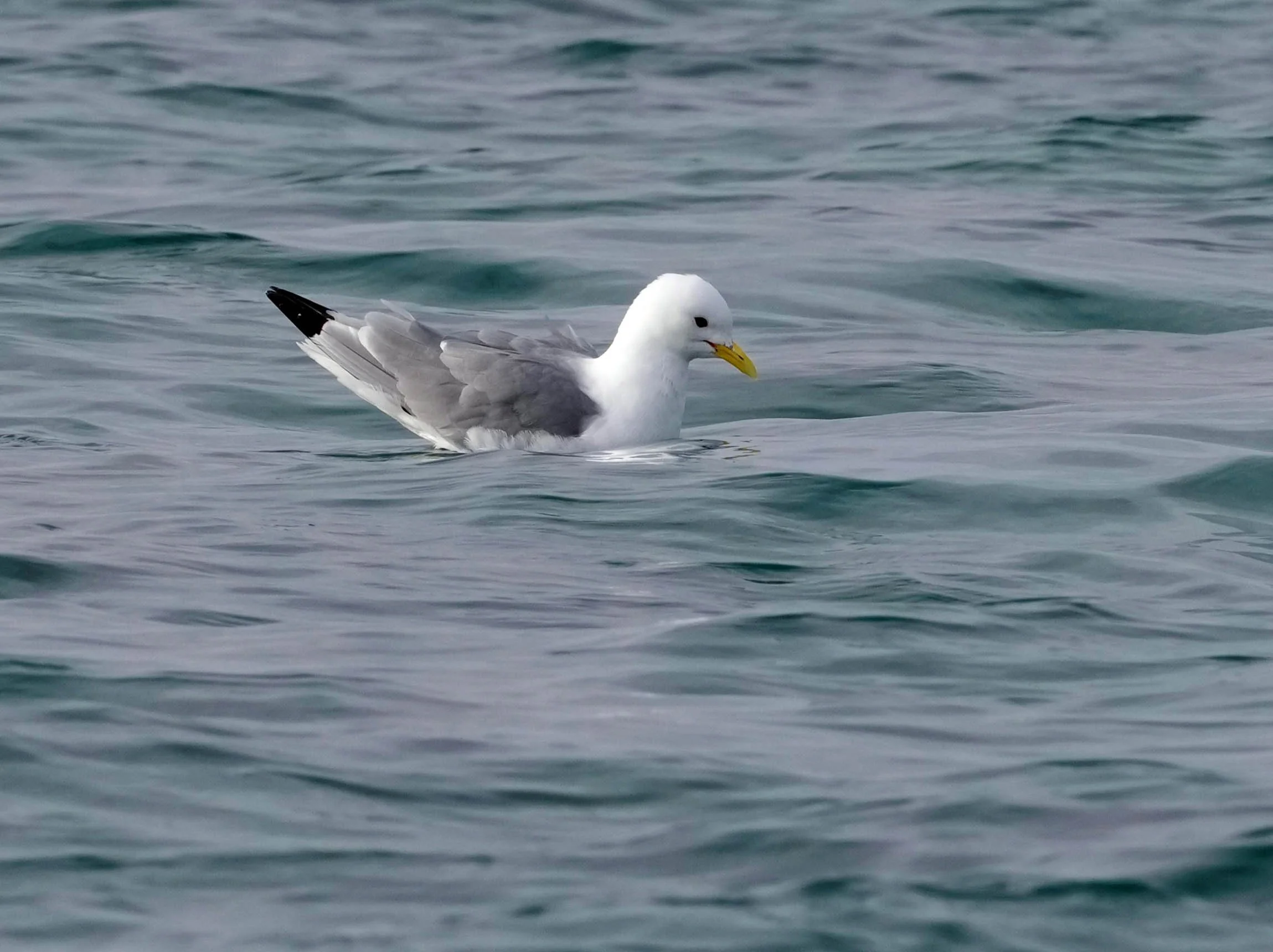
Today’s a red-letter day for me from a photography standpoint: After 3 years of messing it up, I finally figured out how to use my camera’s focus tracking system! As a result, I’m posting more Northern Fulmar and Black-legged Kittiwake pictures! I’ve been practicing using focus tracking to take their pictures all afternoon. I was grateful to them for repeatedly flying by the ship so I could learn from my many mistakes until I got it right!
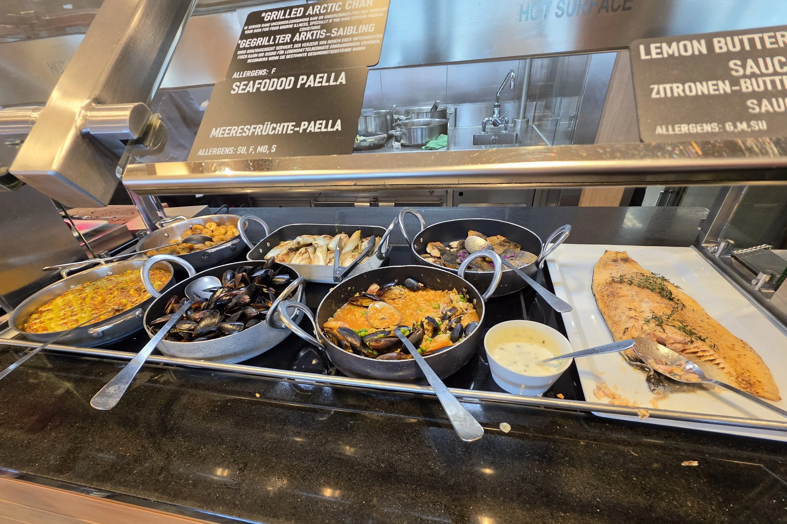
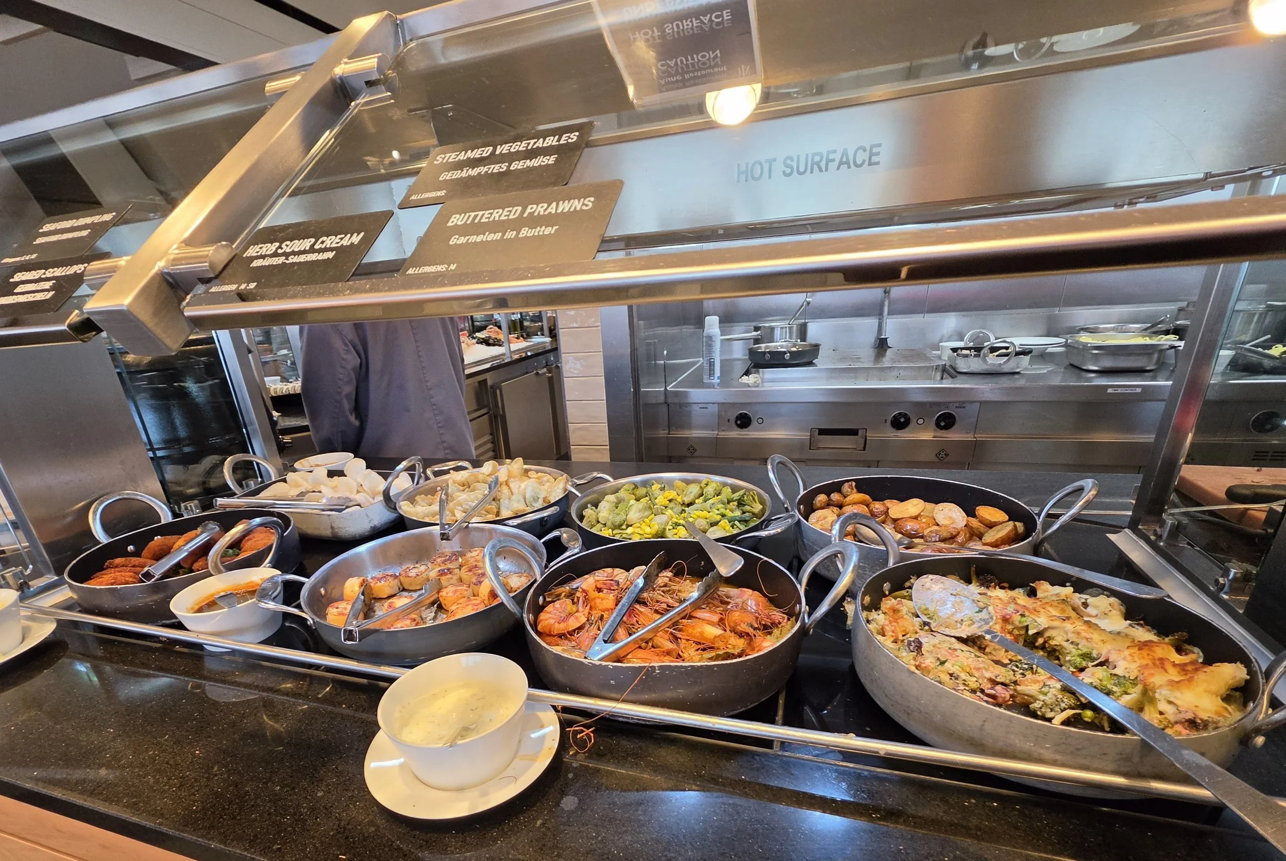
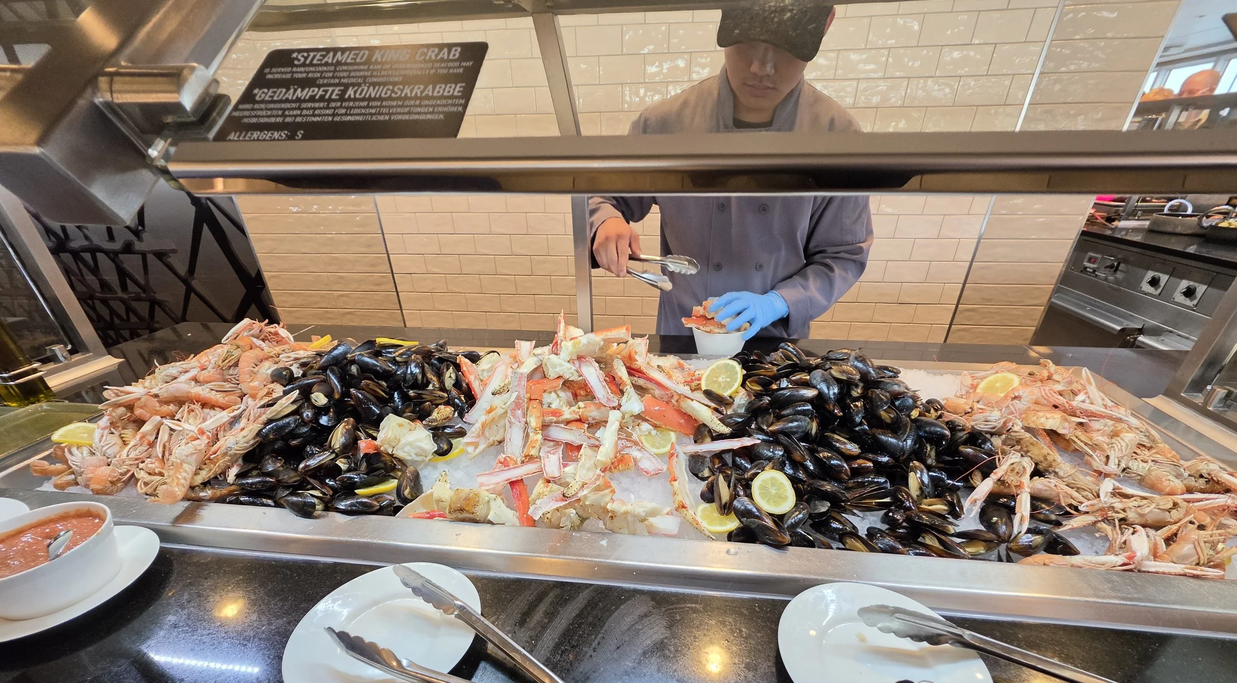
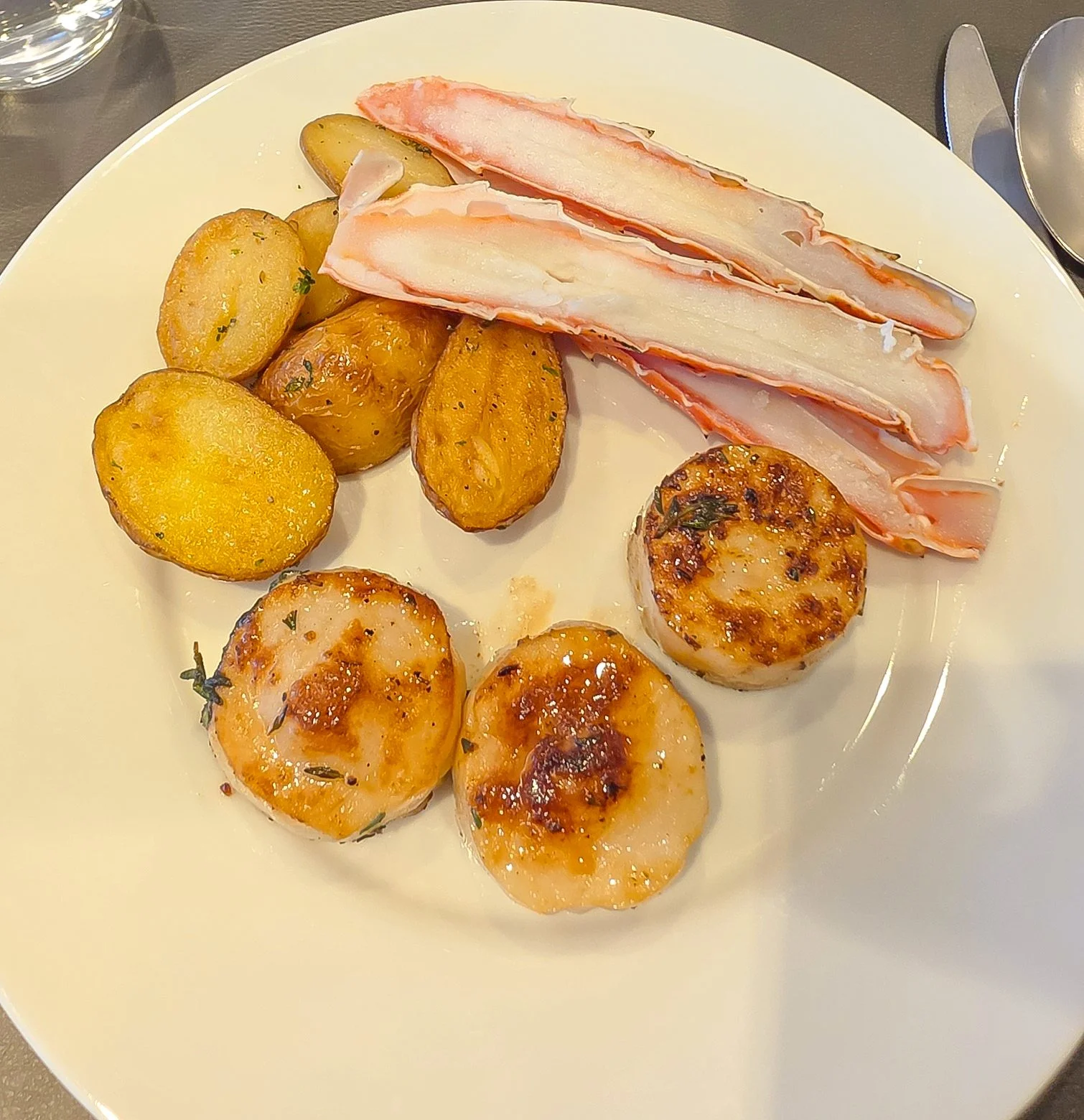
Tonight is the much-anticipated seafood buffet, so I’m heading down to dinner shortly. After that, there’s an auction to raise funds for the HX Foundation. This charity targets its funding toward plastic waste reduction, wildlife conservation, and supporting local communities.
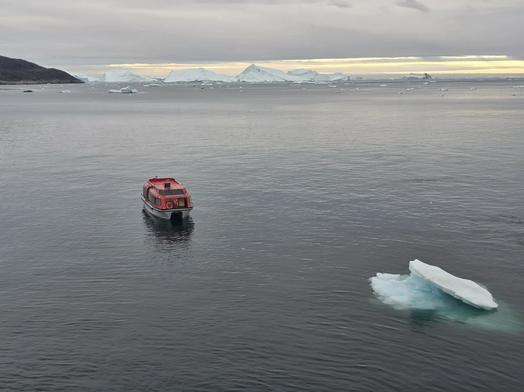
Late note: I went out on the deck after dinner tonight and you can definitely tell we have arrived in Greenland! There are beautiful icebergs in the distance, with more ahead of us!
Thought from the bridge today: “There are more airplanes at the bottom of the sea than there are ships in the sky.” LOL!










The Northwest Passage - Day 18
Pond Inlet
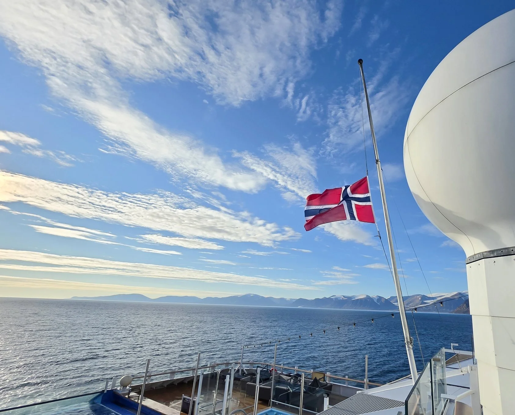
Our day started with the very sad news about the death of King Harald V of Norway. The ship and many crew members are Norwegian, and King Harald was a beloved king, so his death hit many people very hard. The Captain made a very touching announcement and asked for 2 minutes of silence throughout the ship. The ship’s Norway flag was lowered to half-mast. At the end of today’s post, I’ll share more information about Kind Harald that we learned at the last lecture of the day.
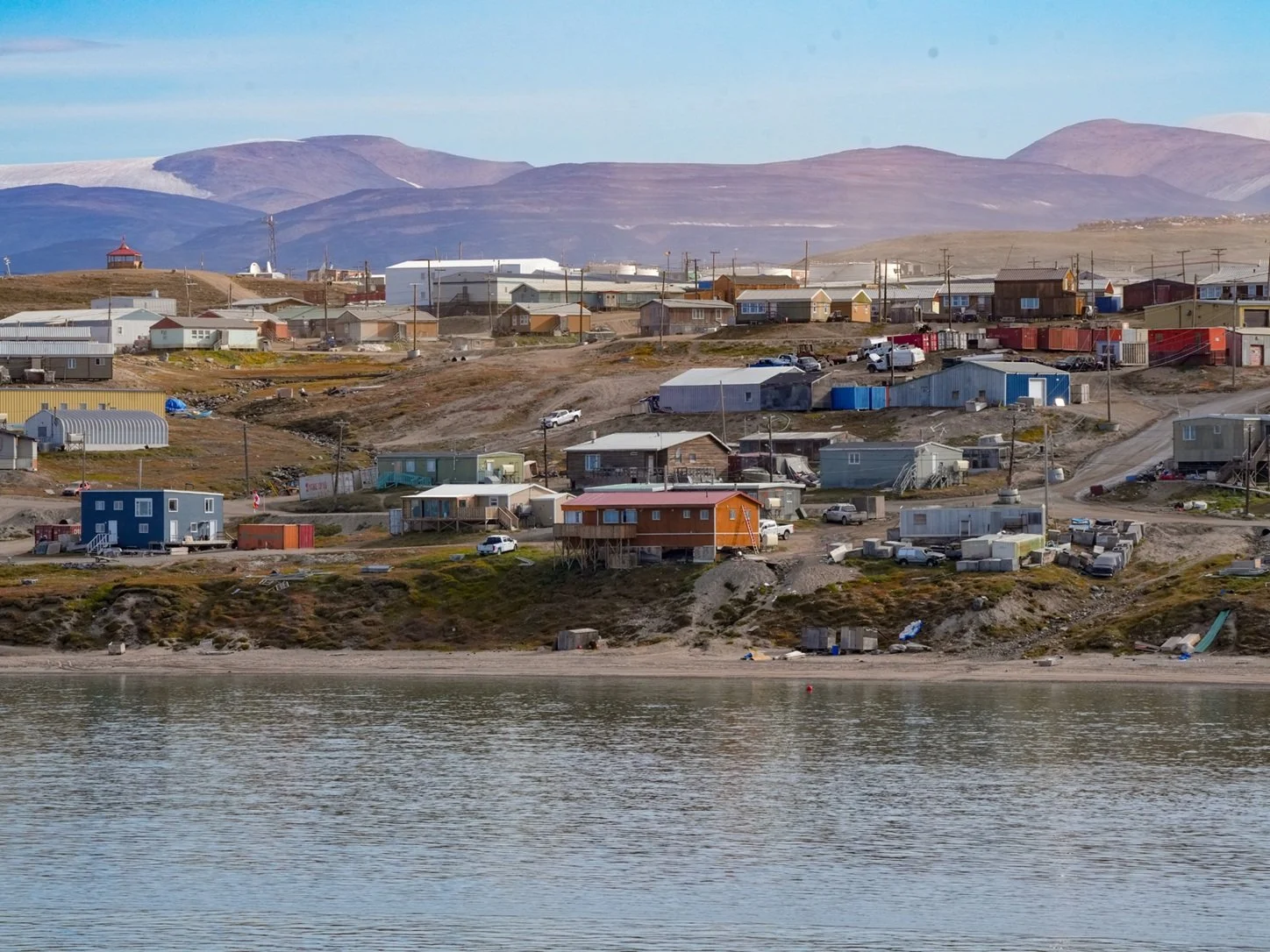
Our stop for the day was at Pond Inlet. This hamlet is at the northern tip of Baffin Island. Our morning was spent passing through part of Baffin Bay to reach a fjord. We travelled up the fjord to get to Pond Inlet. There’s a more direct route but it’s through Eclipse Sound where Narwhal breed so the ships try to avoid going through there. I was hoping we’d get to see Narwhal in the fjord, but no luck. However, we did see a pod of Orcas, traveling too far off for good photos but close enough to enjoy watching through binoculars.
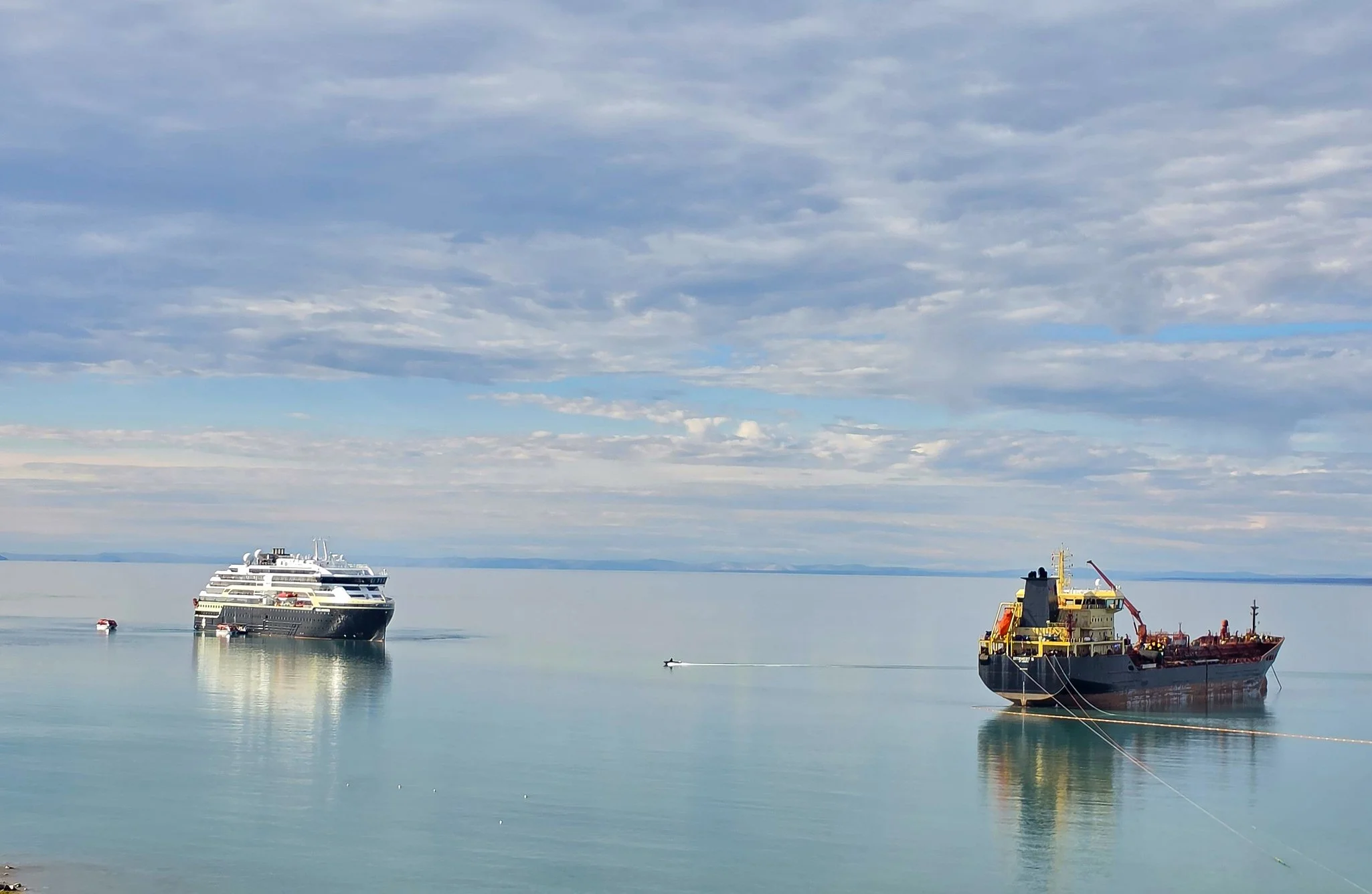
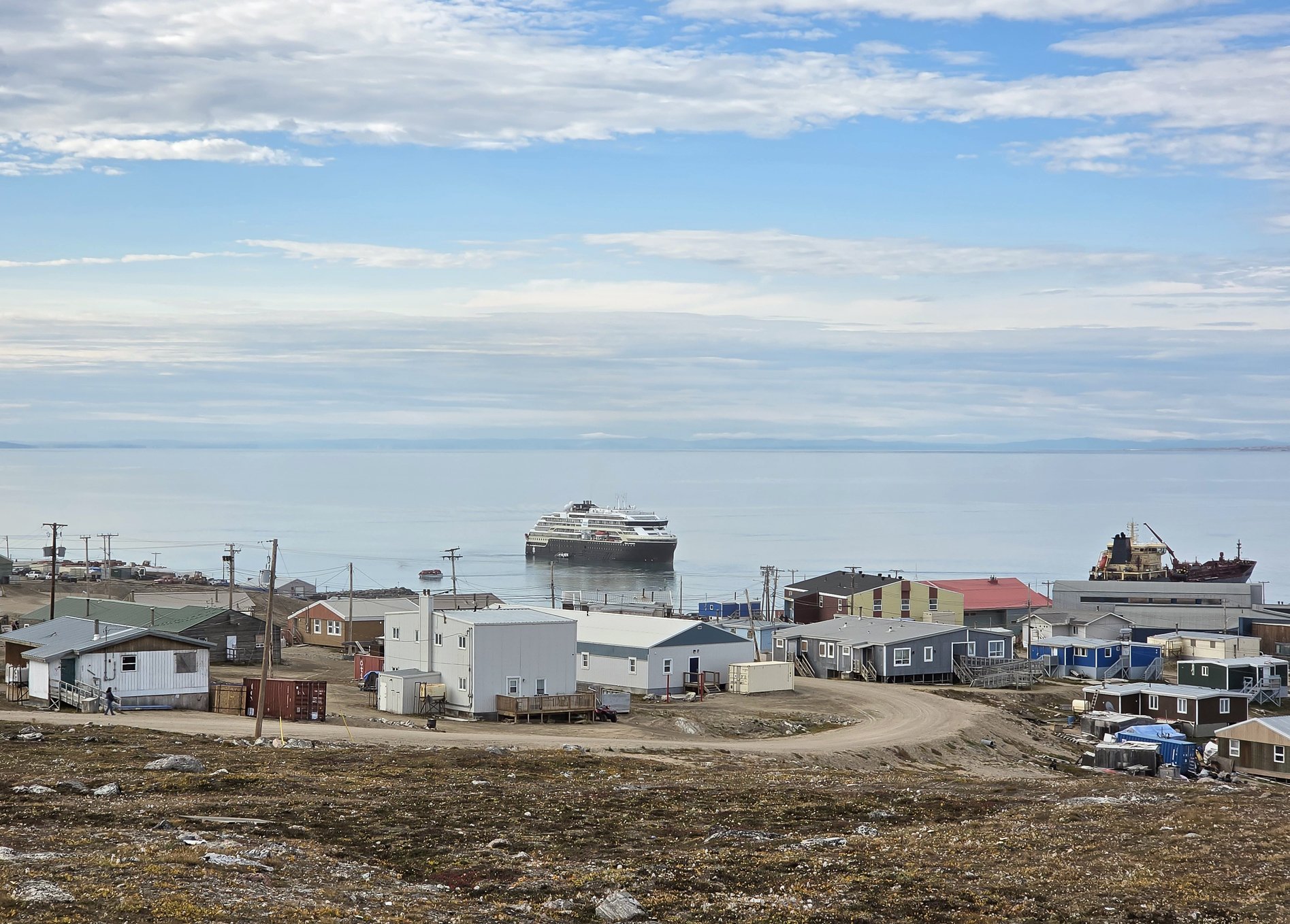
We arrived in Pond Inlet late morning. I could tell when we were getting close because we began to see other boats, including small private boats, which we haven’t seen since Nome. Pond Inlet is at the eastern entrance to the Northwest Passage. It has about 1600 residents.
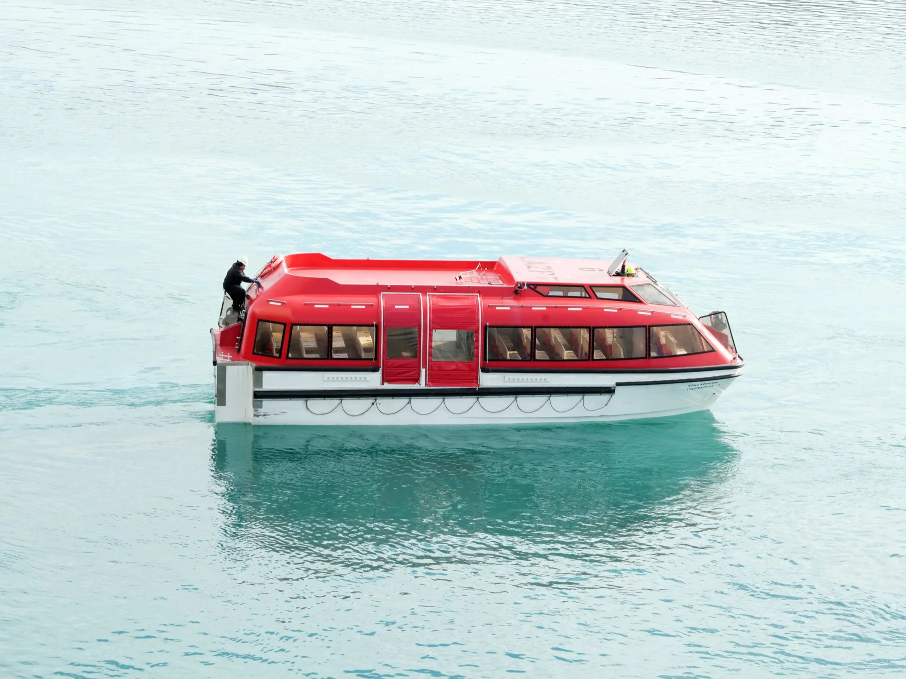
Because Pond Inlet has a pier, we got to take tenders to shore! The tenders are small, closed-in boats rather than open Zodiacs. The tenders are also the ships’ lifeboats. The best thing about using the tenders for a shore visit is that we can wear our own shoes!!! And we don’t have to wear waterproof gear. This worked out great today because we walked a looong way, and because it was a gloriously sunny day. I shed both of my jackets before the first stop on our walking tour and just walked around in my thermal top and jeans. Nice change after many days of wearing at least 4 layers!
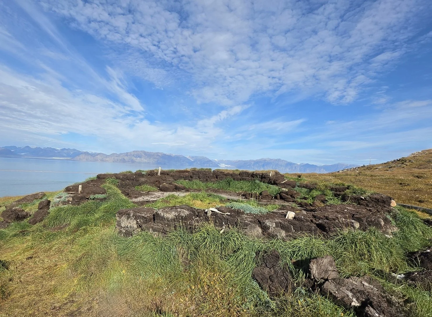
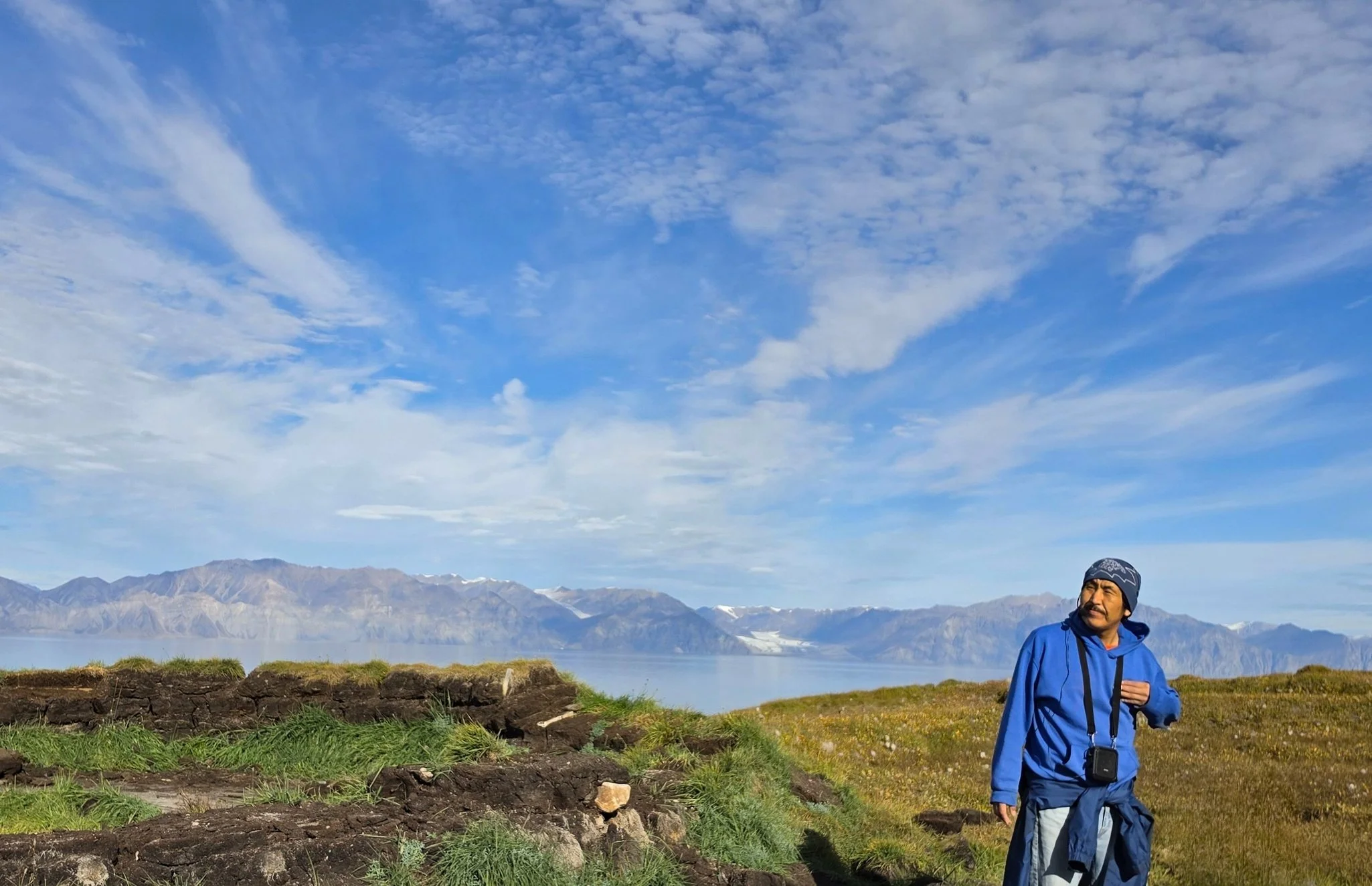
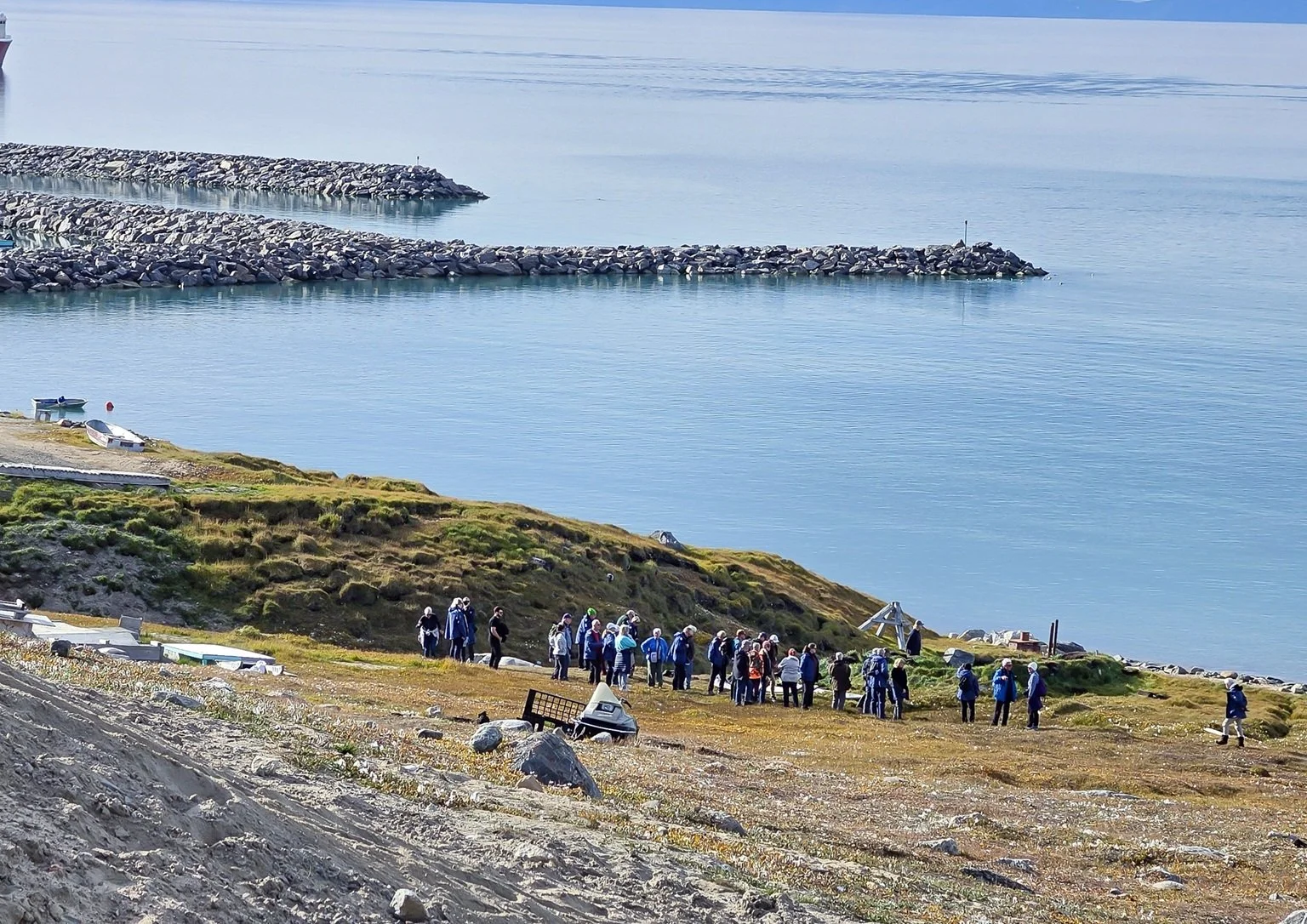
On our walking tour, we visited a traditional sod house like the Inuit would have used for winter stays. Cubes of sod had been stacked to raise walls about 3 feet high. Then whale bones were used to make ribbing for the upper walls and roof. Animal skins were fastened to the whale bones, resulting in a warm shelter. These homes were often used by 10+ family members.
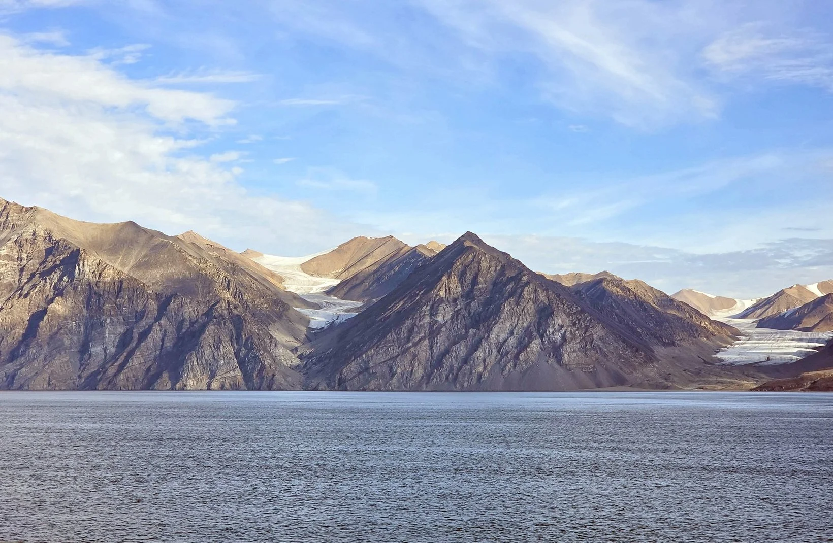
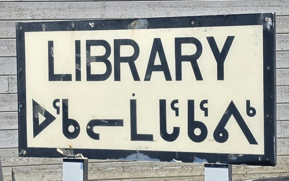
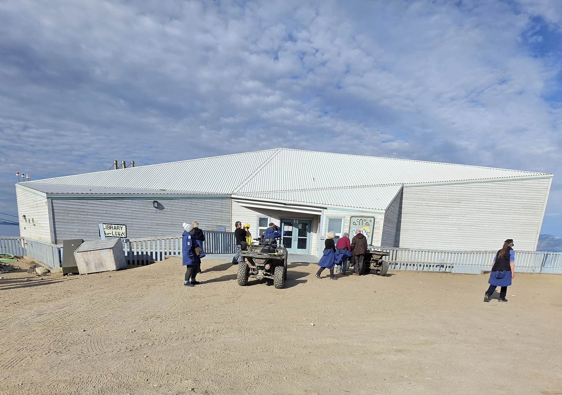
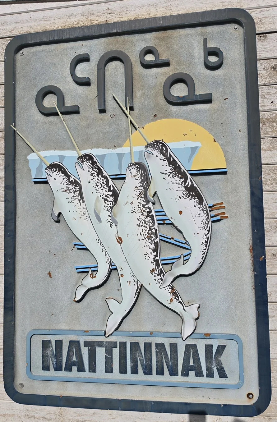
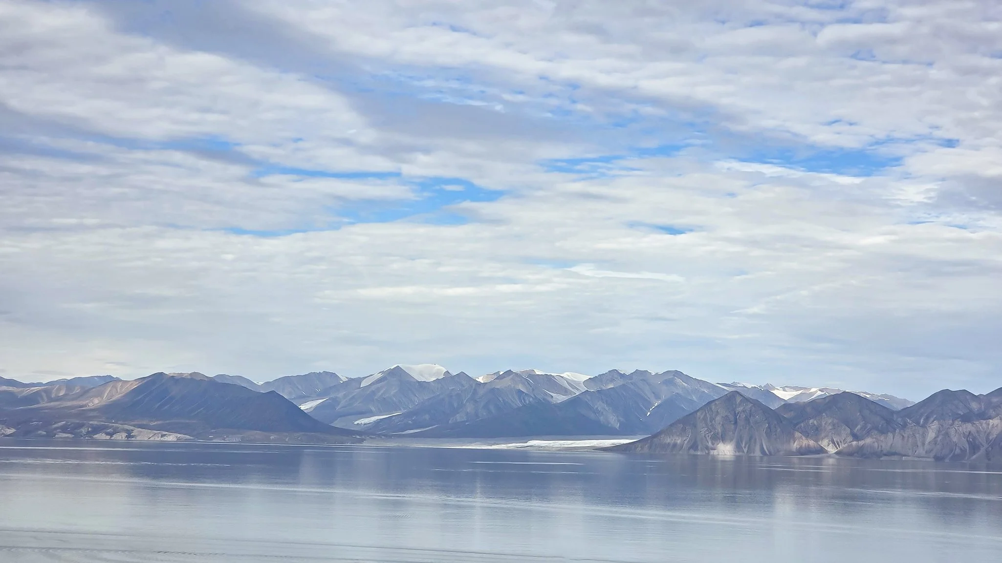
The next stop was the town visitor’s center, which is in the library. The building is designed in the shape of an iceberg. It – and many buildings in town – has the most incredible view across the sound to Bylot Island. The view is a panoramic vista of glacier-studded mountains. Absolutely breathtaking! From its location, I can see why Pond Inlet is called the Jewel of the North.
There is said to be a lot of wildlife in the area but not in town where we were. I’d been hoping to see birds but only saw one goose flying by, some fulmars and Kittiwakes. And likely some Larkspurs (they fly fast! I haven’t gotten a good look yet!). Some excursions were offered further afield, including an ATV trip out into more remote areas. I’ve seen photos from someone who did that trip and they found lemmings up in the meadows they visited!
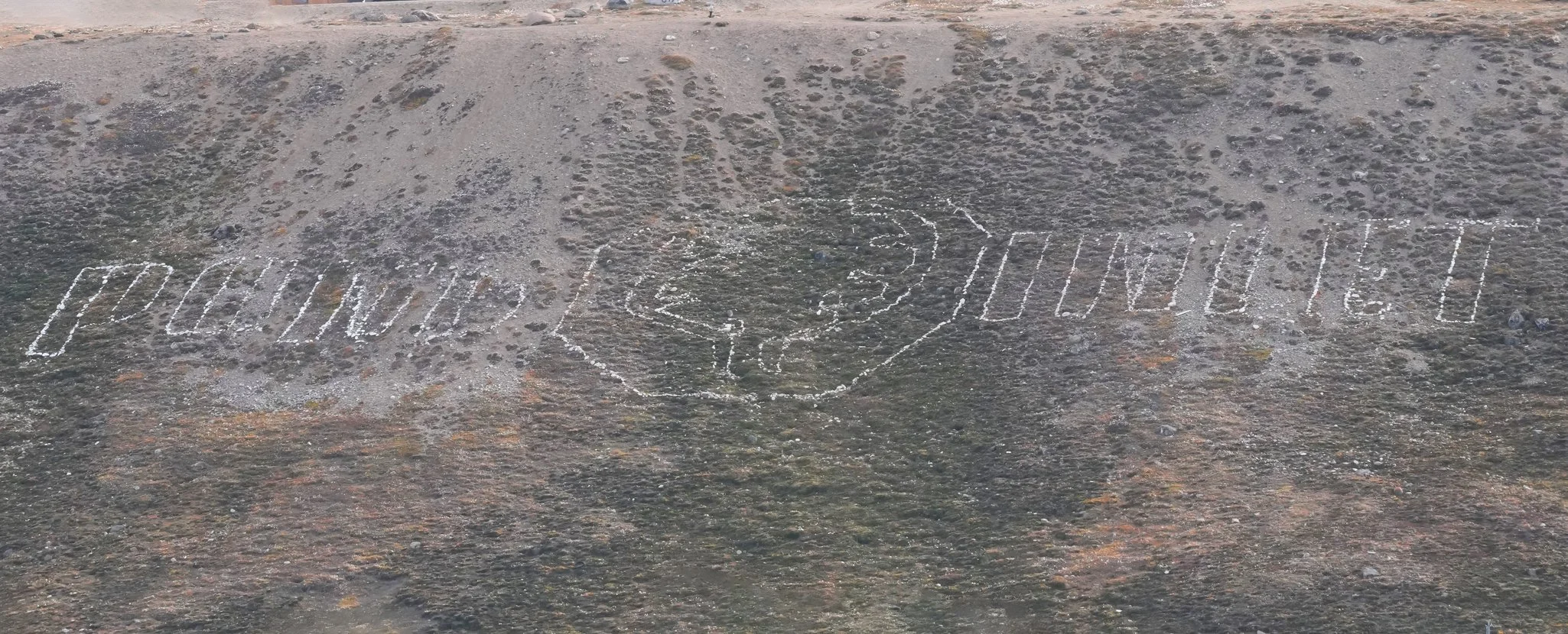
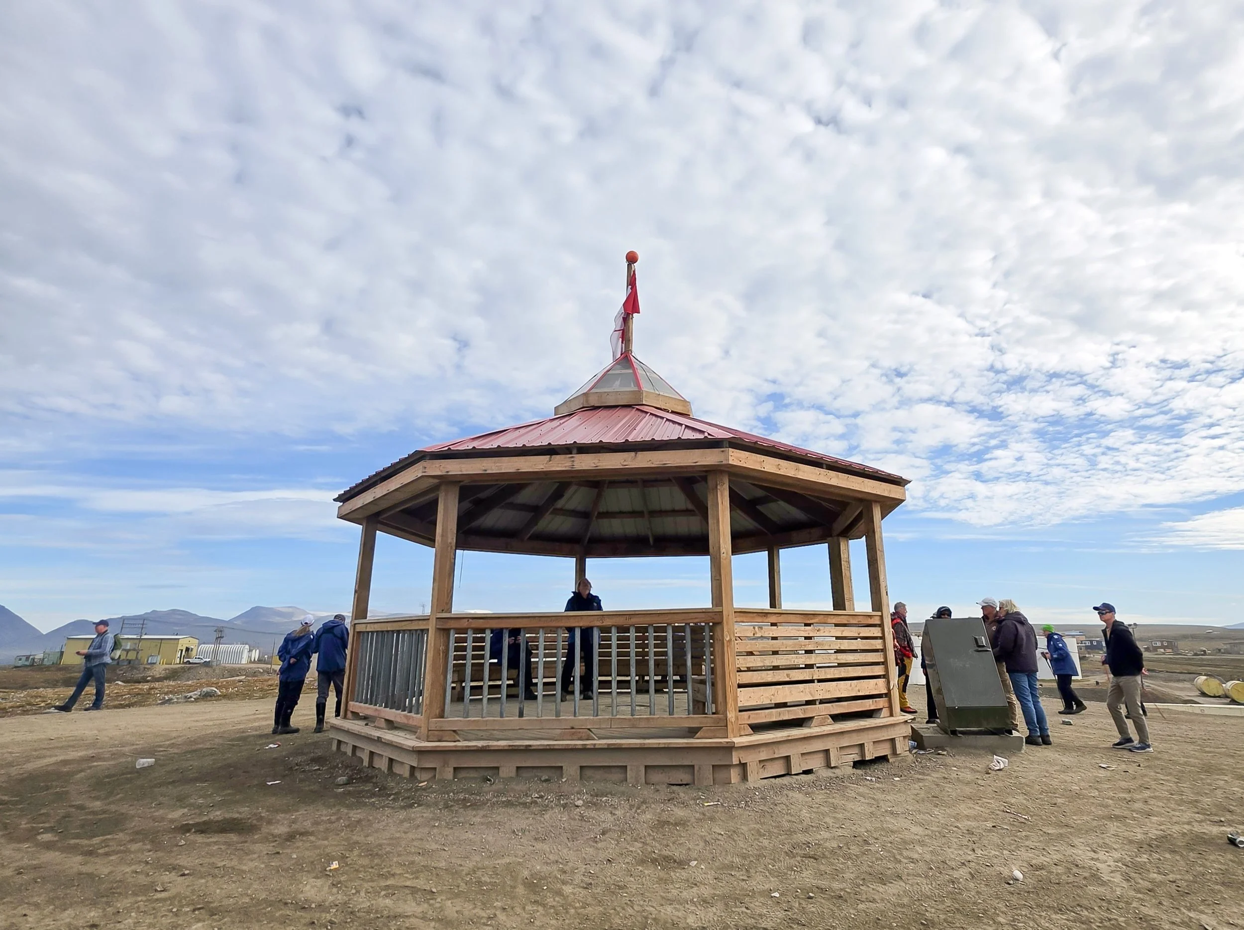
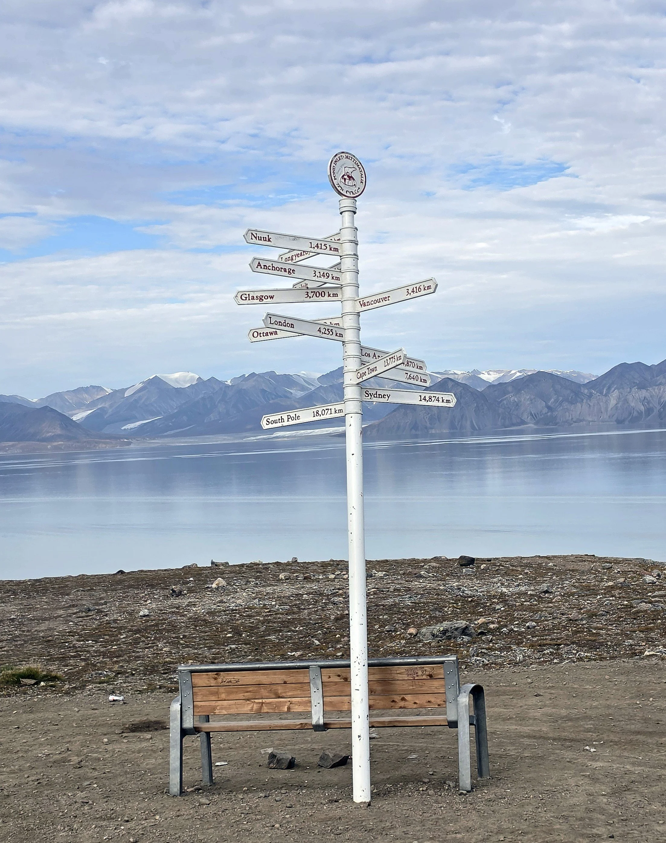
Pond Inlet built a gazebo in 2025 on a hill above the town called Contemplation Hill. We hiked up to the gazebo to enjoy the view. There’s a signpost there with signs showing the distance to numerous locations. Since my small home town wasn’t listed, I looked it up: As the seagull flies, it’s 3,036 miles/4,886 km from Pond Inlet, Nunavut to Mount Dora, Florida! 😊
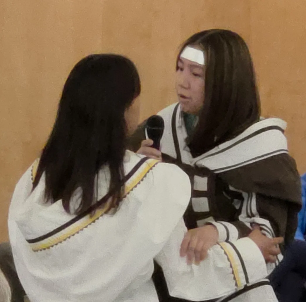
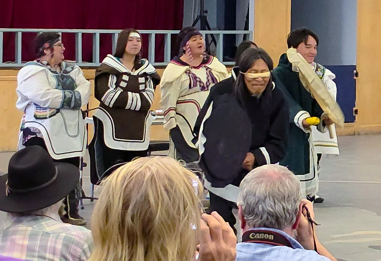
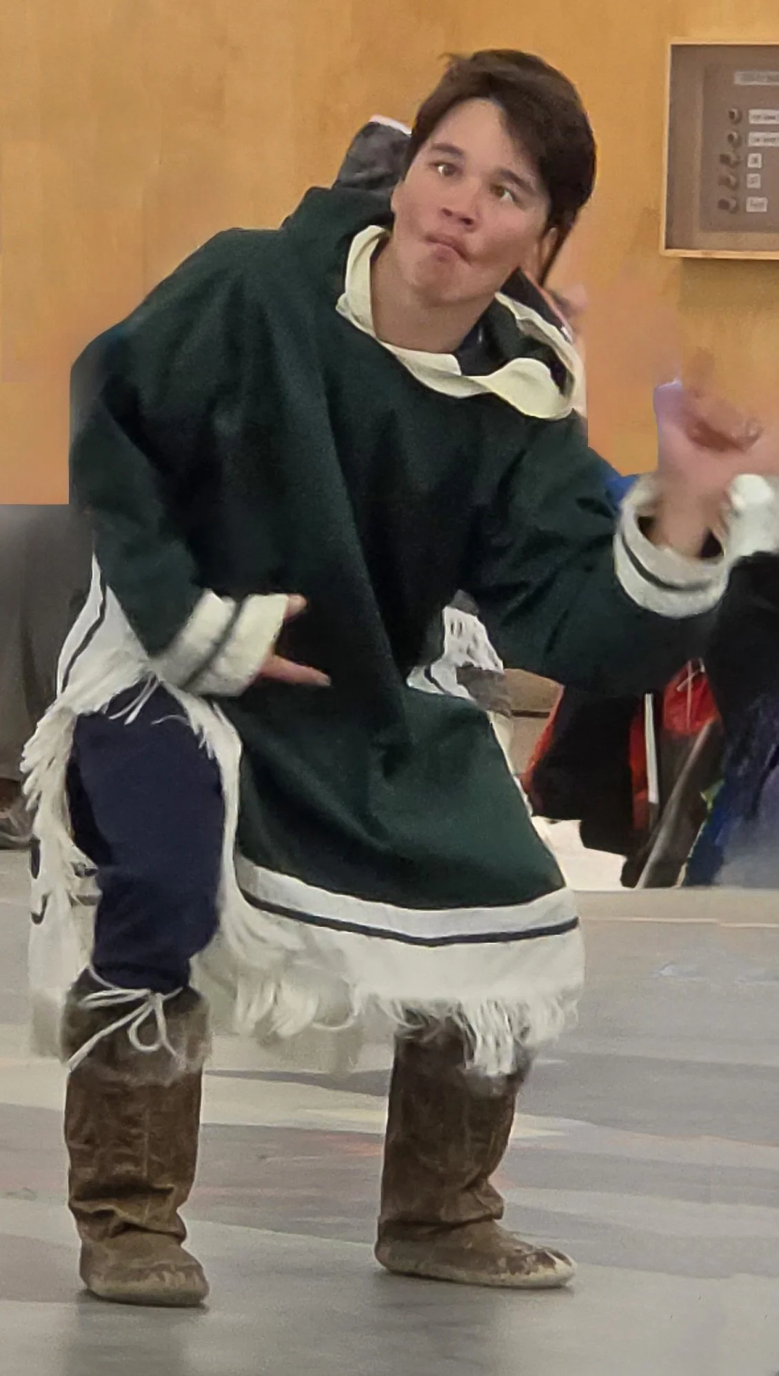
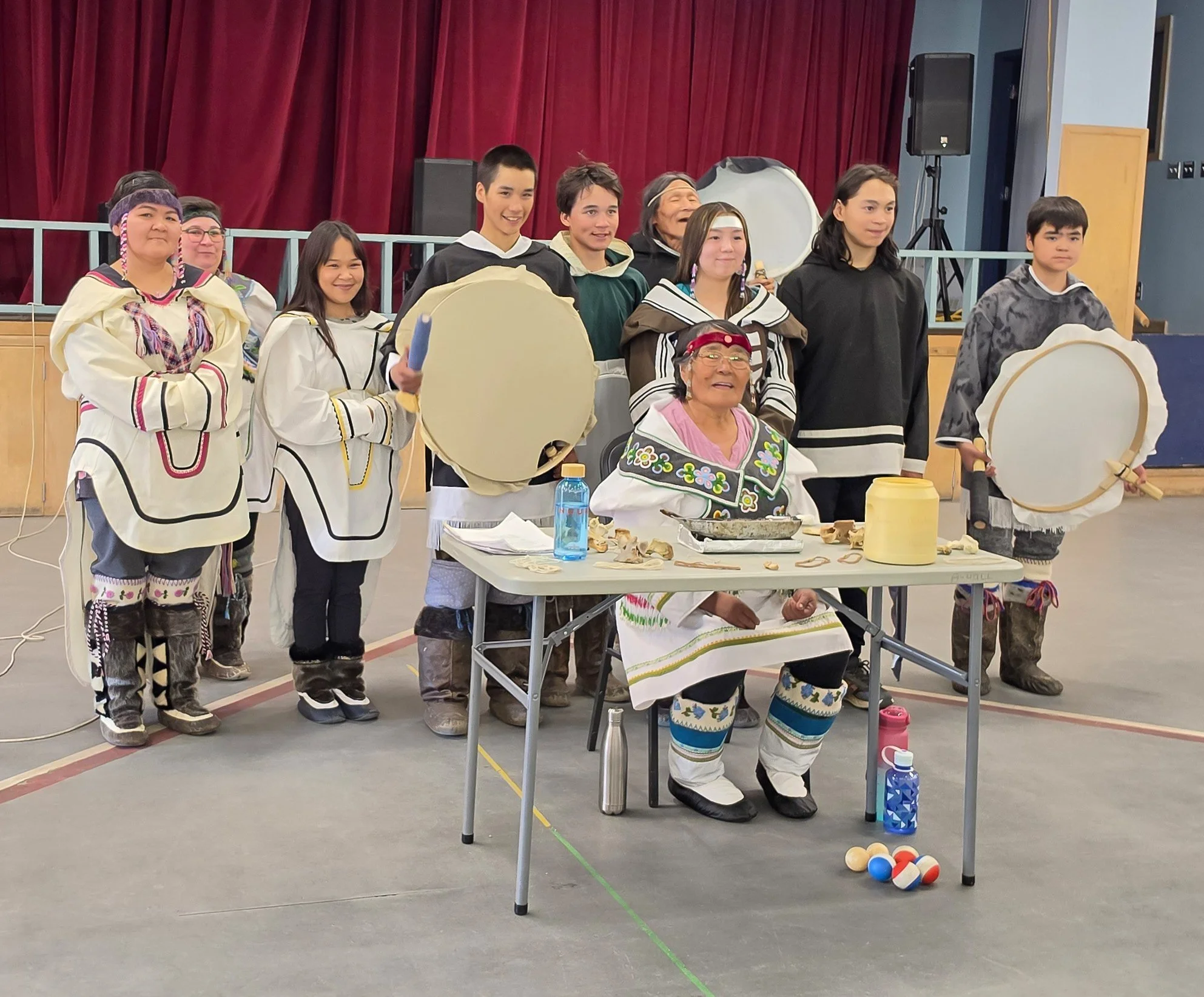
From the gazebo, we hiked down to the community hall where we were treated to cultural performances by very talented Pond Inlet residents. We got to hear O Canada sung in a blend of English and Inuktitut, which was beautiful. The performances included drum dancing, singing by elders, throat singing, and some traditional Inuit athletic games including high kicks, seal hops, ear pulling, finger pulling, and mouth pulling (ouch!).
The athletic games were typically done by Inuit men but in current-day competitions, women compete, too. Inuit women developed their own games while men were away on hunts, which is believed to be the origin of throat singing. At Pond Inlet, they also showed us a game where two women faced each other and breathed in and out quickly for as long as they could. The first one to laugh or give in lost the game. These traditional games built strength, survival skills, and community bonds. I love that so many of the games end when someone laughs. It seems like laughter, fun, and close ties to one another are all an integral part of Inuit culture. I think we’d have a much happier world if all cultures valued these traits as much as the Inuit do!
We’ve seen some fantastic cultural performances during our community visits. It would be hard to choose a favorite because they were all such special experiences, but if I had to pick a favorite, it would be the one we enjoyed at Pond Inlet.
After the performances, we walked (thankfully downhill) back to the ship. A very large contingent went into the local grocery store. As we’ve been asked to not buy out the local stores of supplies needed by residents, I think it was more of a sightseeing stop for a lot of our passengers. I think a lot of them wanted to see the prices on things because they’re so high, it’s hard to fathom. ($15 for a small bag of potatoes, $10.99 for a pound of butter, $18.99 for a jar of olives, $15.99 for pickles, $10.99 for a bag of potato chips, $17.99 per kilo/2.2 lbs of mandarin oranges, $16 for 3 heads of Romaine lettuce – whoa!).
After the grocery store stop, we made our way down the steep hill and boarded the tenders to return to the ship. After our “plans for tomorrow” briefing tonight, the ship’s ornithologist, Ingvild, shared with us some wonderful information about the king that Norway had just lost. King Harald V was 89 when he died. He was king for 35 years. He lived in the US for 4 years during WW2, when he was a young boy. He was a stellar athlete and represented Norway at the 1964, 1968, and 1972 Olympics, in sailing.
King Harald fell in love with a “commoner”, Sonja. It took him 9 years to get his father’s permission to marry her. He maintained that if he couldn’t marry Sonja, he would never marry. His father finally relented. King Harald and Sonja were married for 57 years and were seen as having a true royal love story.
King Harald was often called Norway’s grandfather. He and Queen Sonja travelled to almost every municipality in Norway to meet and spend time with everyday Norwegians. My favorite comment from Ingvild was that King Harald was often photographed laughing, and that “he laughed with his whole face.” We also learned that Queen Sonja selected the artwork that is here on our ship!
The next two days will be spent at sea! We’re having great weather and smooth seas so far, so hopefully that will last for the crossing to Greenland.






The Northwest Passage - Day 17
Dundas Harbor
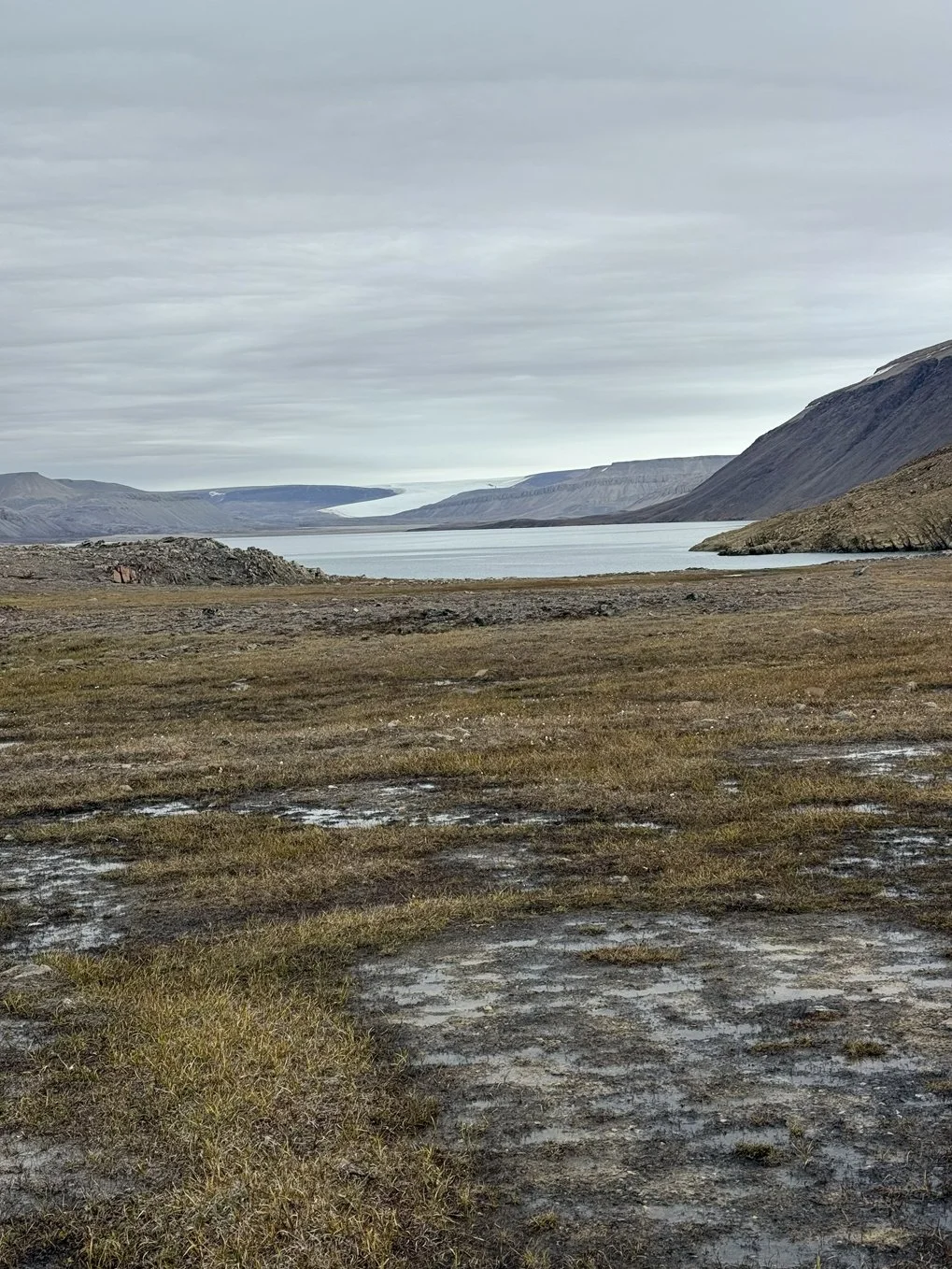
Today, we sailed along the coast of Devon Island to Dundas Harbor. In the photos section, I’ve included a map of our recent stops. It also includes our stop for tomorrow, Pond Inlet. Pond Inlet is the eastern-most community in the Northwest Passage. When we leave there, we’ll be heading across Baffin Bay to Greenland.
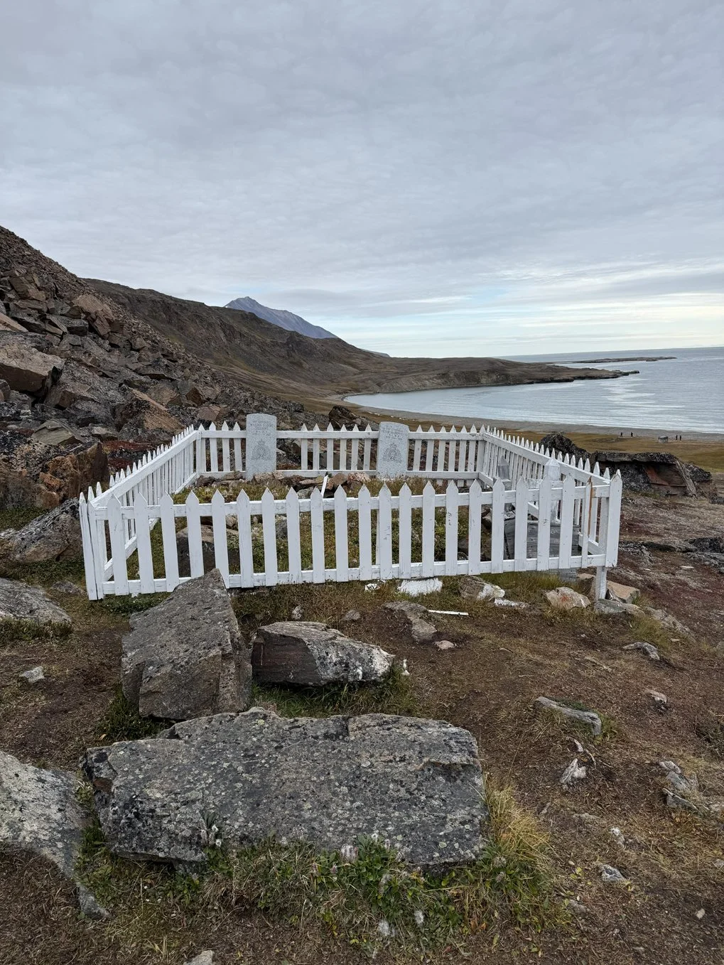
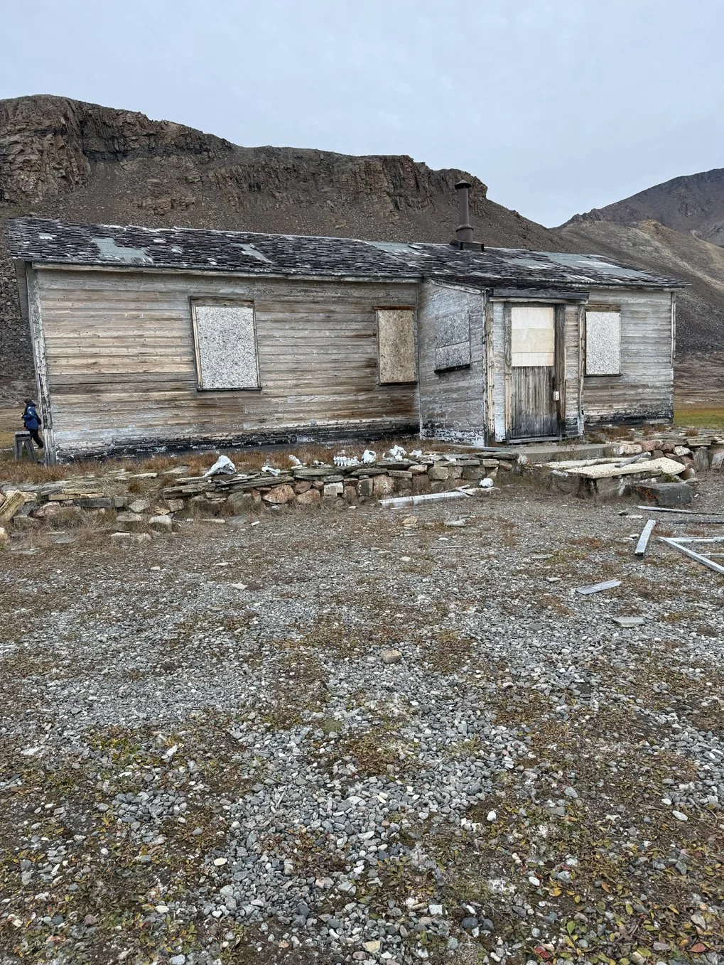
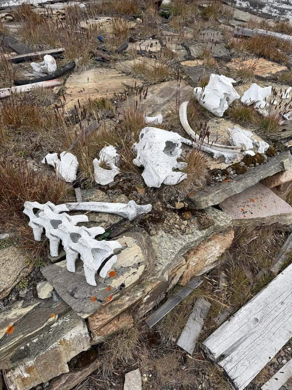
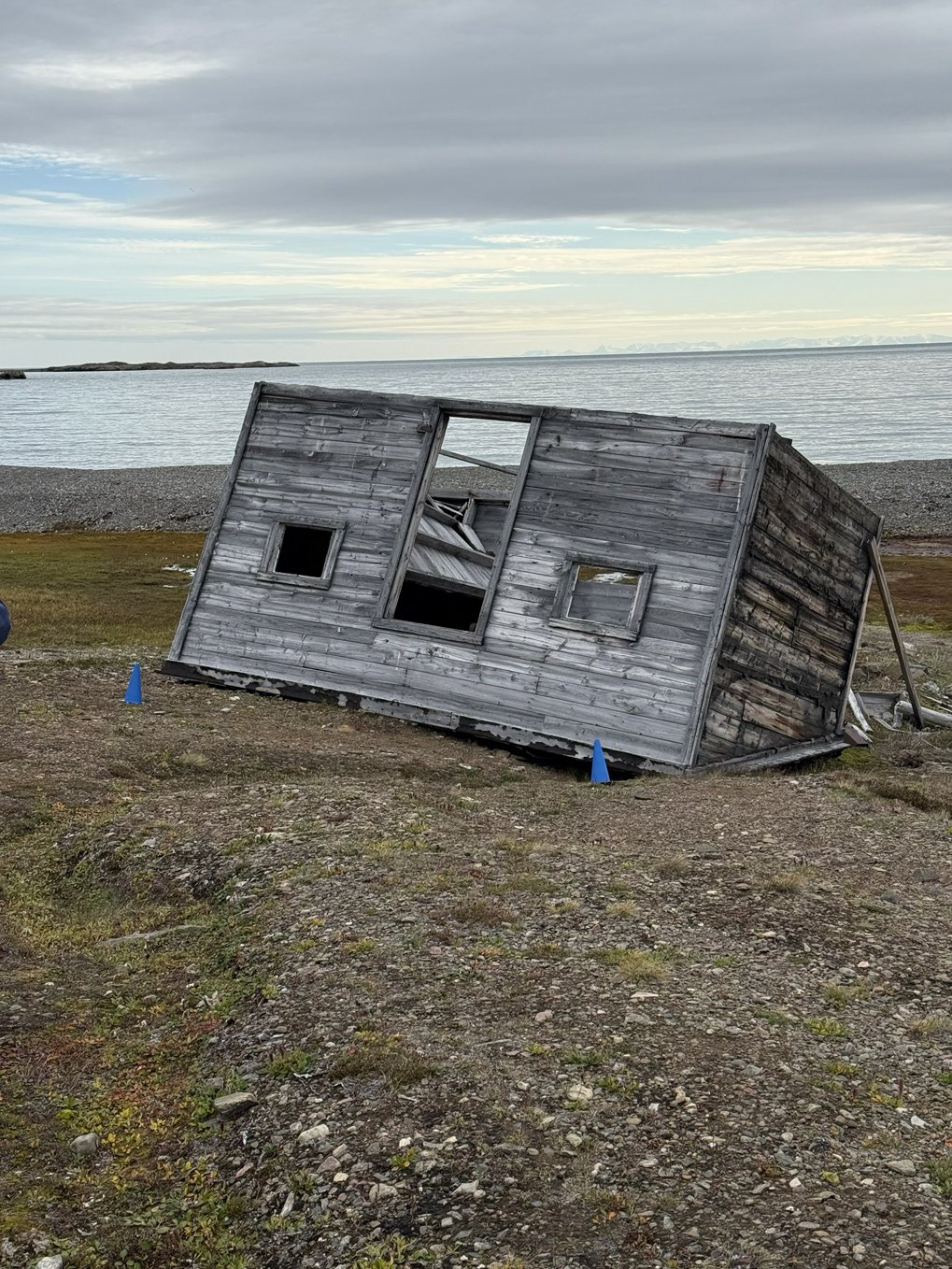
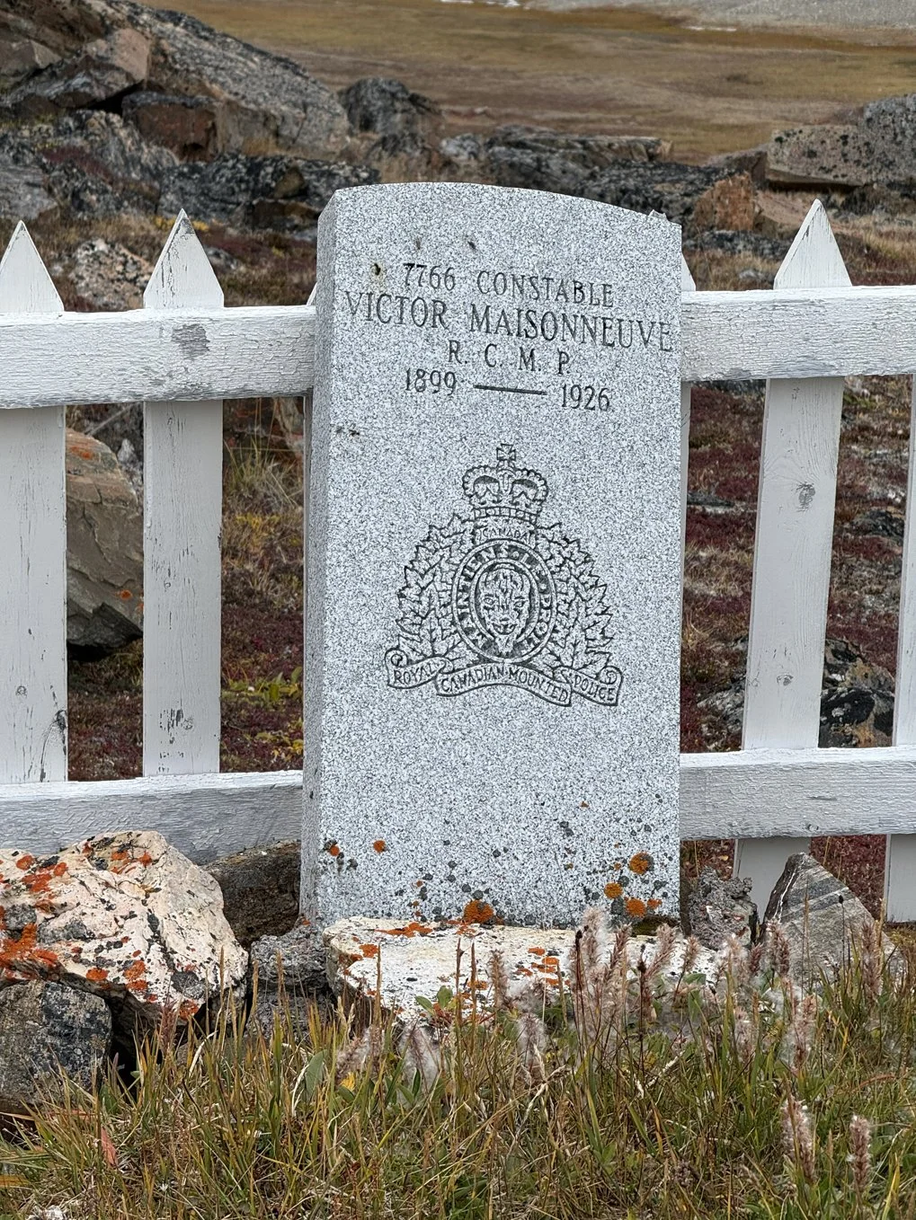
Devon Island is a hilly island which was once used as a Royal Canadian Mounted Police (RCMP) outpost. This outpost was established in 1924 to keep other countries from trying to claim the territory and to prevent illegal whaling by other countries. Because conditions here were so harsh, the RCMP abandoned the post in 1933 and turned it over to Hudson’s Bay Company to use as a trading post. Hudson’s Bay Company moved 52 Inuit families here from Baffin Island to trap and trade. However, the area isn’t the best hunting spot and the weather conditions are brutal. This area had so much ice for much of the year that they had to rely on an annual supply delivery for survival but that one delivery was often all that could get through.
The Inuit families abandoned the settlement and returned to Baffin Island, and Hudson’s Bay Company transferred it back to the RCMP. The RCMP maintained a presence here until 1945, when they moved the detachment elsewhere. The island is now a ghost town, with some of the original buildings still standing.
The island is boggy and has some steep (for me) hills, so I opted to stay on the ship and enjoy the view in comfort today. After talking with a few people who went ashore, I’m glad I did, especially since several of them had difficulties getting their boots freed from the mud! For more intrepid hikers than me, the climb up the slopes looks like it will yield some wonderful views. Peter promised to bring me some photos I can post.
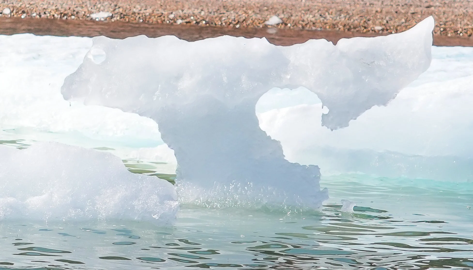
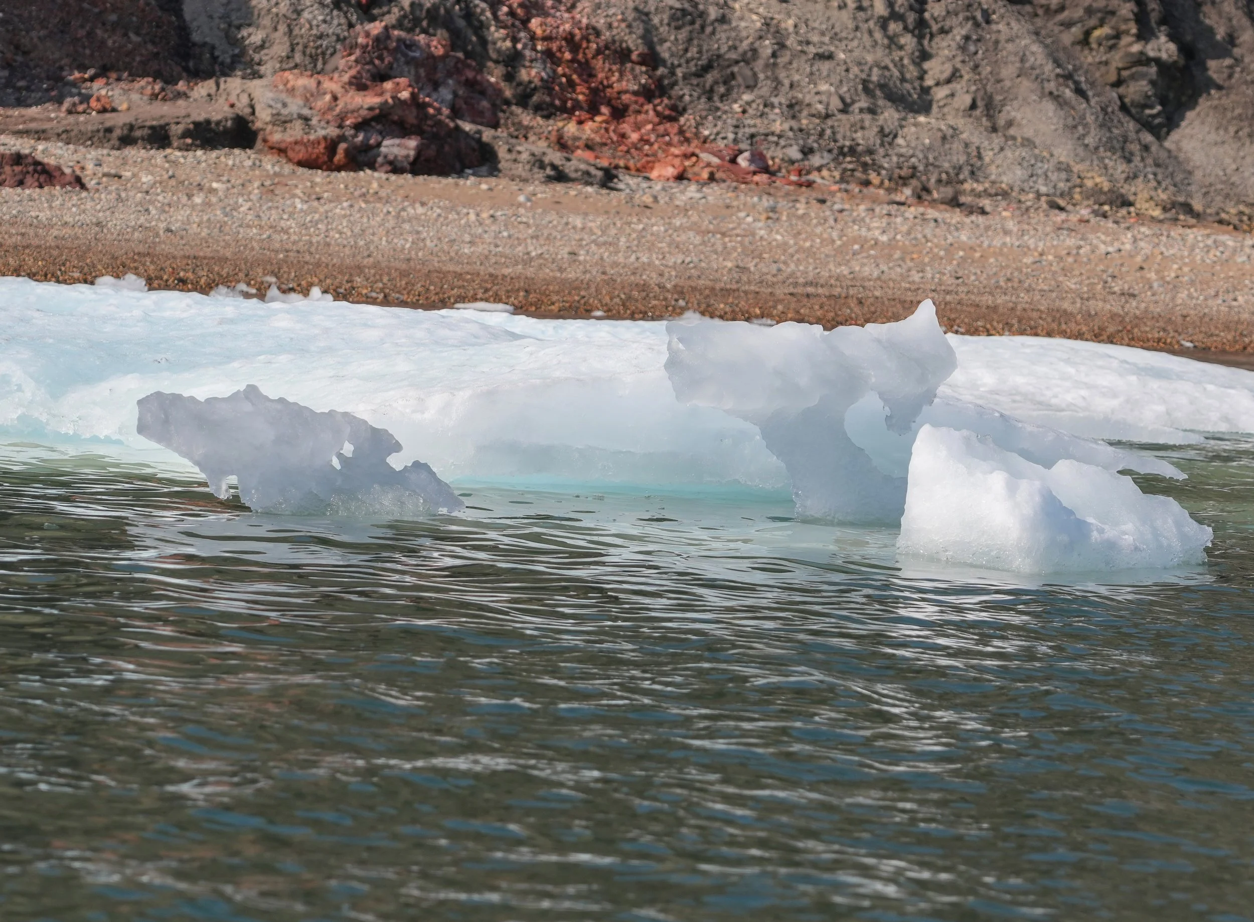
We’ve had a huge ice floe floating next to the ship all afternoon. I decided it looks like a an alligator head, so I have a reminder of my home in Florida!
Just overheard in the lounge – a passenger said “Hey, stop judging! I don’t even know what time it is or what day it is! I don’t know where I am! I don’t know where I’m going!” That’s a perfect summation of our time here at sea. One day flows into another like the changing of the tide.
Photo Notes:
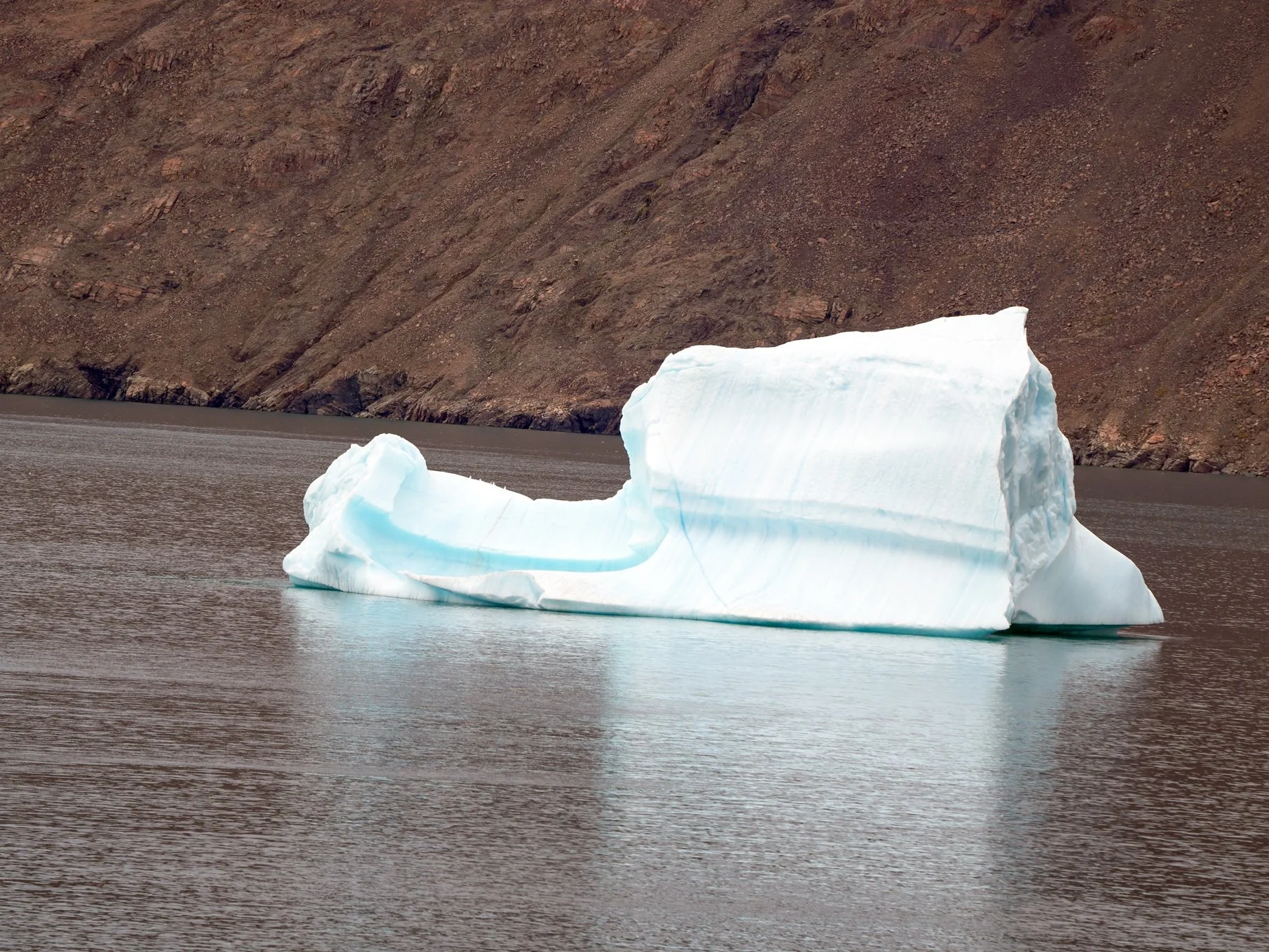
The iceberg in the first picture was the first thing I saw this morning when I opened my eyes. Nice way to start the day!
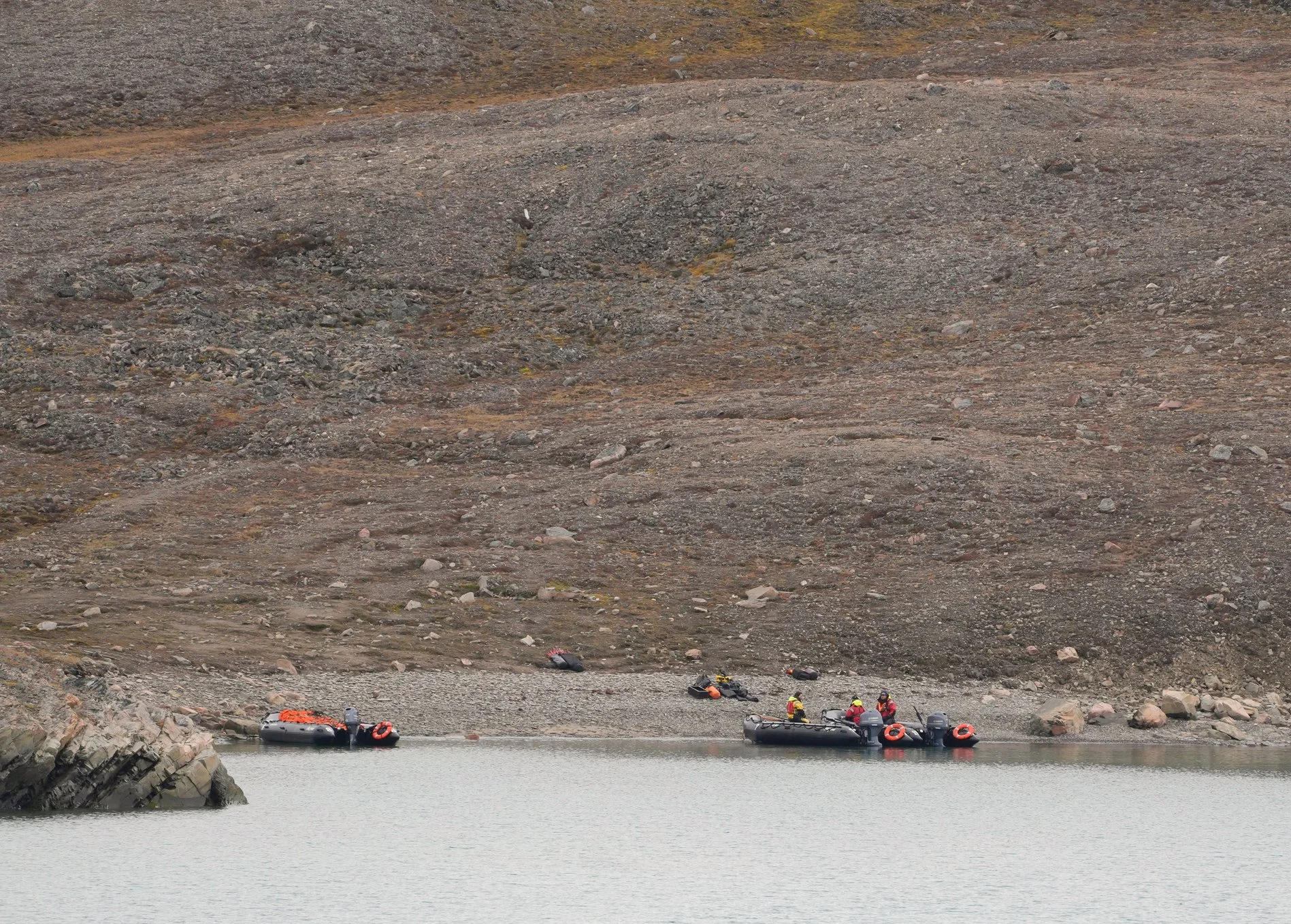
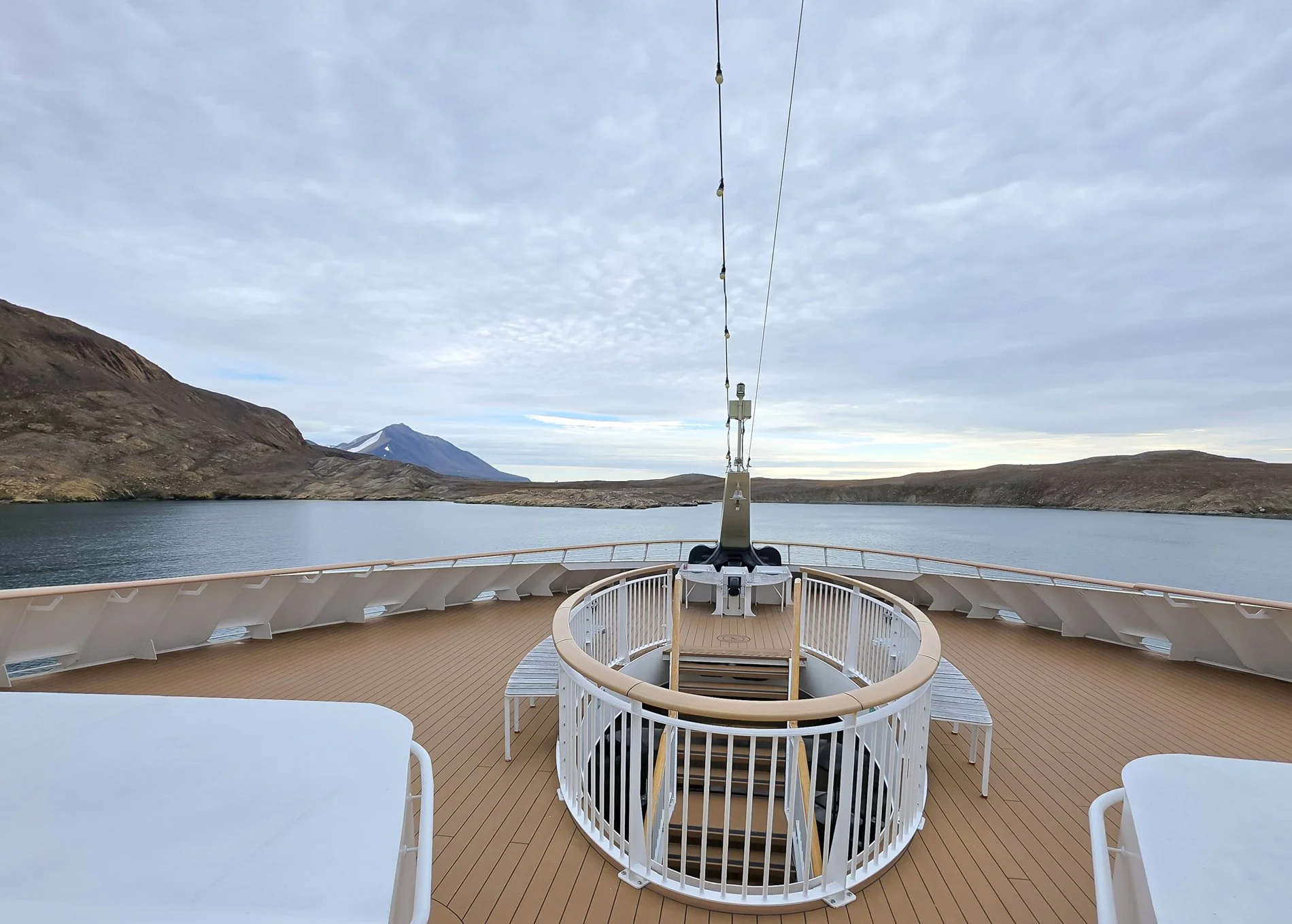
In the second photo below, look for the tiny bright yellow jacket on the left side of the photo. That’s an Expedition Team member on polar bear patrol while passengers were on shore.
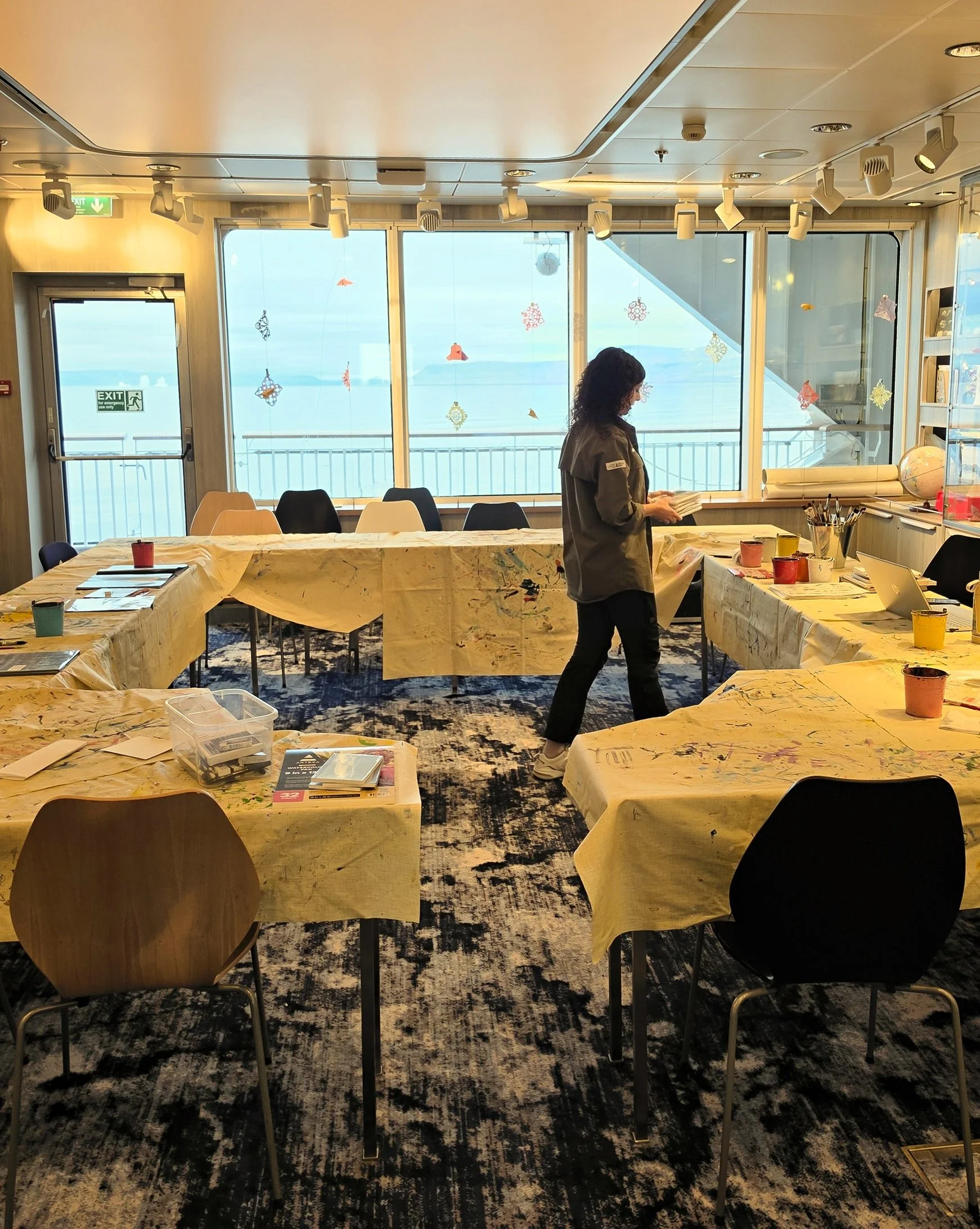
The onboard photo is of the activity center, where arts and crafts classes are held.
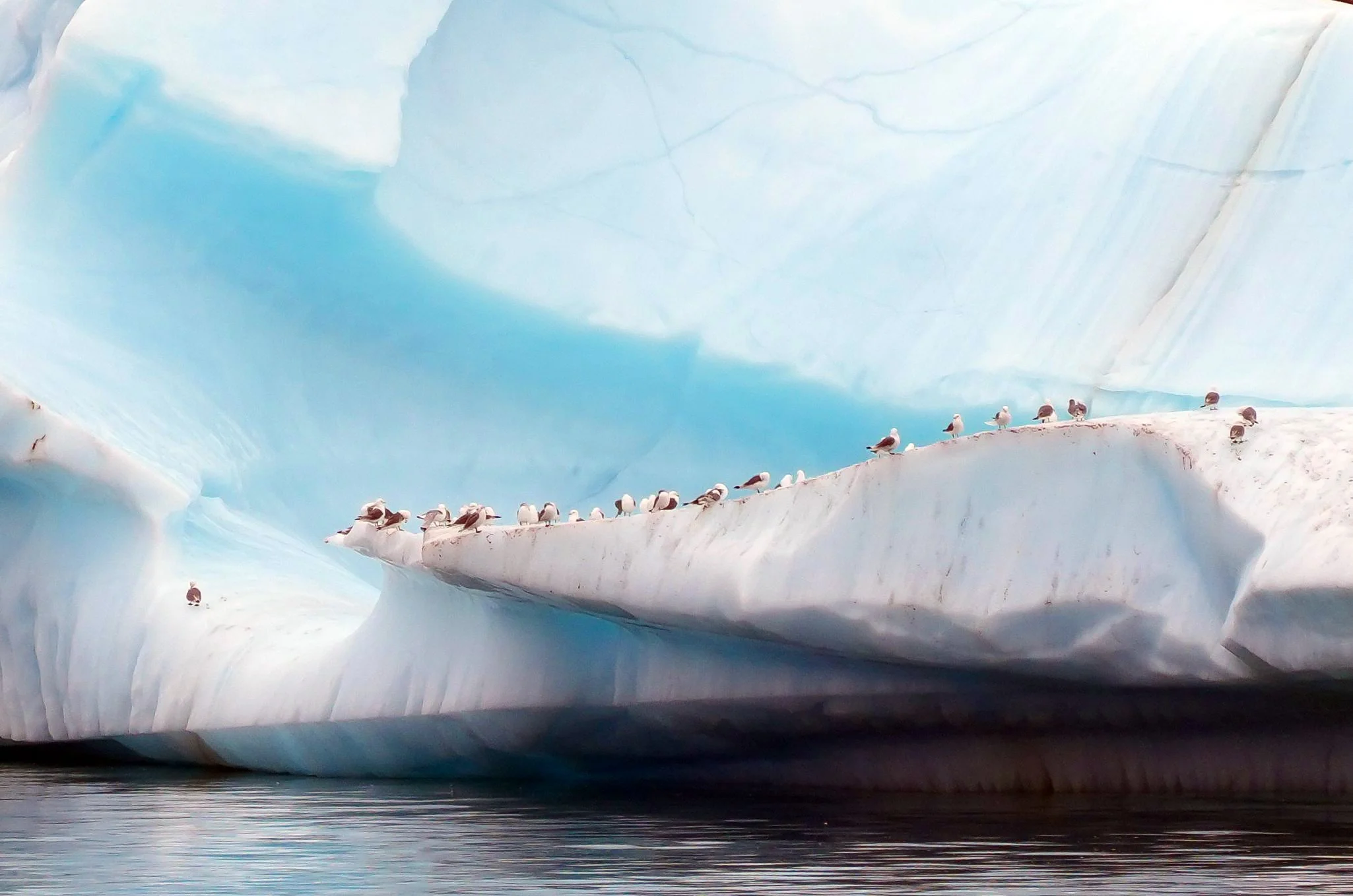
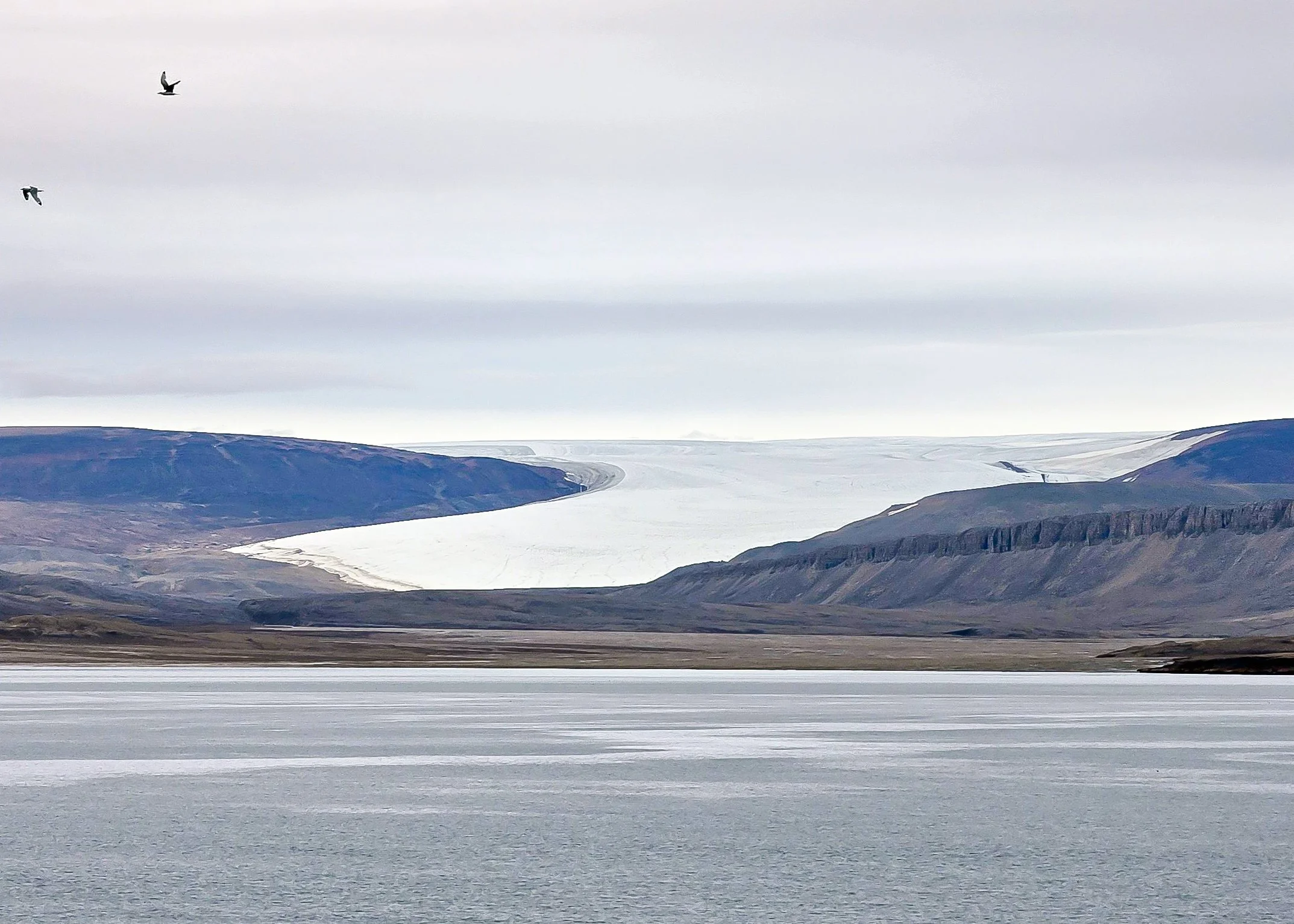
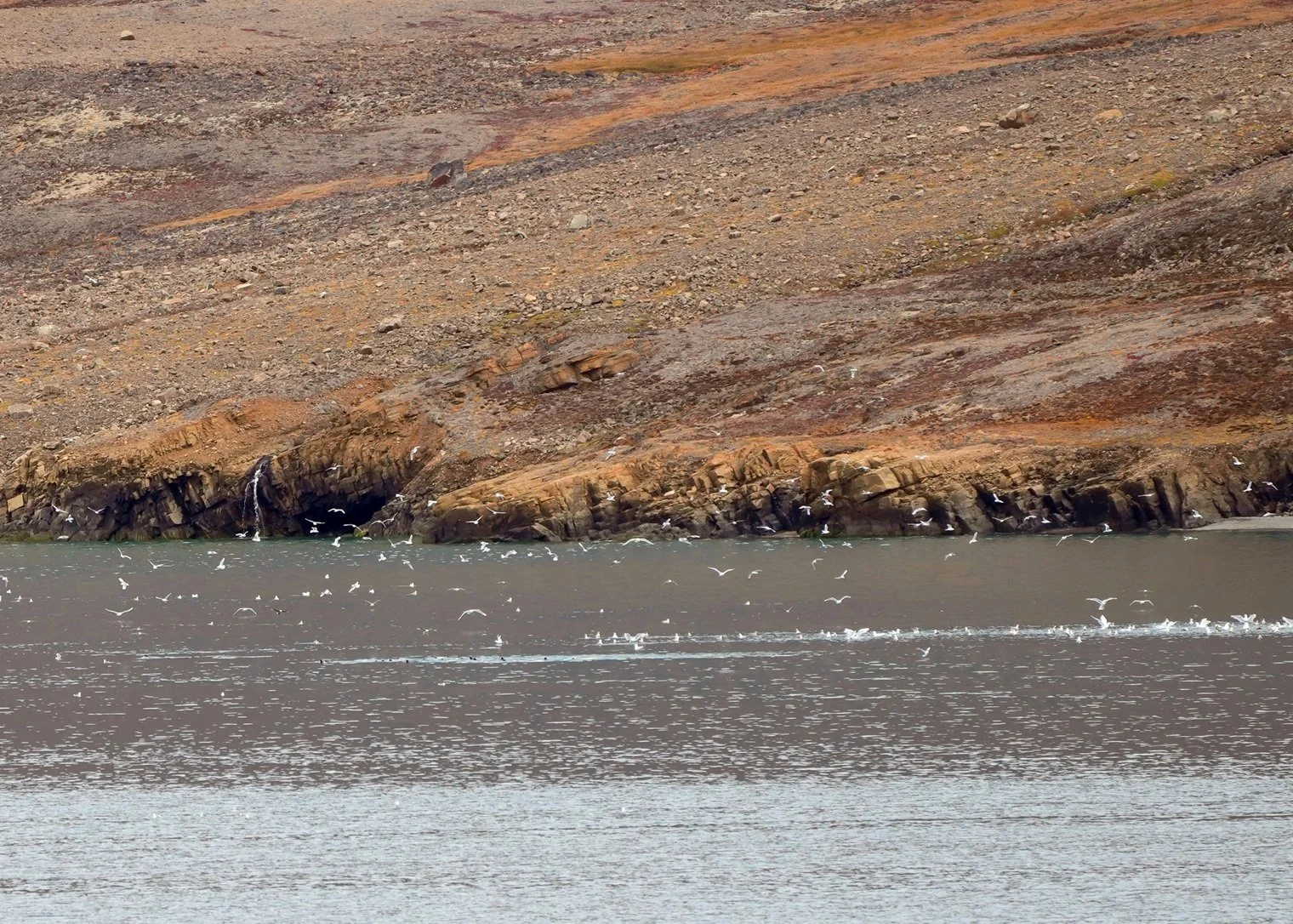
If you can, zoom in on the photo that has all the birds (Kittiwakes) flying over the water. There are about 20 seals in the water feeding.
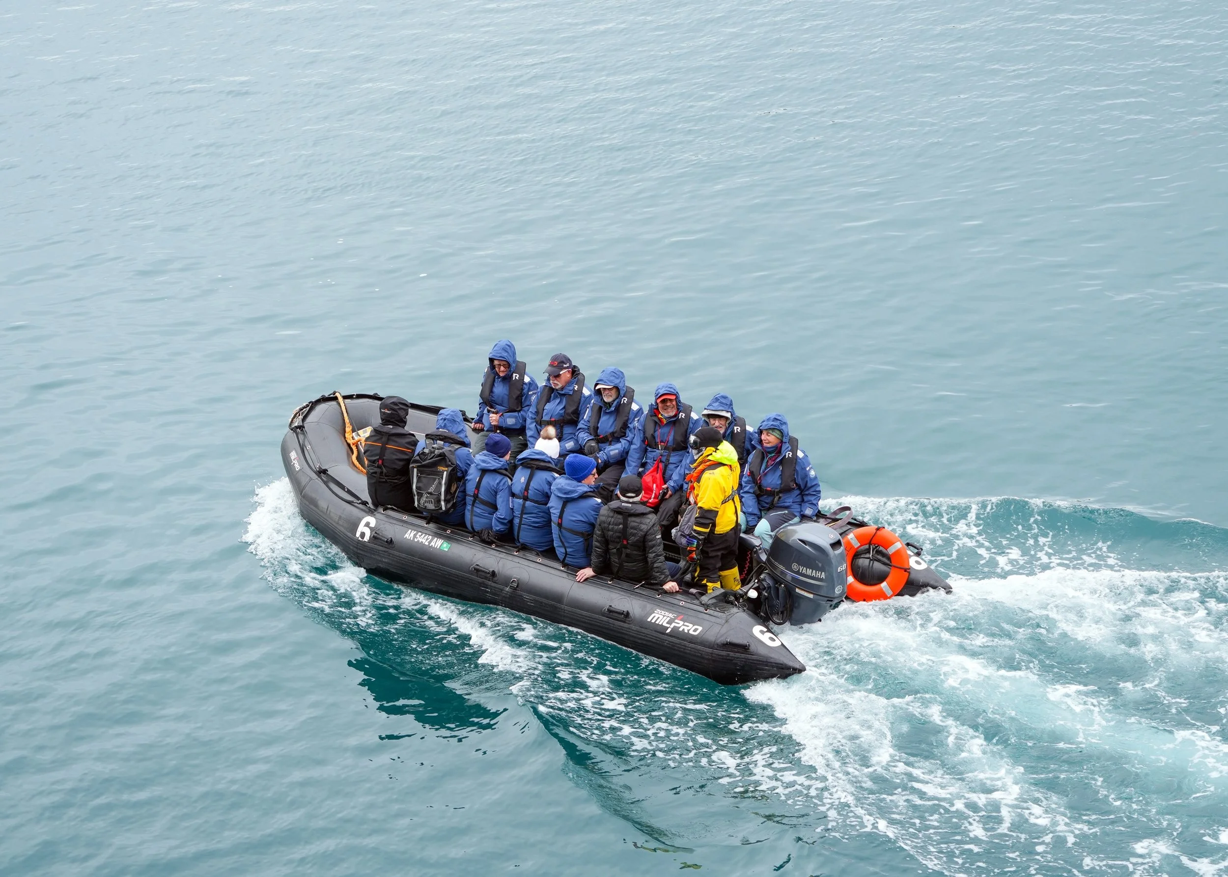
The moving Zodiac shows my friend Peter headed to shore. All of the photos after that were taken by Peter and kindly shared with me.



The Northwest Passage - Day 16
Beechey Island/Radstock Bay
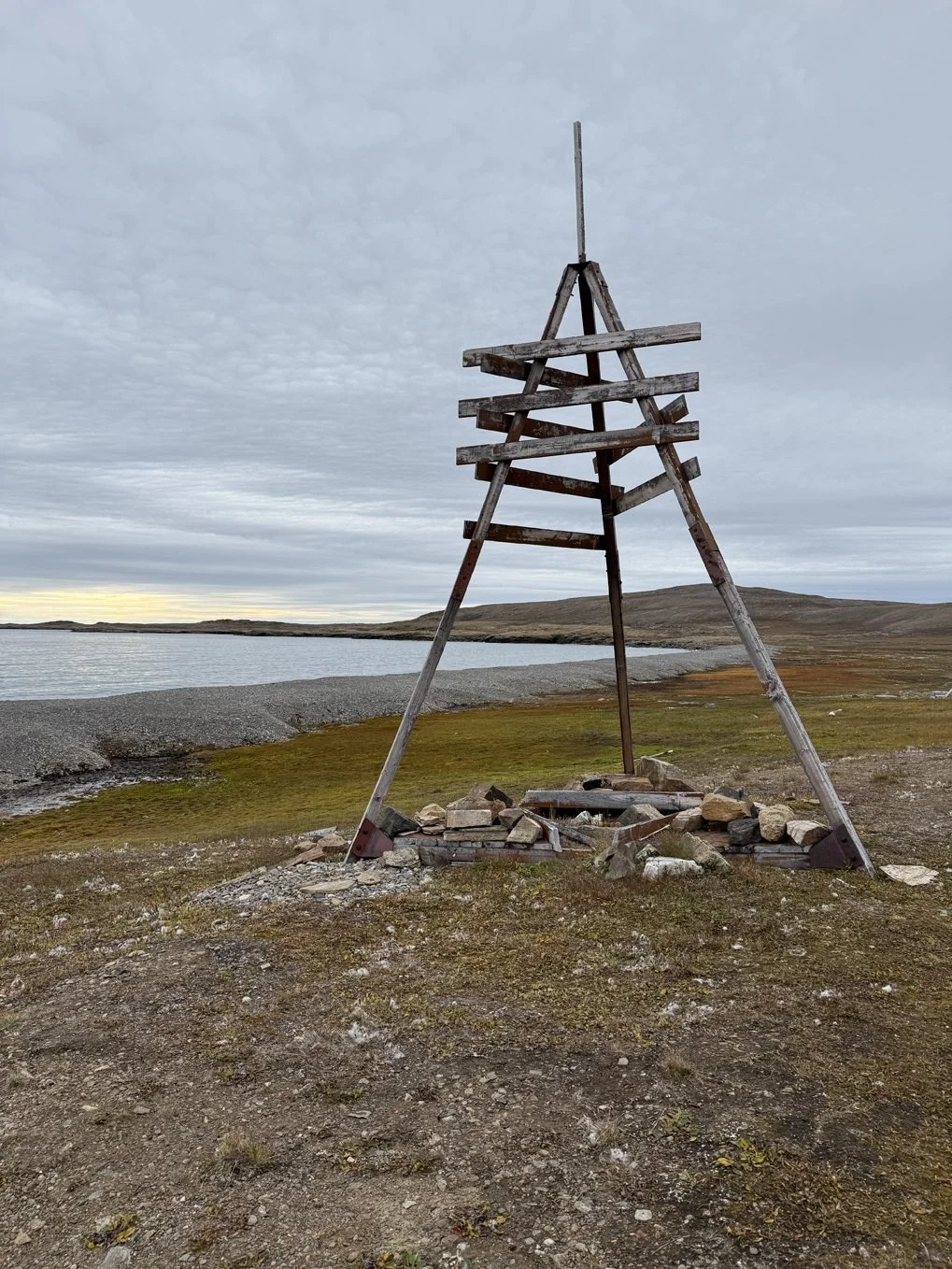
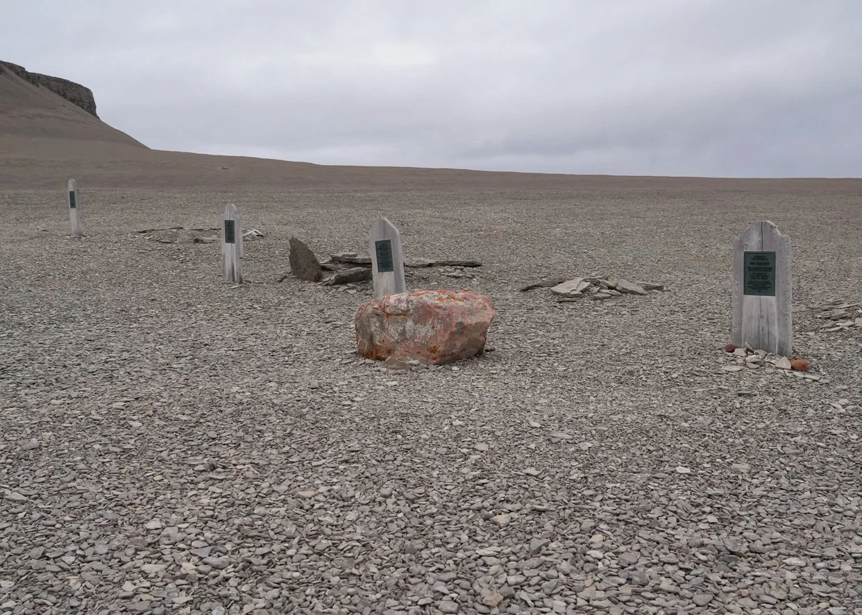
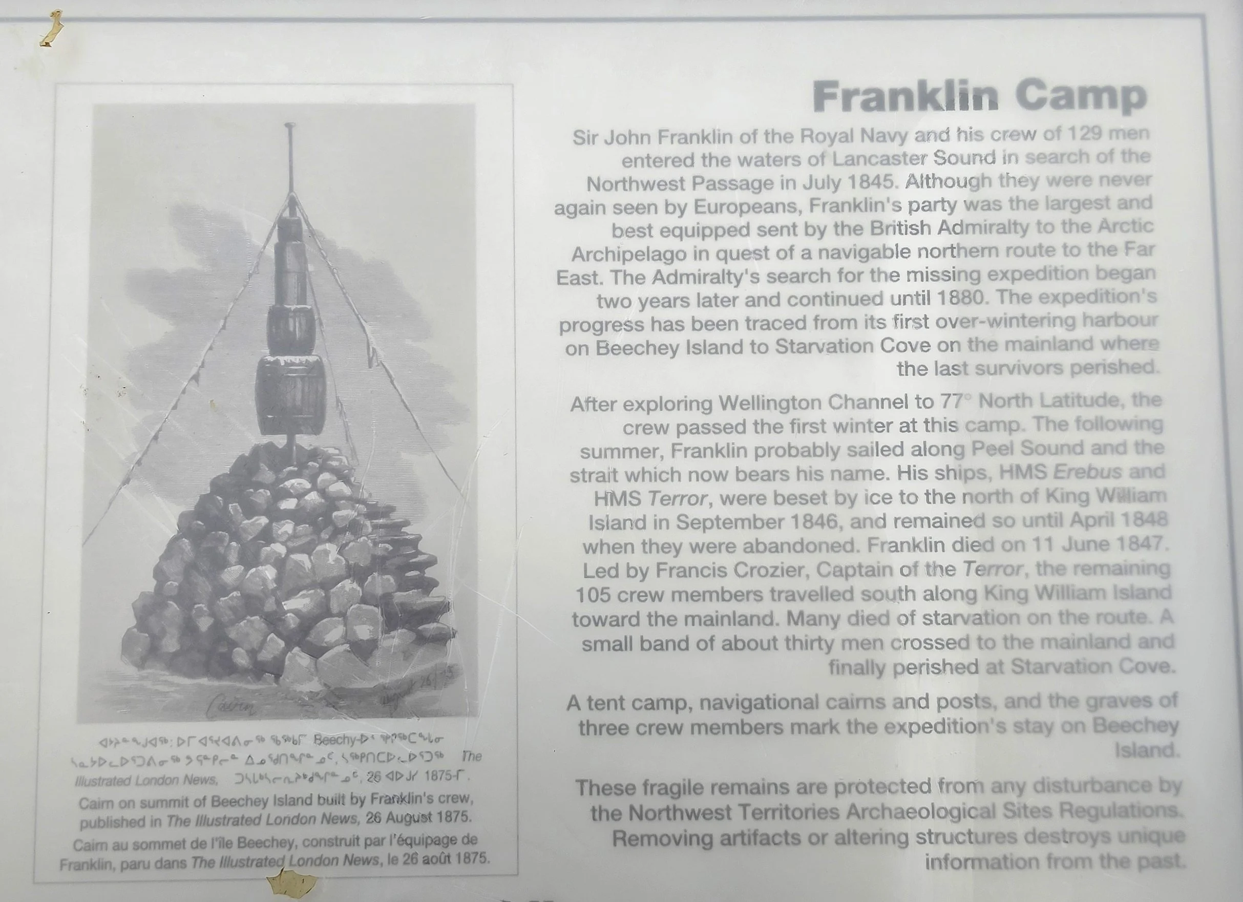
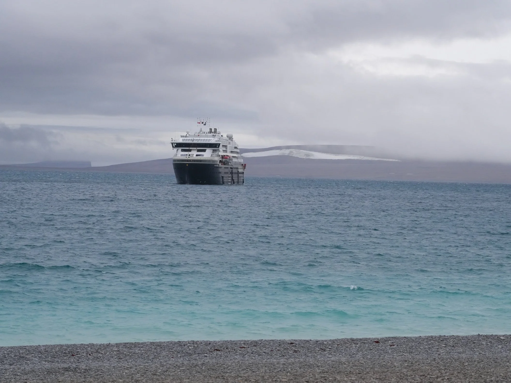
We’ve spent today traveling in the wake of history. This morning, we took the Zodiacs to Beechey Island. Beechey Island is an integral part of the history of the Canadian Arctic and the Northwest Passage. It’s the resting place of three members of the doomed Franklin expedition and also of one of the sailors who died searching for Franklin’s lost ships and crew. Franklin’s crewmen buried there are Petty Officer John Torrington, Royal Marine Private William Braine, and Able Seaman John Hartnell. The searcher who died (in 1854) was Thomas Morgan from the vessel North Star.
Here’s a short(ish) summary of the Franklin expedition and the search for the crew and ships, from https://www.britannica.com/event/Franklin-expedition.
The Franklin expedition departed from Britain on May 19, 1845. Franklin commanded the Erebus, with Fitzjames as his second-in-command, and Crozier was captain of the Terror. The ships stopped in western Greenland to take on more supplies. In late July 1845 two whaling ships spotted the Terror and Erebus in Baffin Bay, Canada, before the expedition crossed to Lancaster Sound. No Europeans ever saw them again.
For two years, there was no word from Franklin or his men. In 1848 Franklin’s second wife, Lady Jane Franklin, helped persuade the Admiralty and government to launch what became perhaps the largest search effort in naval history. For years, overland and sea expeditions scoured the area where the ships had been sent but found only a few artifacts and some scattered human remains. Forensic work revealed that the men had suffered from starvation, scurvy, and lead poisoning. The latter illness, probably caused by contaminated tin cans, was thought to have played a significant role in the expedition’s demise. Researchers also discovered that some bones bore cut marks suggestive of cannibalism. The majority of the crew had simply vanished.
The search for the lost Franklin expedition continued through the 19th and 20th centuries. Over the years, a rough sequence of events was gradually assembled, based on information from search expeditions, Inuit oral accounts, and the work of explorers. One key resource was the Victory Point Note, dated April 25, 1848, and written by Crozier and Fitzjames. It was found in May 1859, tucked into a stone cairn on King William Island. According to the note, the Franklin expedition spent the winter of 1845–46 on Beechey Island, and then in the summer of 1846 it traveled down Peel Sound. Off King William Island, the Erebus and Terror became trapped in the ice, forcing the men to spend the winters of 1846–47 and 1847–48 on the island. Sir John Franklin died on June 11, 1847. The note also stated that Crozier, Fitzjames, and the crew had abandoned the ships and were heading for what is now Back River on the Canadian mainland. The 248-mile (400-km) journey required the 105 survivors to traverse King William Island and cross the sea ice before reaching the river. Later, Inuit people in the area told searchers that 35 to 40 white men had died near the mouth of Back River. However, the location of the other crew members was unknown.
Finally, in the 2010s the mystery of what had happened to the two ships was solved. A combination of research into Inuit oral histories, the continued work of modern explorers, and the use of high-tech underwater equipment allowed scientists to locate first the Erebus in Queen Maud Gulf in 2014 and then the Terror in Terror Bay in 2016. Both wrecks were found off King William Island. Numerous dives recovered various artifacts.
These discoveries highlight the importance of Inuit oral histories in gleaning information about the expedition. However, for many years their accounts were dismissed. In the 1850s British searchers interviewed a number of Inuit on King William Island and were told of the crew’s incredible suffering, which included cannibalism. However, these claims caused outrage in England, and stories were rejected. It was more than a century before their accounts were seriously investigated, and they have been invaluable to researchers. In addition, discussions of the expedition have increasingly included the Inuit perspective.
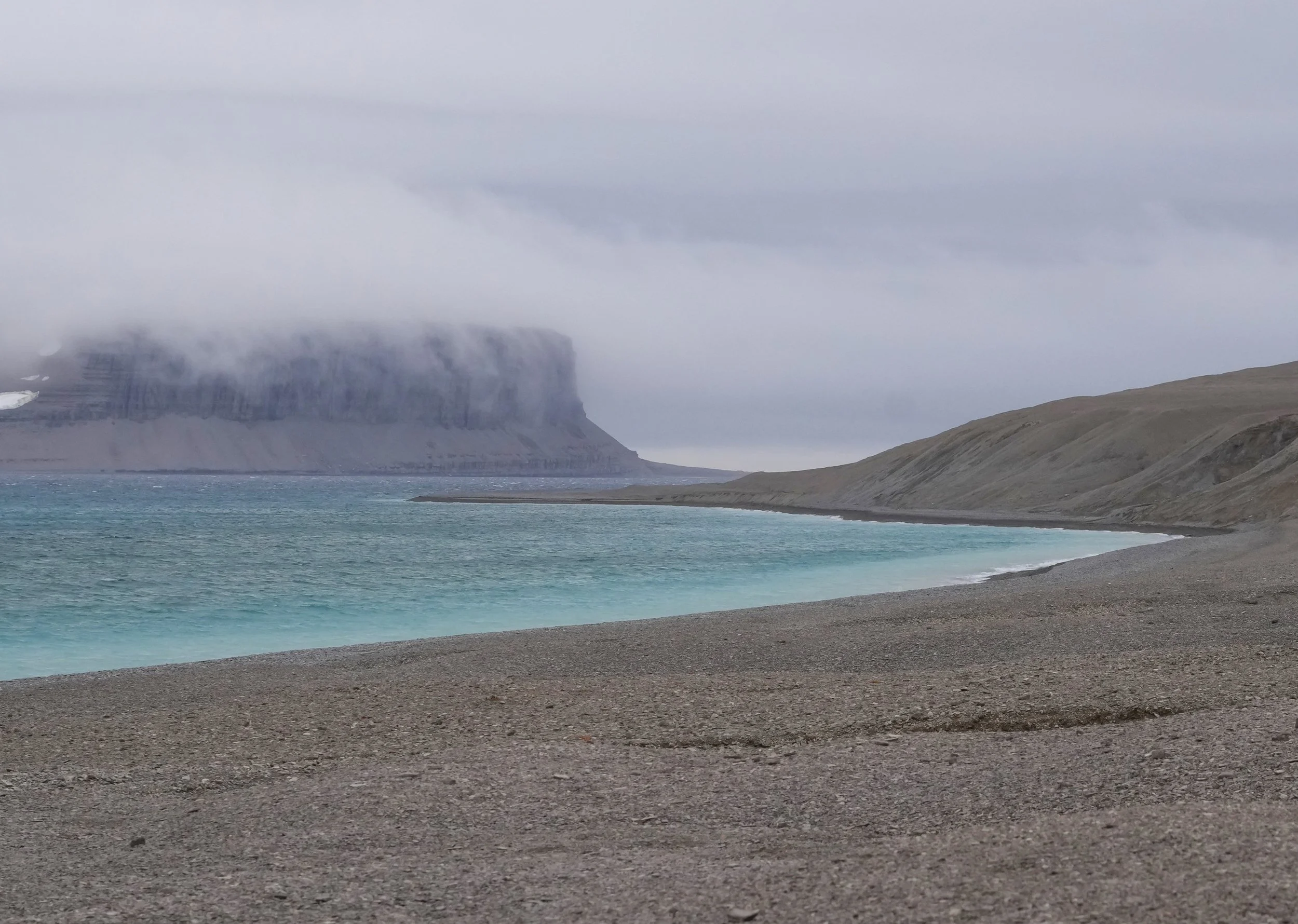
Standing on the barren and windswept island today, it was easy to see why the island and its harbor had been a haven from the Arctic winter to Franklin’s ships and to the searchers who came later. At the end of August, we’re already feeling some high winds and dropping temperatures, and I can see why any ship navigating uncharted waters needed a secure refuge as winter set in. It’s a beautiful place, and has remained largely unchanged, thanks both to its remote location and also to the archeological preservation work that’s ongoing. Our ship’s archeologist plays a role in the preservation there, and the site is highly protected by Canada.
Our Zodiac trip to shore was easy and quiet but our return to the ship was an exciting reminder that the sea has the final word here! Riding the Zodiac back was like a roller coaster combined with waves of icy salt water hitting us every few minutes! There’s a reason you’re not allowed on the Zodiacs without waterproof pants and jackets, plus my friends the Muckboots! We had about 6 inches of water sloshing around our feet when the Zodiac reached the ship! Our poor expedition team members driving the Zodiacs had to just drop us off and then turn around and go back for more while we got to drip our way back to our cabins to get warm and dry.
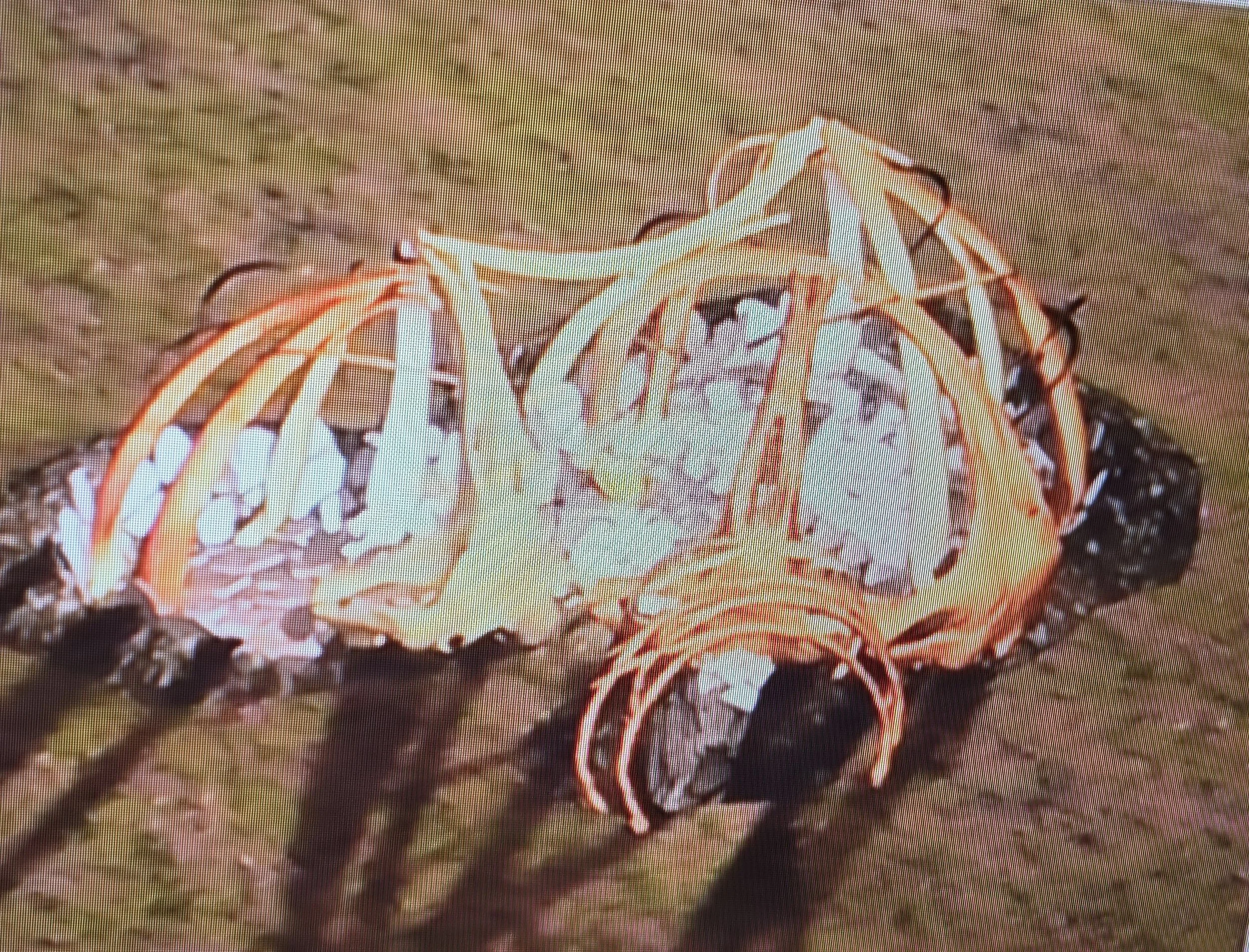
After leaving Beechey Island, the captain took the ship up into beautiful Radstock Bay. It’s on the western end of Devon Island. Sheer cliffs rise up at points along the bay. This area is known for polar bear denning sites and contains a number of archeological sites providing insight into Thule and Inuit history. At these sites, there’s evidence of homes being constructed from whale bones and covered with skins. I’m including a photo I took of a diagram during one of our on-board lectures.
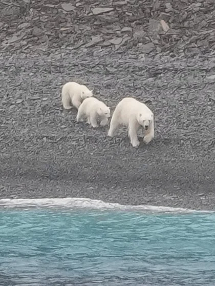
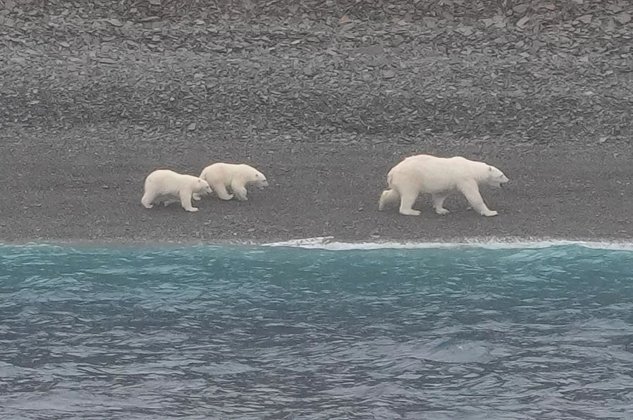
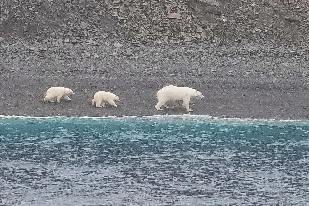
As we passed slowly up the bay, a mother polar bear with two cubs came out onto one of the shorelines! Even though we were far offshore, she hurried the cubs into a run for a little way and gave us a number of glances and sniffs before relaxing and slowing to a walk. She and the cubs wandered between the cliff edge and the water’s edge a few times as they walked along. They finally reached an area where Mama decided to climb up a steep slope and led the cubs away.
Photo Notes:
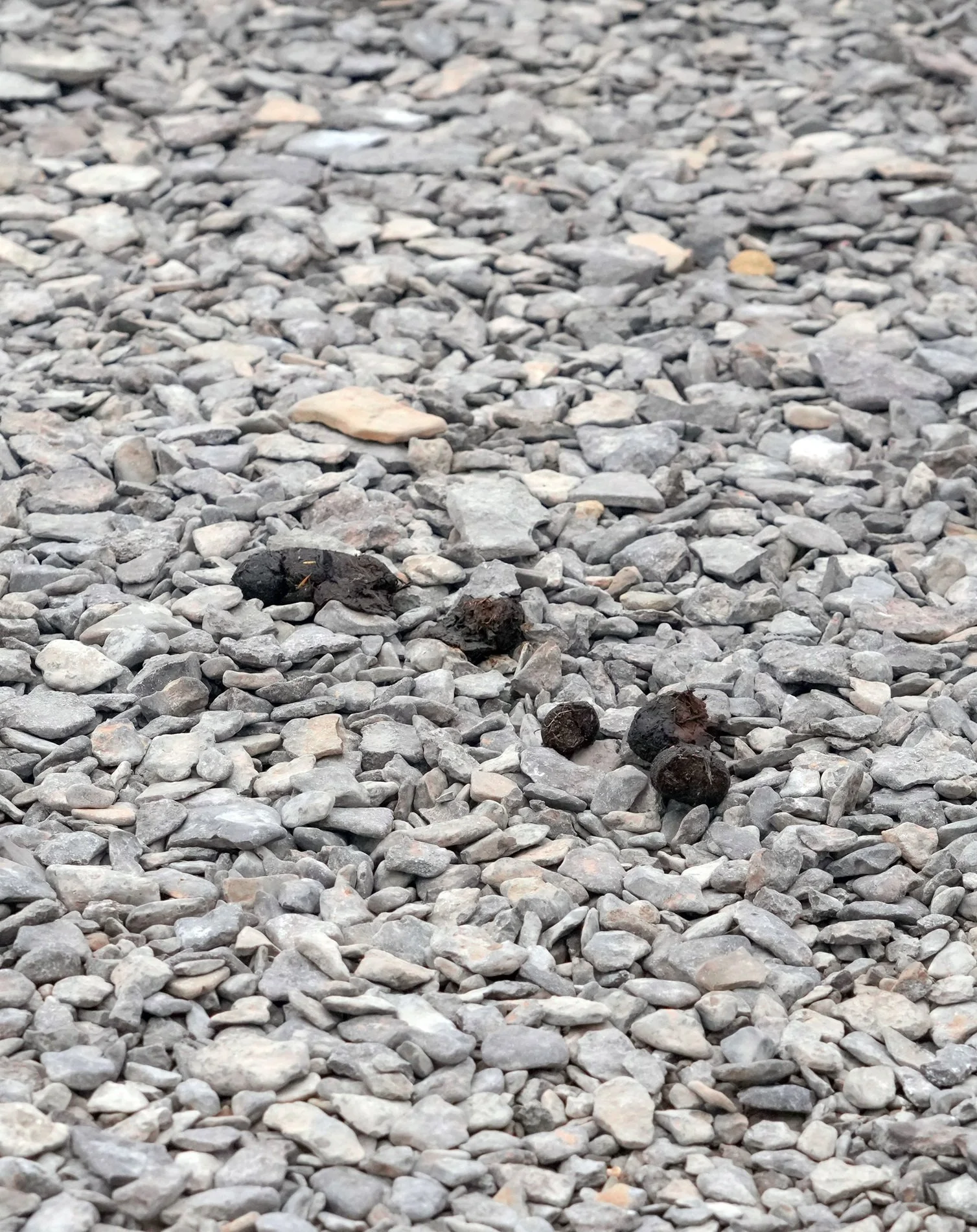
Yes, I did take a photo of polar bear poop. Our sister ship, the Nansen, couldn’t land here a few days ago because of a polar bear. This was the bear’s calling card.
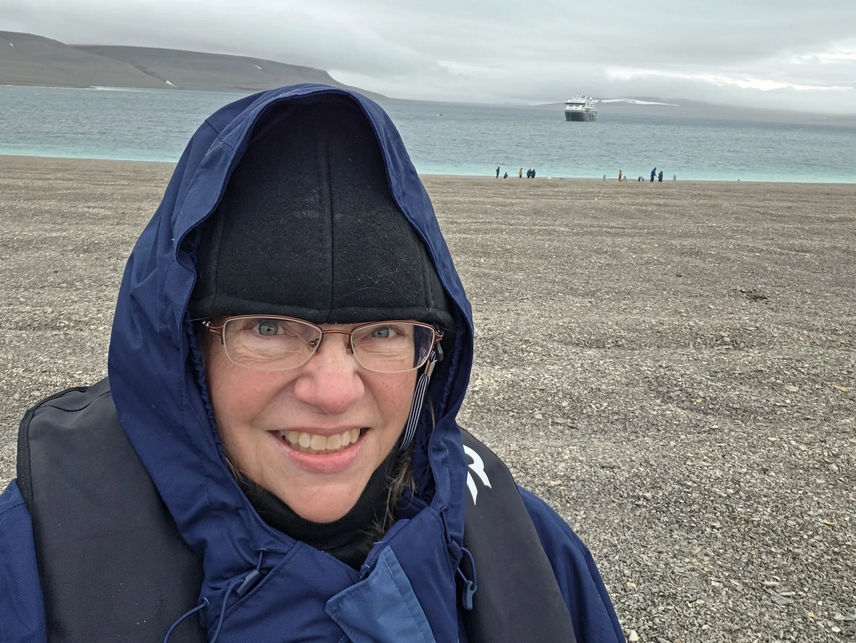
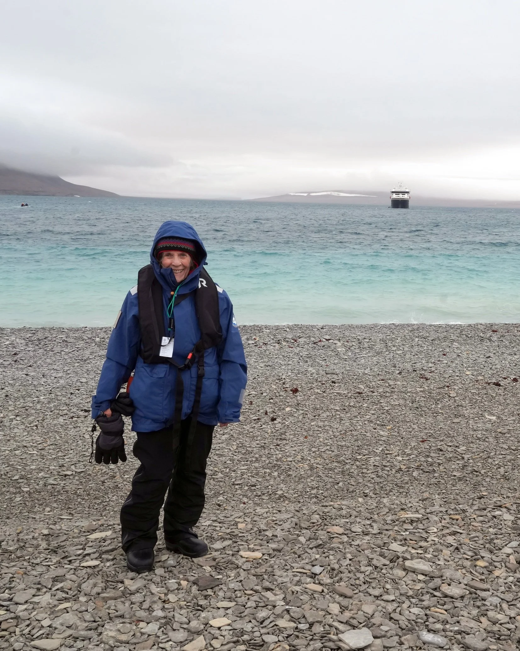
The first people picture is of me, bundled up because it is a cold and windy day! The person in the next photo is a friend I made on board. Her name is Margaret, and I think she knows everyone on board! She’s very kind and helpful to everyone, and it’s always fun when she’s on the same outing I am!
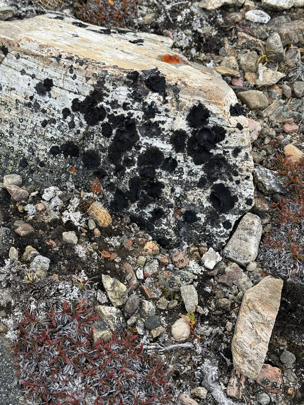
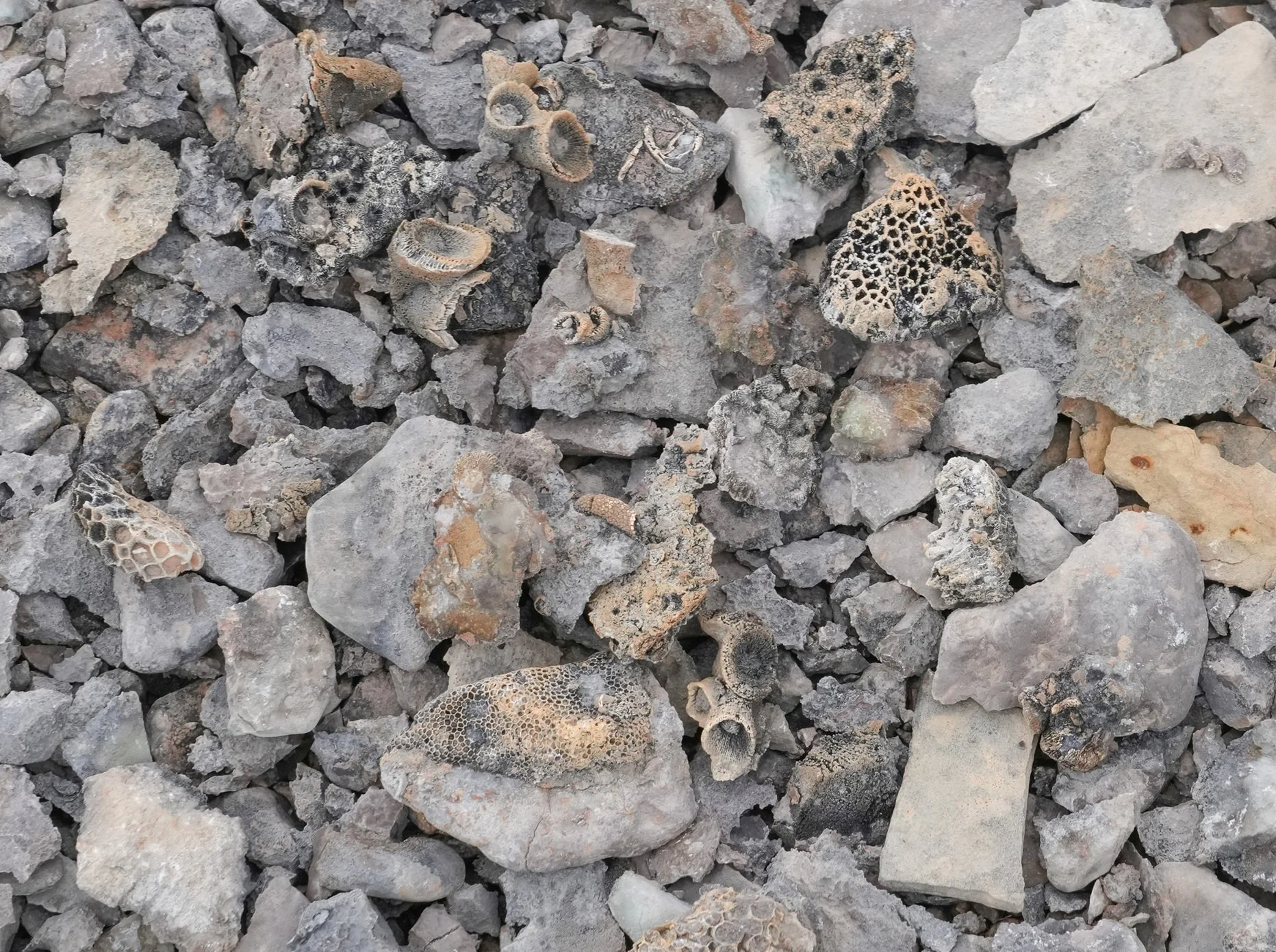
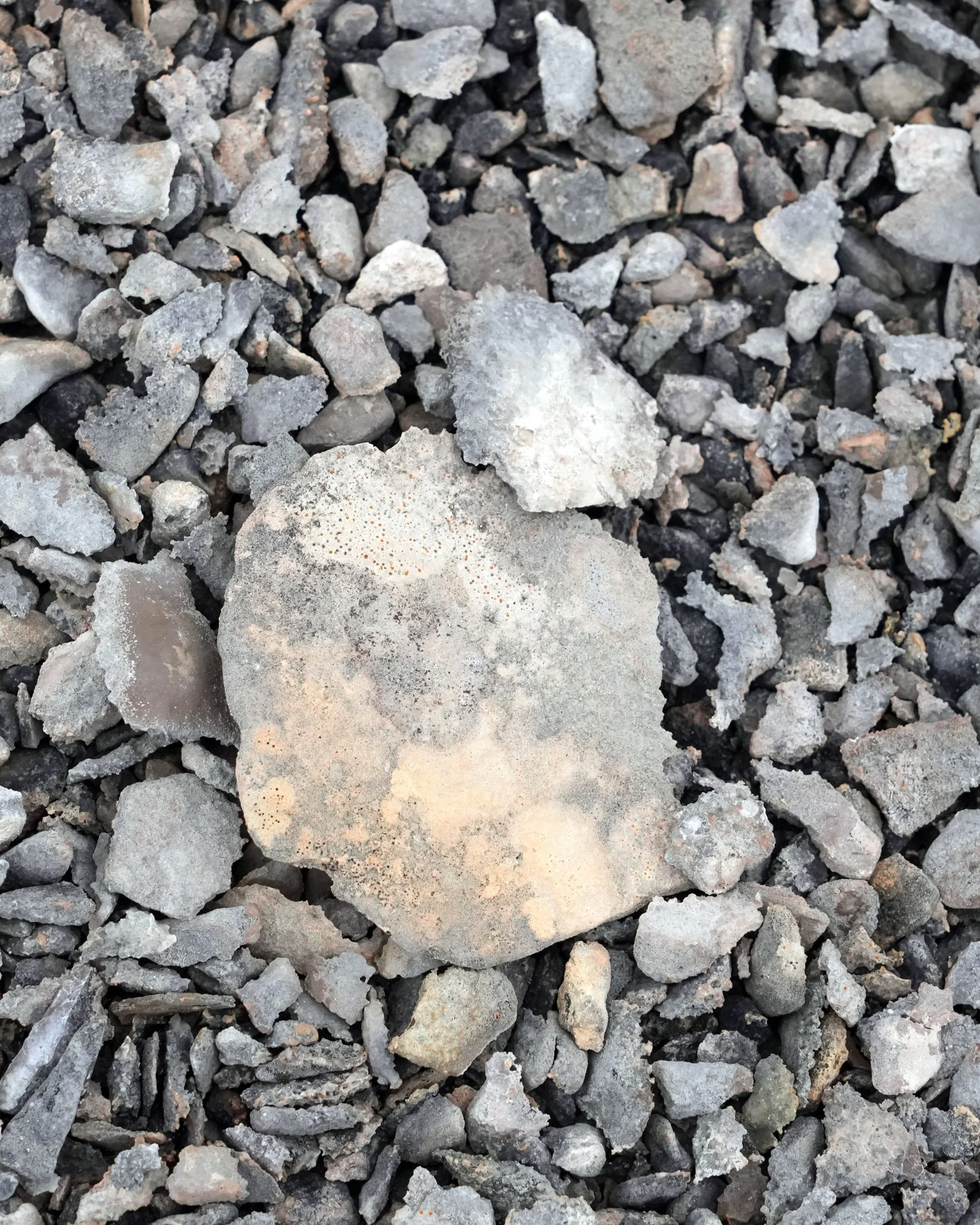
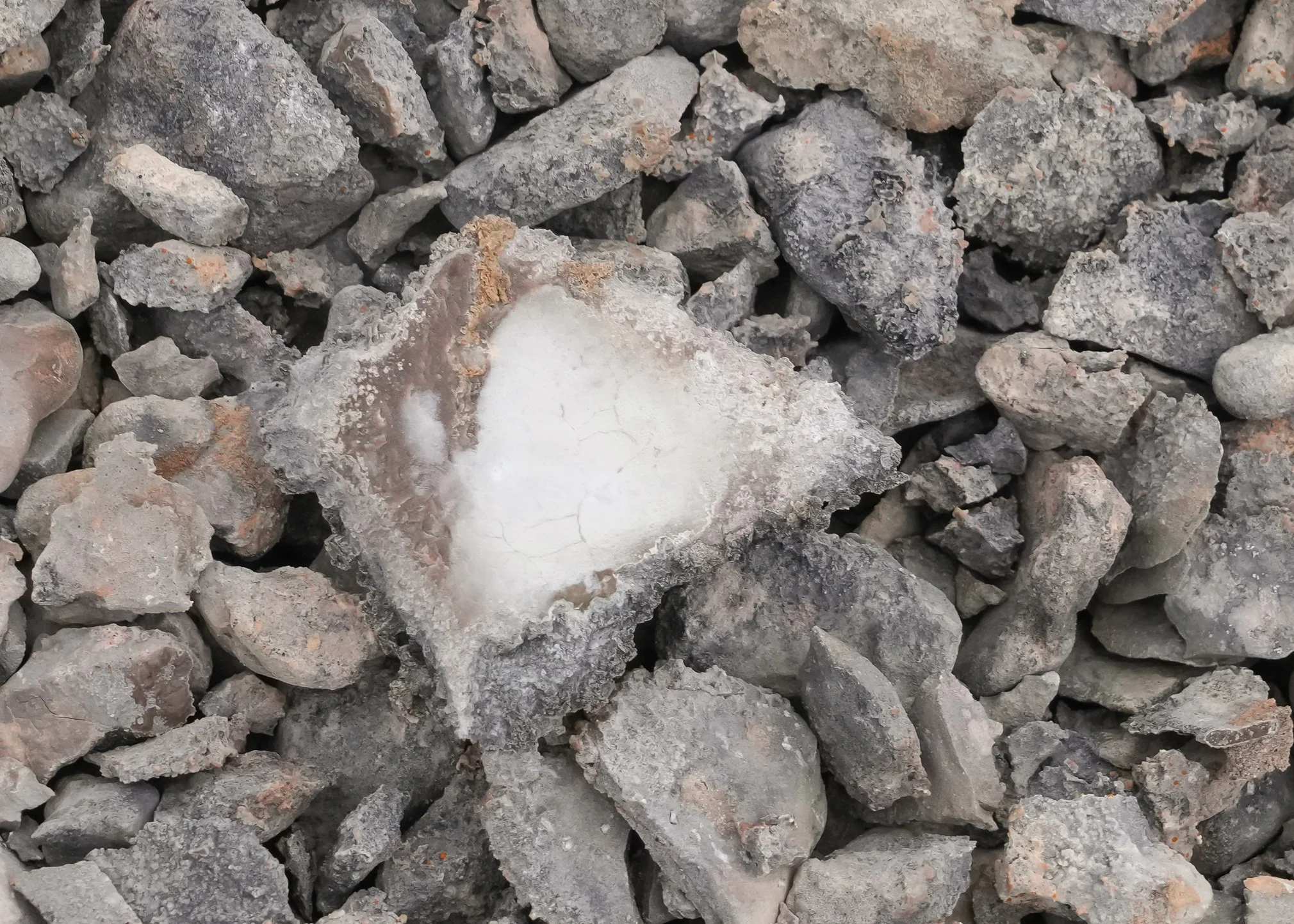
A couple of photos show fossils, largely coral but other shells as well, from when this area was under water.
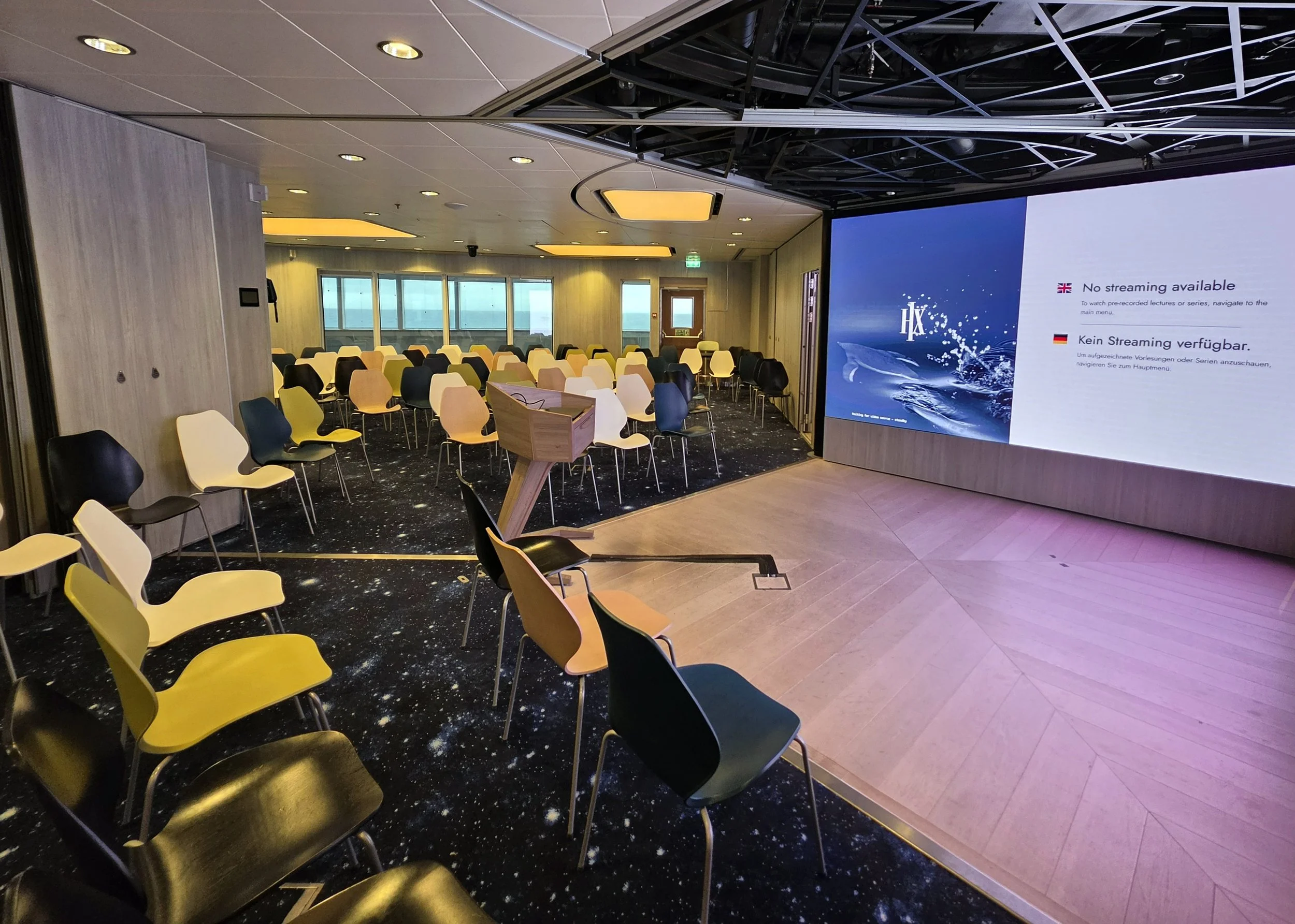
I grabbed a photo of the empty lecture hall yesterday. This is where we go to learn from the experts!
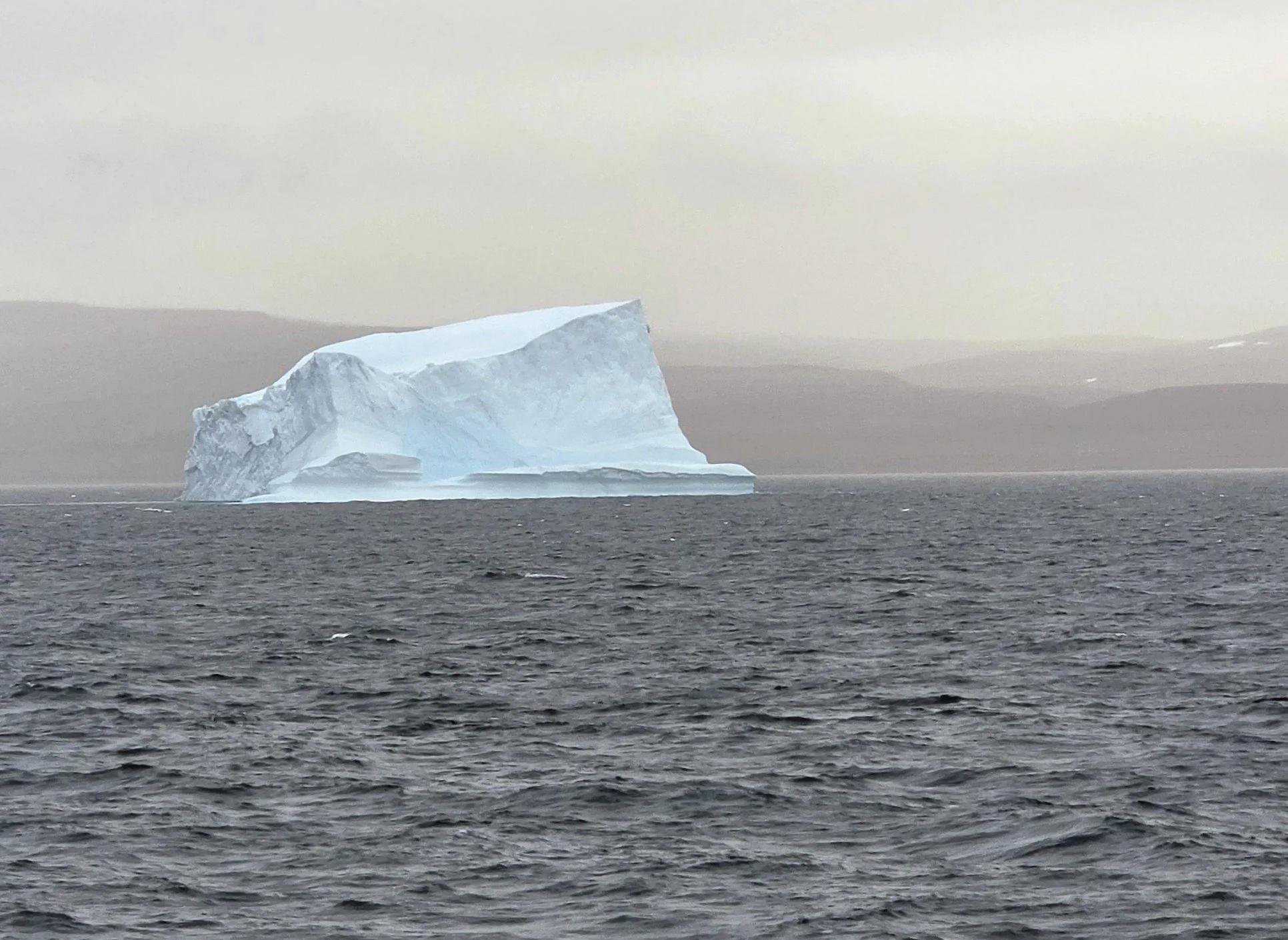
Late in the day, that huge and beautiful iceburg sailed past! I suspect we’ll see more as we get close to Greenland.


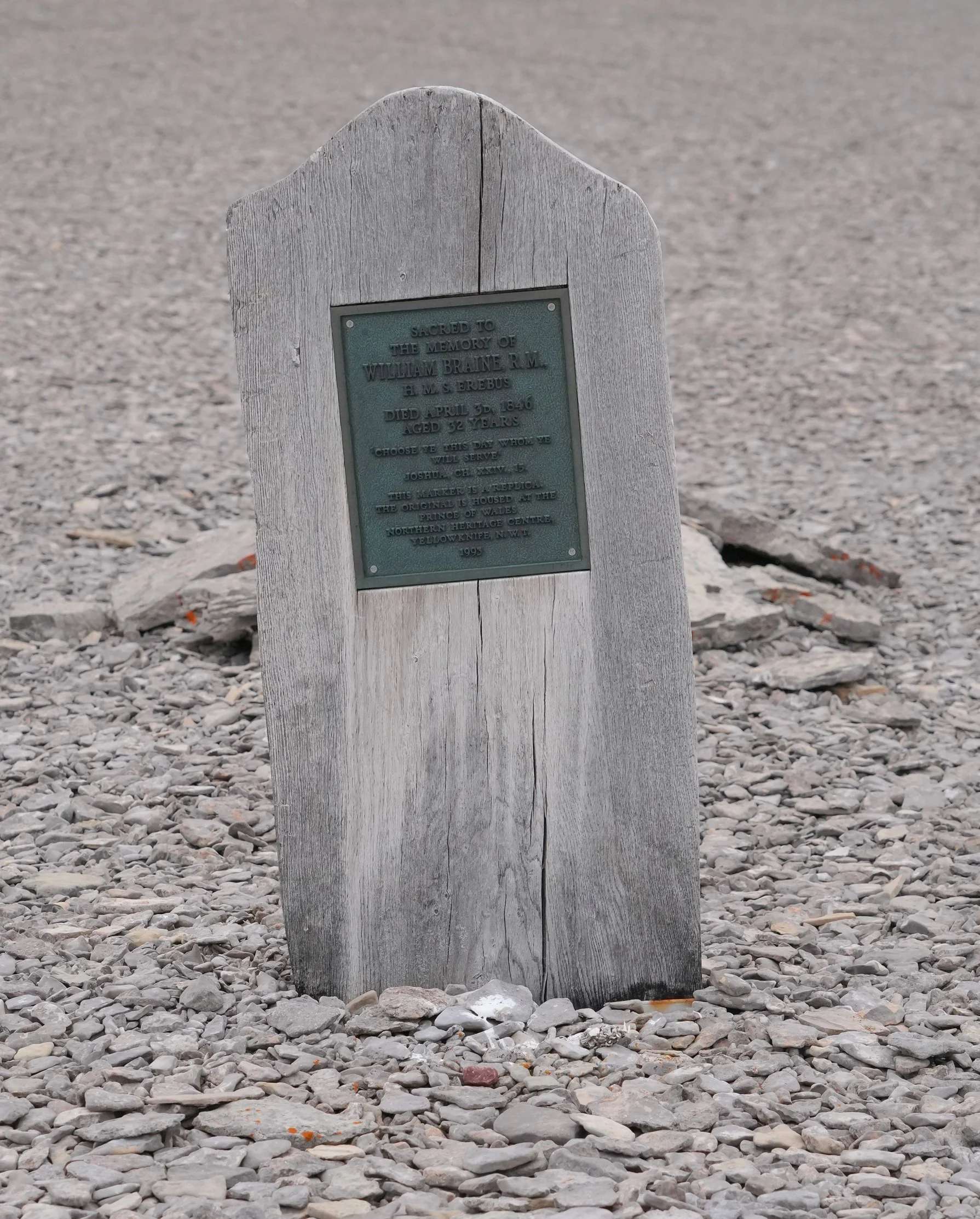
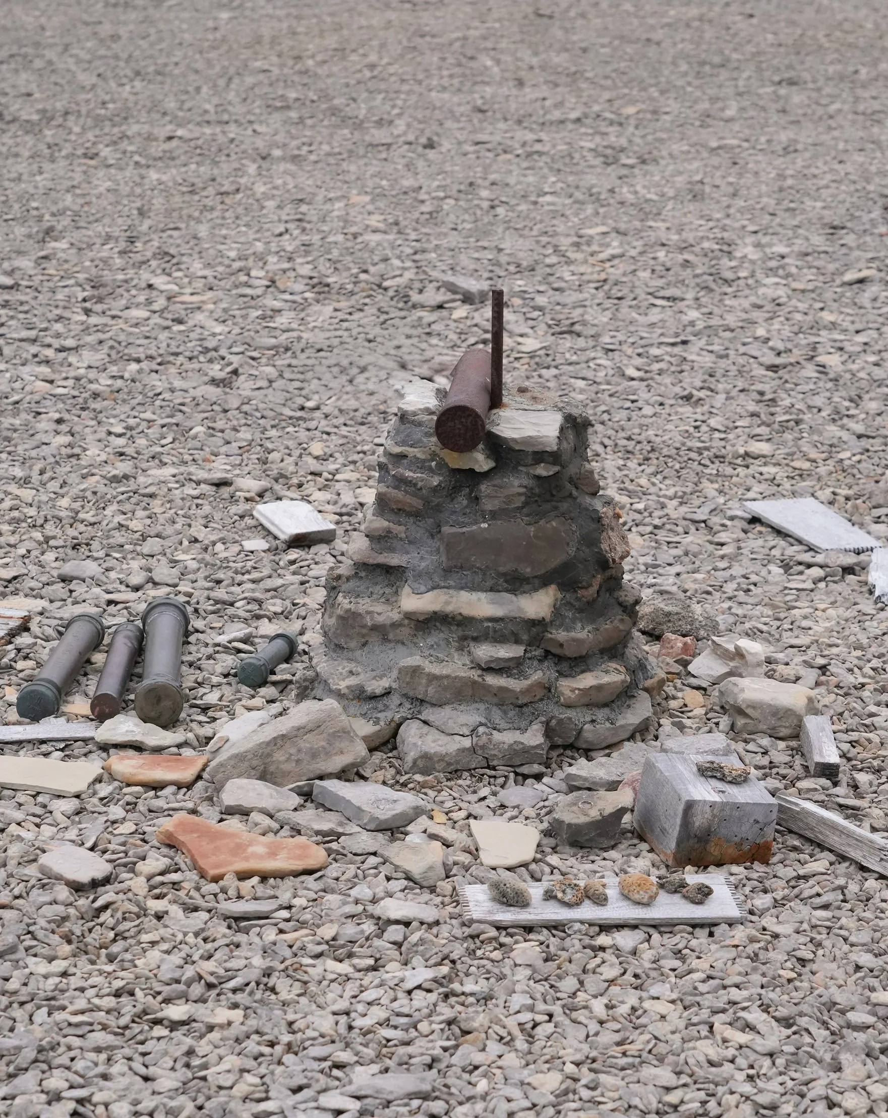

The Northwest Passage - Day 15
Port Leopold and Prince Leopold Island
We’re hoping to get two outings in today, weather willing! This morning, we took the Zodiacs in to shore to Port Leopold and got to hike along the shoreline of the northeastern edge of Somerset Island. It was a beautiful spot! There’s an old Hudson Bay Trading Company building still standing there, close to the shore. There are 500-year old stone circles where the Inuit camped when they came to trade furs.
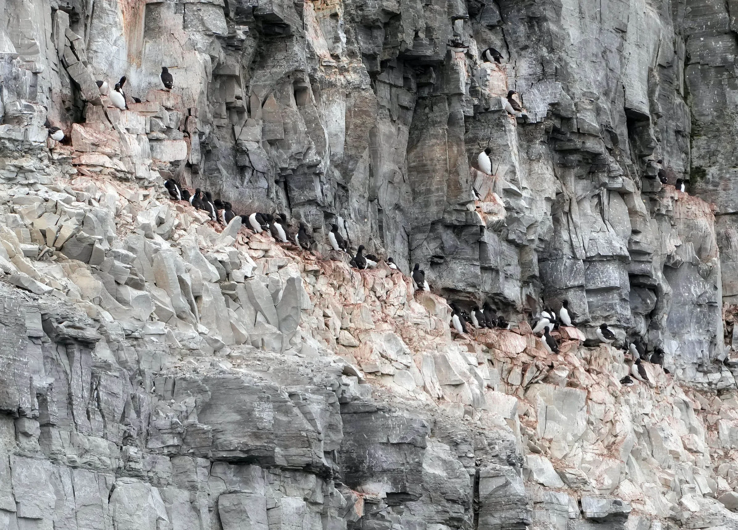
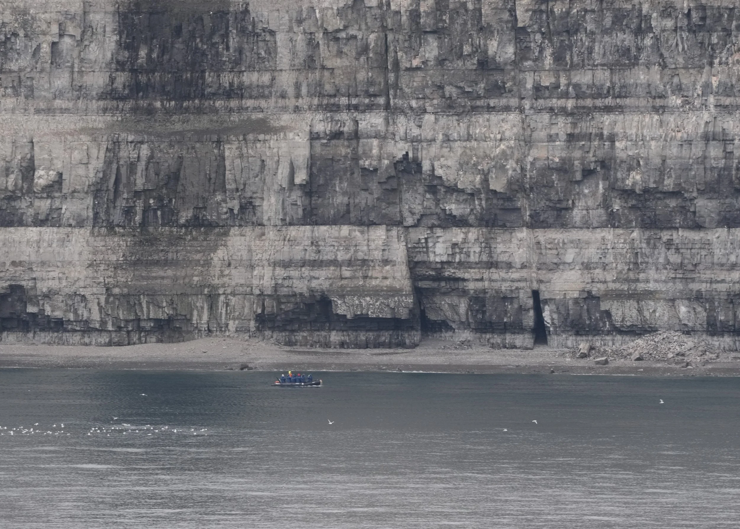
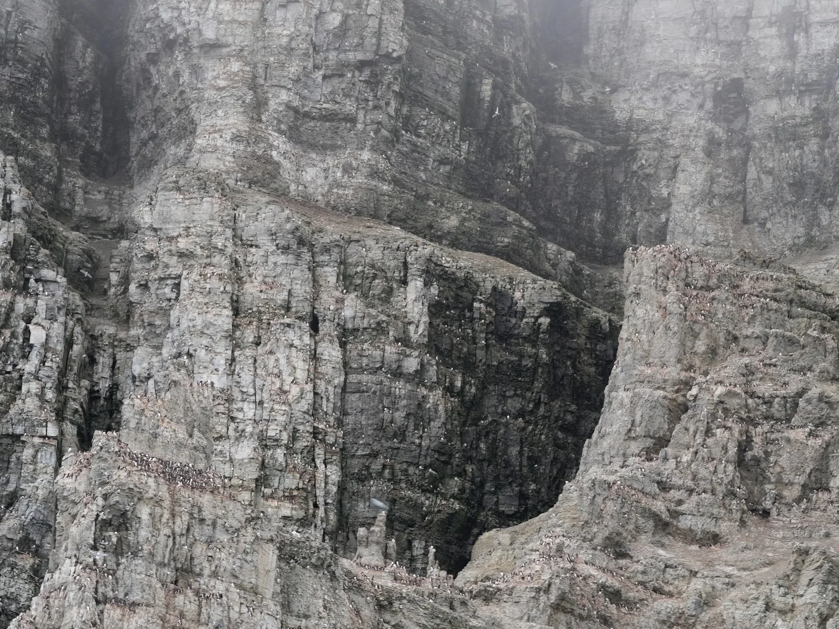
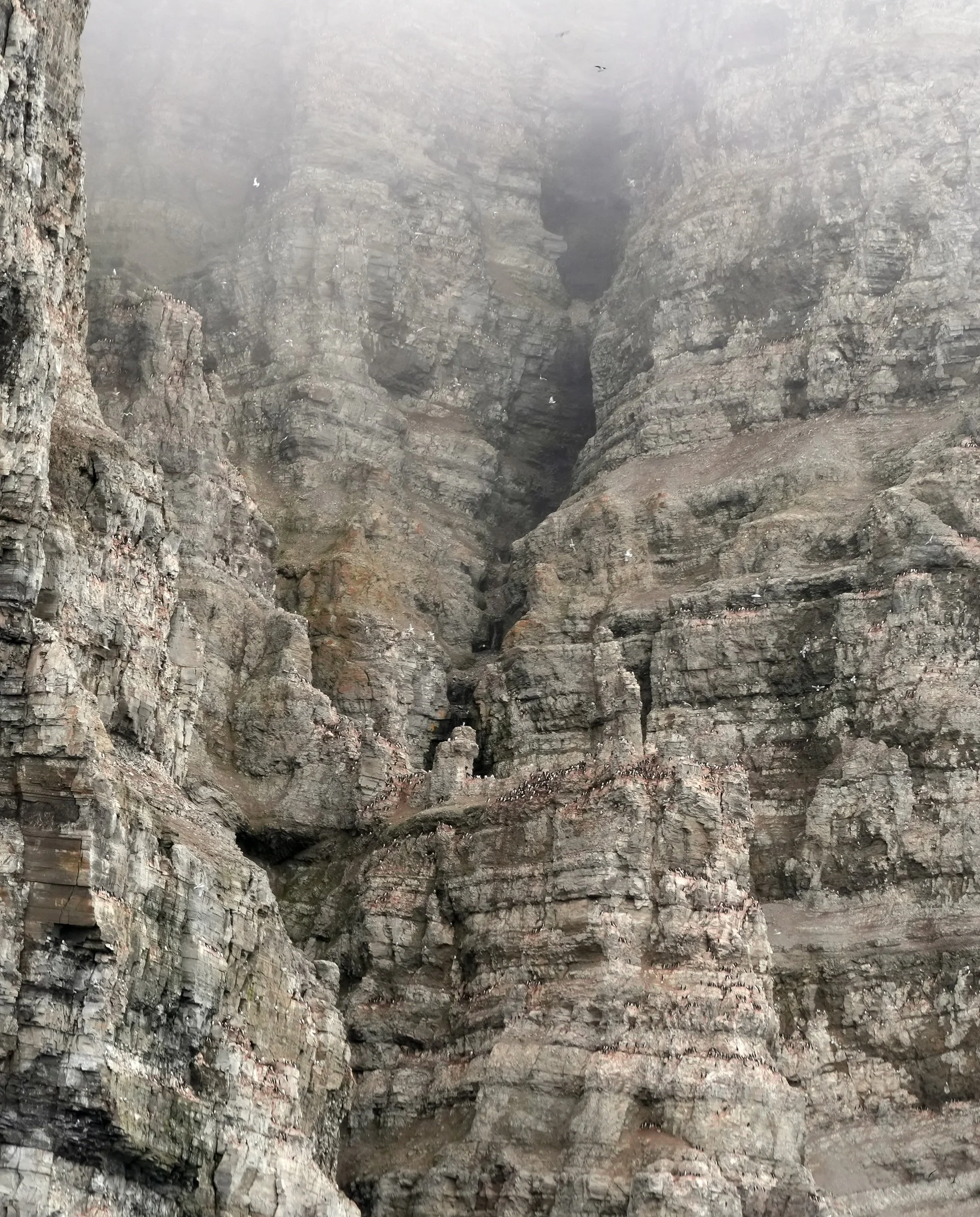
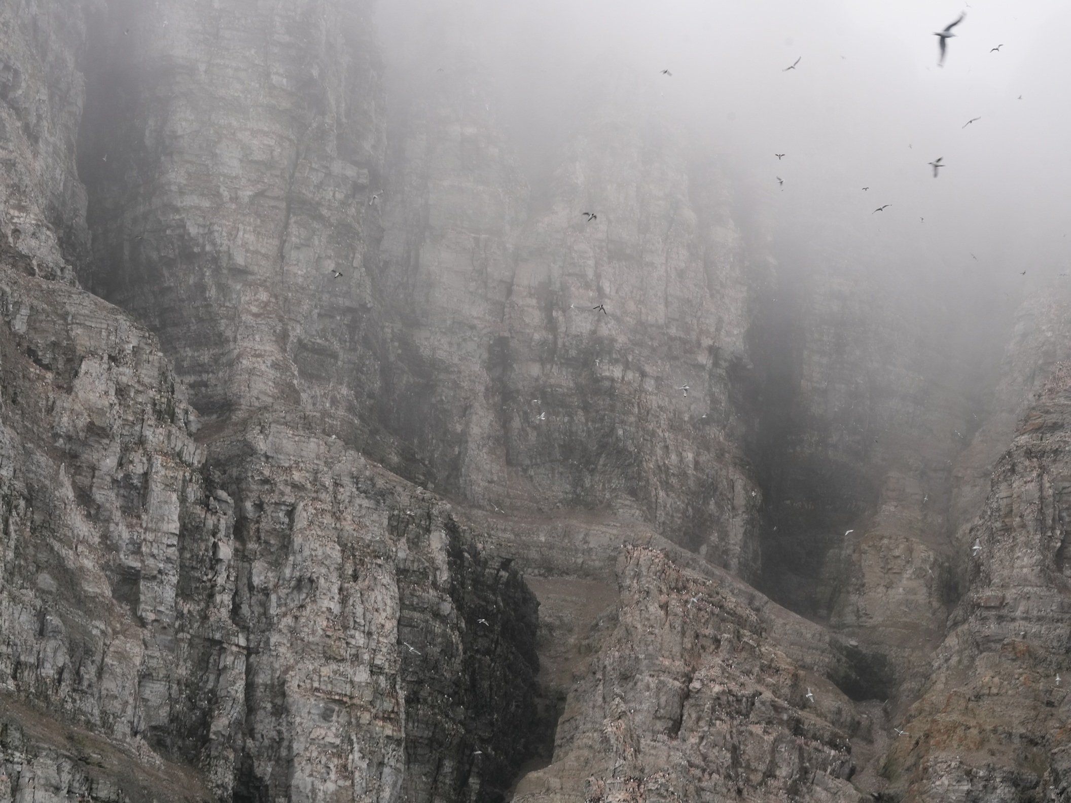
The ship also got a rare permit to take the Zodiacs out around Prince Leopold Island. This is probably the top birding spot on the trip. There are high cliffs with Fulmar, Guillemots, Murres, and many more birds flying near, as well as birds and other wildlife along the shoreline. I’ve really been looking forward to this stop, but have been a bit worried this afternoon because we’ve been traveling in heavy fog for a couple of hours. However, now that we’re getting closer to Prince Leopold Island, the fog seems to be dissipating! Fingers crossed that all of our groups get to go out in the Zodiacs and get some great sightings!
It’s hard to believe how many birds I’m already seeing flying near the ship or floating in the water nearby! I’m also seeing some ice floes that are much larger than the ice we went through before! There aren’t many of them yet but they are certainly attention-getting! It’s very cold out this afternoon – only a few degrees above freezing – so the Zodiac trips are going to require even more layers than usual. It’s going to be chilly but very worth it!!
Later: The Zodiac trips along the shore were amazing! We were looking up at the cliffs full of birds! The cliffs are about 850 feet/250 meters high. We actually couldn’t see the top because it was lost in the fog above us! The sound of the birds was incredible! Mostly, we saw Thick-billed Murres (some countries call these Guillemots), and lots of Black-legged Kittiwake and Northern Fulmars. What a fun day! (Do I write that every day?) 😊




The Northwest Passage - Day 14
Fury Beach, Somerset Island
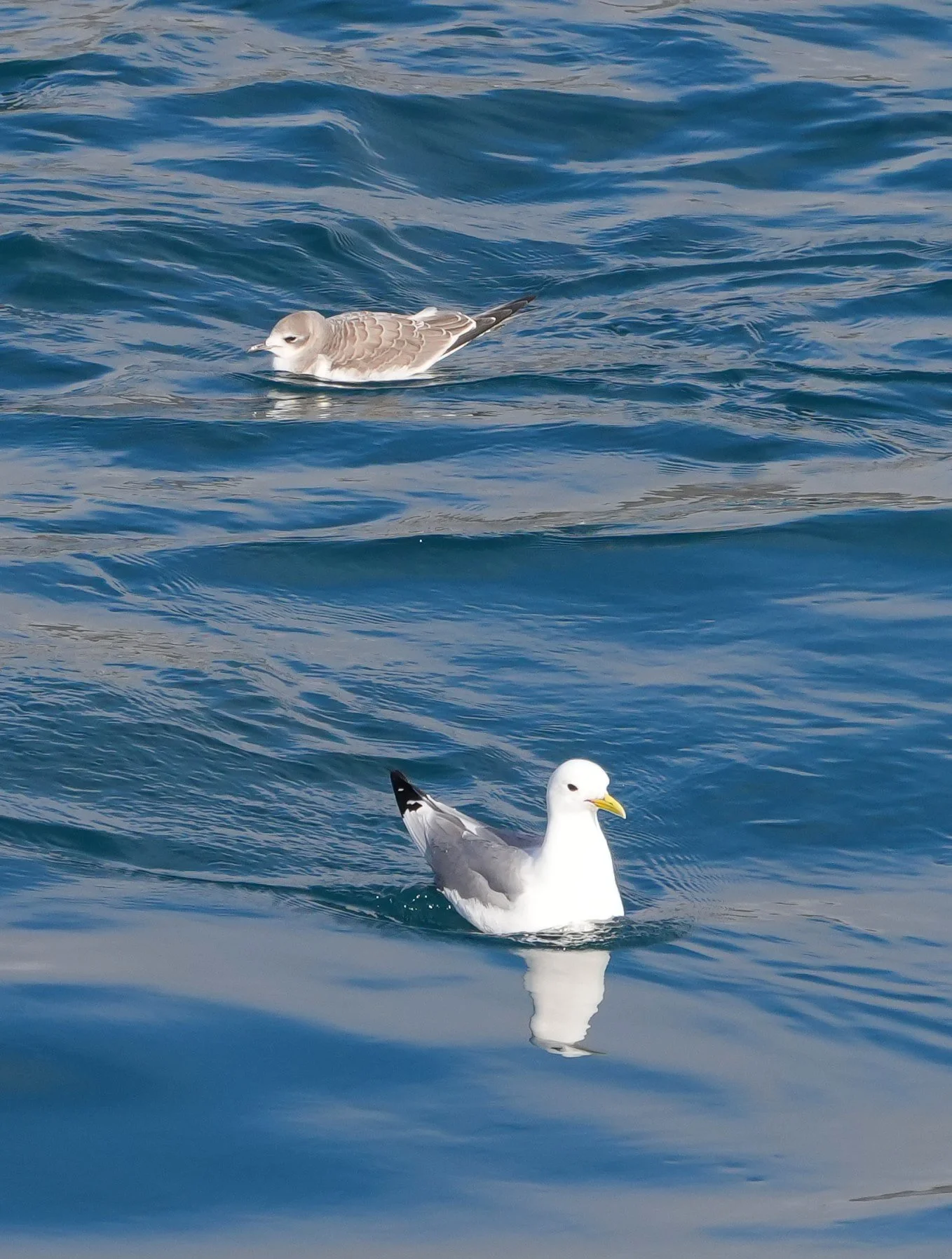
What a busy day we had! Our first event was a shore trip on the Zodiacs to Fury Beach, which is located on Somerset Island. I decided to stay onboard. My feet were a bit sore from walking in soft sand in our 6 pounds of Muckboots (3 lbs per boot!), and I was having a lot of fun watching and photographing a huge group of Kittiwakes floating in the water around the ship. Kittiwakes are such pretty birds! They were landing in the water and then dunking their heads under and coming up with something called a sea angel (it’s a tiny sea slug – gee, yum!). I also saw a new bird for me – a Sabines Gull. It was a juvenile, so I asked some passengers who are bird experts and they confirmed it. Another lifer!
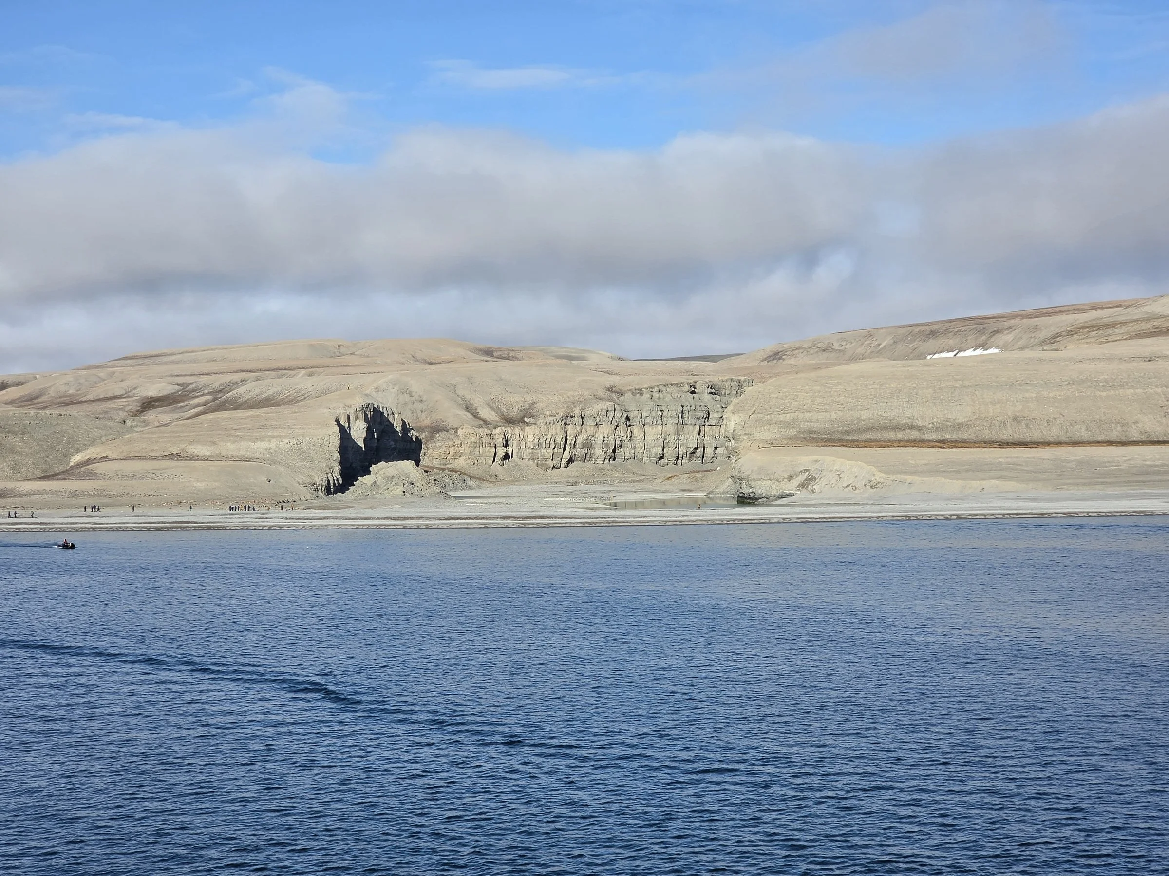
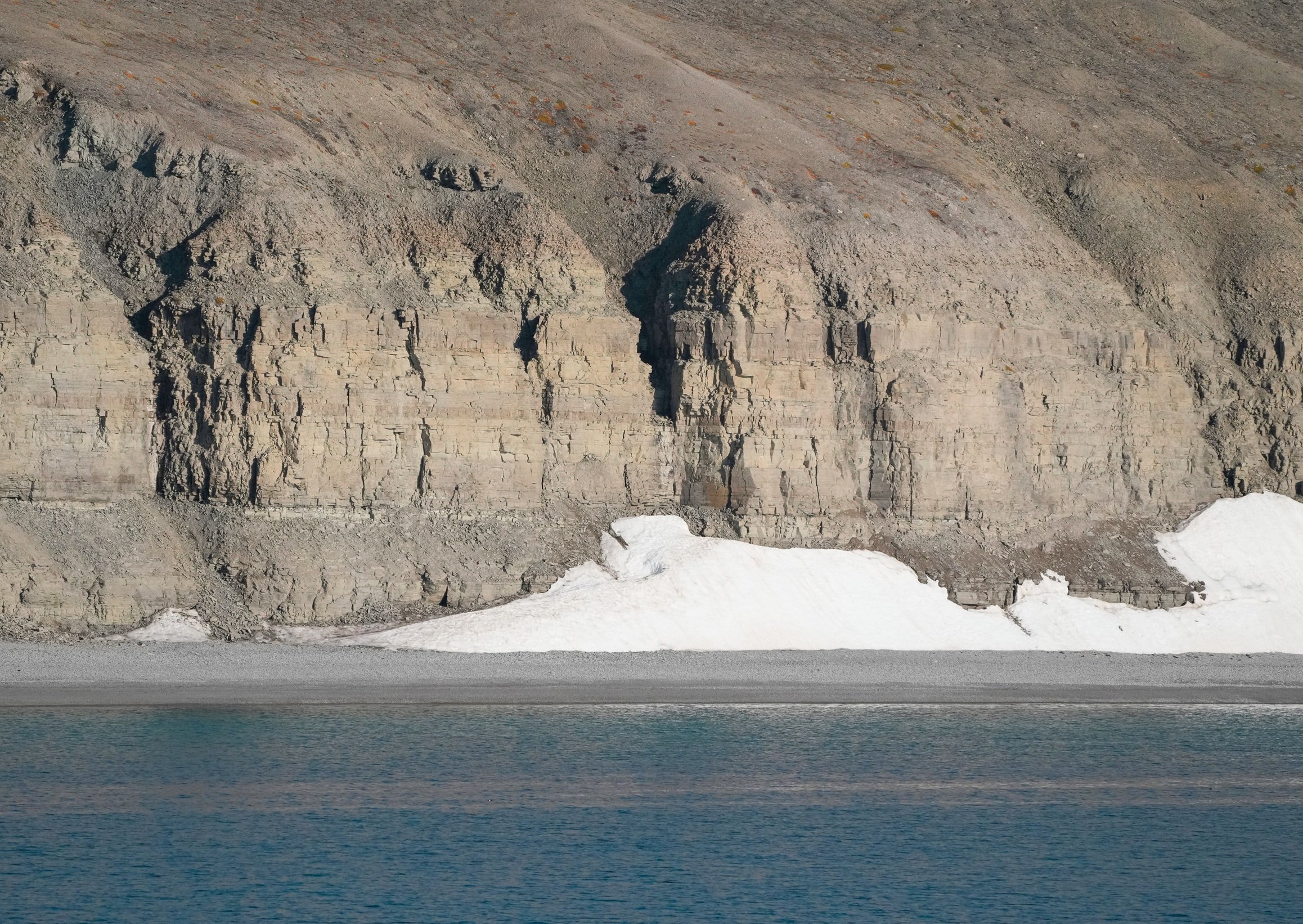
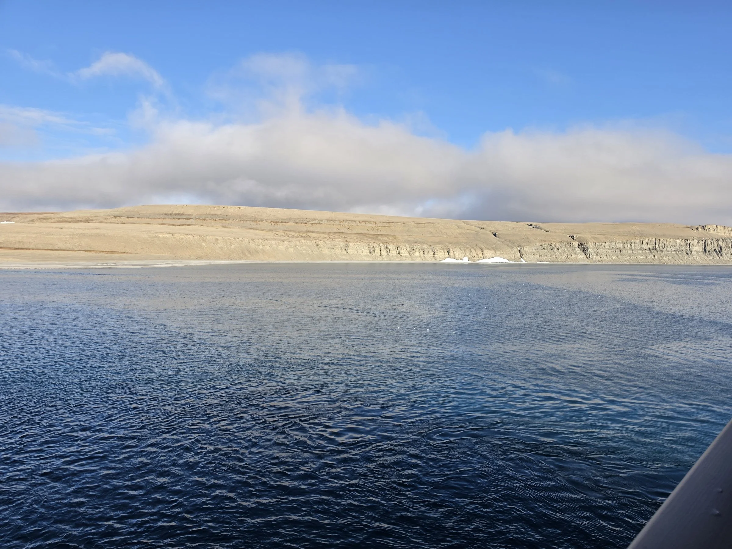
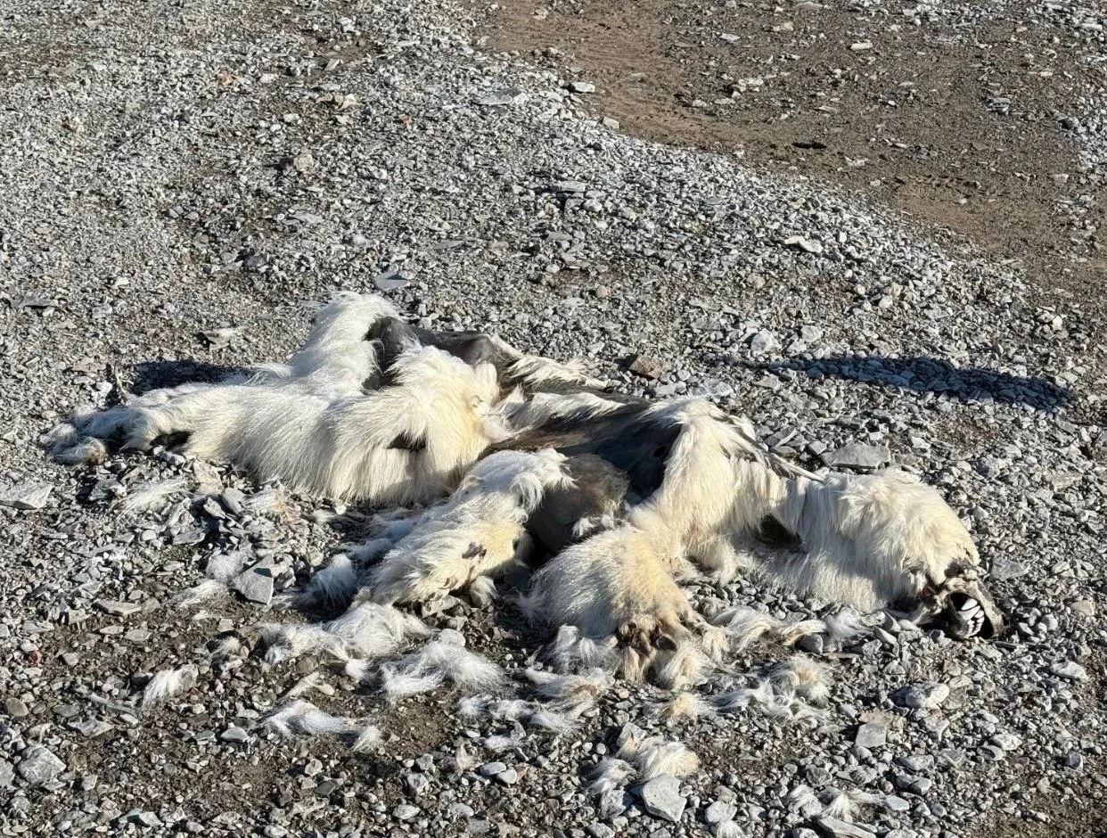
Fury Beach was very beautiful from the ship! There were high cliffs that slanted into lower hills along the shore. My friend Peter went ashore and showed me photos he took of some old tent circles made by stones. The most interesting find, albeit a sad one, was the carcass of a 2-year old polar bear cub. The naturalists said it was most likely killed by an adult polar bear. I guess it’s similar to lions and leopards, where a male will kill cubs that aren’t his so he can soon mate with the mother, resulting in his offspring potentially surviving instead of the offspring of other males.
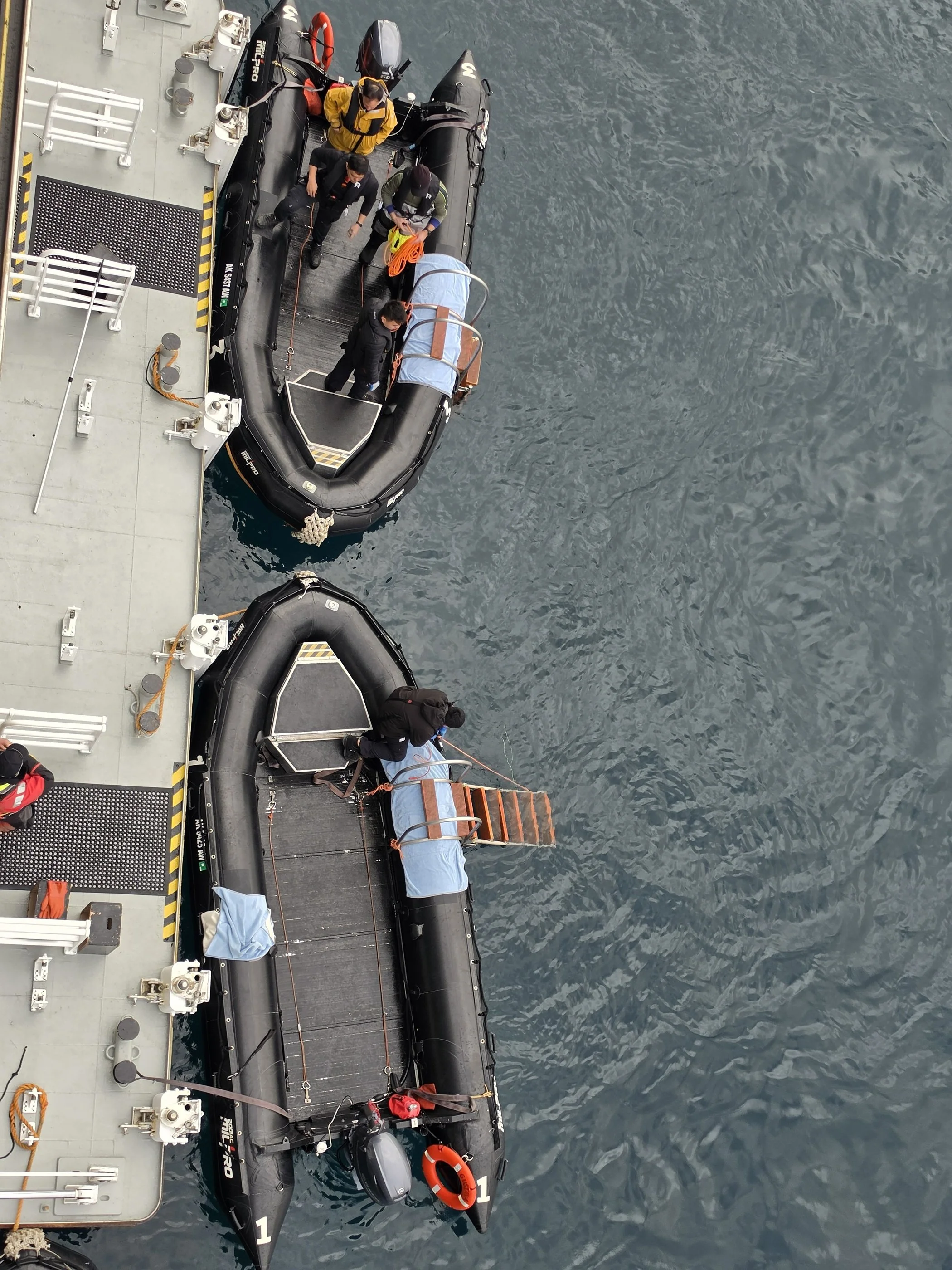
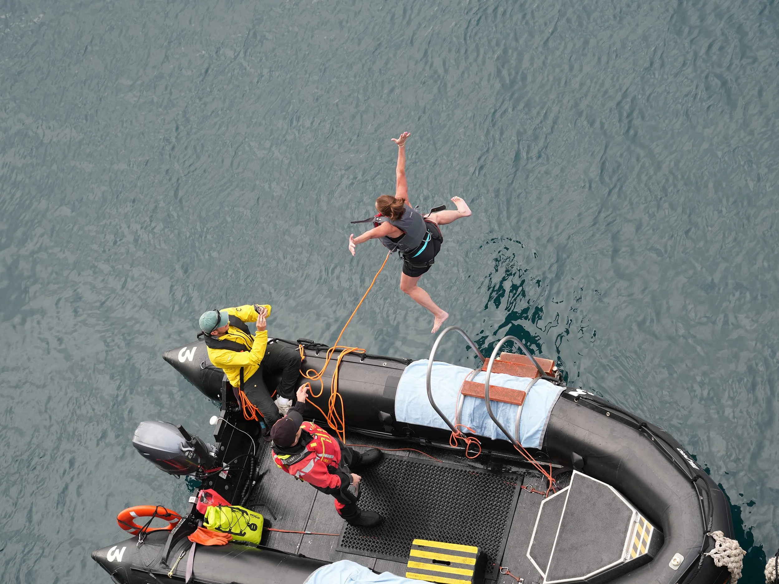
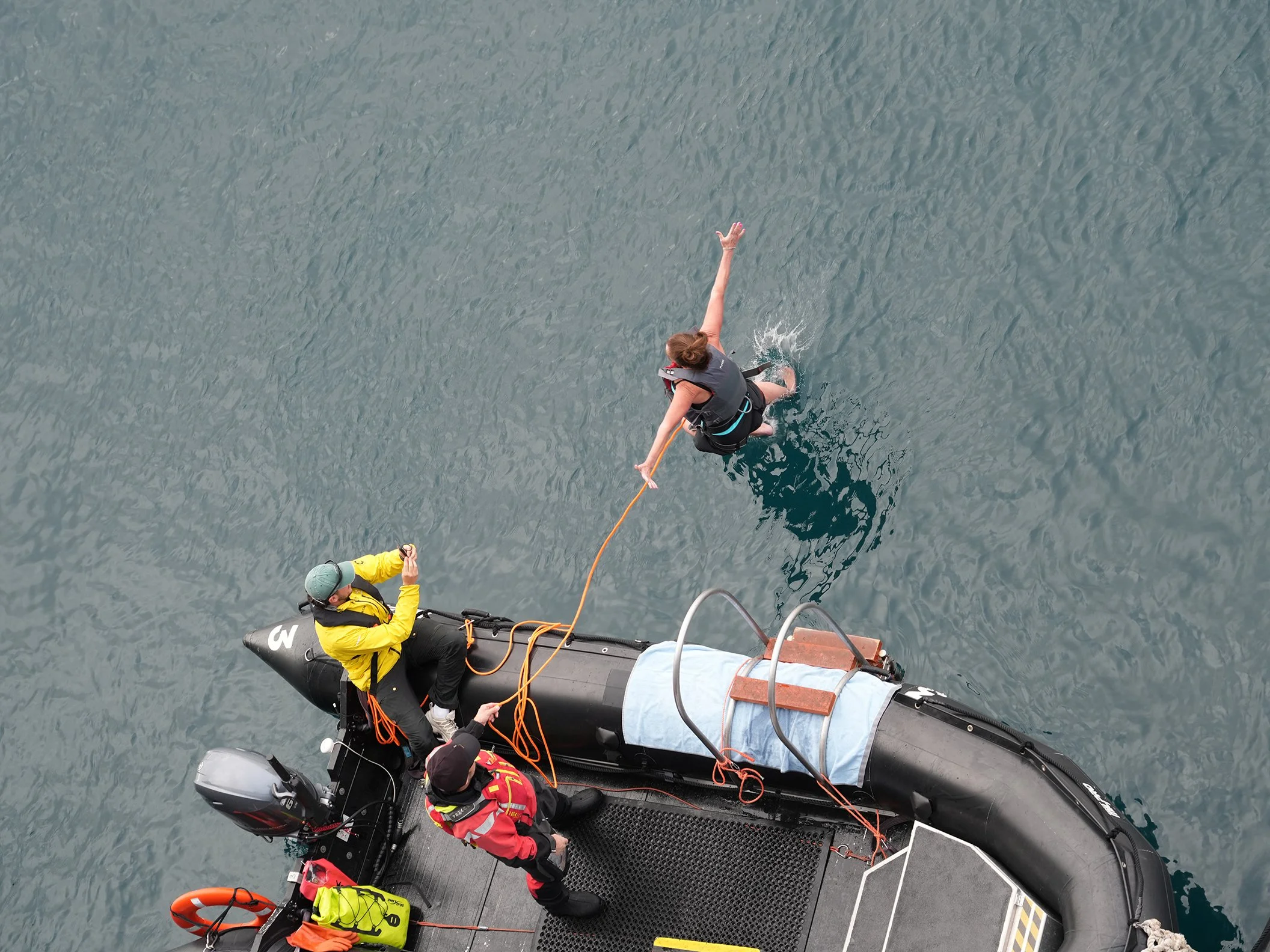
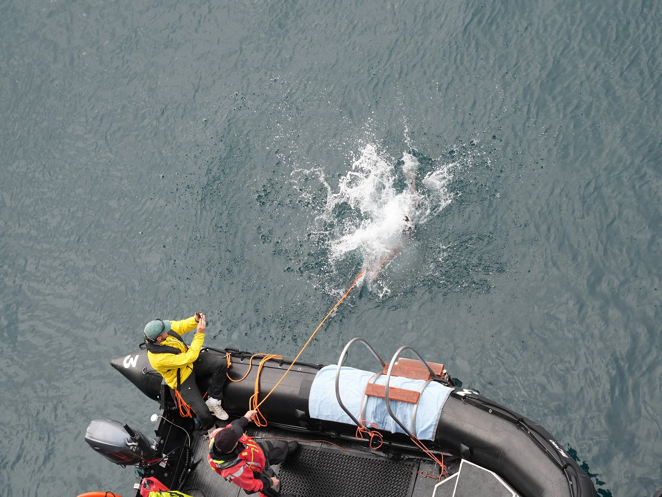
After everyone returned to the ship, an announcement went out that it was time for the polar plunge! Anyone who wanted to jump into the 4 degrees Celsius (39 degrees Fahrenheit) water was welcome to go to the Zodiac loading area and take their turn. (NO, I did not participate!) I swear, I have the best cabin on the ship! Lucky me, all the action was happening right below my balcony. I decided to take photos of every jump. What fun! A lot of people took the plunge! I was amazed to only hear one cuss word during the whole event! (LOL!) I talked with the ship’s photographer and he’s going to take the photos and make them available to anyone who wants to download them, so I hope they give people a nice reminder of their insanity bravery.
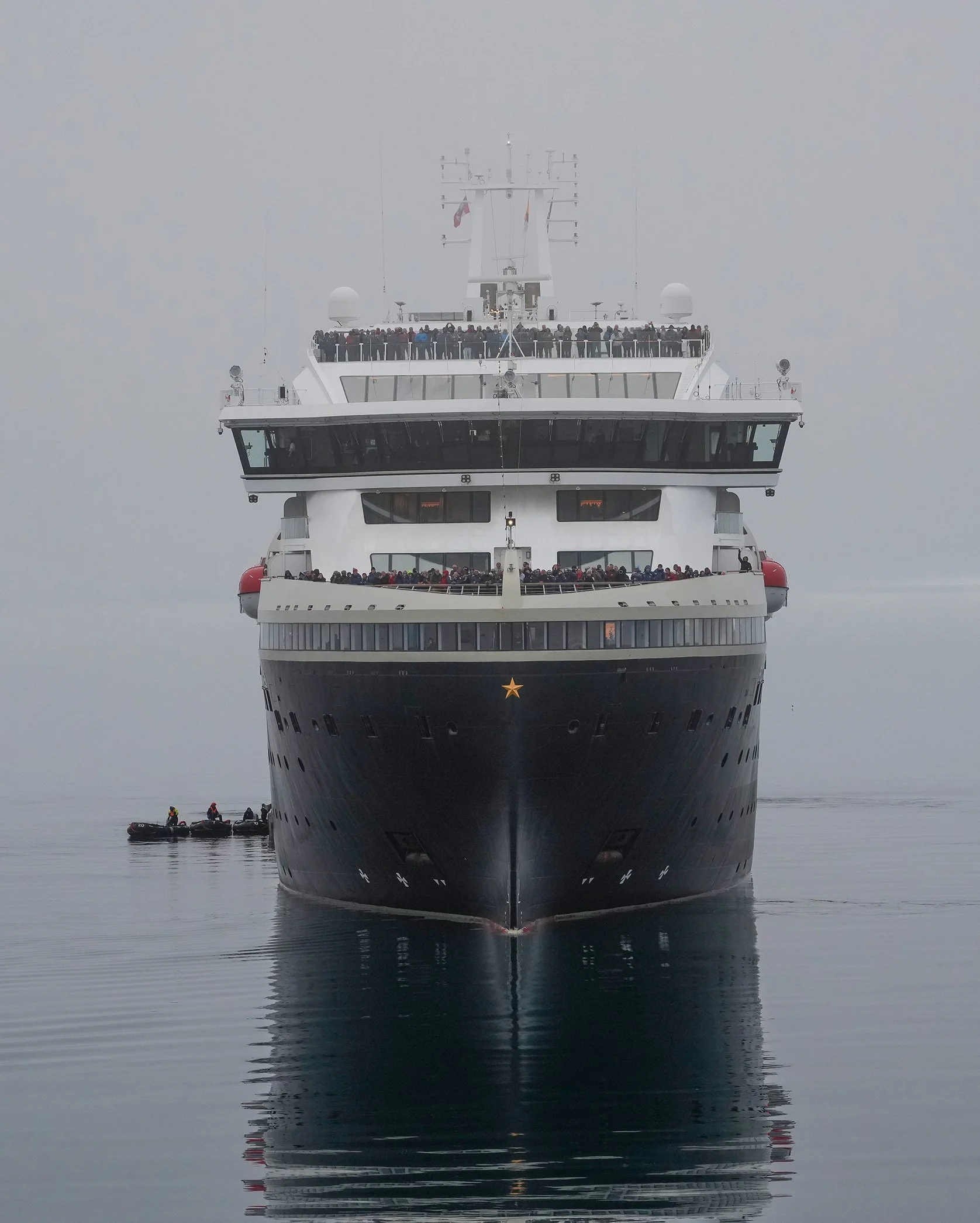
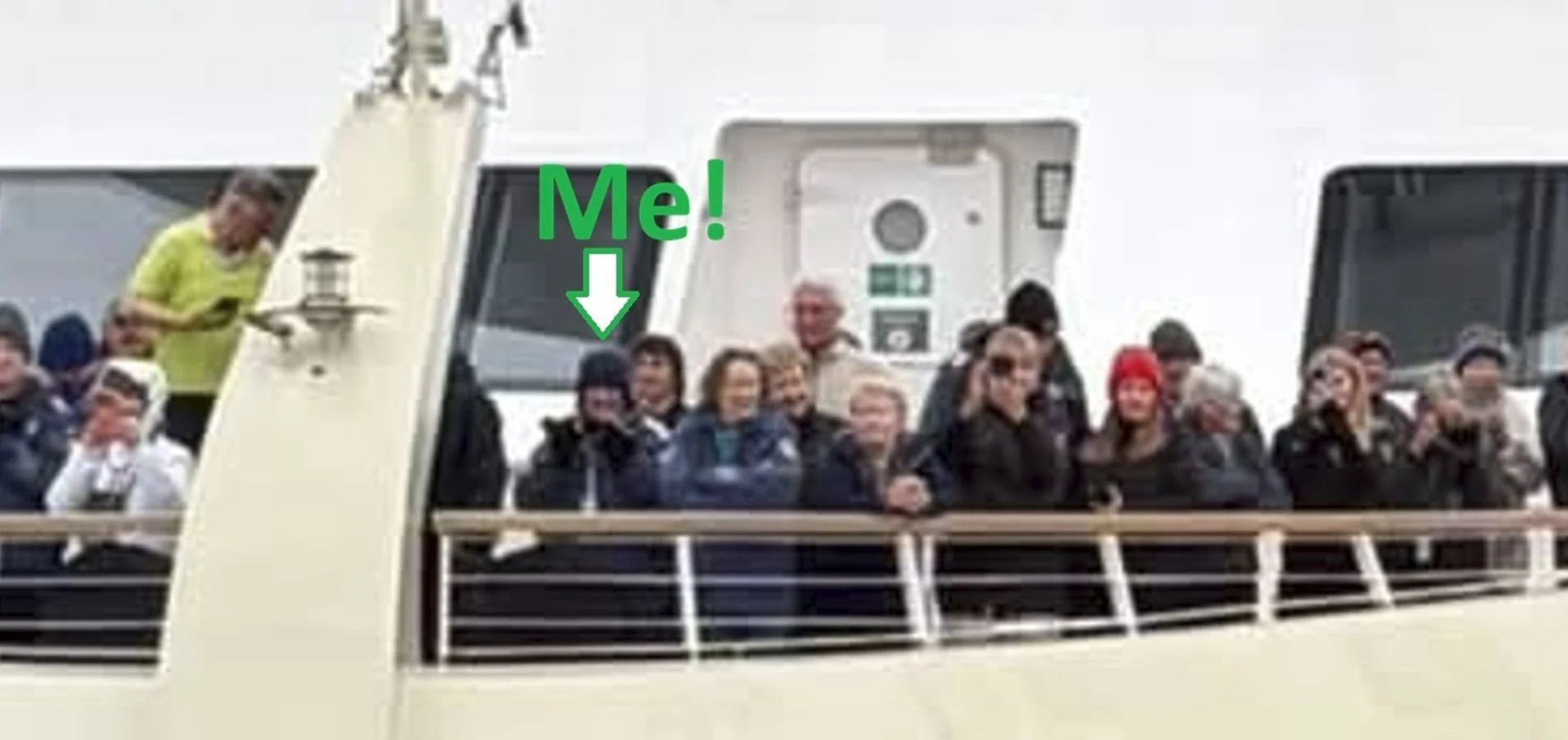
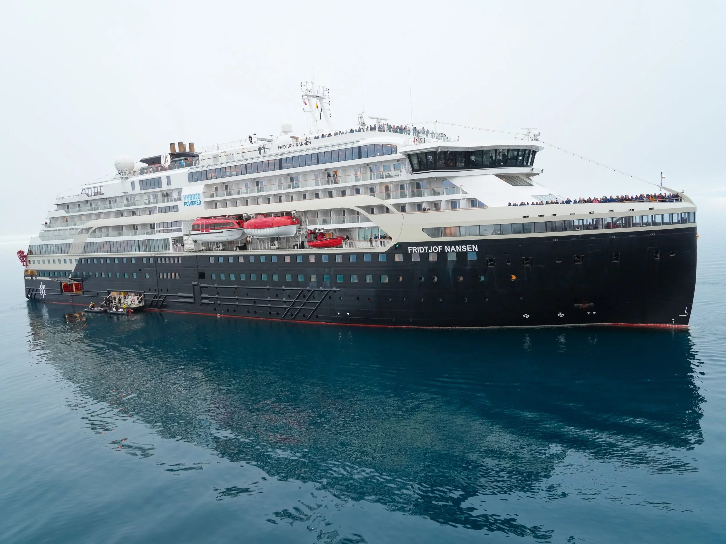
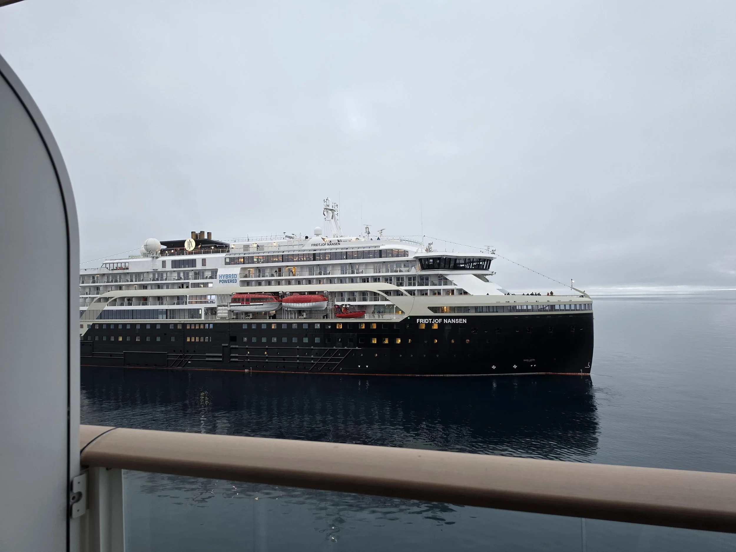
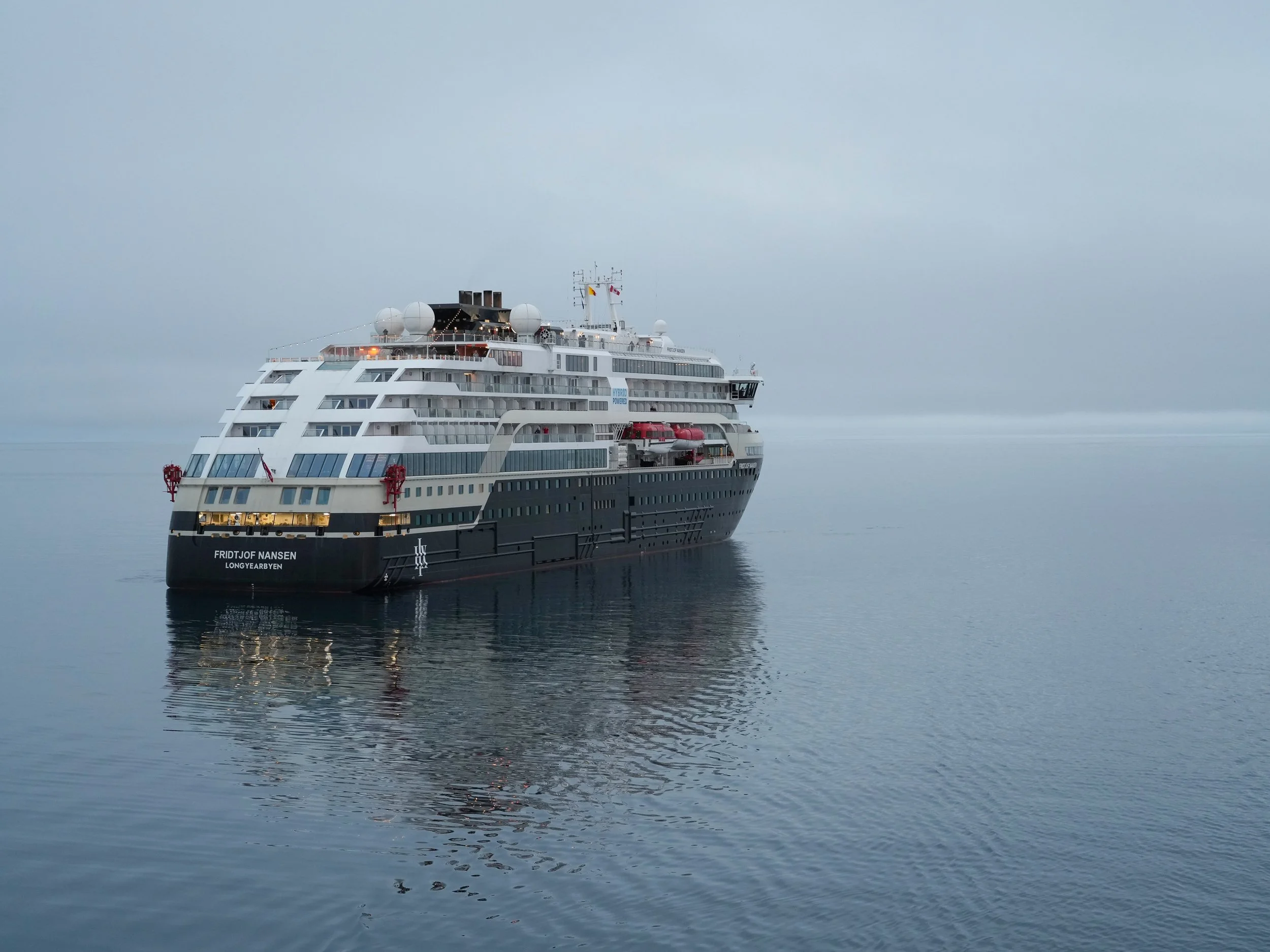
As we got under way in the early evening, our sunny skies turned gray and misty as a thick marine layer settled in. About 8:30, word came over the announcement system that in 15 minutes, we would be meeting up with our sister ship, the MS Fridtjof Nansen. I abandoned my dinner and ran to put on warm clothers and grab my camera, and then I headed up to the Observation Deck, just in time to see the Nansen emerge from the fog ahead of us. The Nansen is also traversing the Northwest Passage, but going in the opposite direction. It left Greenland shortly after we left Nome. When the ships meet on this voyage, they greet each other by reducing speed and coming very close together, bow to bow. We’ll learn sometime on the trip how close we got to each other, but it was very close! (I know: I was standing right at the bow!)
The passengers on the Nansen all came up on deck and formed a huge welcoming party, shouting and waving and calling out to people they knew onboard our ship. Our passengers…stayed at dinner or in the bar. LOL We got so smoked in the ship spirit department! I think there were about 50 of us on the Observation Deck, doing our best to represent! 😊
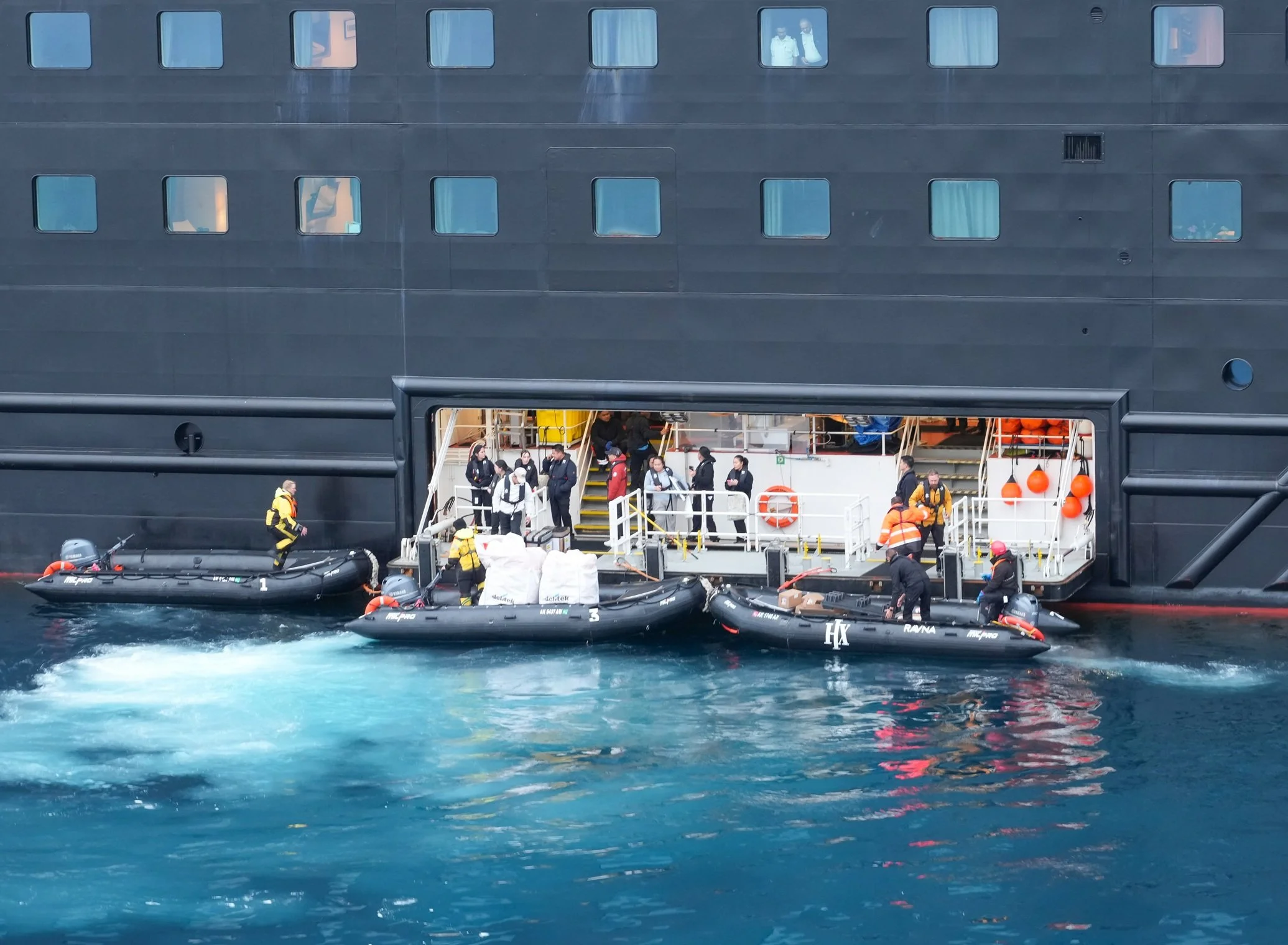
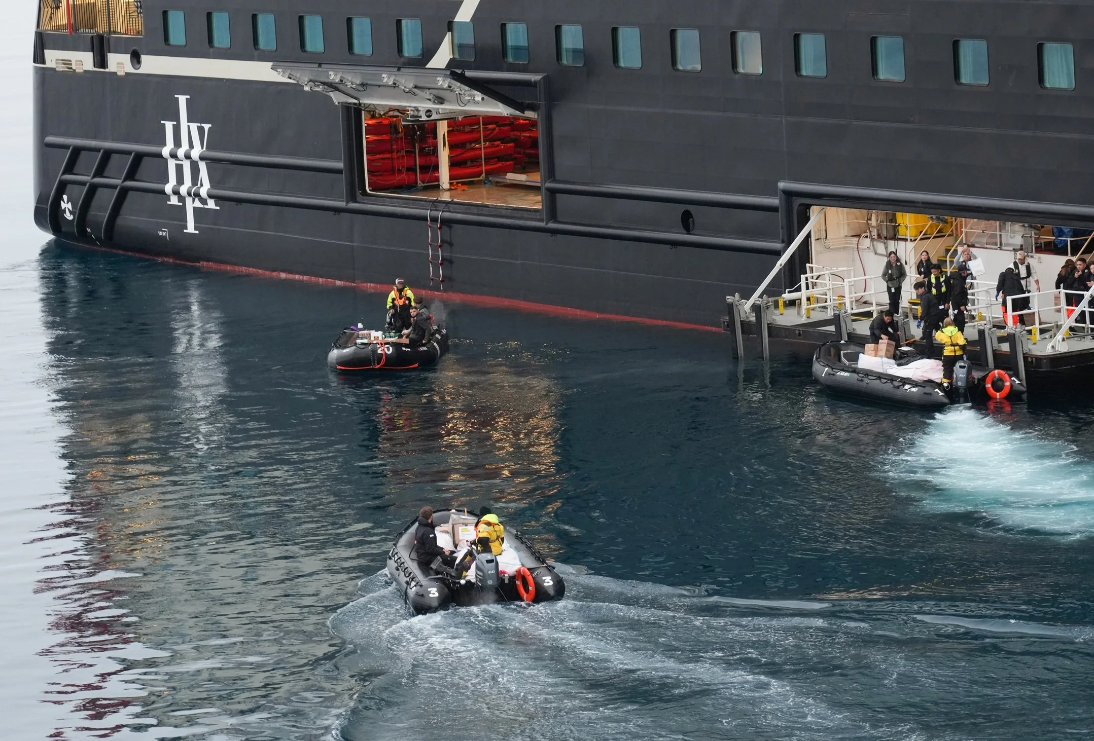
The ships’ meeting is also a resupply opportunity. If one of the ships is running low on something the other ship has, it gets sent over. Also, there’s a life jacket swap – something to do with the US requiring different life jackets, which the Nansen will need when they reach Alaska. Both ships stopped and put Zodiacs in the water and the exchanges began. I heard that we got whiskey and Perrier, and the Nansen got a waffle maker because theirs was broken.
When the ships started up again, I was in my cabin, and was treated to the amazing sight of the Nansen quietly gliding past my balcony and heading off into the foggy night. I wished her fair winds and following seas – and polar bears!
Photo Notes: (one day I’ll learn how to add captions to photos on this site!)
The bird in flight is a lovely Black-legged Kittiwake. The bird that isn’t a Kittiwake is a juvenile Sabines Gull. I got one photo of both types of birds together.
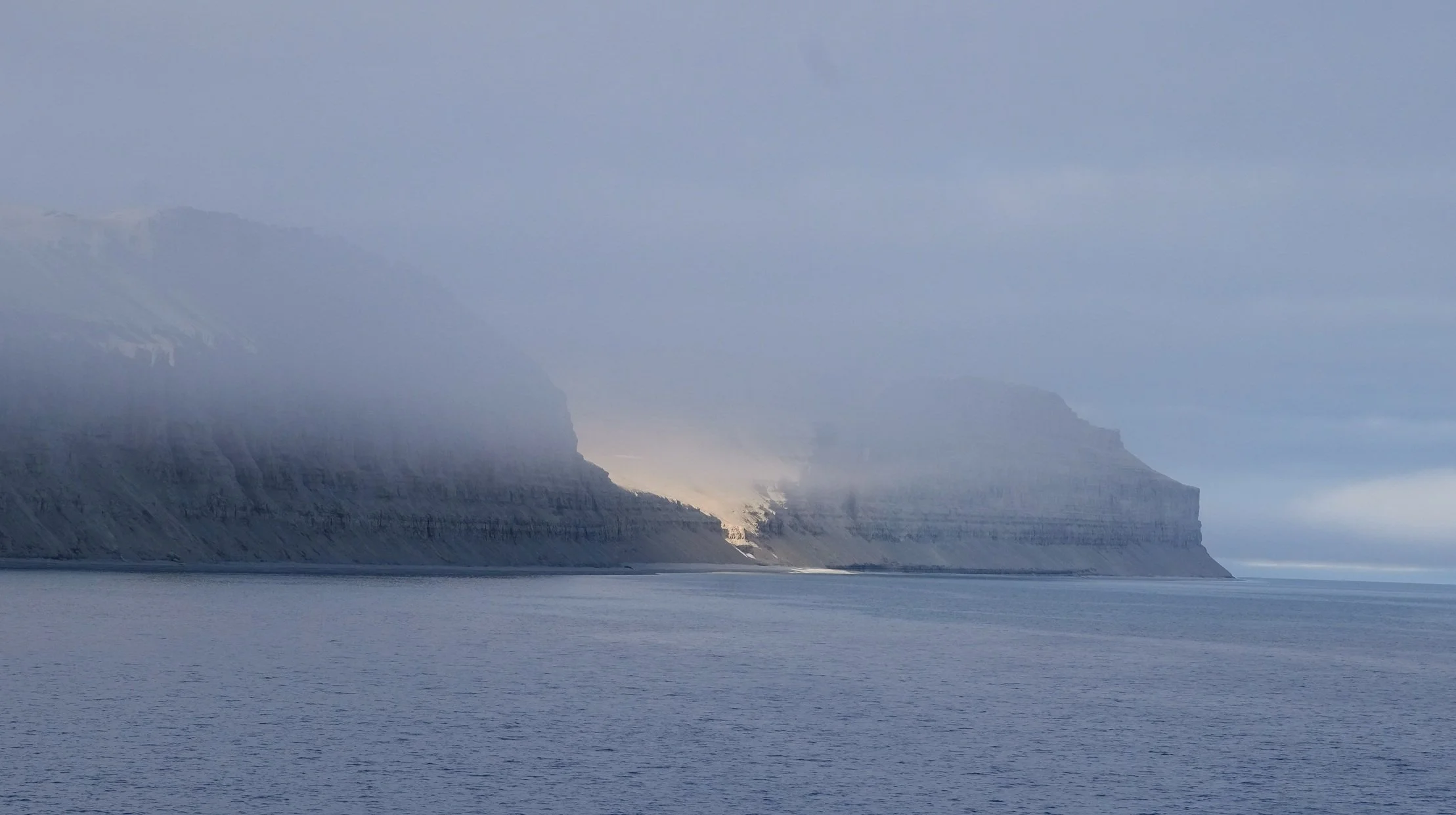
All the land photos are of Fury Beach.
The photo of the remains that were once a polar bear is courtesy of my friend Peter.
All the ship photos are of the Fridtjof Nansen except one. There’s a photo of our bow, and I’ve drawn an arrow pointing to myself standing there as the ships passed each other. The photo was posted on Facebook by a passenger on the Nansen. I also took photos of the Nansen passengers on deck and posted those, so maybe Nansen passengers can find a photo of themselves there!
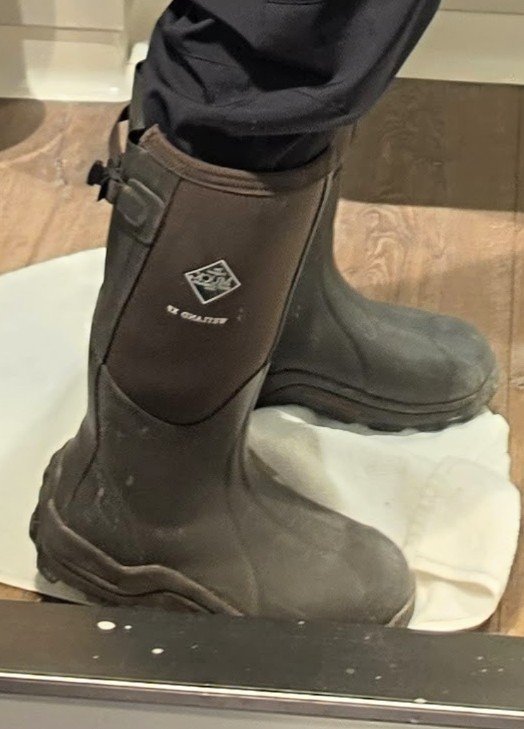
I included a shot of my heavy but much-appreciated Muckboots.



The Northwest Passage - Day 13
Coningham Bay
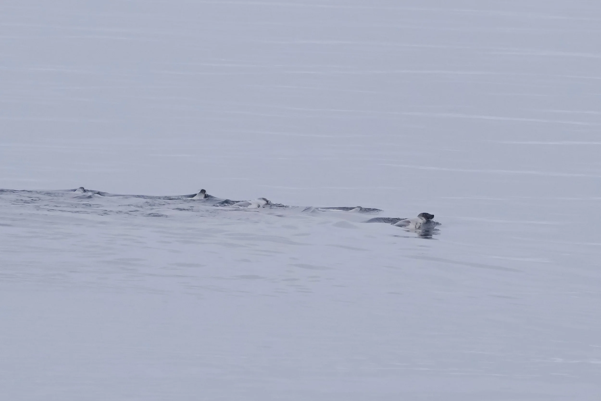
This morning, I woke up to find seals outside! I was so excited to see them! There was a group of 7 swimming nearby and then several smaller groups later on. They were primarily Harp seals, and I also saw one Ring seal. The photos of the Harp seals look black and white – I wasn’t shooting that way but it was overcast and I was shooting into the sun, so they look a bit monochromatic. It’s amazing how brilliant the color of the water becomes when the sun comes out. It goes from steely gray - almost silver at times - to the deepest, clearest azure blue, and it turns turquoise where the ship churns it up.
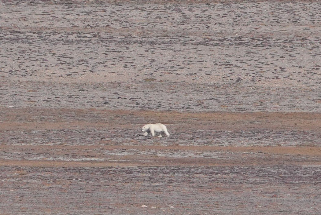
We reached Coningham Bay around lunch time, just south of Prince of Wales Island. Our arrival was heralded by the sighting of a Polar Bear far off on the shore, with Belugas surfacing along the shoreline! Then we realized that there were at least 4 polar bears along the shore. When the ship’s announcement came over the intercom, a lot of lunches got deserted in a hurry! I was happy that I had my camera with me, so I abandoned my salmon, rice, and roasted carrots, and headed outside! I did get a lot of cute-but-grainy photos of the polar bears on shore but am hoping to get better ones when my turn comes to go out on a Zodiac! Only 30 minutes to wait!
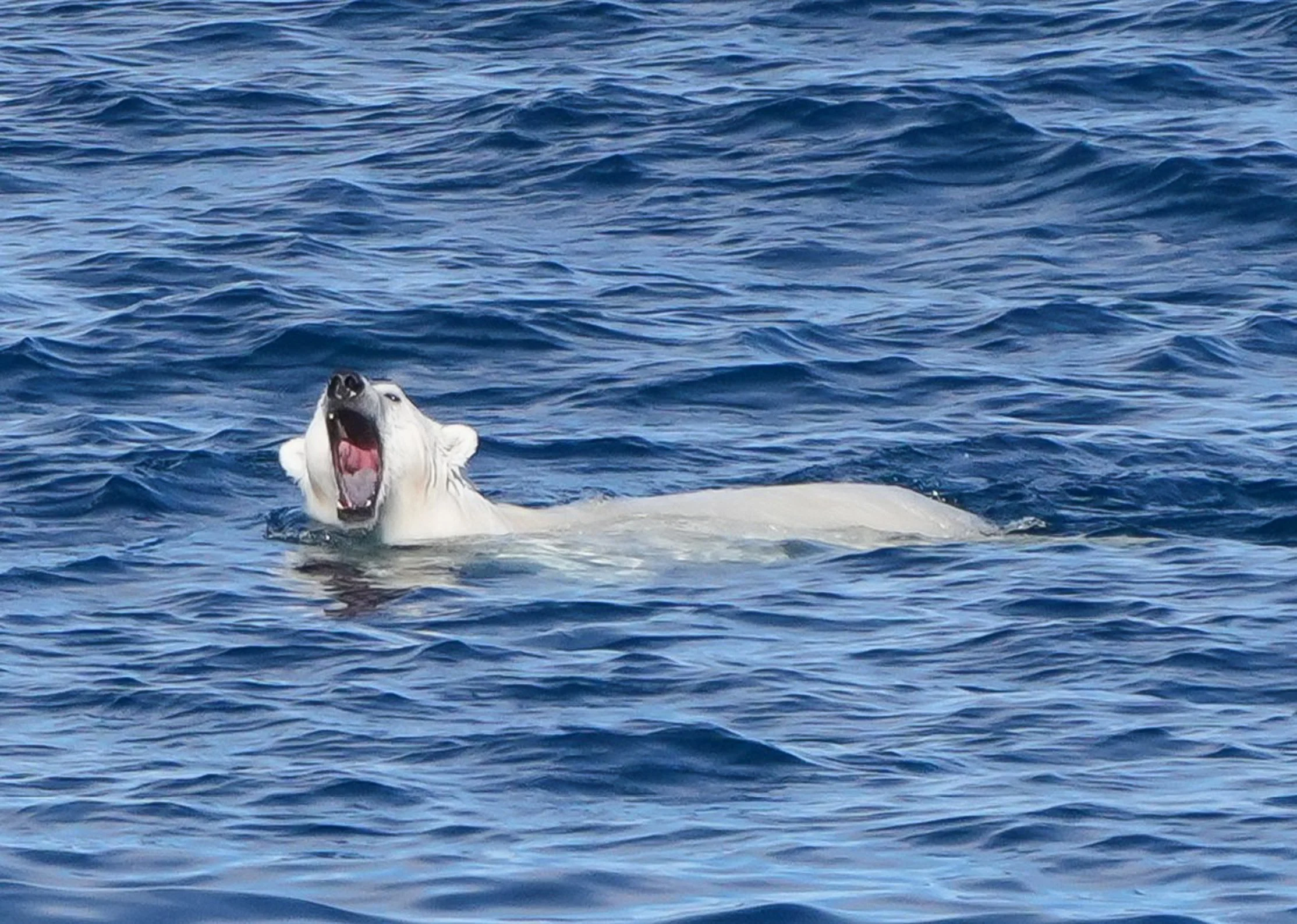
I was happy to discover that my cabin has a perfect view of the shoreline, so I’ve been able to watch the polar bears and whales from my balcony all afternoon (through binoculars). I was out there when a polar bear swam fairly close to the ship and I got a few pictures of him! He really seemed curious about us and not at all stressed. The Expedition Team had gone out in the Zodiacs to scout out the bay and make sure we had a safe route to follow. They were just returning when the swimming bear showed up, so they got a fabulous view! They stopped the Zodiacs an appropriate distance from him, so as not to disturb him, and he eyed them for a while before swimming on. Maybe Zodiacs look like seals to a hungry bear?
We have sunshine, pretty calm water, and low wind, so it should be perfect conditions for a another amazing adventure! I’ll write more after I return!
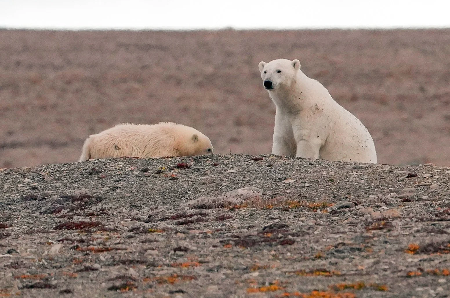
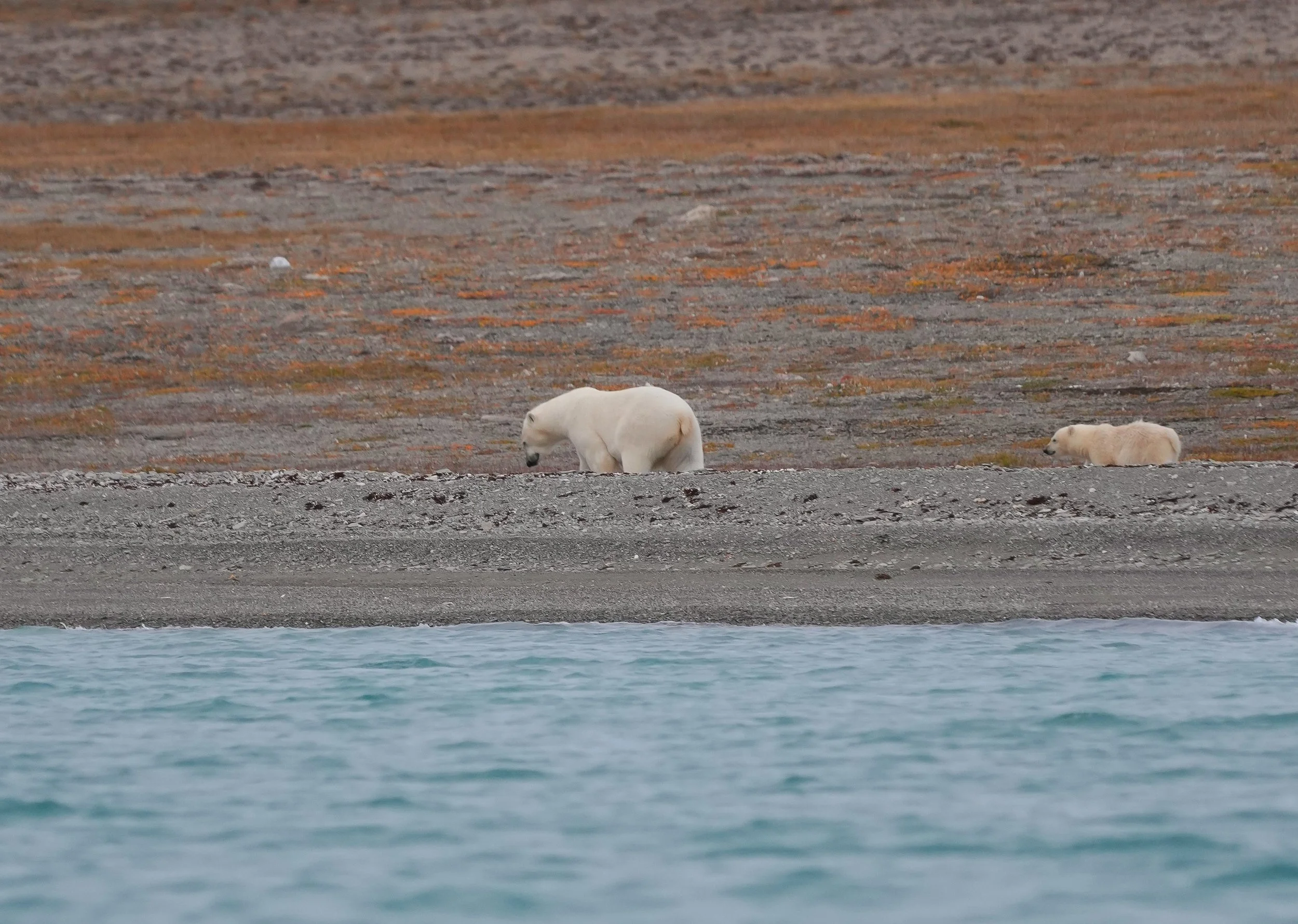
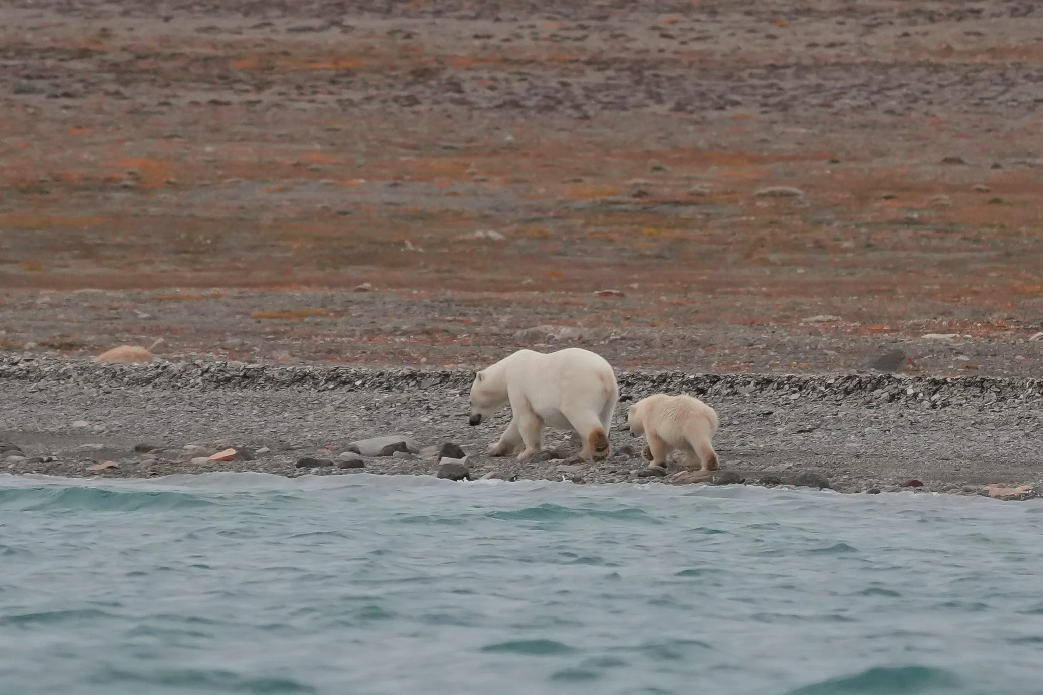
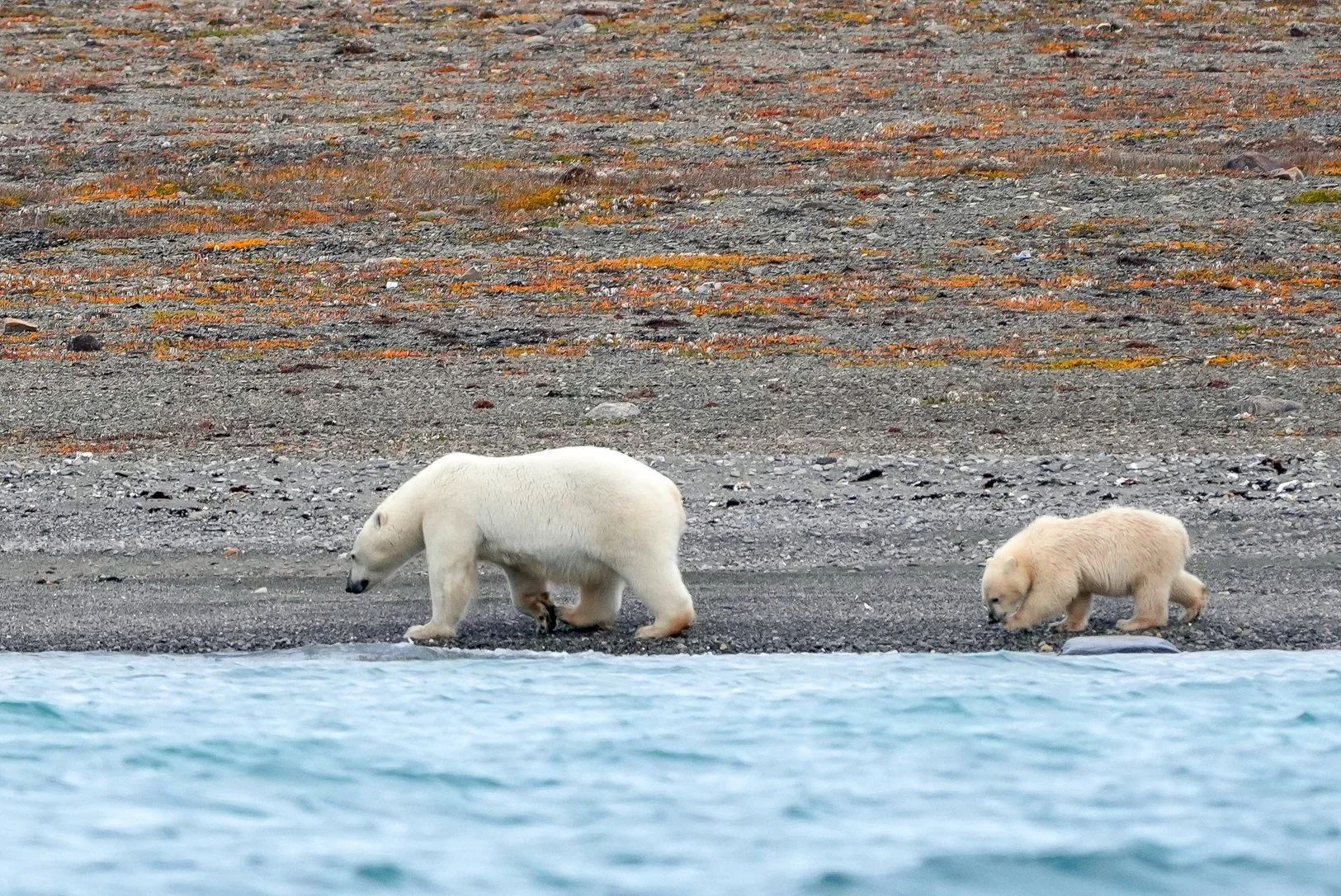
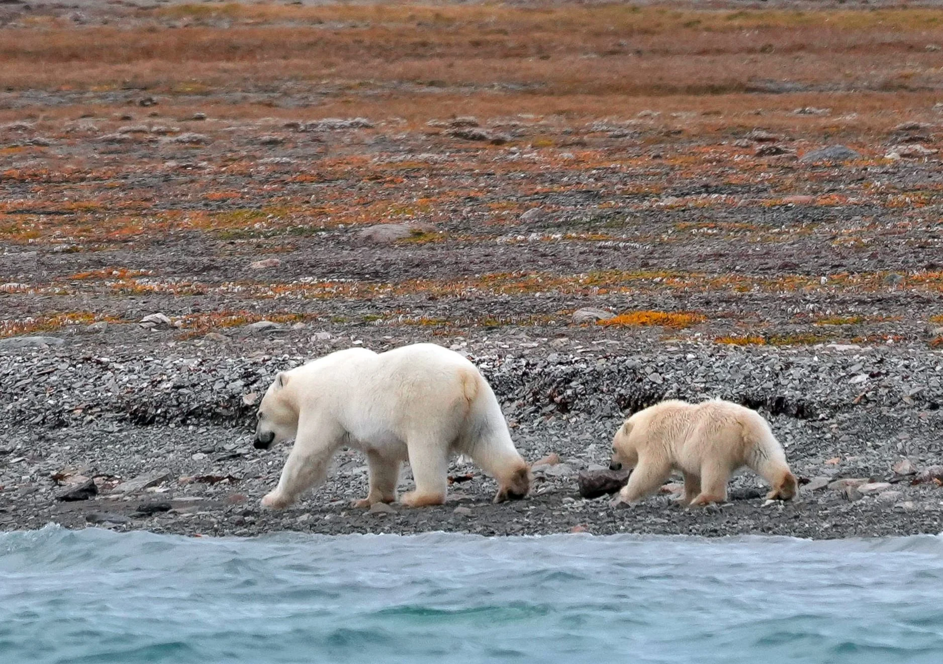
Update from later on: Well, the previous group on our Zodiac had gone all the way up into Coningham Bay but had only seen one polar bear in the distance. So the Expedition team for our Zodiac trip decided to not go into the bay but instead, to go along the shore where a mother polar and her cub had spent the day. We got to spend the whole hour out watching these two polar bears, and that was awesome! The cub was sleeping draped over Mama at first, and then he started climbing around on her. I guess he was telling her it was time to get up. She did, and we got to watch them walking down to the shore and along the beach, once we’d moved off a little ways in the Zodiac. We didn’t see any Belugas so hopefully there’ll be another chance to see them up close later on, but what a day for polar bears!
Tonight, we’ll start the passage through Bellot Strait at about 9:30 (almost there now). It’s a beautiful area and there’s lots of wildlife there. We’re going to lose what’s left of the light fairly soon but hopefully we’ll get to see a bit of the strait before it gets dark.
Photo Notes:
The second photo is the Ring Seal. He was splashing so you don’t see his head at all.
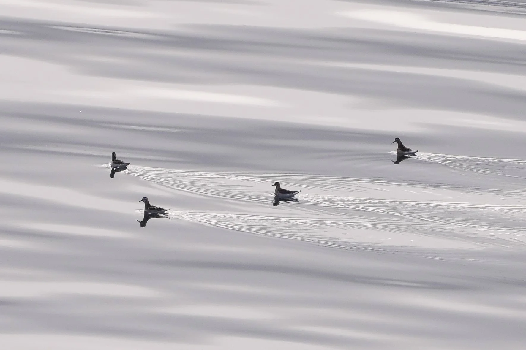
The group of birds are Red-necked Phalaropes, a lifer for me. (sorry - backlit on a gray morning! They’re really colorful in better lighting.)
The distant polar bear is the first photo I got of one. I took that from the ship when I abandoned my lunch and grabbed my camera.
The photo of the swimming polar bear with his mouth open is just him yawning. It was a long swim - he had every reason to be tired! And now we know what polar bear tonsils look like!
In the photos of Mama and baby polar bear walking along the shore, I love how the baby is almost always matching Mama’s step!





The Northwest Passage - Day 12
Gjoa Haven
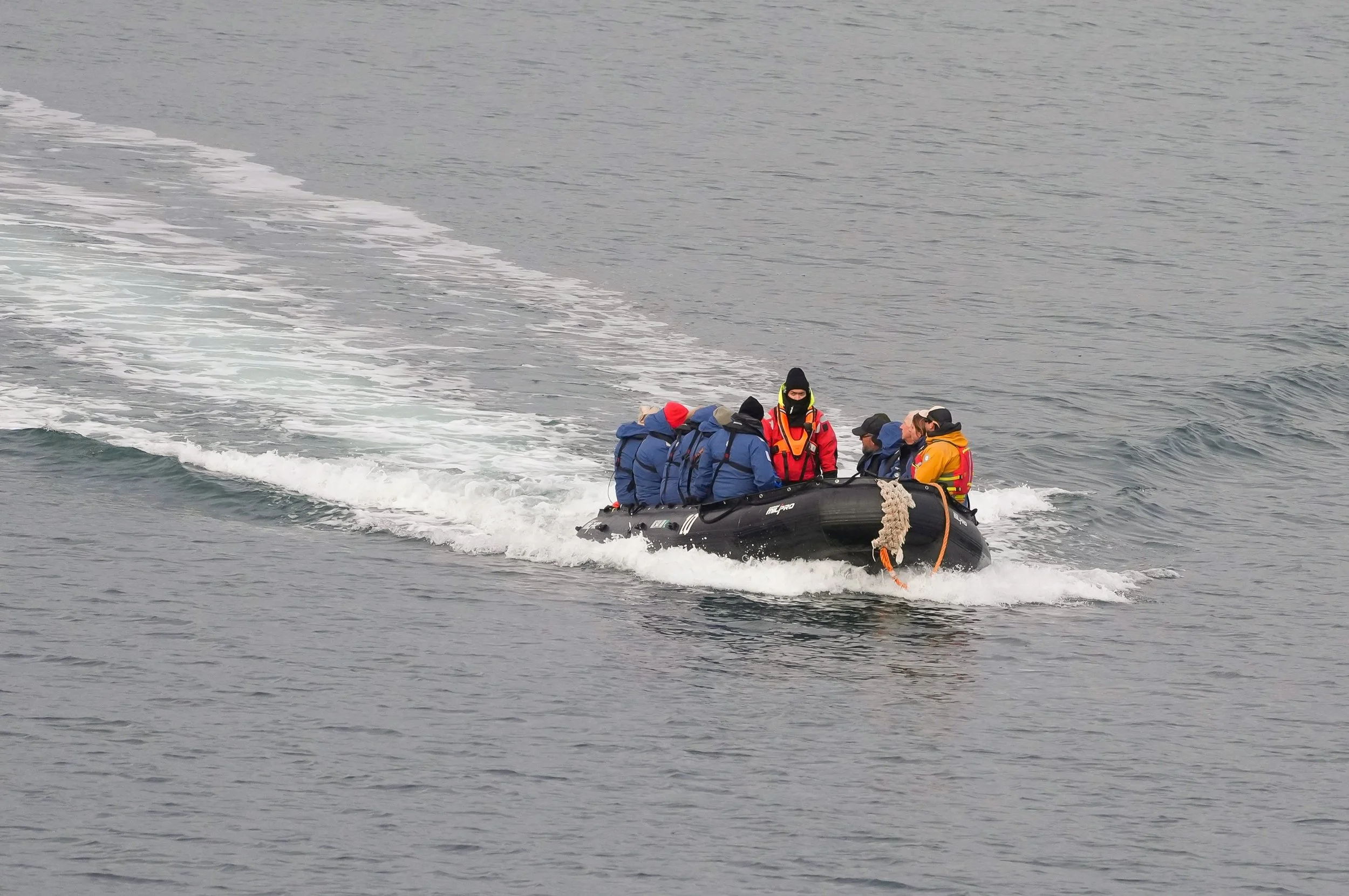
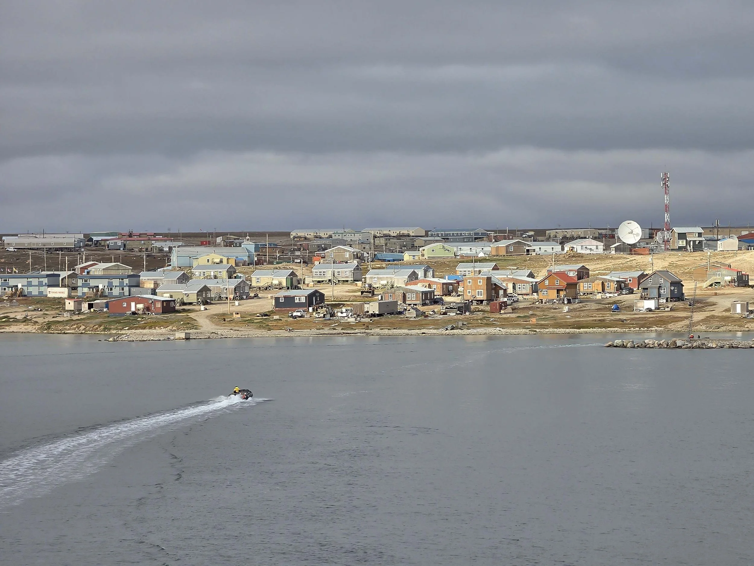
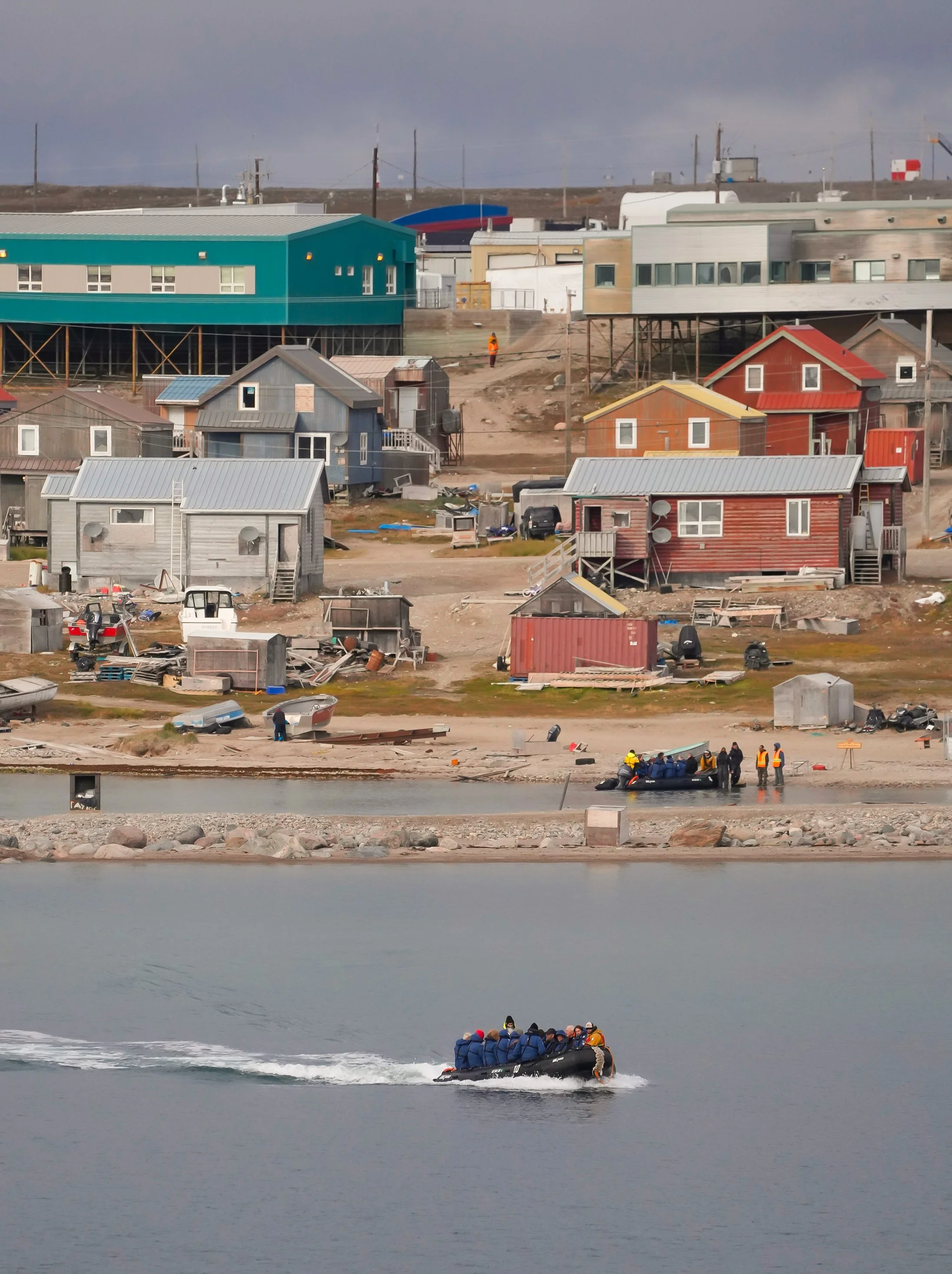
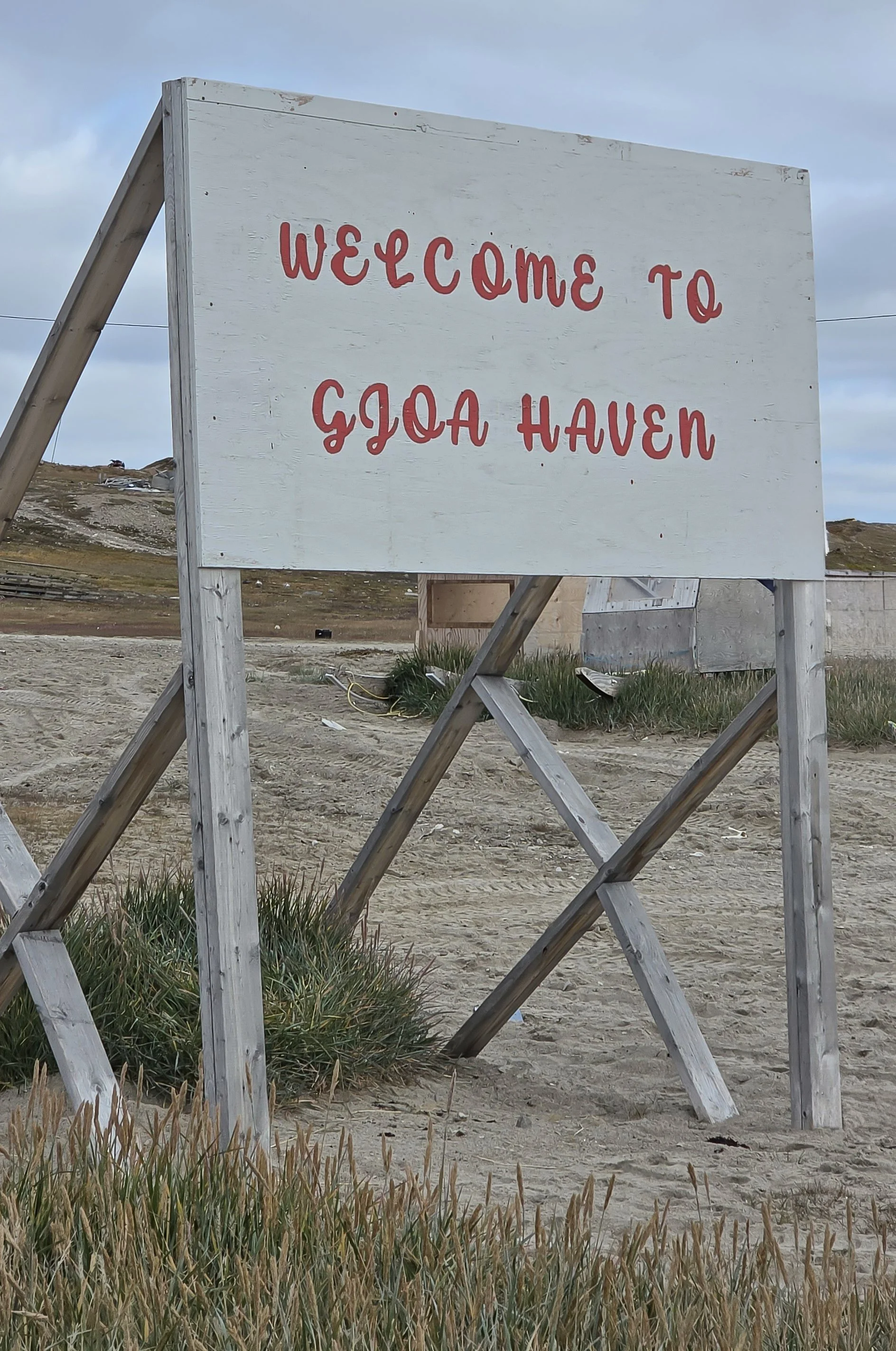
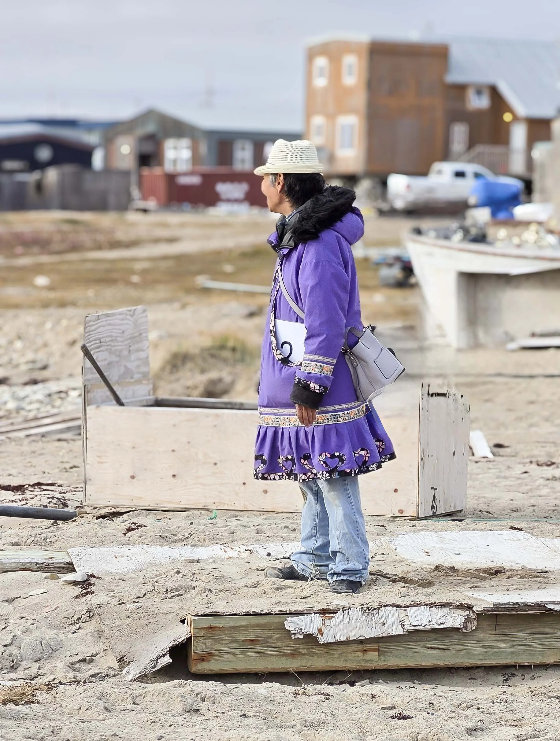
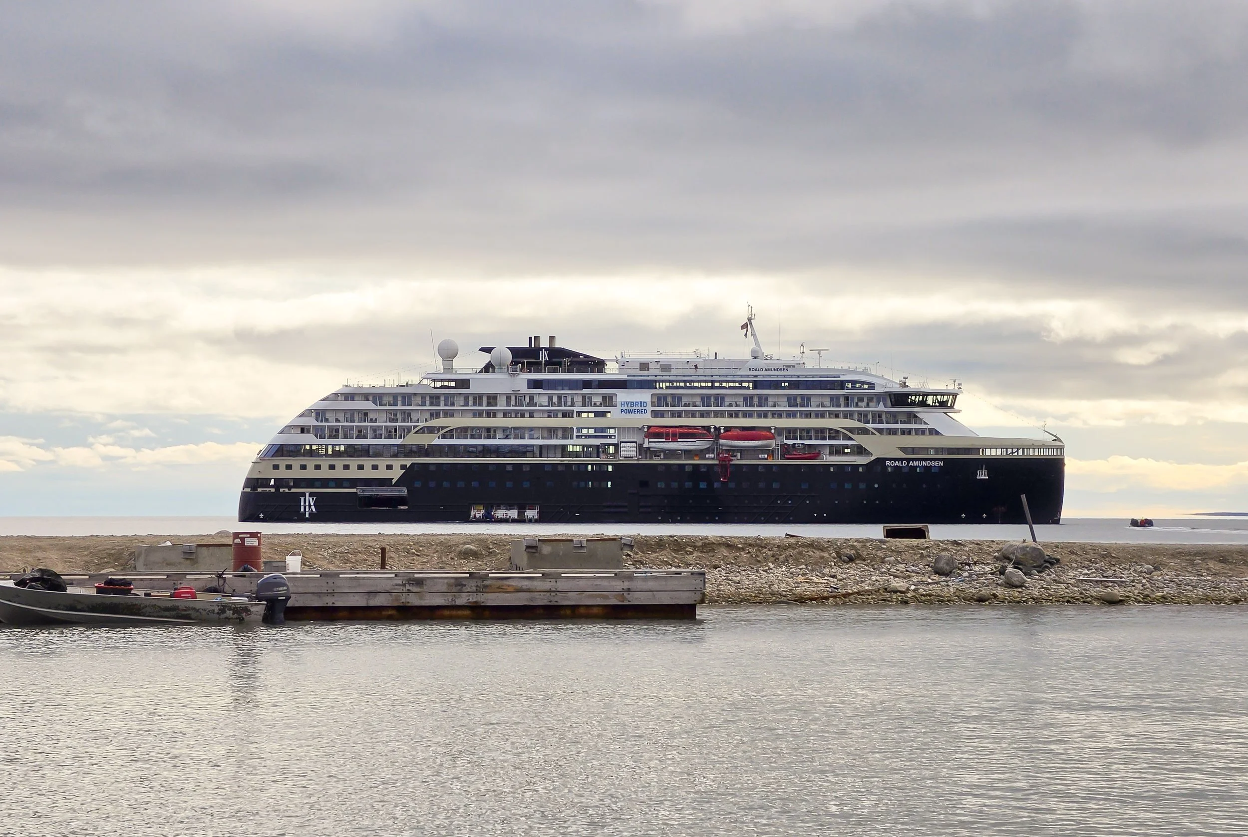
Today, we went ashore in Gjoa Haven (pronounced “Joe Haven”). Gjoa Haven is a small Inuit community located on King William Island in Nunavut, Canada. Roald Amundsen stayed here from 1903 to 1905 during his historic voyage where he and his crew were the first to successfully navigate the Northwest Passage. The natural harbor there was named after Amundsen’s ship, the Gjoa. During their 2 years in Gjoa Haven, Amundsen learned hunting and survival skills from the Inuit who lived there. Some of those Inuit’s descendants still live there today.
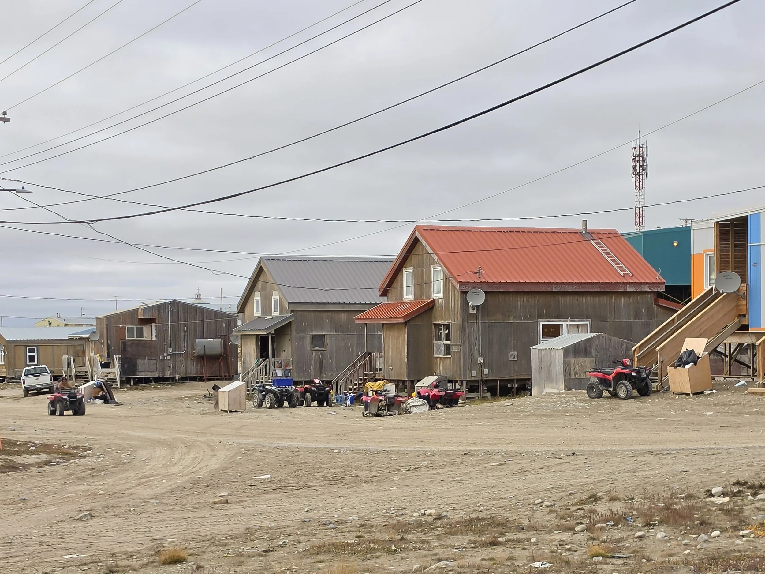
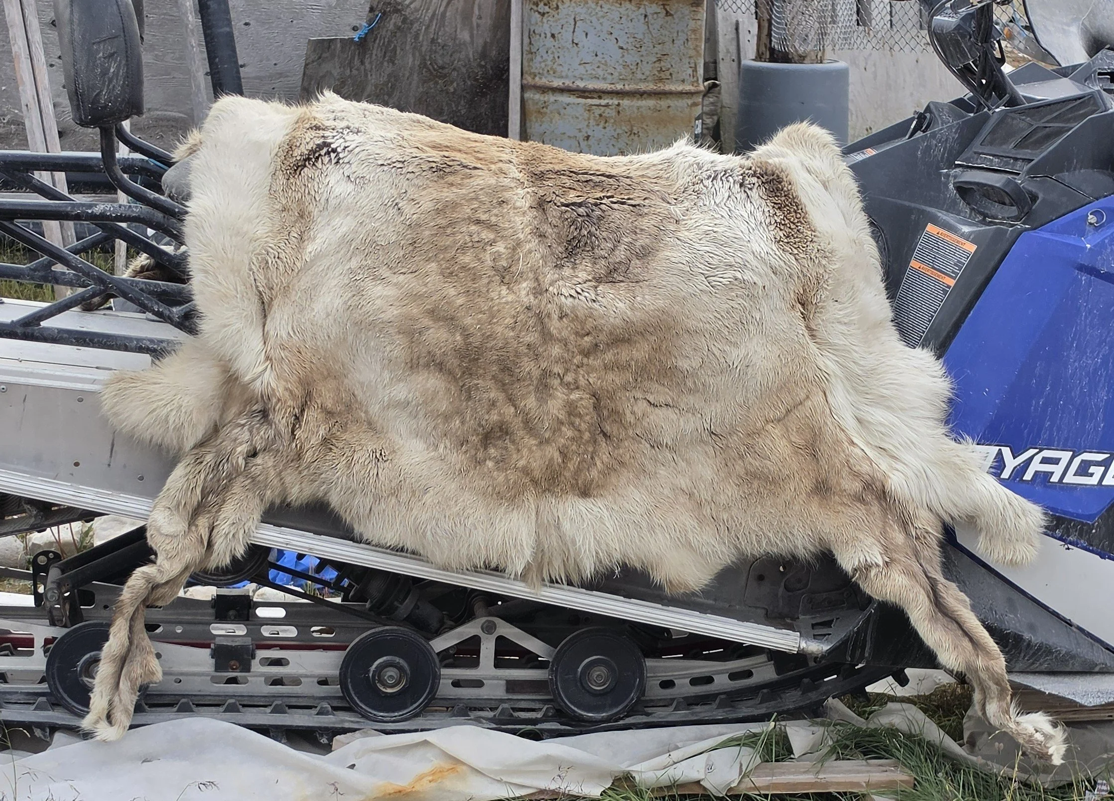
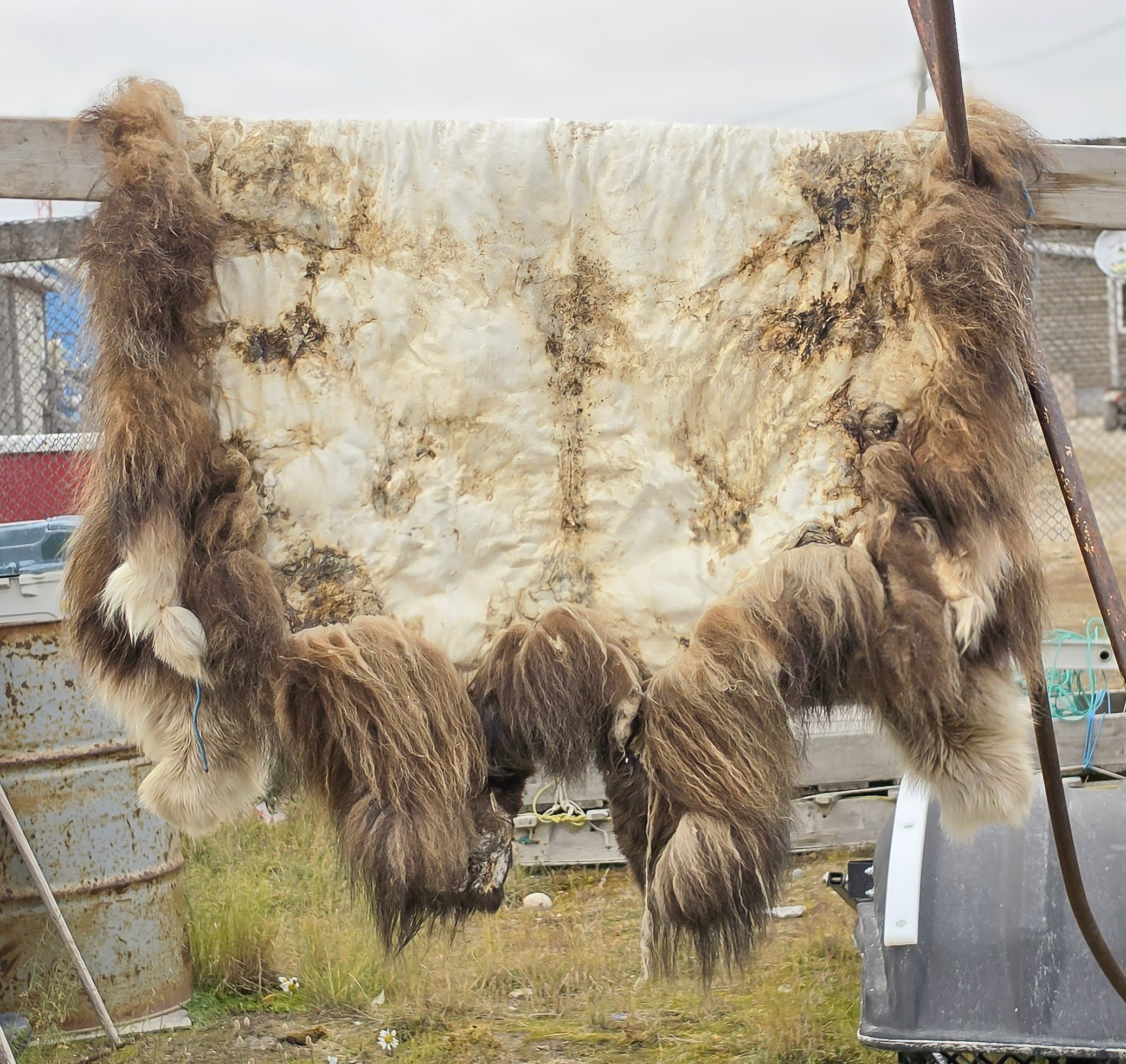
Around 1,500 people live in Gjoa Haven today, and most are Inuit. People mostly speak Inuktitut. Residents still rely on traditional fishing and hunting. We saw furs of caribou, wolves, and Musk Oxen hanging outside numerous homes as we walked around the community.
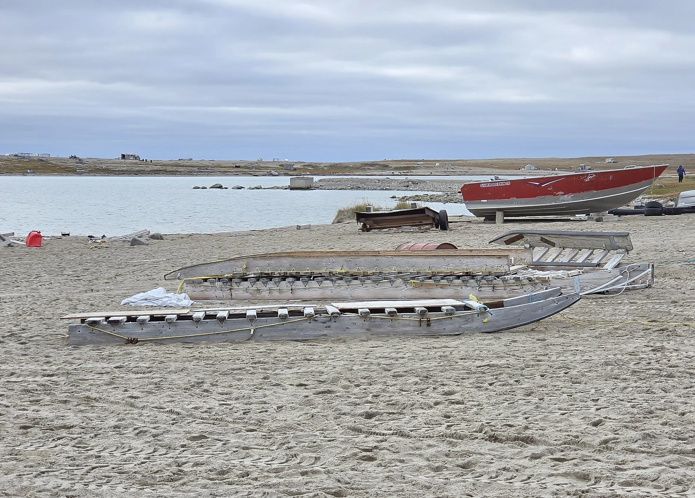
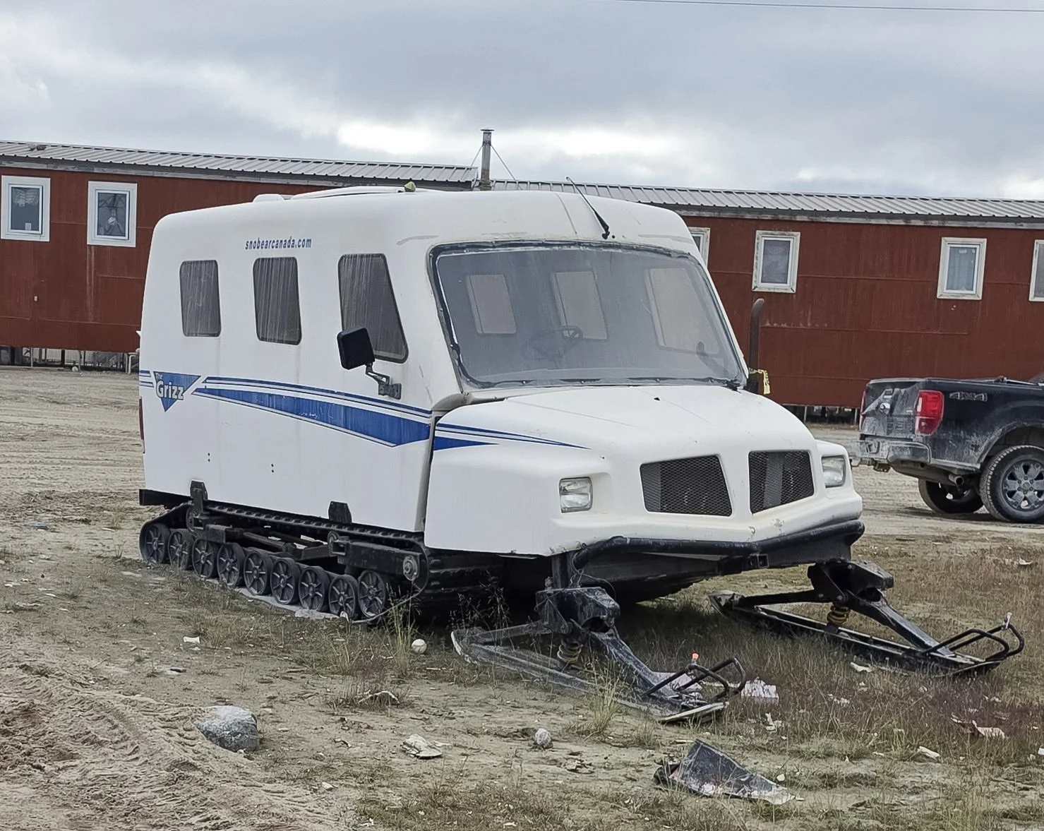
Our visit started with a walking tour around the town. It was described in our plans for the day as a “flat, level walk.” LOL! I think that was written by someone from Norway. The town is built on a hill overlooking a beautiful harbor. The town is smaller and has fewer businesses than Cambridge Bay, but they have 2 stores, both a high school and elementary school, a Heritage Center, a hotel, and a community center. A lot of houses have ATVs and snowmobiles parked outside, representing both summer and winter transportation. I also saw a lot of large wooden sleds which are pulled by snowmobiles to transport supplies and carcasses from hunting across the ice in the winter.
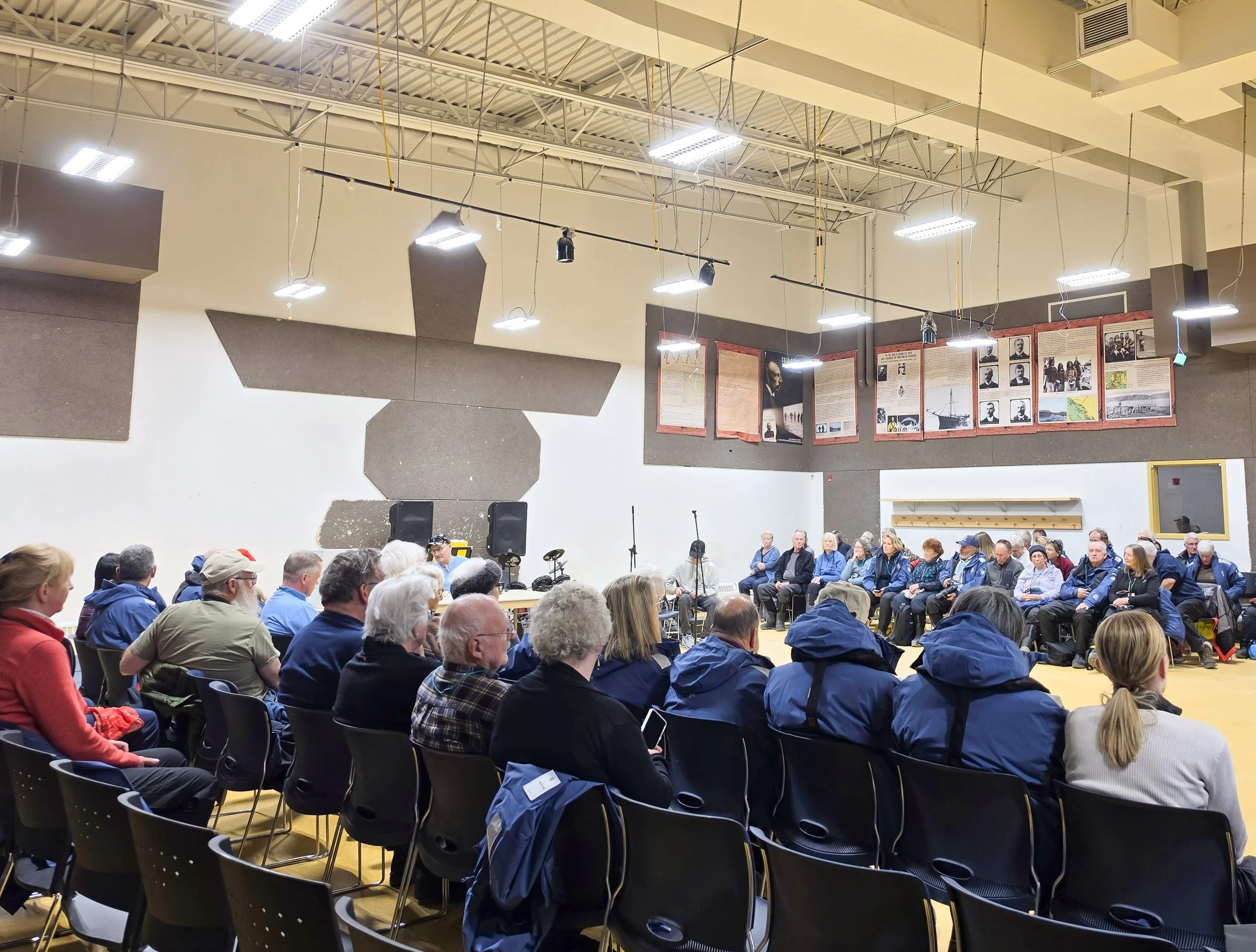
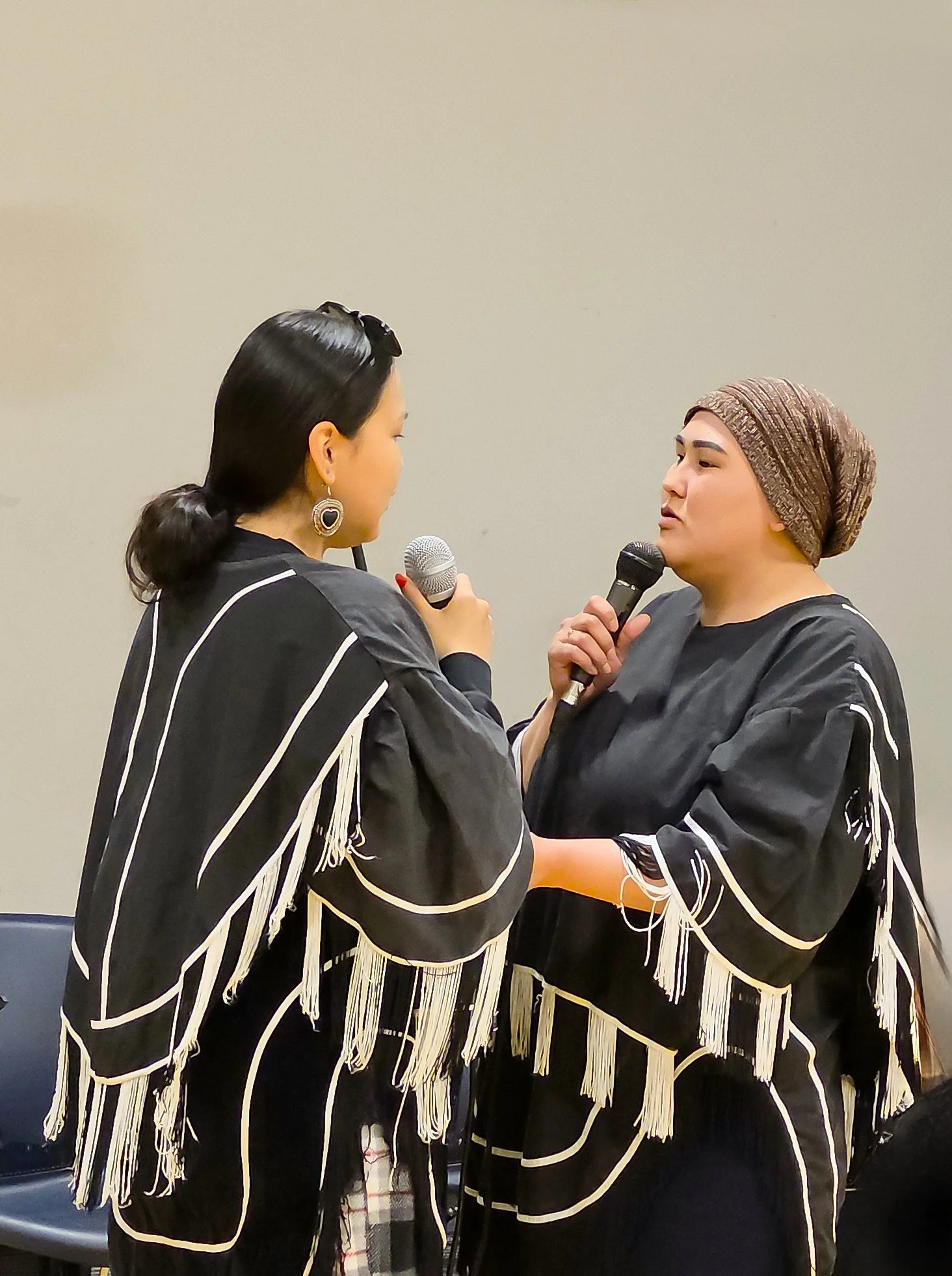
In the afternoon, we were invited to the community center for a display of traditional throat singing (amazing!), and square dancing, which is a popular local activity, passed down from old whaling crews. The square dancing used some familiar steps but also incorporated more traditional Inuit steps. It was really fun to watch! The kids who were dancing worked really hard to give us that show! A lot of the community turned out to watch, too, and to welcome us. Before the throat singing began, one of the elders lit a Qulliq lamp. These lamps are made from soapstone and usually burn either whale oil or seal oil. They used to be used for light, warmth, and cooking but now are primarily used in ceremonies, so it was an honor to have one lit for us. What a kind and warm community!
We are now about halfway through the Northwest Passage and have traveled 2,000 nautical miles! Tomorrow, we’ll be traveling through the Bellot Strait, which (dare I say it?) is known for bird and wildlife sightings!!! Hoping for some sunshine and smooth seas to make it easier to see. Oh, wow. We just attended tonight’s briefing about plans for tomorrow. Rather than travelling through Bellot Strait in the daytime, we’re going to try to go to Conningham Bay instead and explore the bay in Zodiacs. The bay is a shallow area where Beluga Whales like to go feed. However, the entrance to the bay is very shallow and when the tide goes down, the Belugas get trapped in the bay until the tide comes in again. This makes the bay a very popular spot for polar bears to hunt Beluga Whales! So, we’re going to try to make it there in time to catch the tide high enough to get Zodiacs into the bay! This does mean crossing through Bellot Strait at night, where we won’t be able to see wildlife, but it sounds like a great gamble to take. And if we can’t get to Conningham Bay at the right time for the tide, then the captain will go back to the original plan of traversing Bellot Strait during the day. How exciting!
Running off now for a 9 PM talk on Igneous Rocks. Am I in heaven or what?




The Northwest Passage - Day 11
Jenny Lind Island
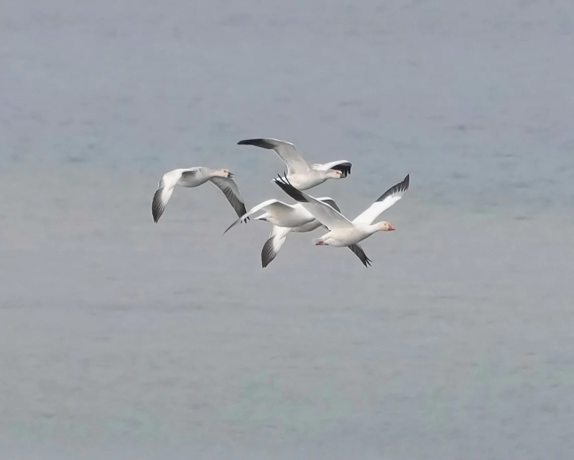
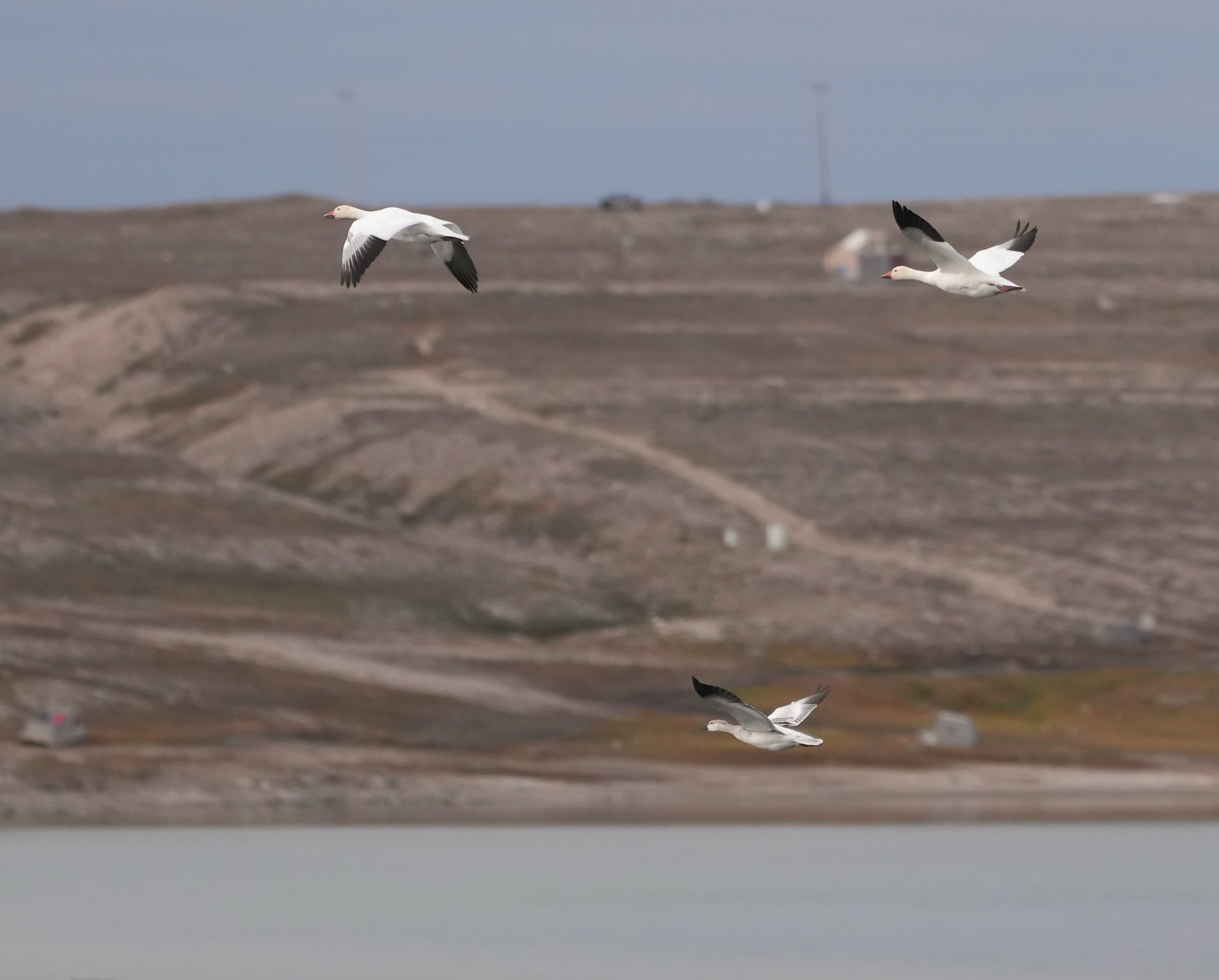
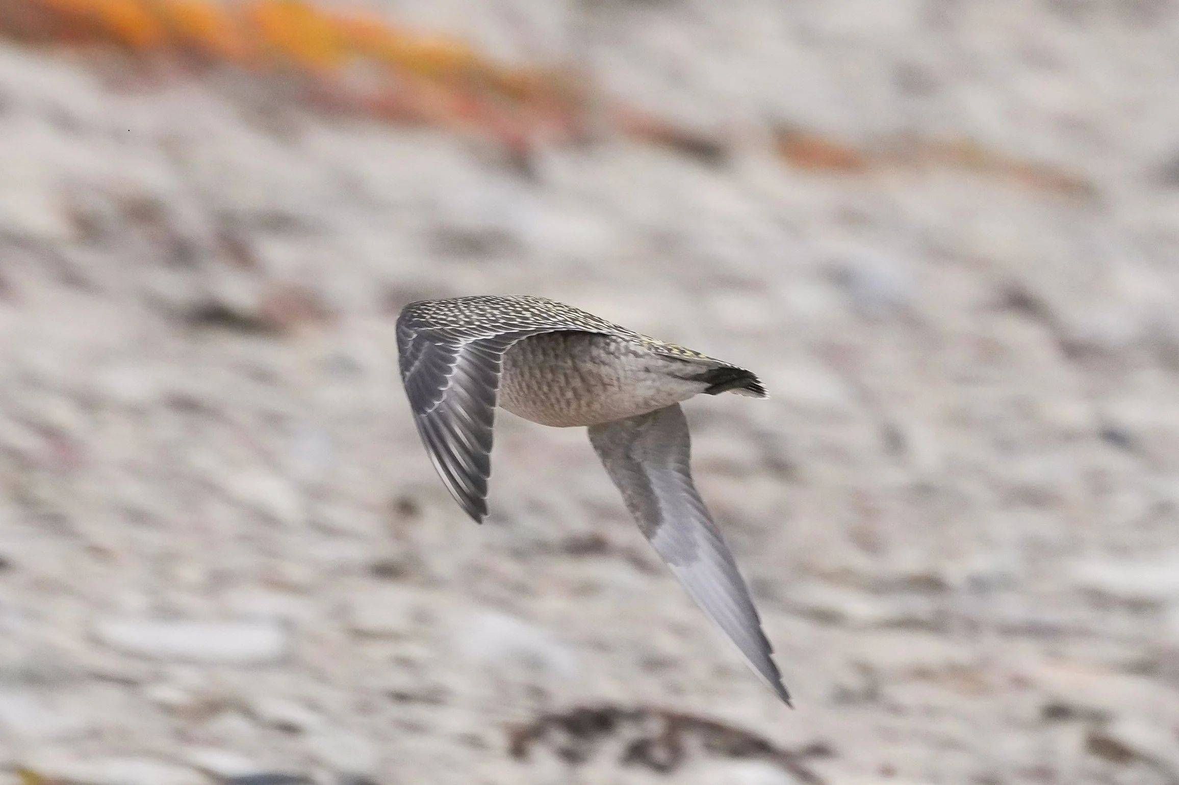
Today, we did a nature excursion to Jenny Lind Island. It’s an uninhabited island in Queen Maud Gulf in Nunavut, Canada. It was a very cold day – about 36 degrees Fahrenheit when we boarded the Zodiacs. The island has a few hills and some wetlands between the hilly areas. It’s a little past the peak time for birds, but I did see Snow Geese flying in the distance, Glaucus Gulls flying along the shoreline, and I think a pair of American Golden Plovers (more lifers for me so I need to verify my ID with the ship’s ornithologist.)
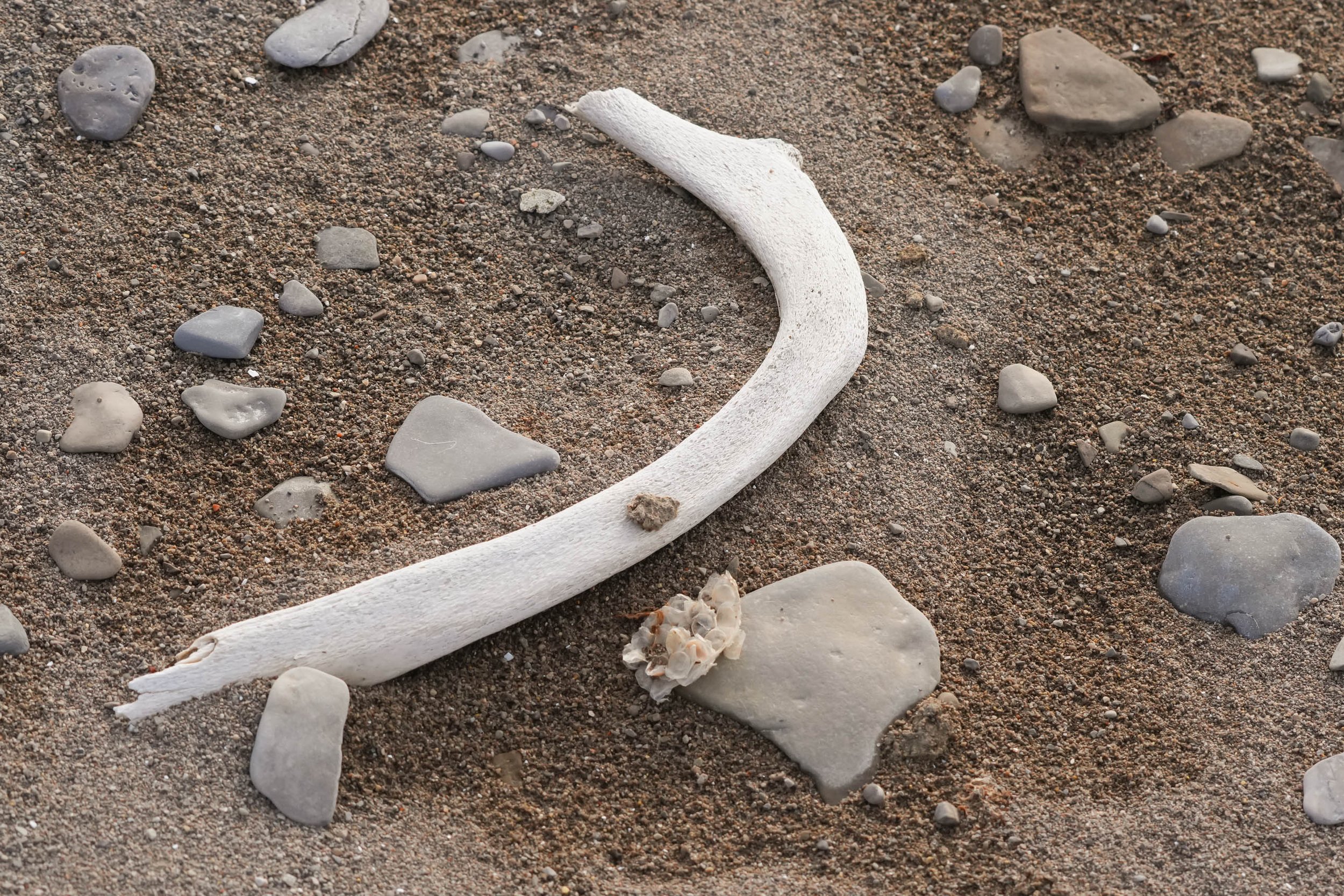
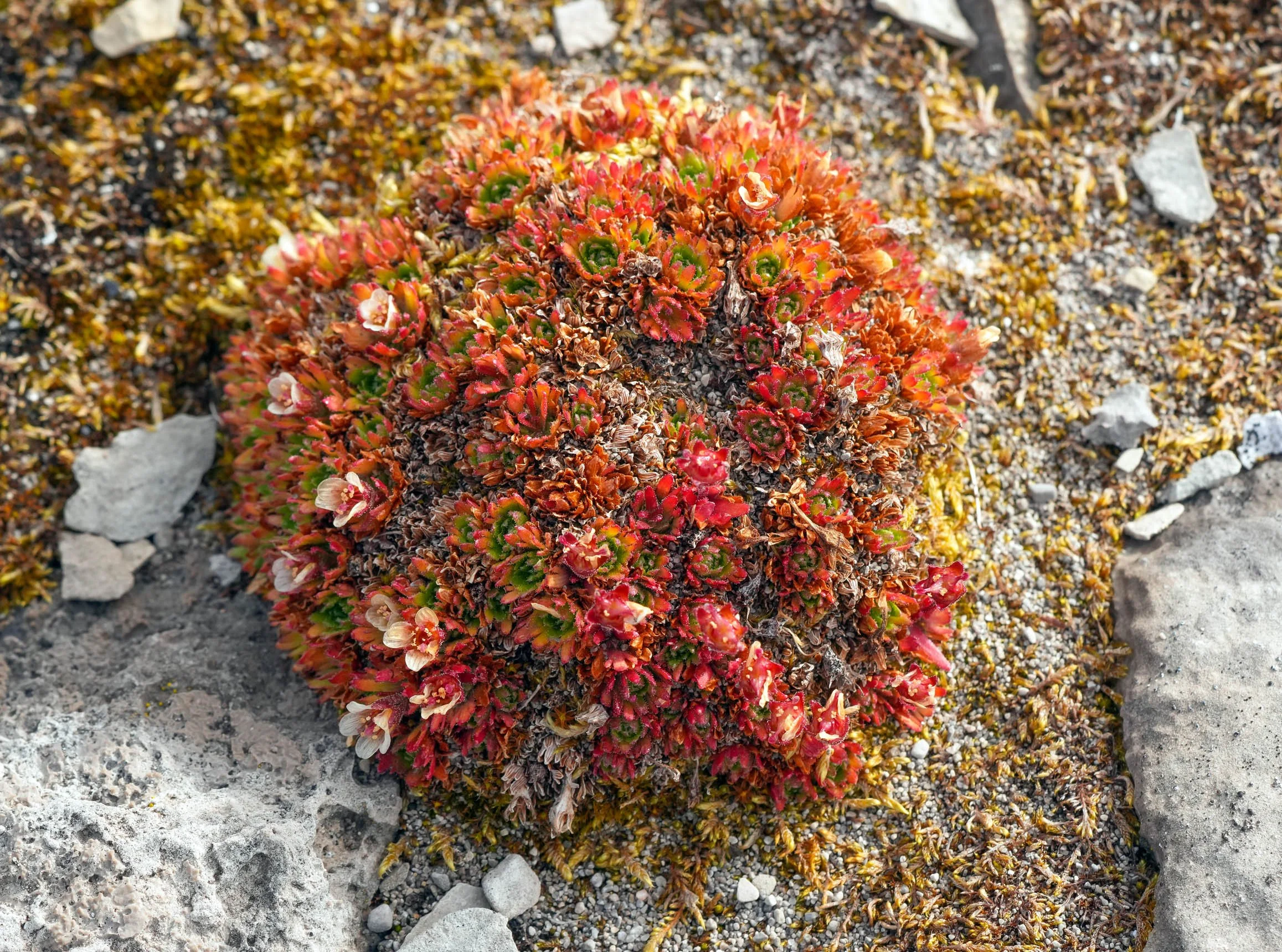
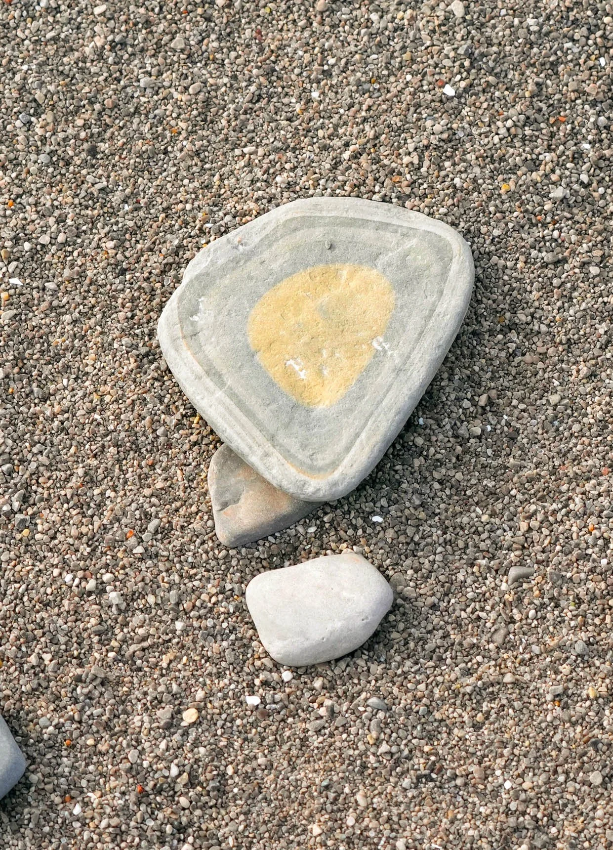
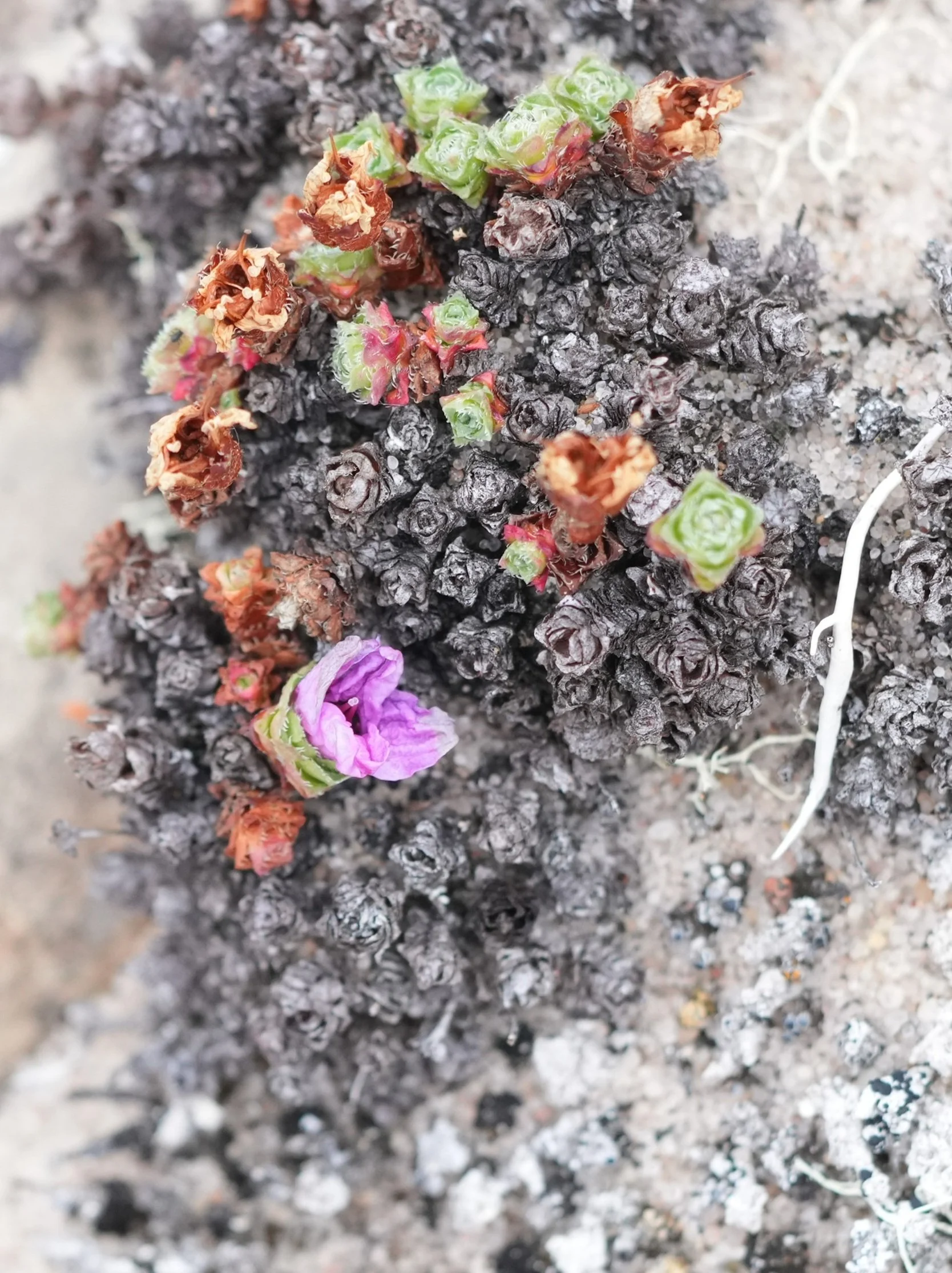
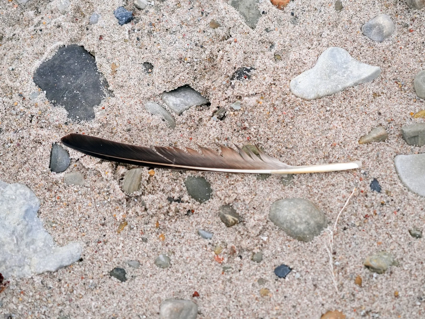
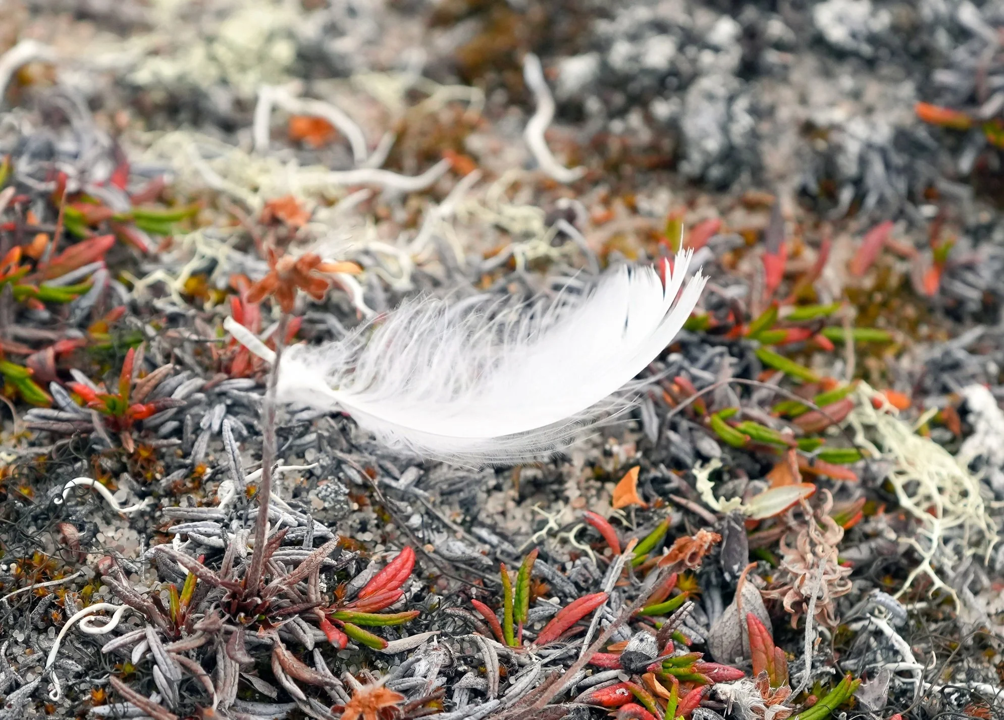
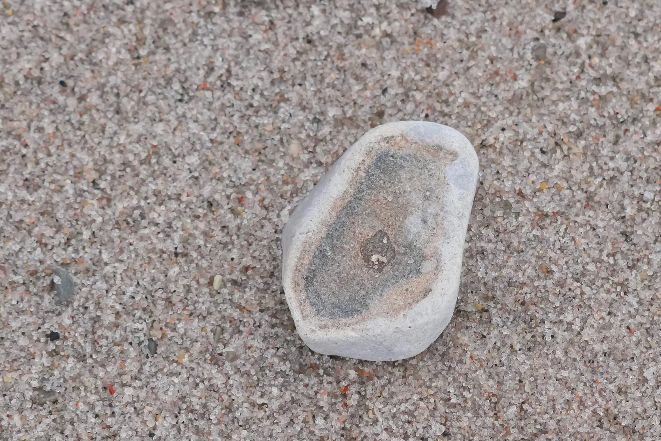
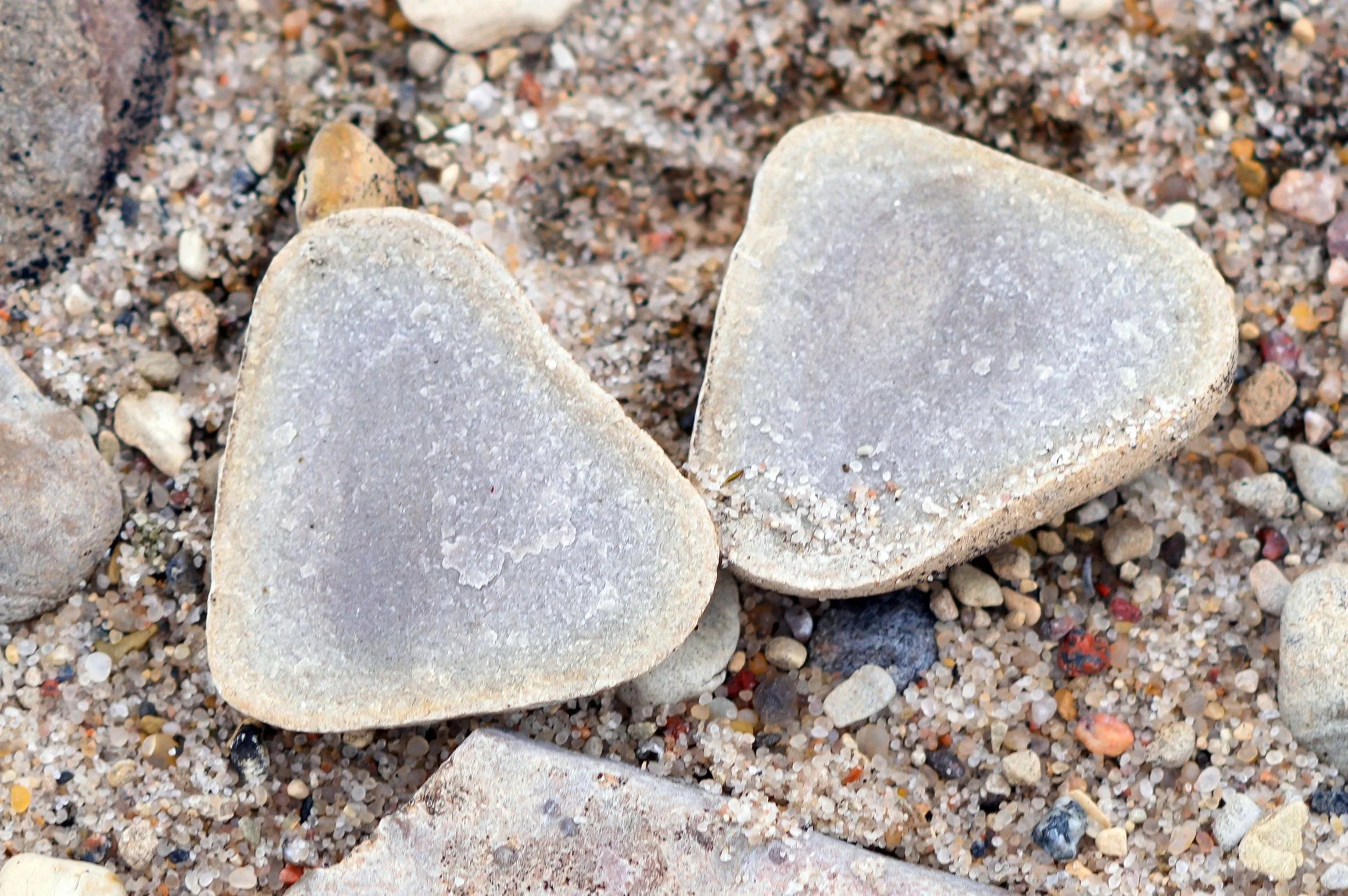
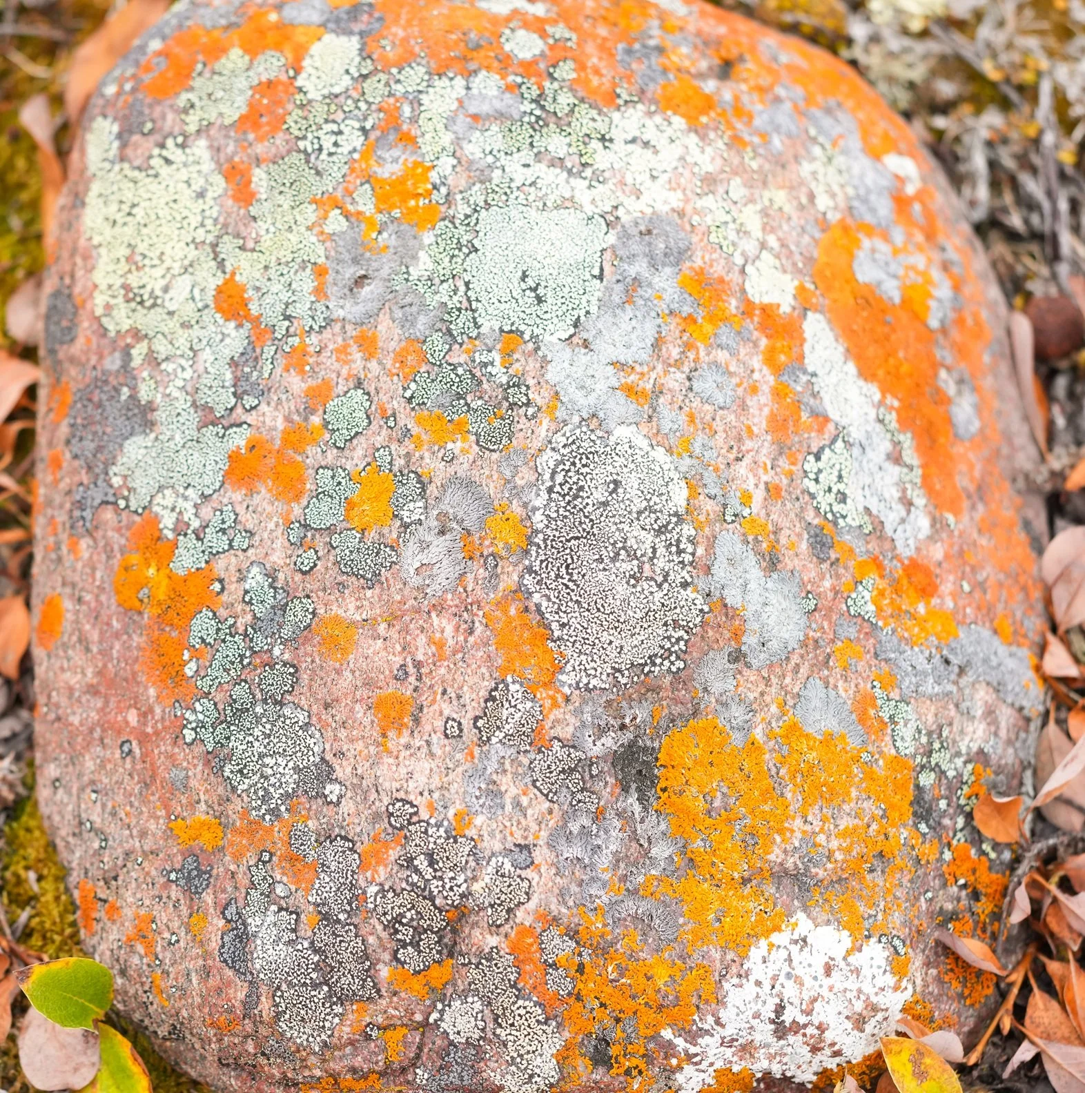
An interesting sight was the skeleton of a Musk Ox. I don’t know if it was killed by a polar bear or died of natural causes. Mostly, I was fascinated by some of the tundra plants and an incredible variety of rocks. Some of the rocks were marine fossils that had been encased in limestone, and there was red granite, black dolorite with quartz running through it, flint, and some stones that I dubbed “potato rocks” because they look like a potato after I use my potato slicer on it! 😊 They’re comprised of dolomite and are split up by karstification, where acidic rainwater runs down through cracks and joints in the rock and eventually splits the rock into slices.
It’s dark out now at 9:30 – that’s 2 hours earlier than sunset a few days ago! It’s getting colder, too – it feels like we’re sailing from summer into winter.
Tomorrow’s stop: the town of Gjoa Haven!






The Northwest Passage - Day 10
Cambridge Bay
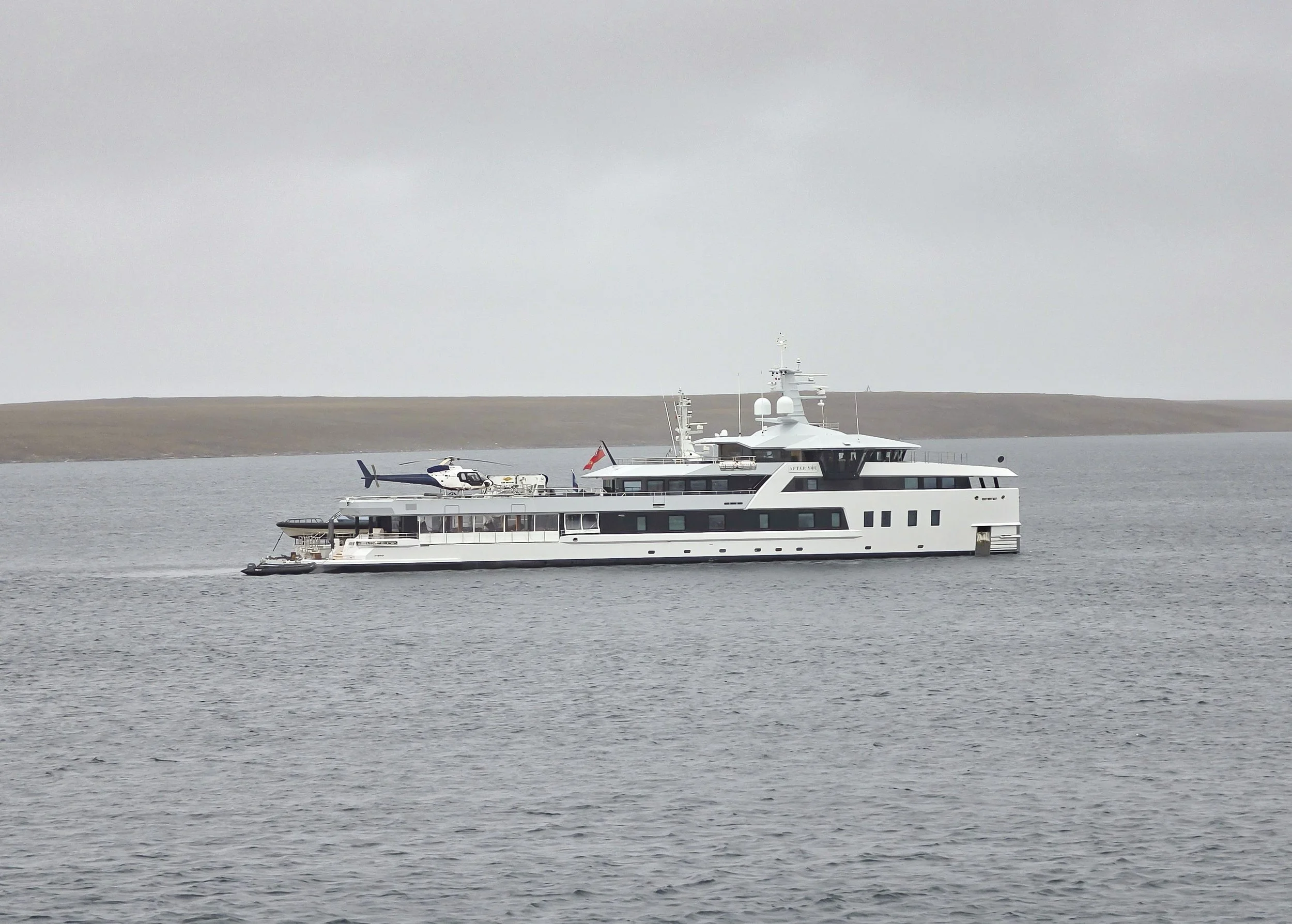
What a fun day! I woke up to the unexpected sight of a super yacht moored near us. It’s 200 feet long and called After You. It has a helipad and an onboard garage that carries its “dinghies”. Rafted next to it was its 150-foot “support yacht” named Emotional. (Emotional support yachts, who knew!) They’re owned by the same person/company. Some folks on board said they are research ships but everything I find online said they’re for private use. Wow! Gorgeous vessels.
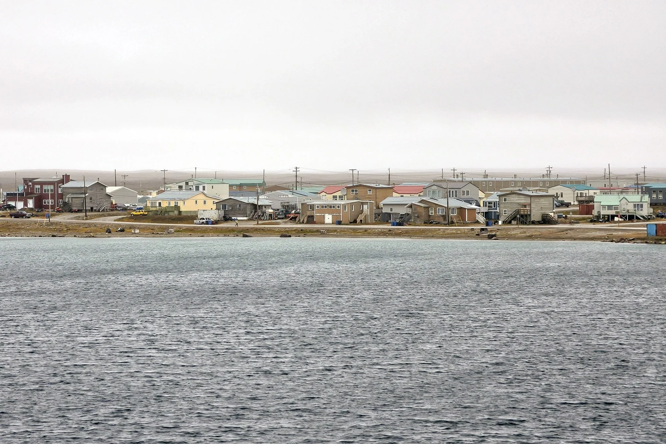
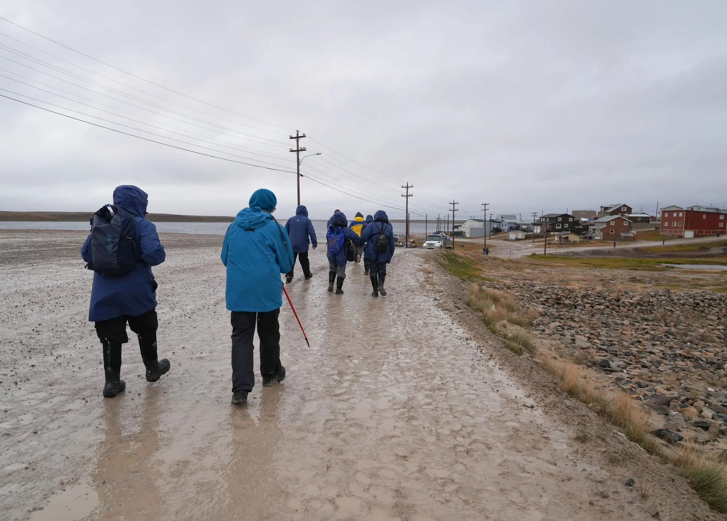
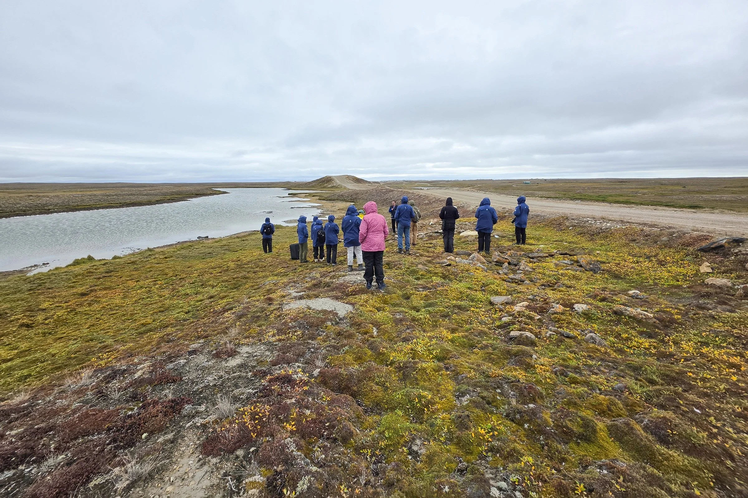
In our not-as-warm but still awesome Zodiacs, we went ashore early and spent most the day in Cambridge Bay. It was a cold, rainy, and muddy day but everyone seemed to enjoy it as much as I did! The day began with a walk around the town, led by a high school student guide. The students do the guiding work to earn money for school activities. This group was earning money for their basketball team. It was fun to learn about the community from the perspective of a high school student!
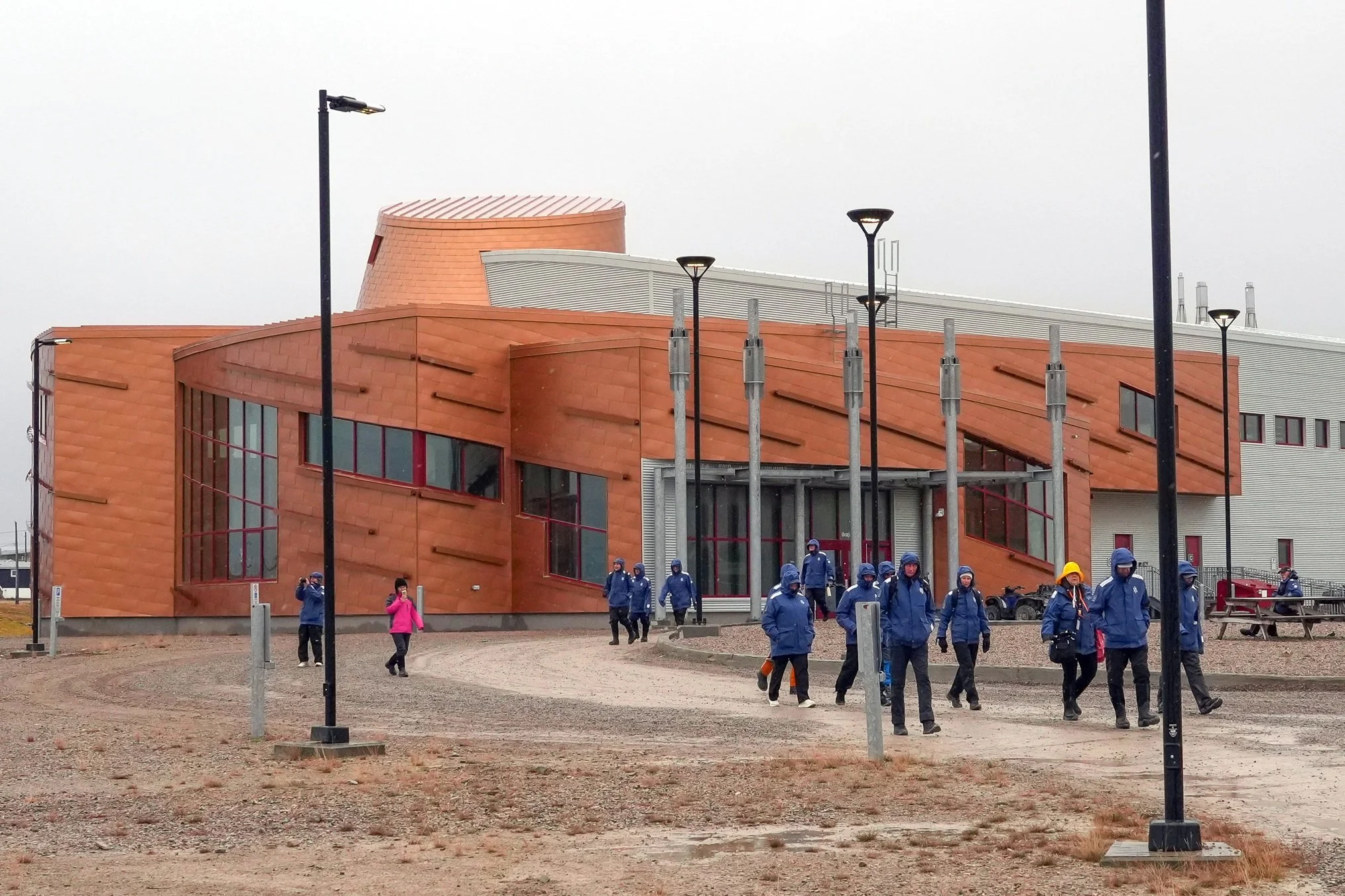
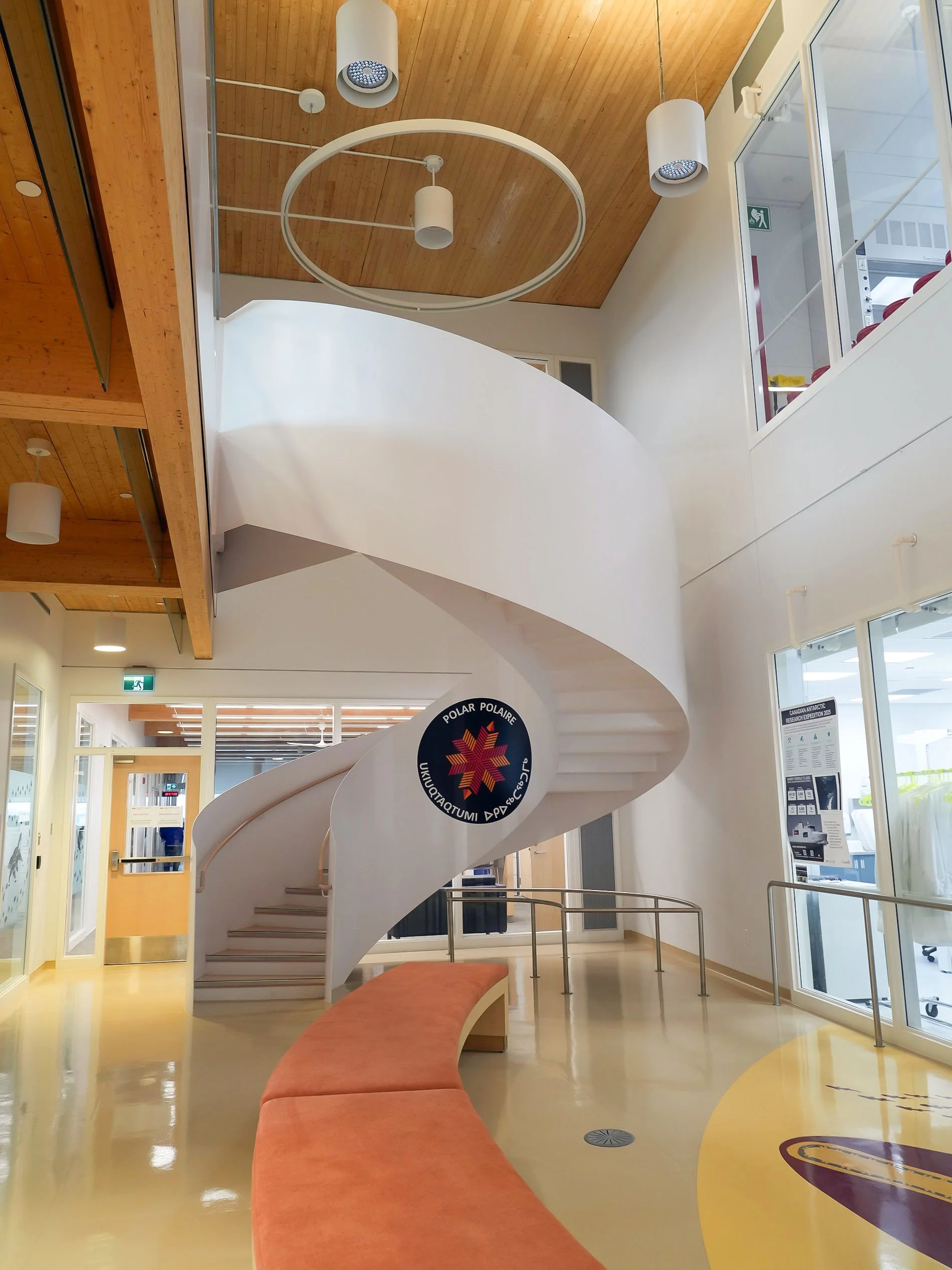
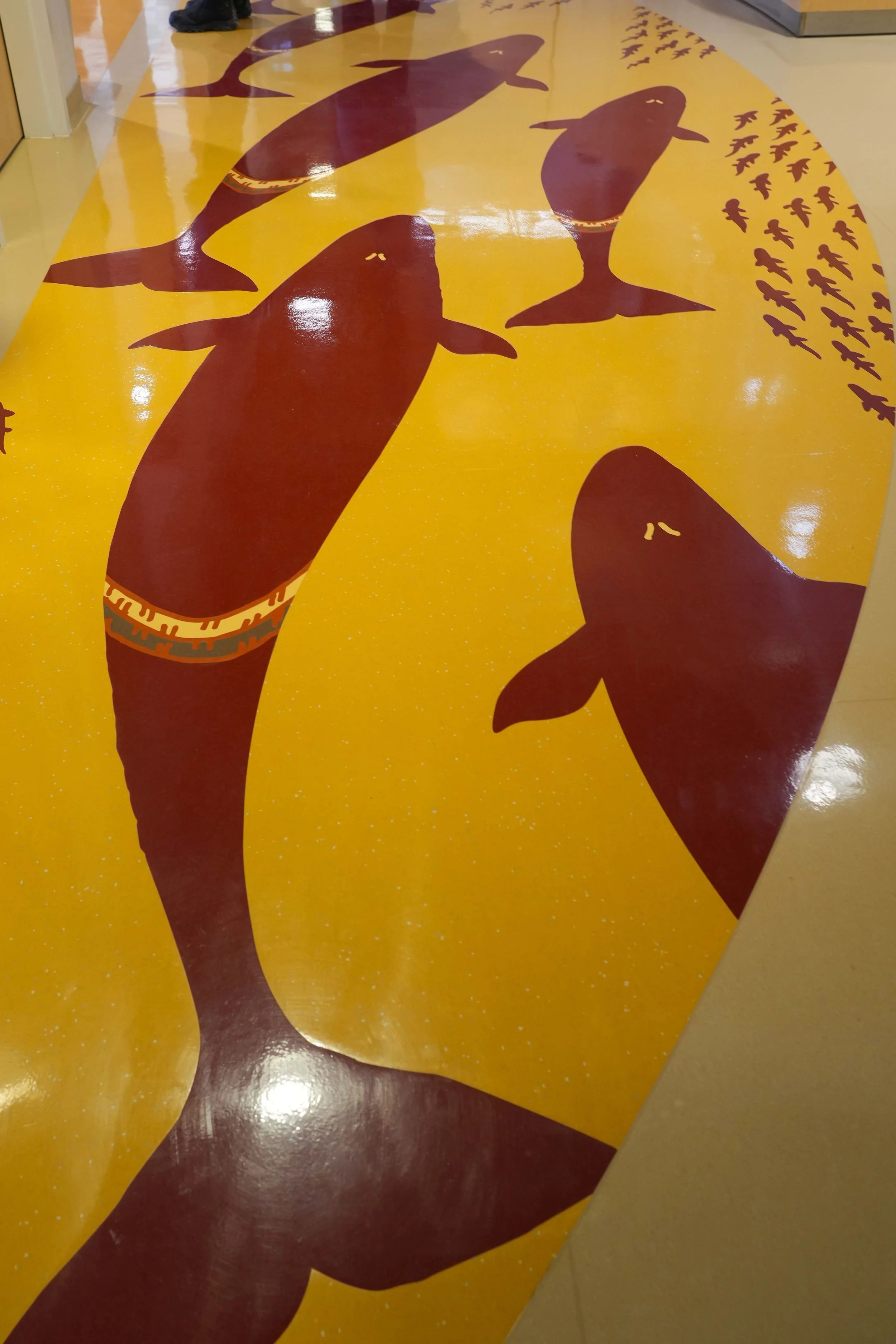
We walked to the Canadian High Arctic Research Center, which I’d really been looking forward to visiting. The architecture is striking – not in any way like a typical laboratory or scientific office building! The entrance hall (called the Knowledge Sharing Center) is circular, to give the feeling and acoustics of an igloo. Part of the center’s charter is to bring Inuit knowledge to the community and to the research projects being conducted, so the design is perfect – and it’s much larger and more modern than an igloo. The building is full of beautiful artwork, including on the floors.
After leaving CHARS, we walked to the high school. In their library is the cultural center for the town that also serves as a museum, art gallery, and archives. They’re doing amazing work to record the oral history shared by the Inuit elders and sharing it with students and the community.
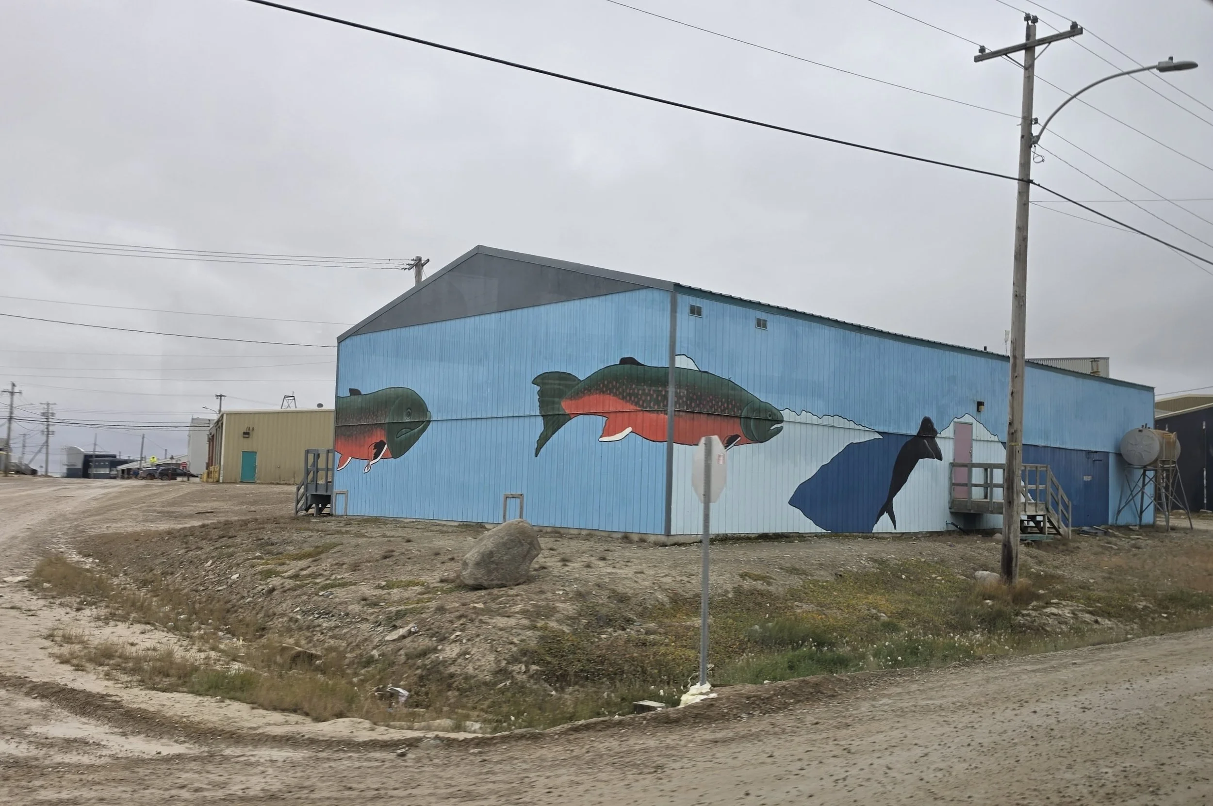
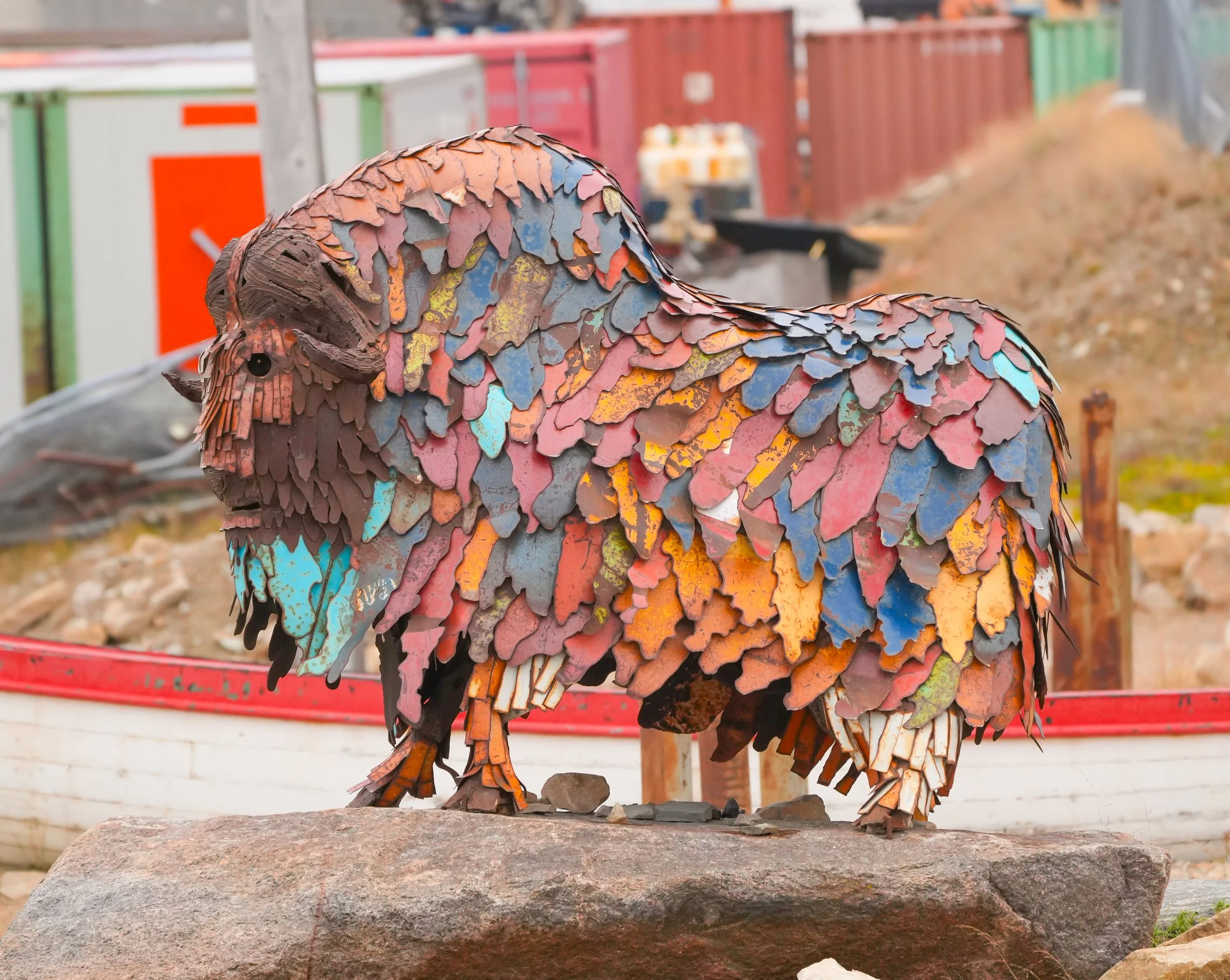
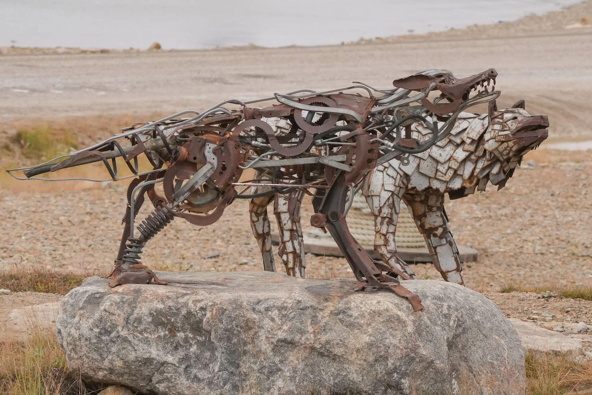
We walked about 3 miles on our tour, which started and ended at the Red Fish Art Studio. The studio is a fantastic project to give Inuit youth an opportunity to create artwork to sell and to have a positive creative outlet. They make sculptures from recycled metal. Their work is just beautiful! It celebrates Inuit life with a beauty that everyone can appreciate.
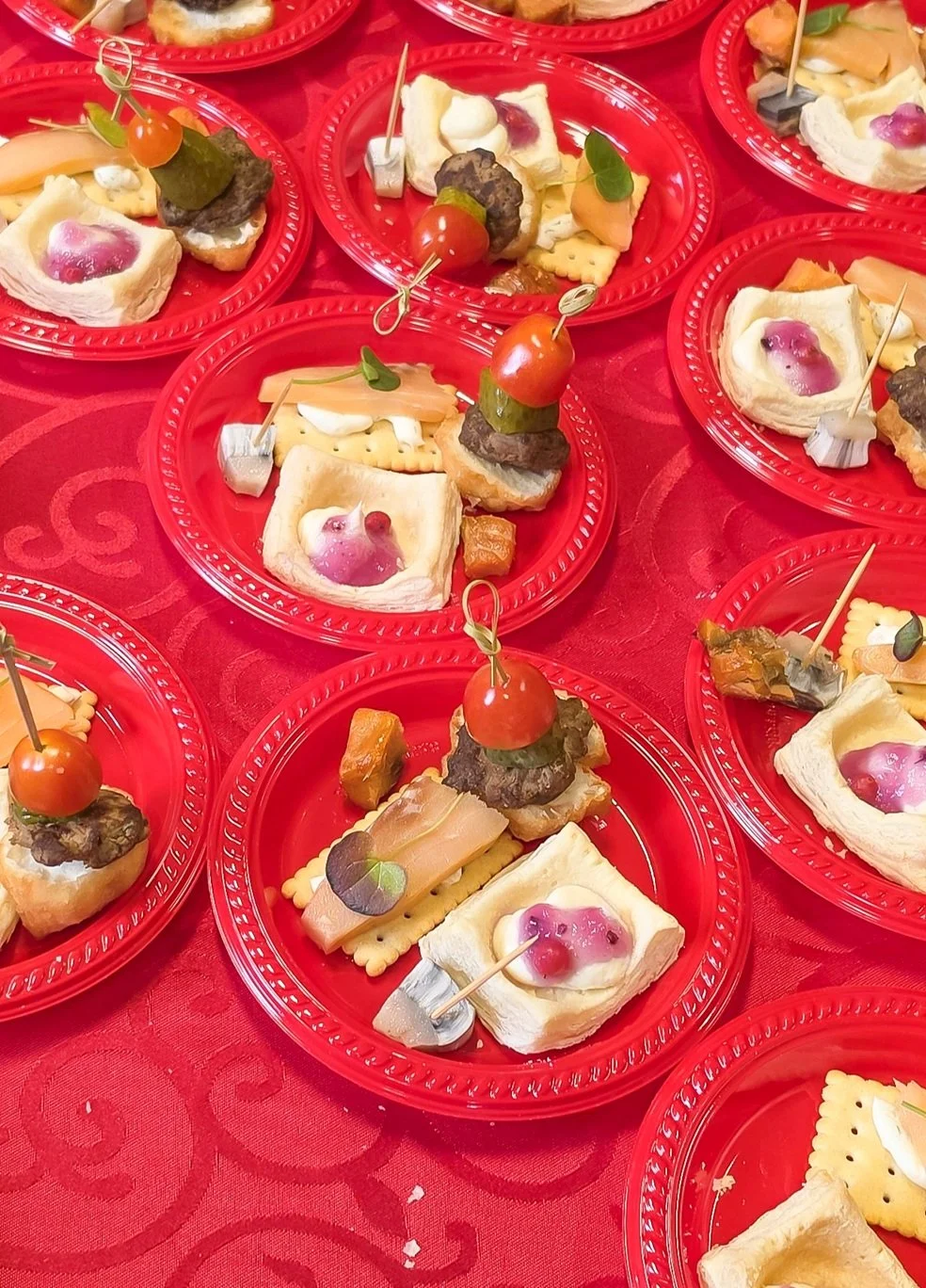
On the walking tour, it was so heartwarming to see how many people welcomed us or waved as they drove by (despite our group’s tendency to wander all over the road and not pay attention to oncoming cars or ATVs!). At our check-in point at the beach, a group of residents provided a plate of traditional foods, including Musk Ox, Arctic Char, Narwhal, a pastry with lingonberries, and Bannock (a fried bread). I didn’t partake but everyone who did said it was all delicious. What a wonderful community!
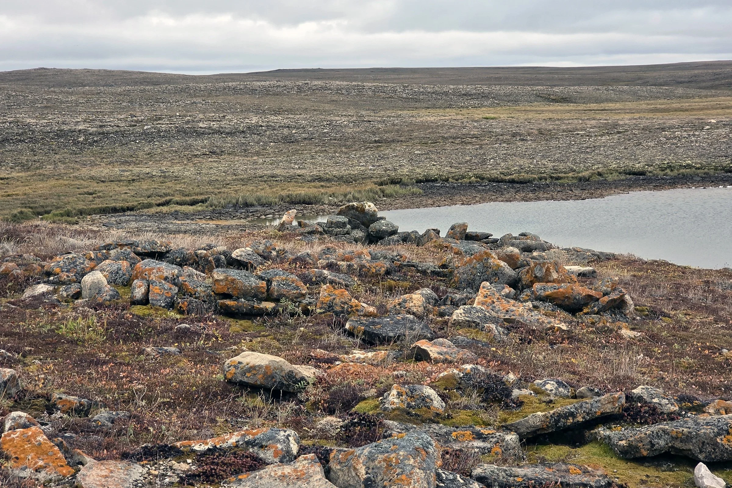
In the afternoon, I joined a Cambridge Bay Heritage and Arctic Discovery Tour. I think this is the first time this tour has been run. It was fabulous! I’m so glad I signed up for it. It lasted about 3.5 hours. We rode in a comfy (and heated!) van, and the tour was led by a Cambridge Bay resident and expert, whose name I’ve sadly forgotten. (His daughter is one of the community ambassadors who is sailing with us to teach us about the Inuit culture and communities.) I learned so much on the tour! We were able to see historic sites throughout the community as well as learn more about the town. A highlight for me was a visit to an archeological site dating back to before 1400 BC! The Thule people (who came from Alaska) had camps outside of the current town borders, in an area where many locals now have summer cabins. The remains of those camps are areas dug down a few feet into the ground and circled with large stones. Then the Thule used that structure as a base for their tents. There’s a river nearby where Arctic Char are prevalent, and there are muskoxen, caribou, arctic hares, arctic foxes, geese, seals, and whales in the area, so it was a good area for hunting.
On the tour, we passed some old “matchbox houses”, which were dwellings built in the 1950’s by the Canadian government to encourage Inuit to move into permanent settlements. The matchbox houses are only about 288 square feet and often housed multiple generations, with families of 10-15 sharing one chemical or “honey bucket” toilet, a small cooking area, and sleeping on the floor with multiple family members sharing a bed. The matchbox houses are no longer occupied.
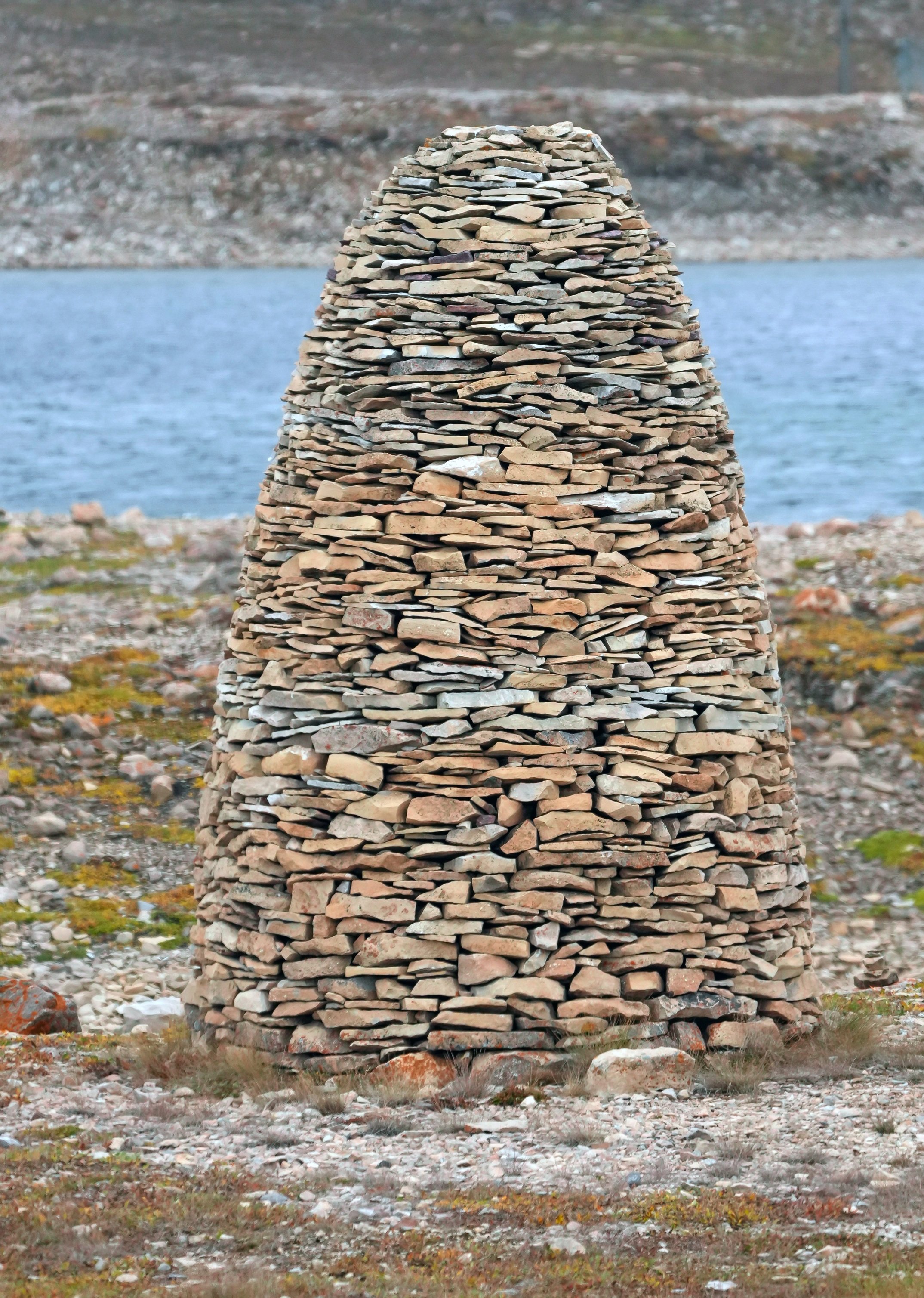
Another highlight was stopping at the site where the Norwegian ship the Maude was trapped by ice and sunk in 1930. It was built in Norway in 1917 for Northwest Passage explorer Roald Amundsen. After sinking, it was a local landmark until the Norwegian government asked for permission to raise and return it to Norway. There are some really good documentaries about the efforts to return the Maude home, which was successfully completed in 2017. The Norwegian salvage team erected a cairn at the site as a memorial to the Maude.
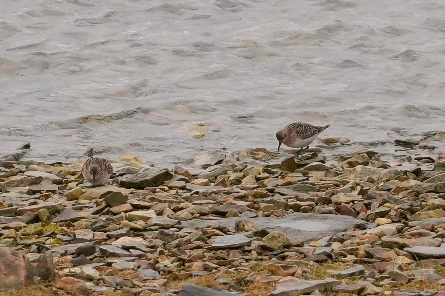
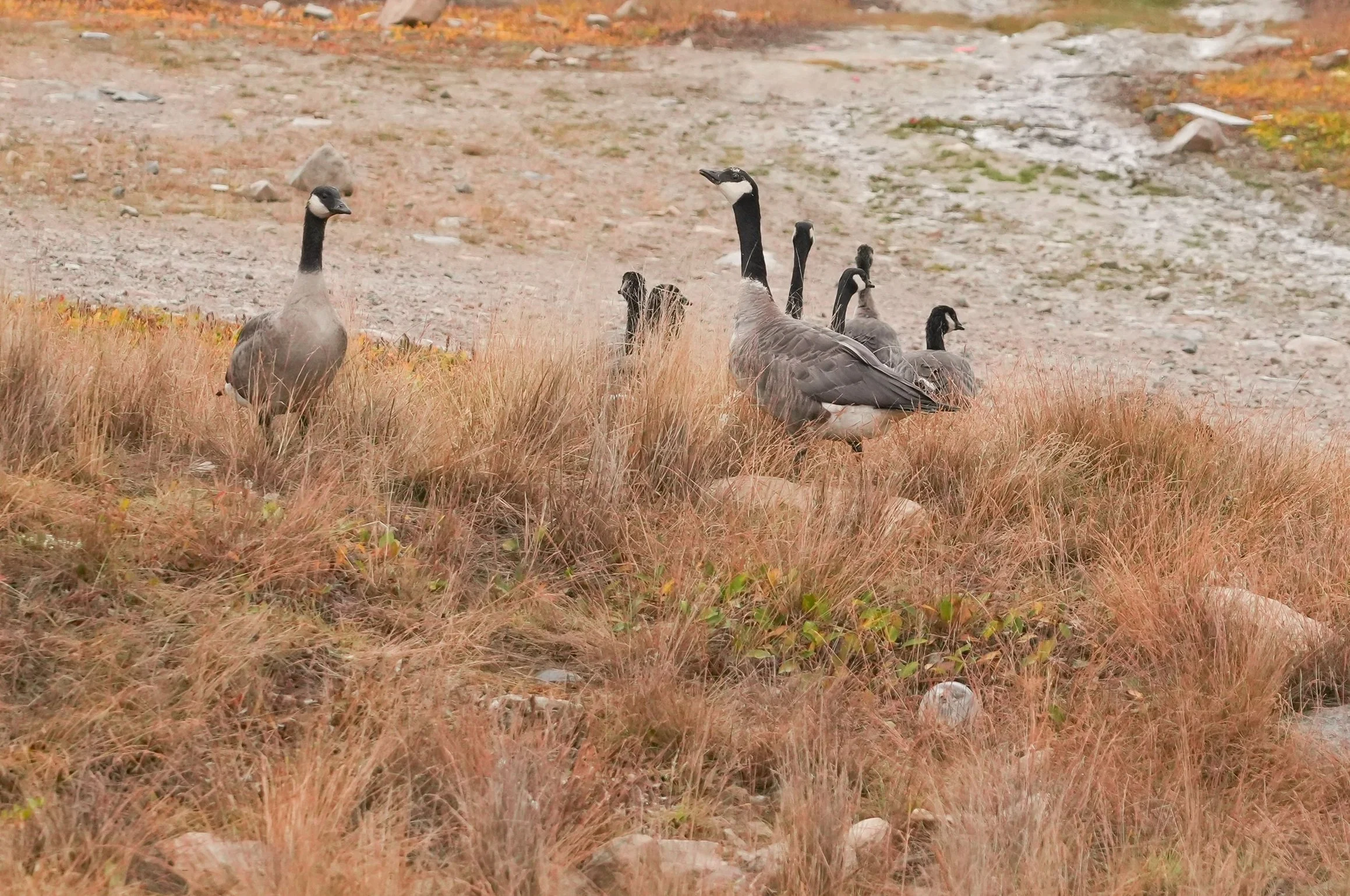
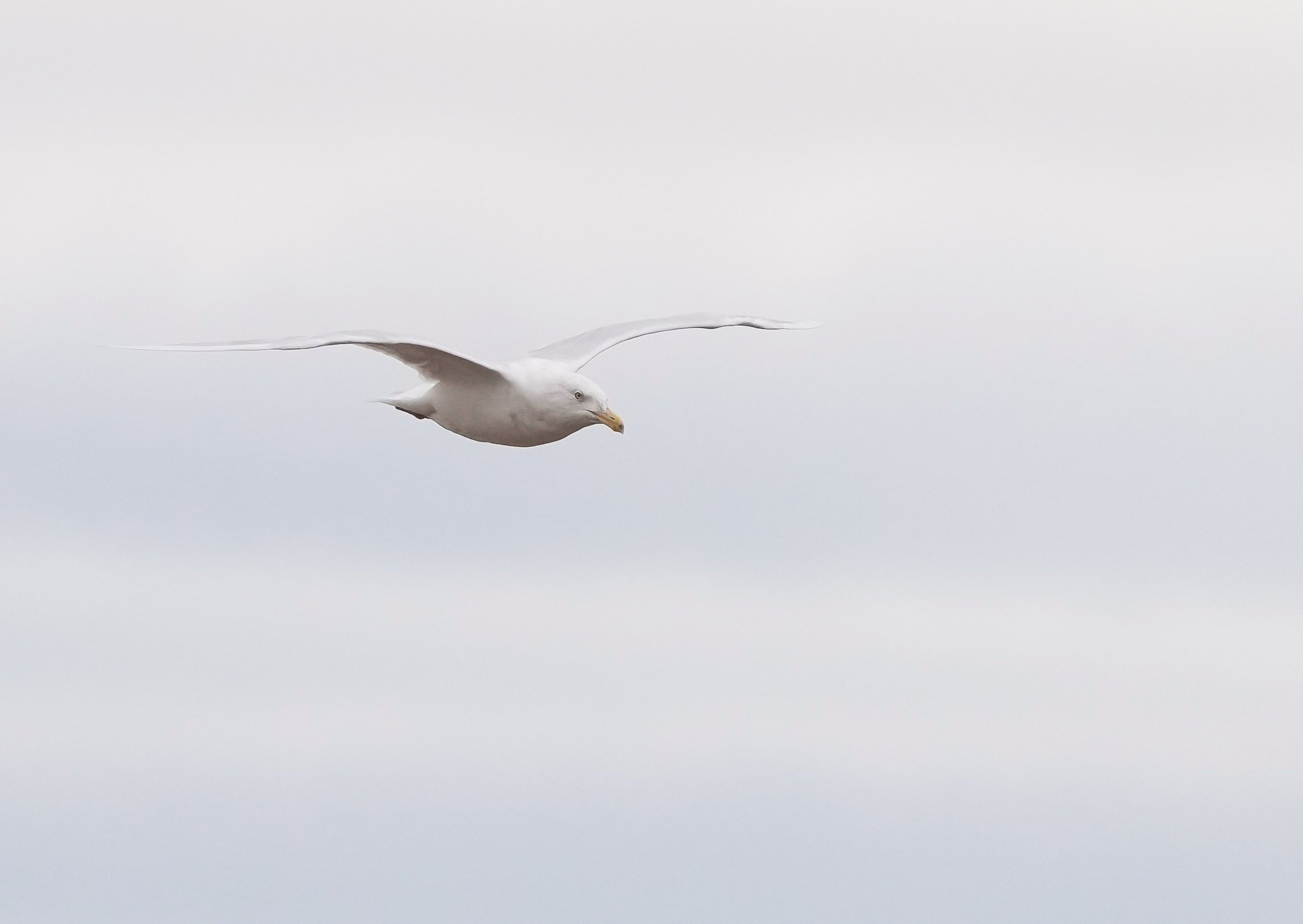
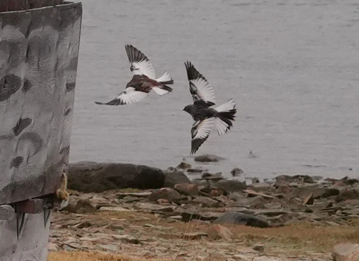
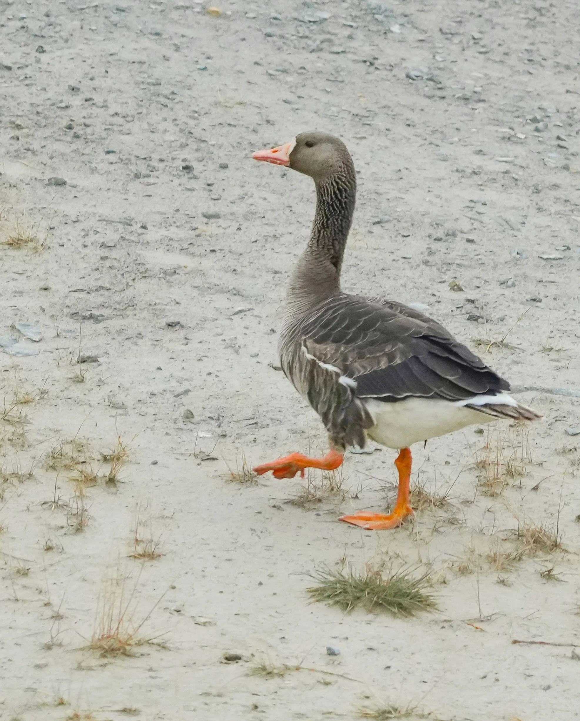
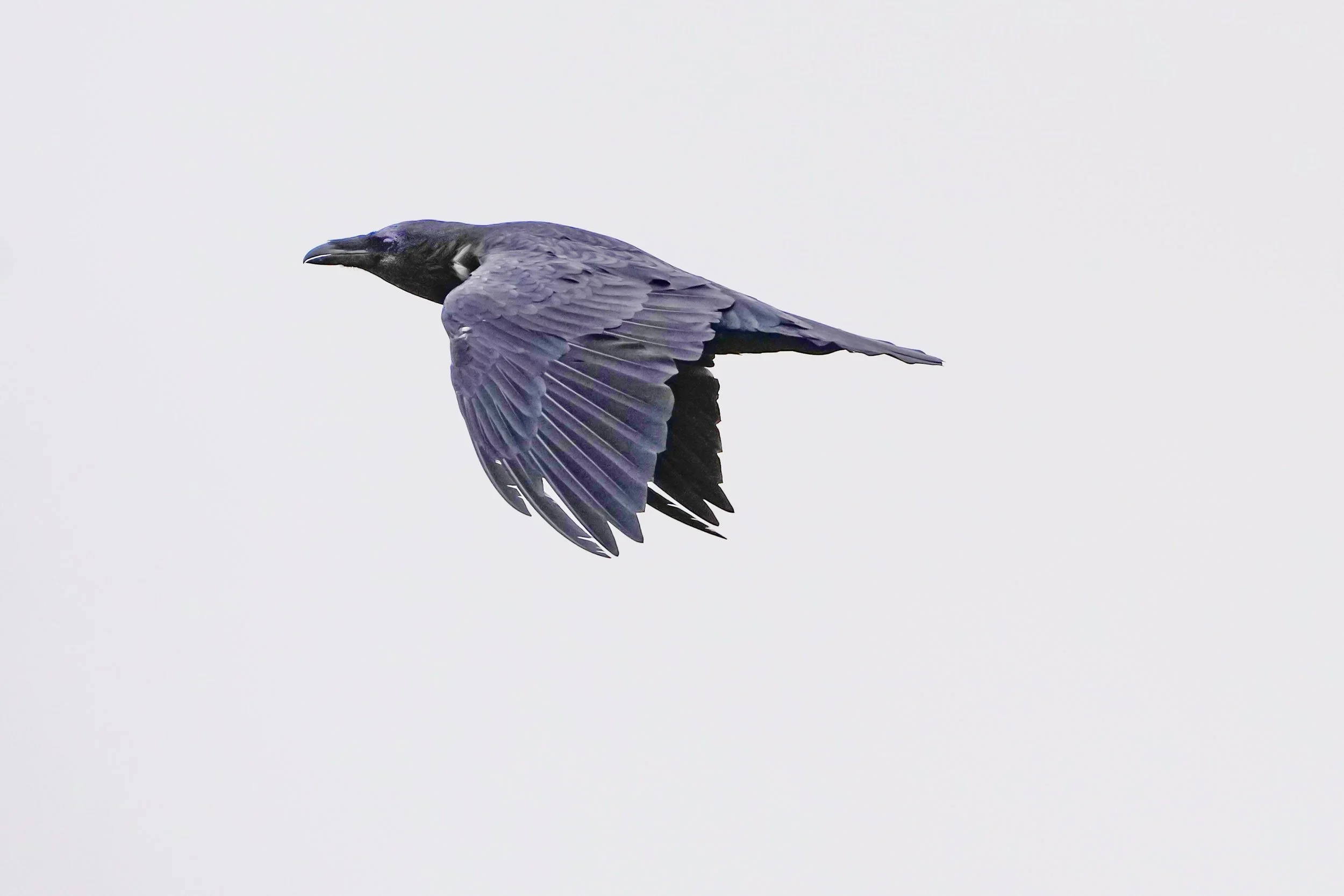
I finally saw some birds today! Mostly geese – Cackling geese, that look like small Canada Geese but sound completely different (they do cackle!), Snow geese (adults, juveniles, and some in a very cool blue morph phase), Graylag geese, Common Eiders, Snow buntings, I think two Baird’s Sandpipers but I need to get confirmation as they would be lifers for me, Glaucus gulls, and a raven!
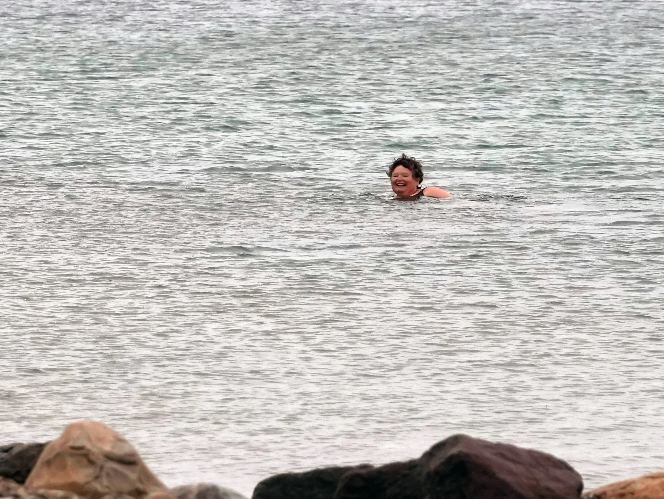
As we were climbing into the Zodiacs to return to the ship, we spotted a brave fellow passenger taking her own polar plunge! I’ve included a photo of this hardy soul taking a swim in the Arctic waters! BRRR!
I’ll stop writing and start posting photos – lots of them to share today!


The Northwest Passage - Day 9
Ulukhaktok to Murray Island
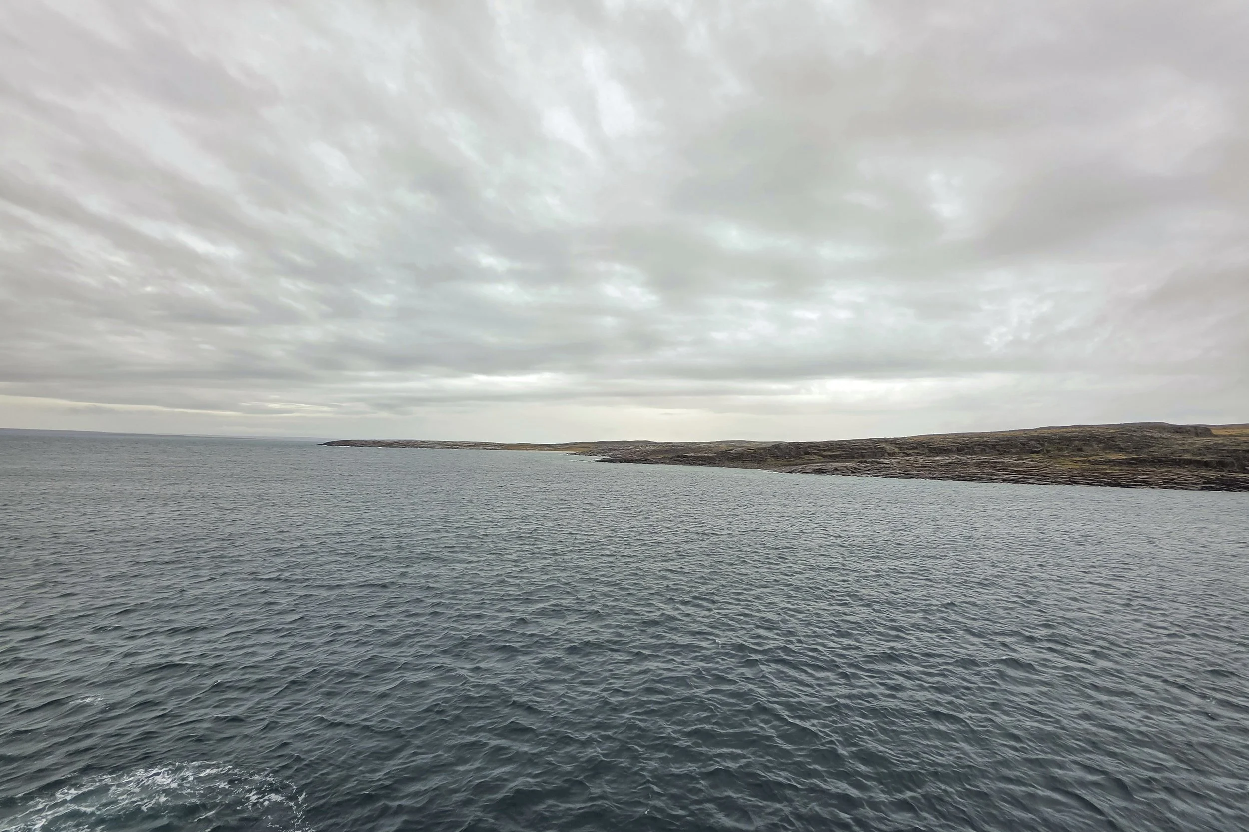
Today’s stop was a nature landing on the uninhabited Murray Island. I didn’t go ashore – I’m not quite back to 100% well. The cold rainy weather made the warm and comfortable ship seem like a better choice for me today! I applaud the groups that went out – the water is choppier than it has been and I saw a lot of spray flying! They require people to wear their waterproof pants, jackets, and boots on the Zodiacs for these types of landings – and for good reason! It was fun watching everyone disembark and begin climbing up the hillsides on the island.
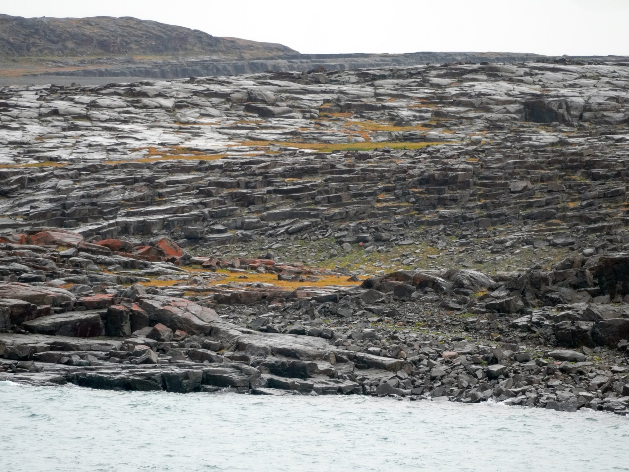
Murray Island is of interest to scientists for a number of reasons, especially climate research. There are ongoing studies investigating how rising global temperatures and receding sea ice cover are shifting phytoplankton populations in the Arctic Ocean. The island is home to Arctic hares and a small variety of birds, and bones indicate that caribou and foxes once lived there. It’s home to plants that grow in the tundra and has interesting natural rock formations/shapes that almost make it look like it’s been quarried but it hasn’t. The rocks here are primarily dolomite, quartzite, and basaltic sills.
Tomorrow, we’ll be arriving at Cambridge Bay in Nunavut, Canada. It’s one of the largest towns in the Northwest Passage, with about 2,000 residents. I’m really looking forward to going ashore there! It’s home to CHARS, the Canadian High Arctic Research Station. It also has a very active heritage center (the Pitquhirnikkut Ilihautiniq/Kitikmeot Heritage Society) that is working to preserve the oral histories, language, and culture of Inuit elders (or more accurately, Inuinnait elders – Copper Inuit). The ship has community ambassadors from several of the communities that we’ll visit on board as guest speakers, to share their insights and knowledge about the places we’re seeing. The session on Cambridge Bay left me really excited about our visit there tomorrow! We’ll also be picking up the ship’s crew members who couldn’t get to Nome before the ship sailed because of flight cancellations. I know everyone will be happy to have them back on board!
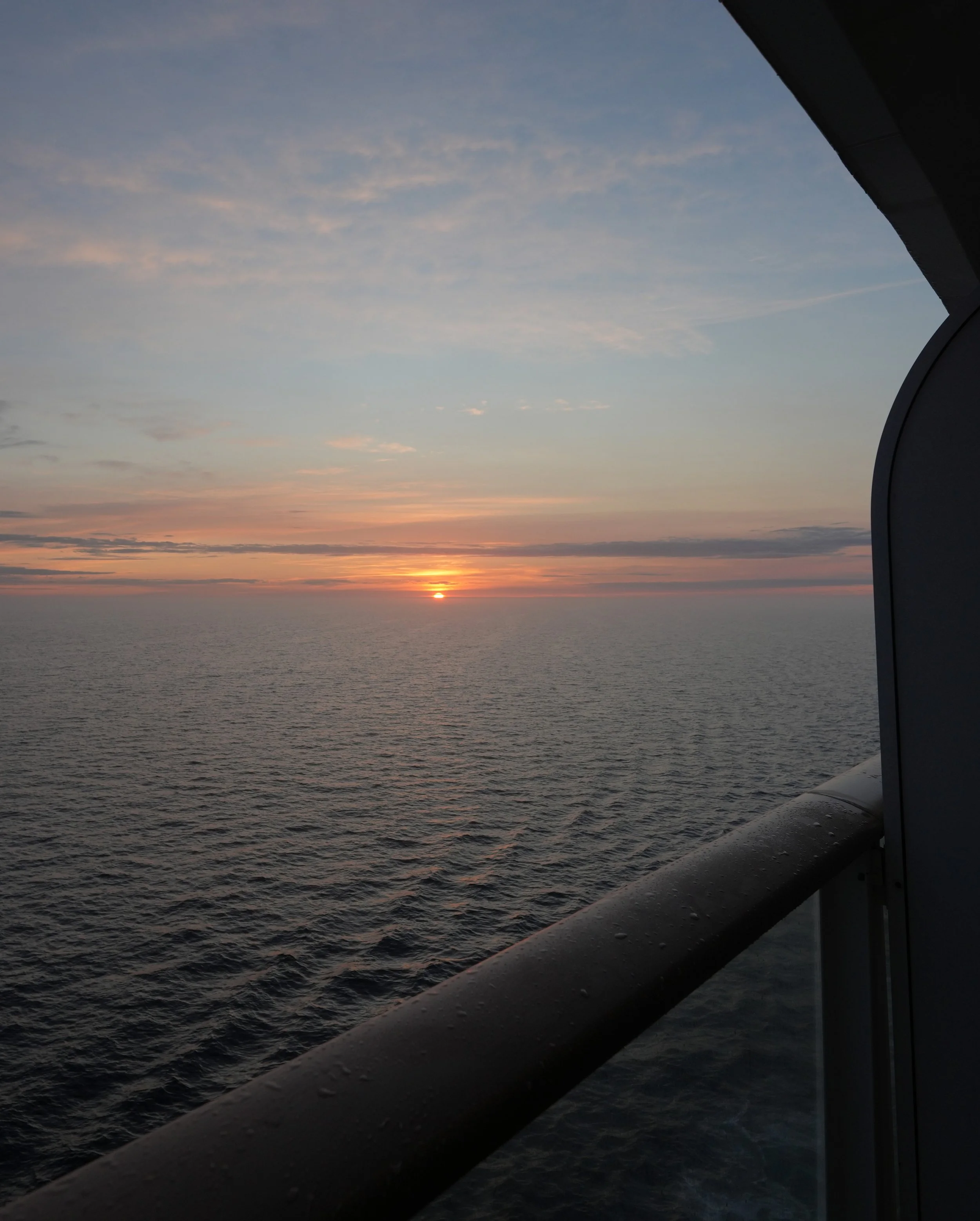
In today’s photos, I couldn’t resist including one that I took late last night of the sun setting. The sun’s glow was magnified by fog and the colors were incredible. The photo is exactly as I shot it - no edits or filters.


The Northwest Passage - Day 8
Smoking Hills to Ulukhaktok
The plans for this morning were to begin heading ashore to Ulukhaktok at about 9 AM. However, everything got shifted to an hour later due to the ship losing some time because of ice. I was really impressed with how quickly the schedule for the day got adjusted and how the changes were communicated.
Unfortunately, I began feeling poorly shortly before my scheduled departure time and decided to stay on the ship and get some extra sleep. I’ve been so excited about watching the ice and changing water views that, in this land of the midnight sun, I have a hard time making myself go to sleep at night. There’s always something to see! I need to start using my black-out curtains and getting some sleep rather than staring out the windows and running out to the balcony!
Ok, full confession: part of my fatigue today might possibly have been related to some idiot’s (that would be me) alarm app going off at 4:45 AM. (oops) It was still set to this ungodly hour because that’s the time I had to get up a week ago in Seattle to catch my flight to Nome. MANY apologies to my cabin neighbors who were likely woken up to the song “Happy” by Pharrell Williams! The irony of the song name is not lost on me here, because no one would have been happy to be woken by it at 4:45 AM! And my alarm app is set to increase the song volume fairly quickly if I don’t shut off the alarm. In my bleary state, I managed to pop up some ad that blocked the Cancel button and couldn’t figure out how to turn the dang alarm off! I tried turning the phone off but it wanted a passcode that I certainly couldn’t remember at that hour. In the end, I shoved the phone underneath me, under the blankets, and lay on top of it to mute it until the noise ceased about 10 minutes later! Lordy. No one near my cabin deserved that start to their day! (I have now changed my alarm app.)
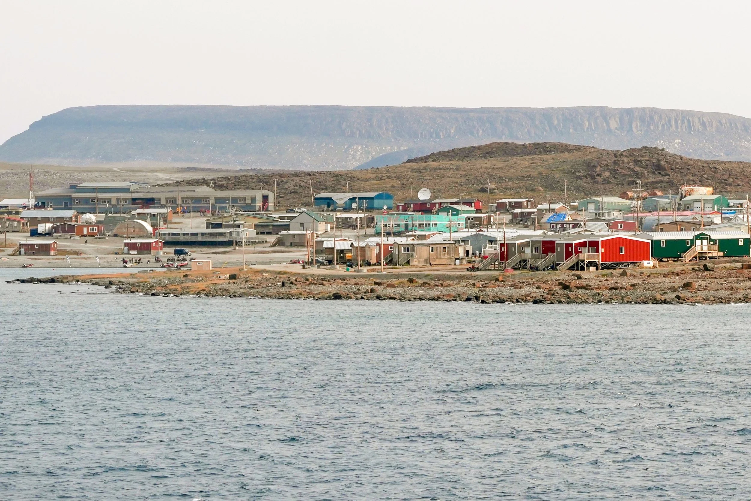
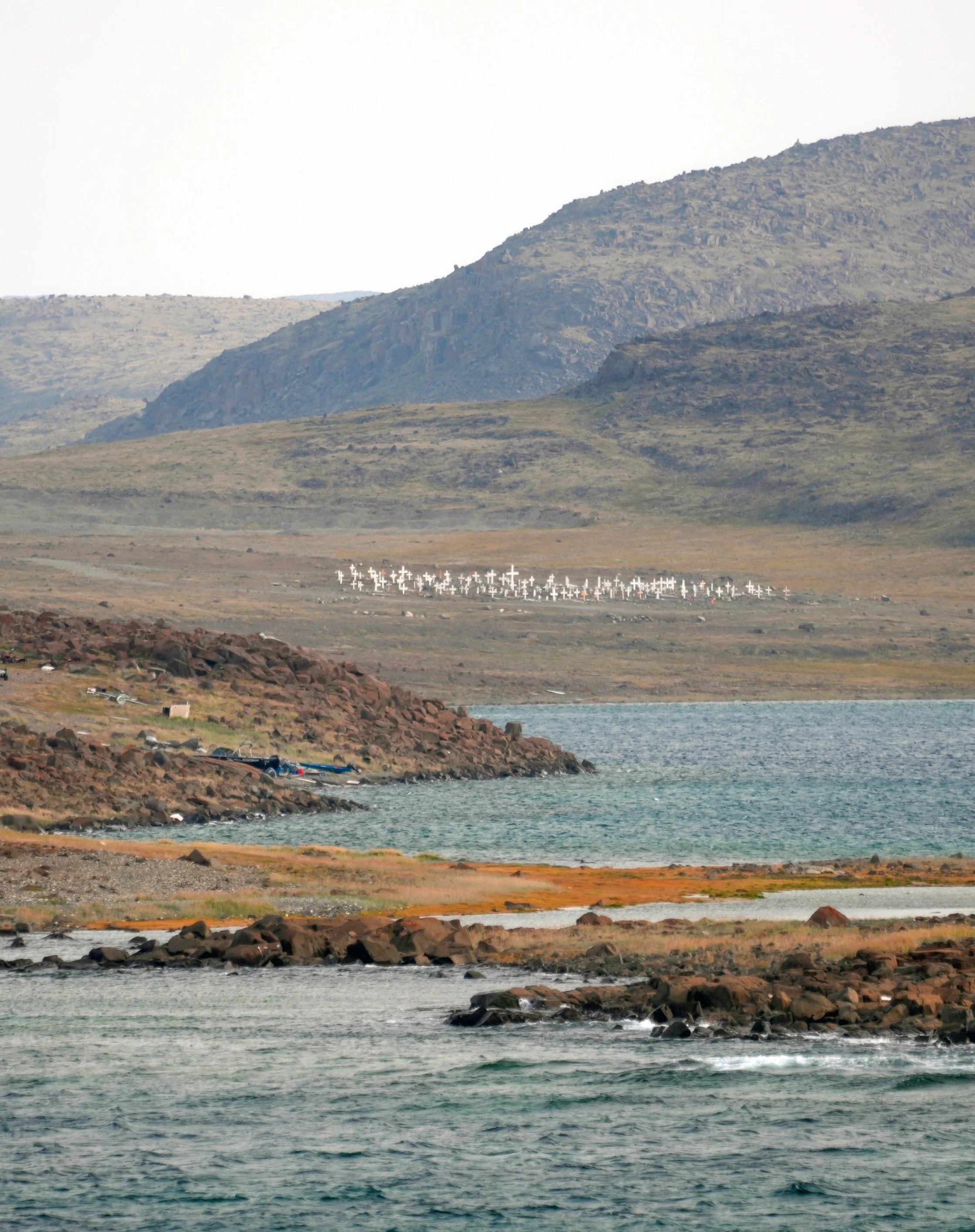
To recover from my early alarm trauma and embarrassment, I took a 3-hour nap while my more considerate and better-rested fellow passengers were ashore. I did get some photos from my balcony of the rugged-yet-picturesque community’s shoreline. I can’t even imagine the joy and relief that sailors have felt at the sight of that community beckoning to them during their Arctic journeys since it was established in 1937.
Some of the community members came on board after the groups’ visits ashore. They did a demonstration of athletic agility involving different styles of high kicks. They also did a musical performance. I got to watch the community members’ departure on Zodiacs. One of them looked up and saw me on my balcony and waved, so they all started waving at me. I told them good-bye and thanked them for coming, and they told me “See you next year!” That small exchange made me again feel how lucky we are to be able to interact with people from these remote and historic communities, visits that only a small number of people get to do, once a year.
I heard a few stories later this afternoon from people who went ashore. One bought a chocolate bar at the local store and it cost $9! Not because she was a tourist but because that’s how much it costs to get supplies this far north. Another was trying to find out how much gas cost per gallon but the only response she got was “you don’t want to know.” I saw a lot of ATVs on shore, and I suspect that they’re used a lot both for their ruggedness and also because they use so much less fuel than a truck. (Google says the current price for a US gallon of gas in Ulukhaktok is $9.16. Whoa!)
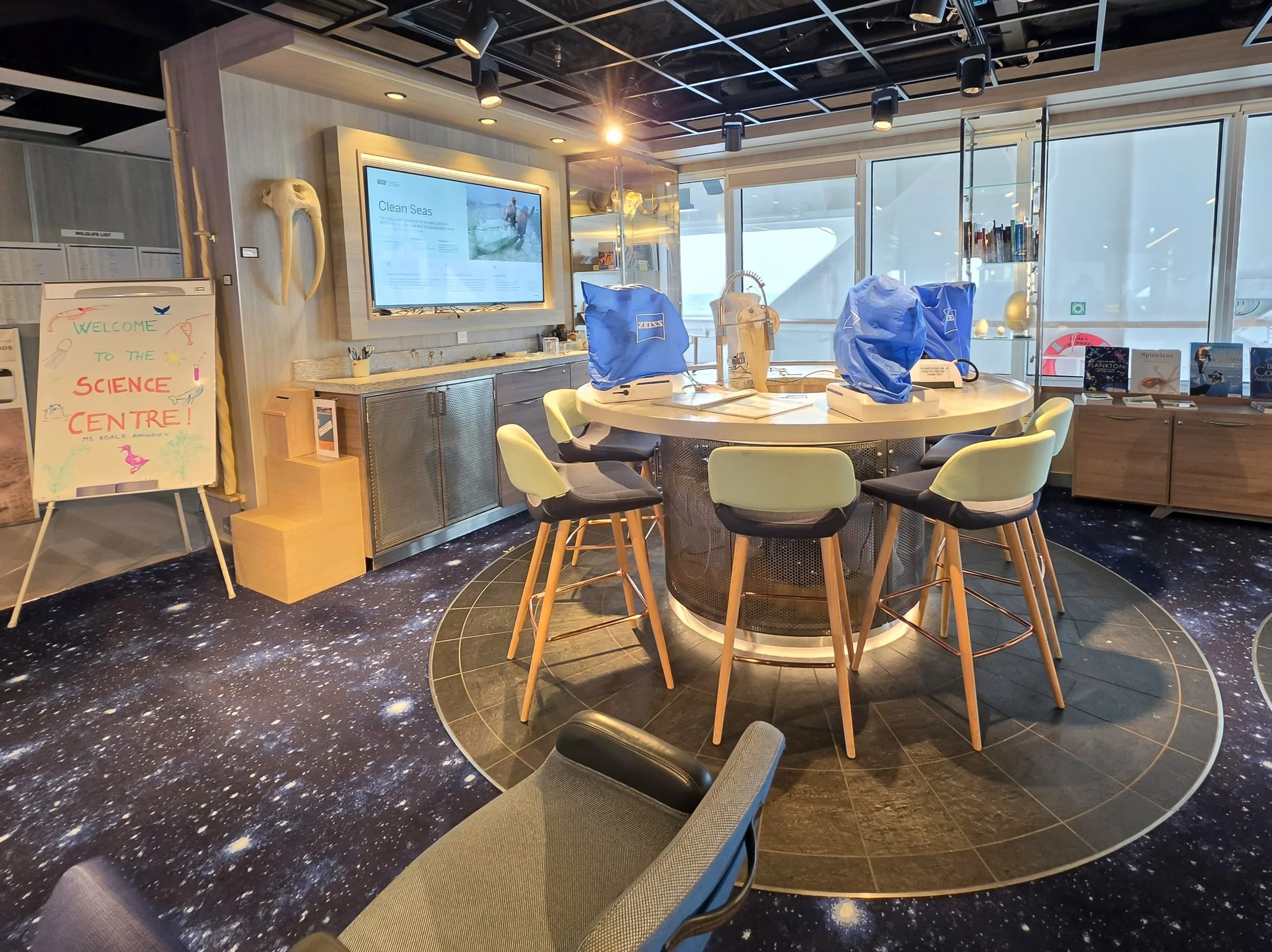
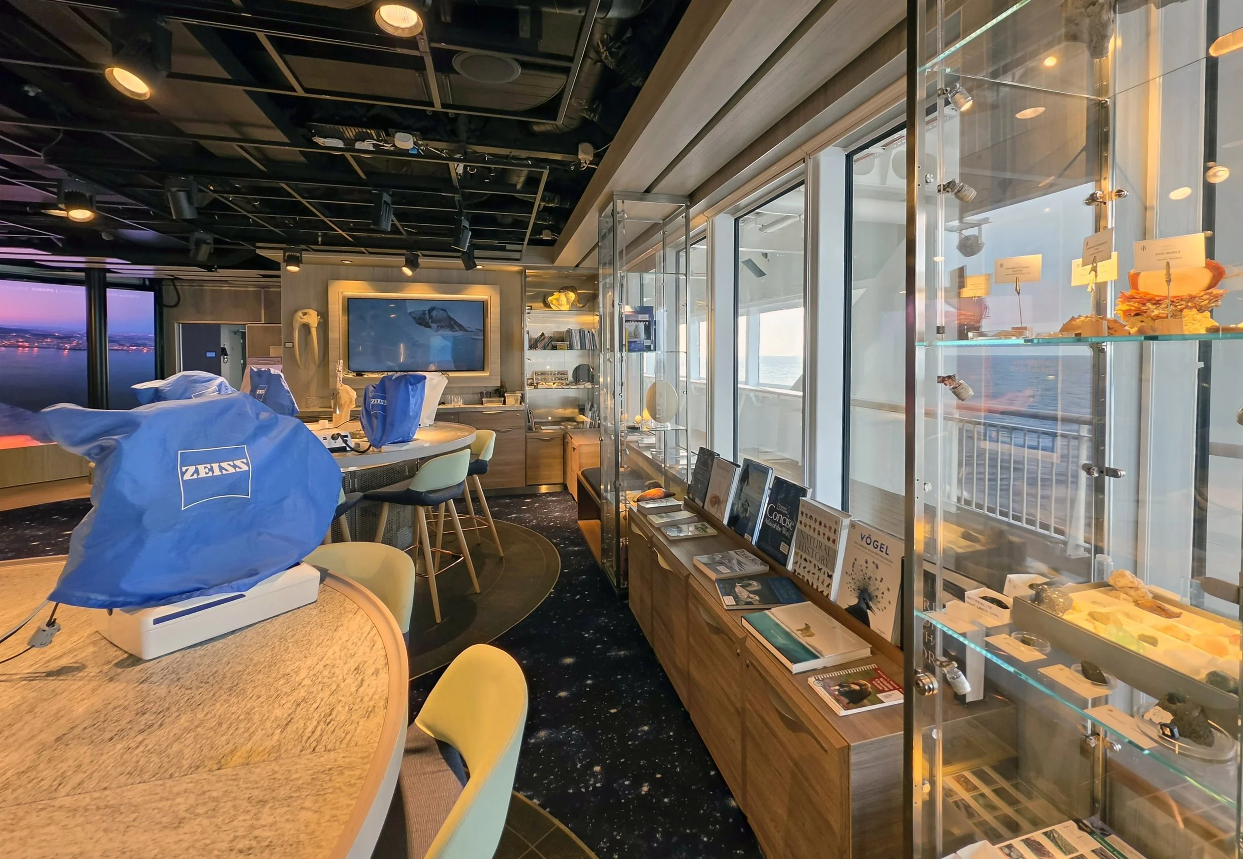
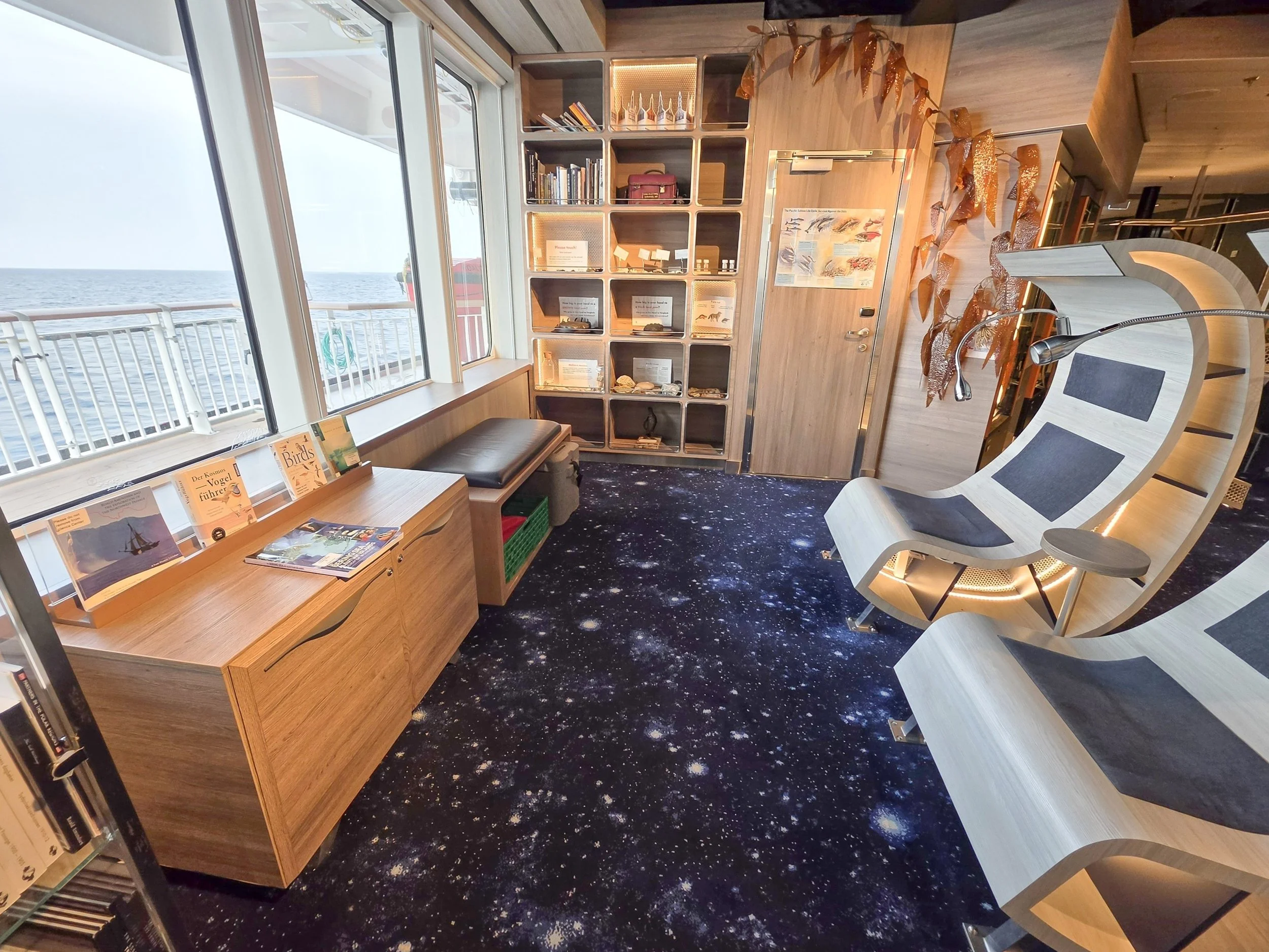
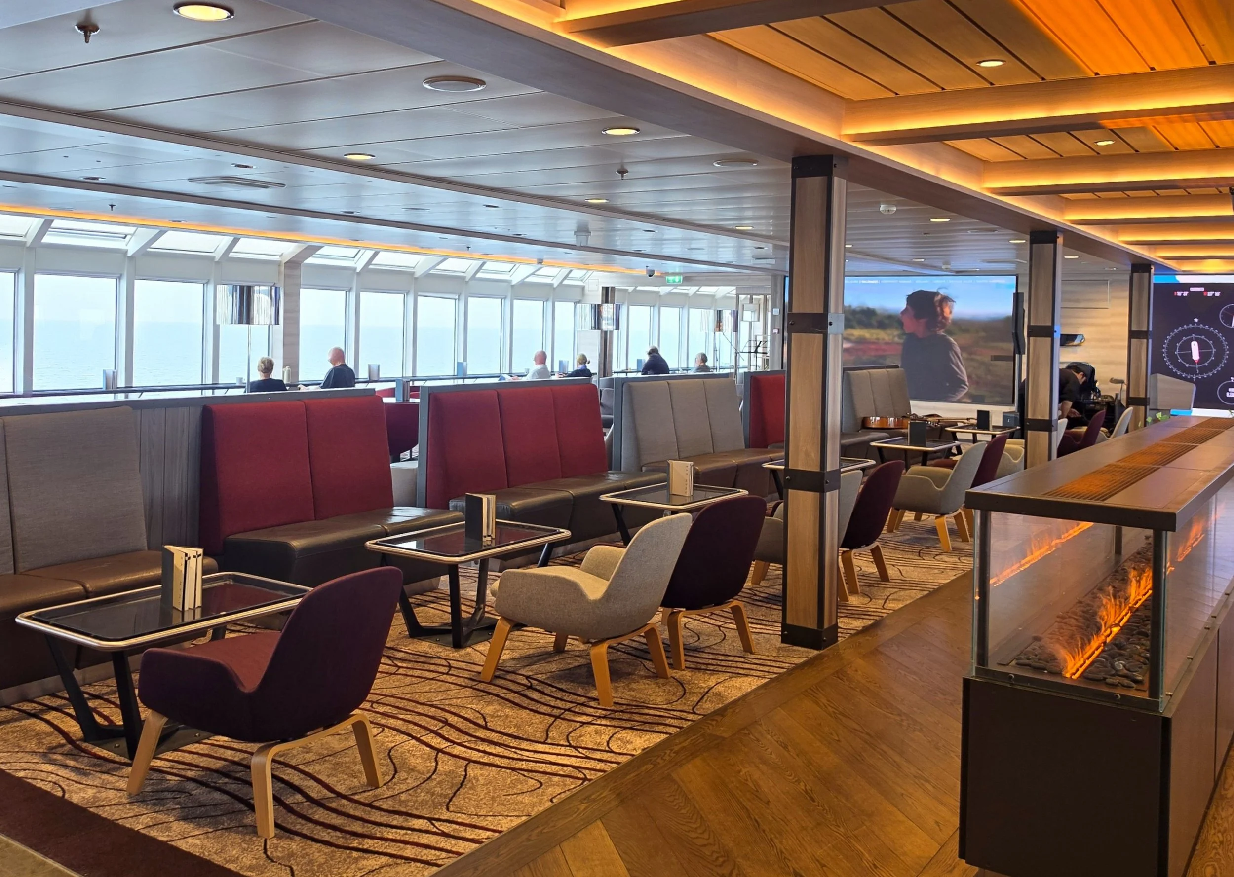
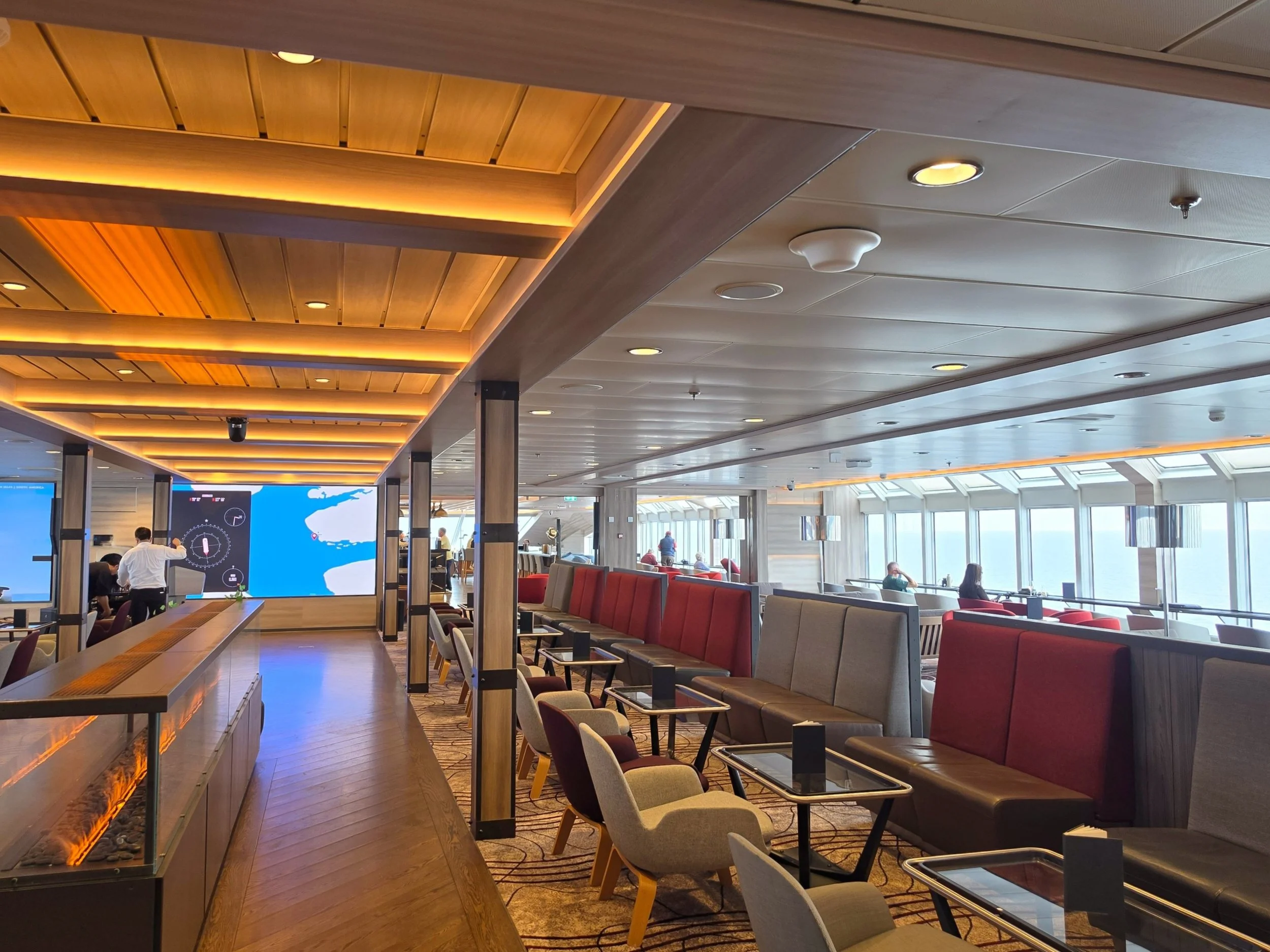
I’m posting a few photos that I took on the ship today. Some are of the Science Center (amazing facilities!) and the library (containing lots of books about the flora and fauna we’re seeing and about the ocean). I also took a couple of photos of the Explorer Lounge. I took these late this afternoon after everyone was back from the trip to town. This is the usual number of people there during the daytime…lots of comfortable places to sit with a fantastic view, and never difficulty finding a seat.
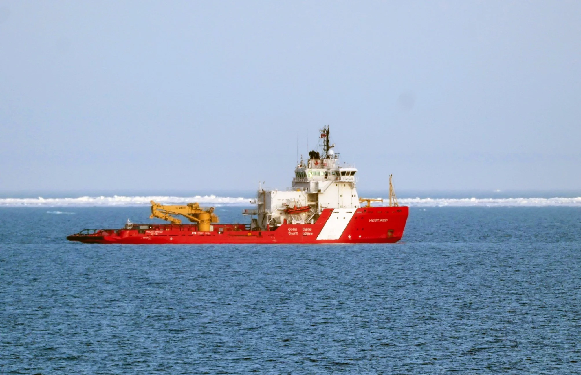
One of the photos today is of the Canadian Coast Guard ship Vincent Massey. We passed it last night. The ship is 274 feet long, 59 feet wide, and I believe has a crew of 19. The Vincent Massey is an ice breaker that helps keep shipping channels clear and is also equipped to provide emergency services such as search and rescue and environmental response. This is the only ship we’ve seen since leaving Nome except a very blurry glimpse through twilight and fog of the National Geographic Resolution (a polar expedition ship, like the one I’m on) a couple of nights ago.
The photo looking down at the Zodiac full of people wearing yellow jackets is the Expedition team heading ashore to get ready for passengers to arrive in a little while. I could also see community members waiting on shore, ready to welcome them.
Still lamenting missing the polar bear sighting yesterday. ☹
If you’re planning to make this trip:
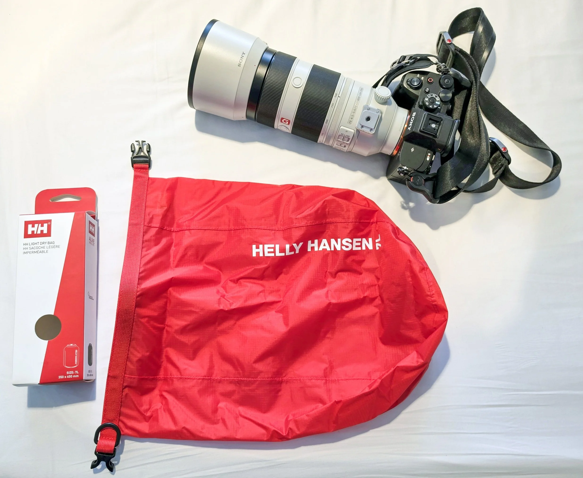
I included a photo of my favorite onboard purchase so far: this 7L Helly Hansen lightweight dry bag, from the ship’s store. I brought a 15L heavyweight dry bag for my camera gear on the Zodiacs, but now that I’m here, it seems like overkill. I think it would be cumbersome on the Zodiac and most of the excursions are short enough to not require much gear. This small bag is big enough for my Sony camera with my 100-400mm lens plus my HX-gifted water bottle and a spare battery and lens cloth. The only drawback is that it doesn’t include a shoulder strap so I’m going to steal the one from my large dry bag so I can have both hands free when getting on and off the Zodiac and when shooting.
Speaking of the ship’s store: they have a great supply of warm clothing and waterproof gear and some really nice gift items. They have some remedies for seasickness, which is helpful. They have a very limited supply of toiletries, so pack what you need. They also have very limited snacks, and they can’t get a supply truck in to get more, so when they run out, that’s it. So if you have a favorite snack that you’ll miss during the trip, pack it, too. They currently have lots of Pringles potato chips and Haribo candy, but no crackers or chocolate, and they’re quickly running out of their cookie supply (all shortbread).




The Northwest Passage - Day 7
Amundsen Gulf to Smoking Hills
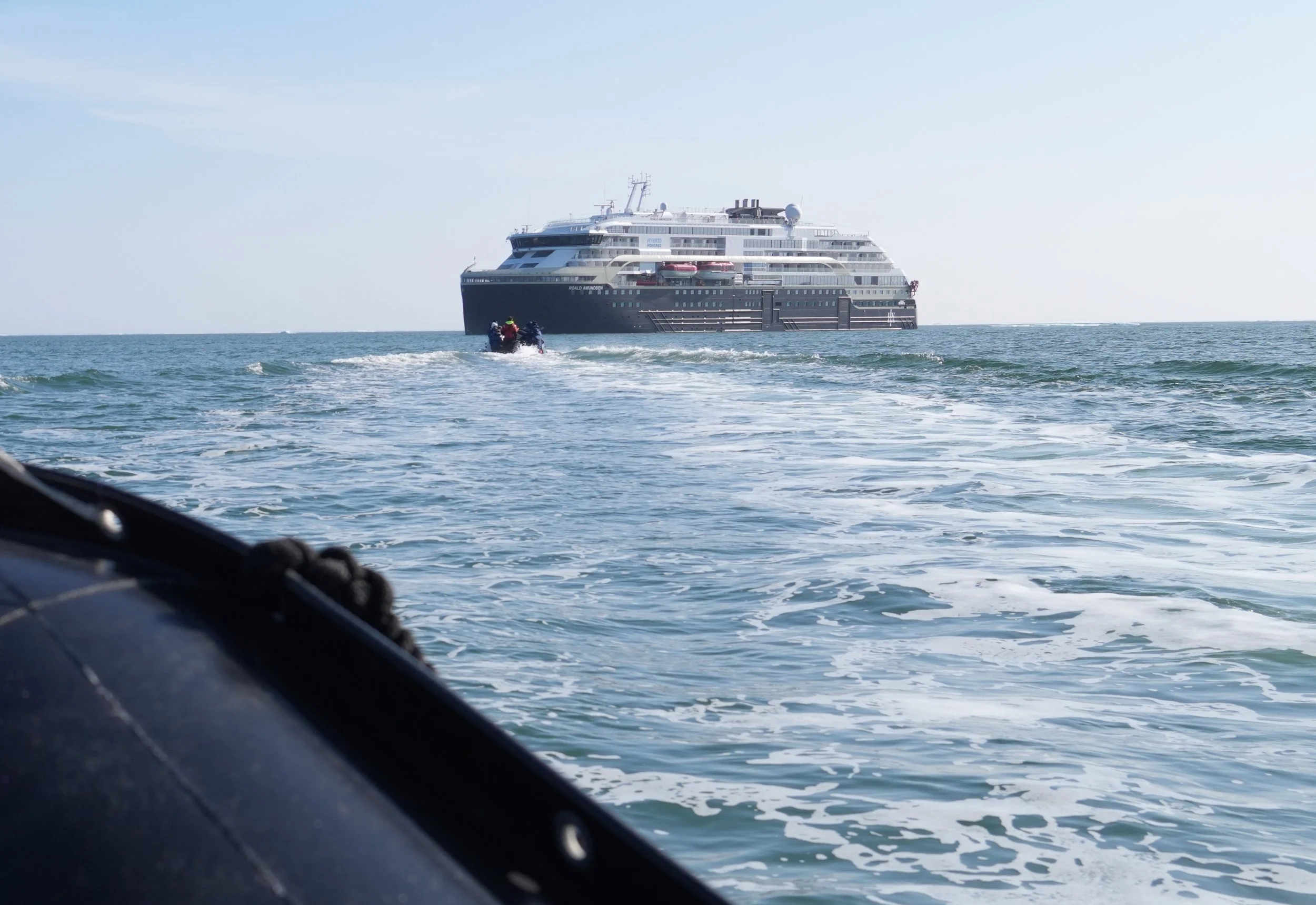
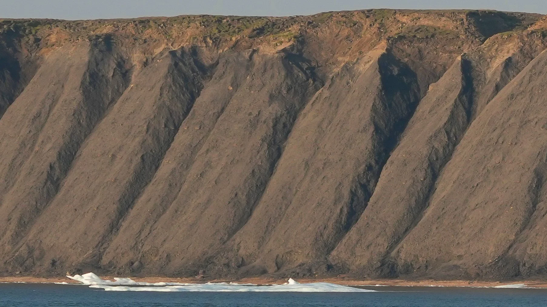
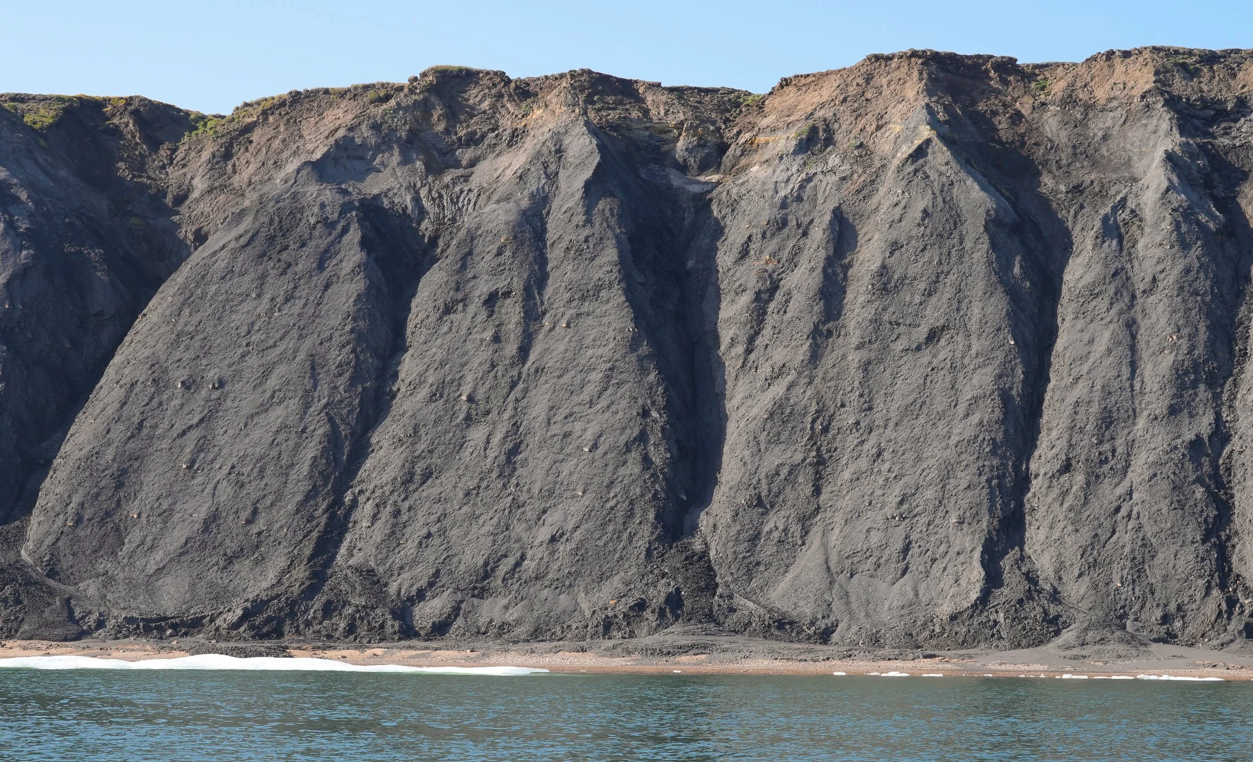
What a fun day! We had our first Zodiac outing today! We got to go out and explore along the shoreline of Smoking Hills. The Zodiac trips here that don’t include shore landings remind me a little bit of being out on safari drives in South Africa. We’re out to see what we can see from the boats, and every trip – even every Zodiac – provides a slightly different experience. I was so happy to discover that Martin, the ship’s photographer, was on the Zodiac I went on. He’s a great photographer, knowledgeable guide, and is super funny and kind! And we were following a Zodiac led by Dougie, who is known as a great wildlife spotter. Dougie is one of the naturalists on board and I’m always happy to see him on deck during the wildlife watches because he definitely has eagle eyes! Apparently, this was the first trip HX has done to Smoking Hills where the Zodiacs were allowed so close to shore. That was special, and I loved seeing the varying textures and colors of the hills. The beach was largely pebbles, which were also beautiful. One of the things I had been most looking forward to was getting close to the ice floes we’ve been watching from the ship. They are even more beautiful up close! Art crafted by nature. We didn’t see a lot of wildlife but didn’t expect to in this area. We did see a Peregrin Falcon perched up on one of the cliffs and Dougie’s boat saw marmots! We looked for them but missed them. I didn’t have a long lens with me on the Zodiac so my Peregrine shot isn’t worth sharing here but I loved knowing that this formerly highly at-risk species is thriving even in the far, far north. Today also brought momentary excitement and then, for me, crushing disappointment! The call that I’ve been hoping for went out as the ship was threading its way through thick ice patches after leaving Smoking Hills. Polar bears! The announcement was that two had been spotted far out on the ice on the starboard side of the ship at the 2:00 position. My balcony is on the starboard side and has a clear view of 2:00, so I grabbed my binoculars and camera and rushed out to the balcony to search. And search. And search. I was still searching as the ship turned and moved on. Sigh. At an evening talk, one of the naturalists mentioned that many people didn’t see the bears. Since they were so far out they were like tiny white grains of rice on the ice. Another passenger (Gary) told me that he and his wife could see them from their suite on deck 8 and that I probably had to be that high up to see them over the taller bits of ice (I’m on deck 7.) They only saw them because they’d invited another passenger to come up and she had a very long camera lens they could look through. I hope to get to see her pictures during the trip! And as sad as I am about not seeing them, we’re heading into areas where they’ve been seen before, so maybe I’ll get lucky! I have lots of photos from the beautiful scenery today so I’m changing the blog format a little bit to provide a better look at the photos. If you’re planning to make this trip:
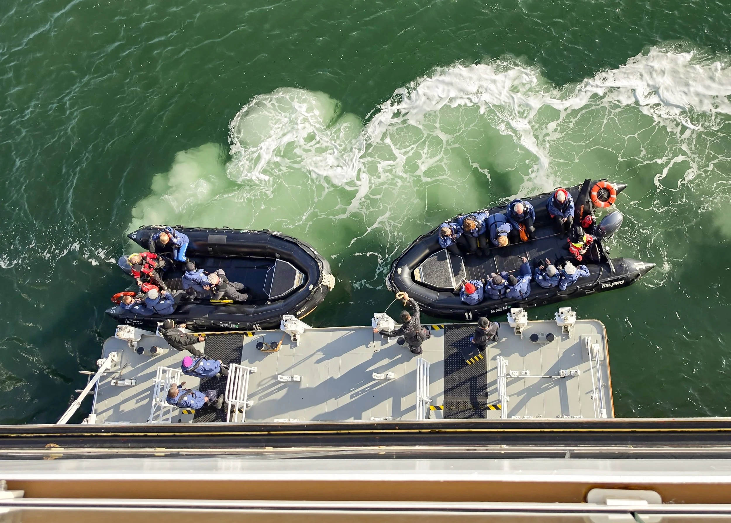
I had been worrying about how hard it would be to get on and off the Zodiacs from the ship. I have arthritis in my knees and they don’t always do what I want them to. However, it worked out just fine. The Expedition team members are experts at keeping us safe and assisting with disembarking and boarding from the Zodiacs. There’s a portable step they have everyone use to step down from the inflatable side of the Zodiac onto the deck, and then you immediately go to your spot on the side of the Zodiac and sit down. There are straps on the deck that you tuck your boot toes under to keep you from toppling out if there’s a sudden movement. The sides of the Zodiac are quite wide and comfortable to sit on. I started out holding on to a rope that ran along the edge of the Zodiac for extra stability but as soon as I started taking pictures (using both hands), I realized that the rope wasn’t needed. You do need to protect your camera from spray. Since I had a smaller lens on today, I kept mine on a neck strap zipped inside my jacket while we were moving fast and then pulled it out as we cruised slowly along the shoreline.
As a photographer, it’s a quandary as to which lens to take on which type of outing. For Zodiac trips like today, I wish I’d have taken my longer lens for the Peregrine and to look for marmots. But I would have missed the ice shots and would only have had cell phone photos of the shoreline. It’s very ill-advised to changed lenses on a moving Zodiac, so…I’ll try taking different lenses on different outings and see what works. If you’re considering a bridge camera (one with a fixed lens that covers a wide range of zoom lengths), that might be a good option on a trip like this, if you can part with your traditional mirrorless/DSLR.

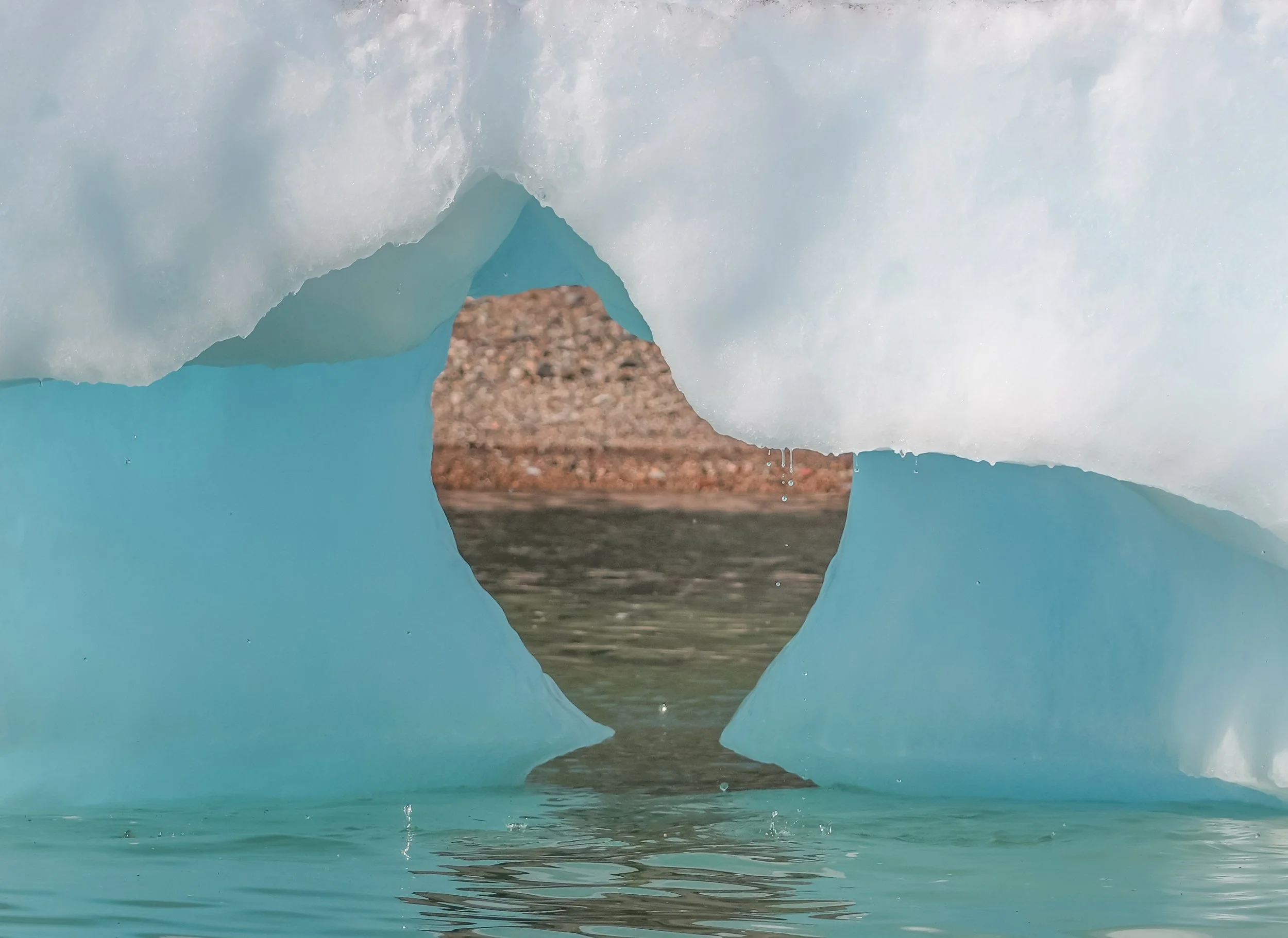
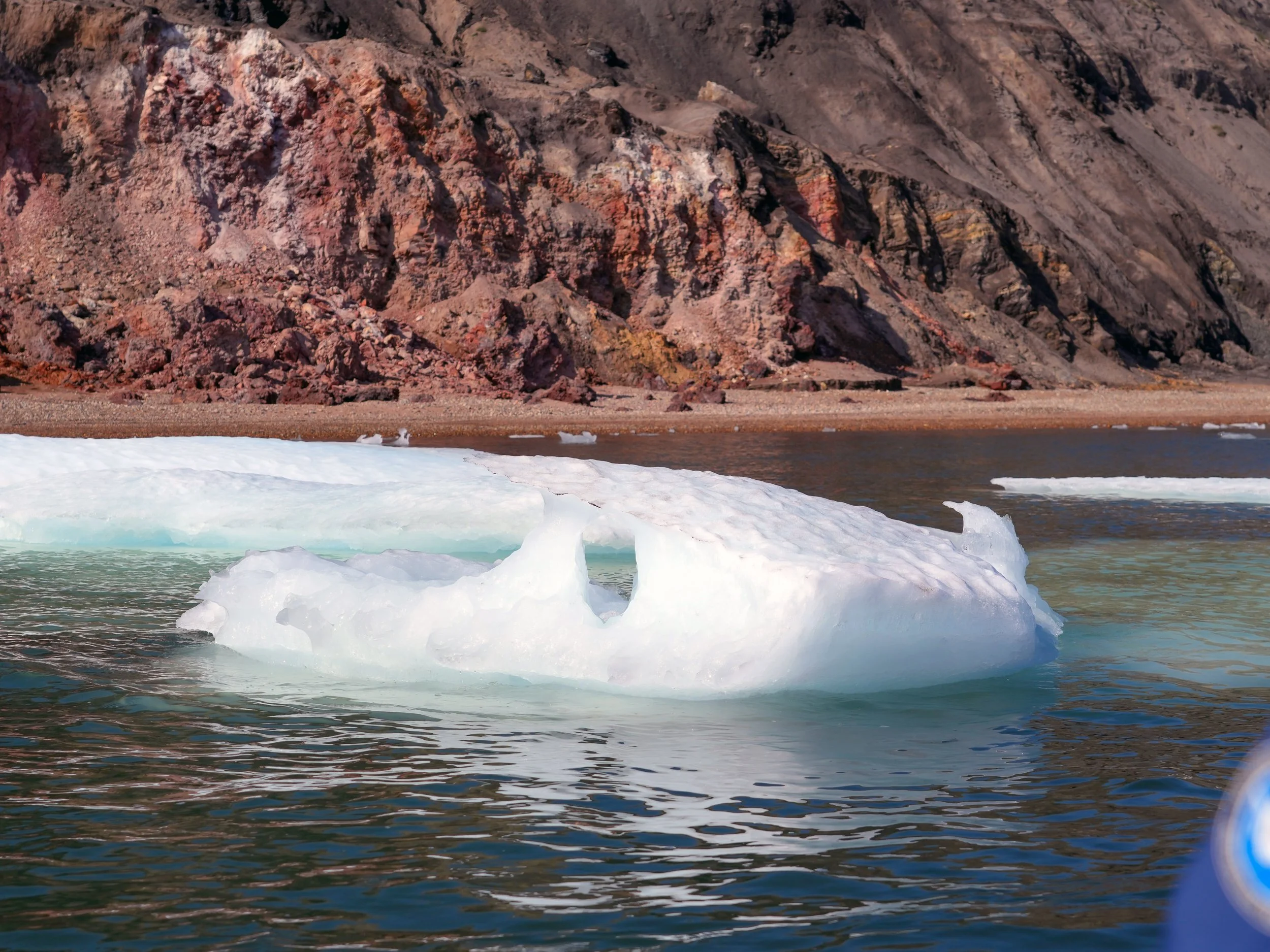
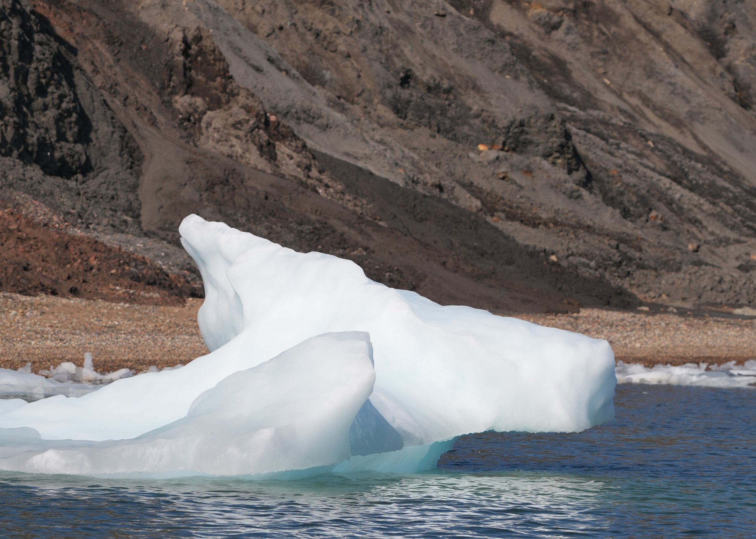
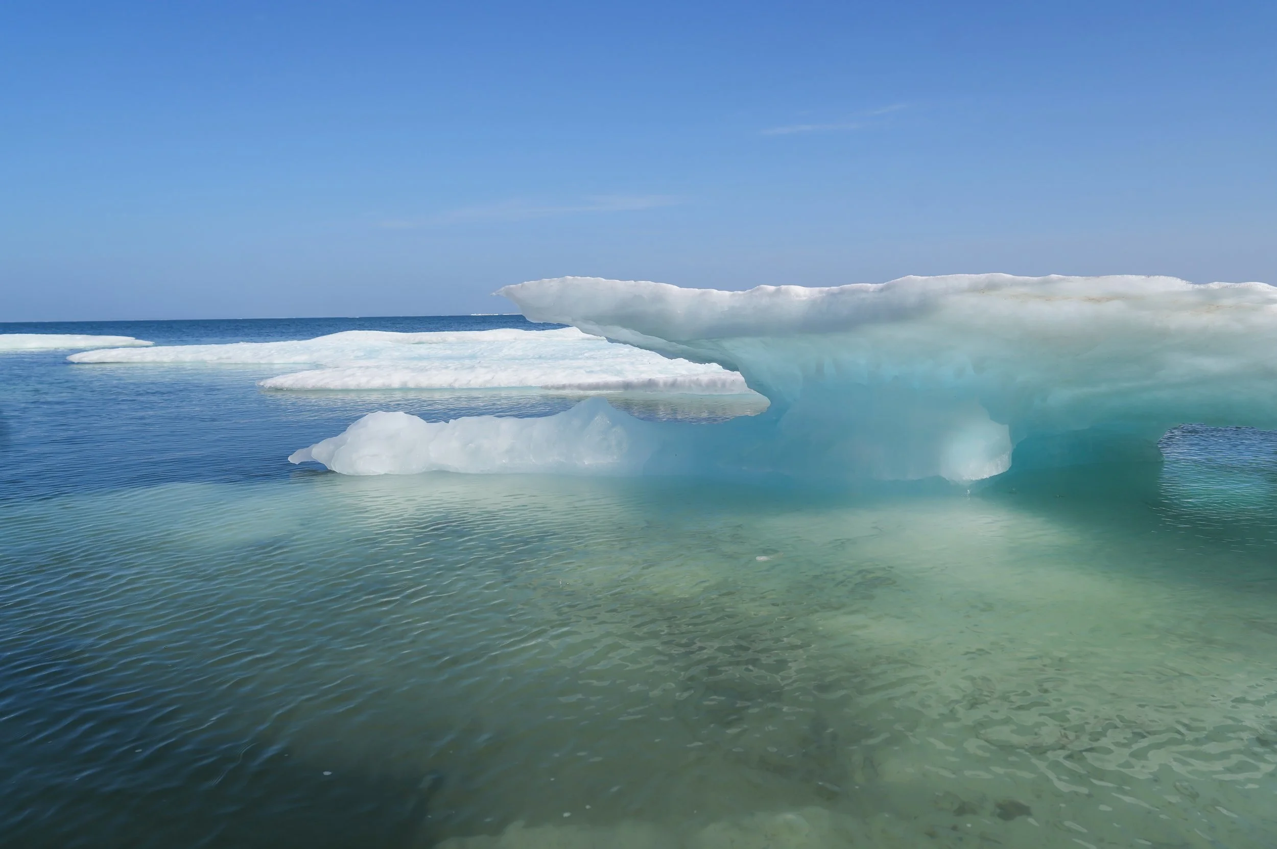

The Northwest Passage - Day 6
Canadian border heading toward Amundsen Gulf
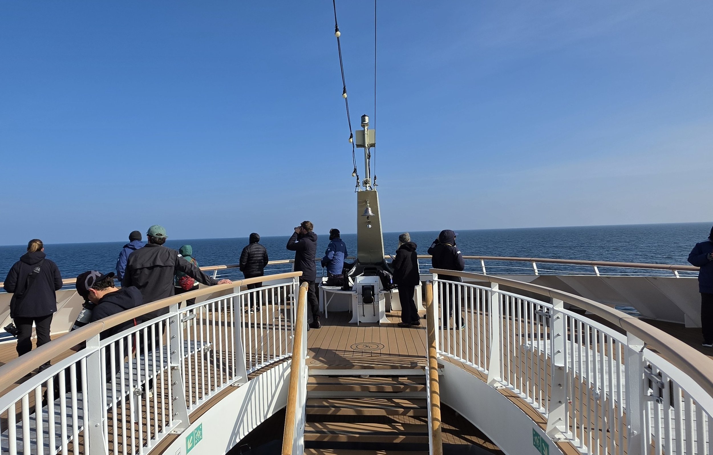
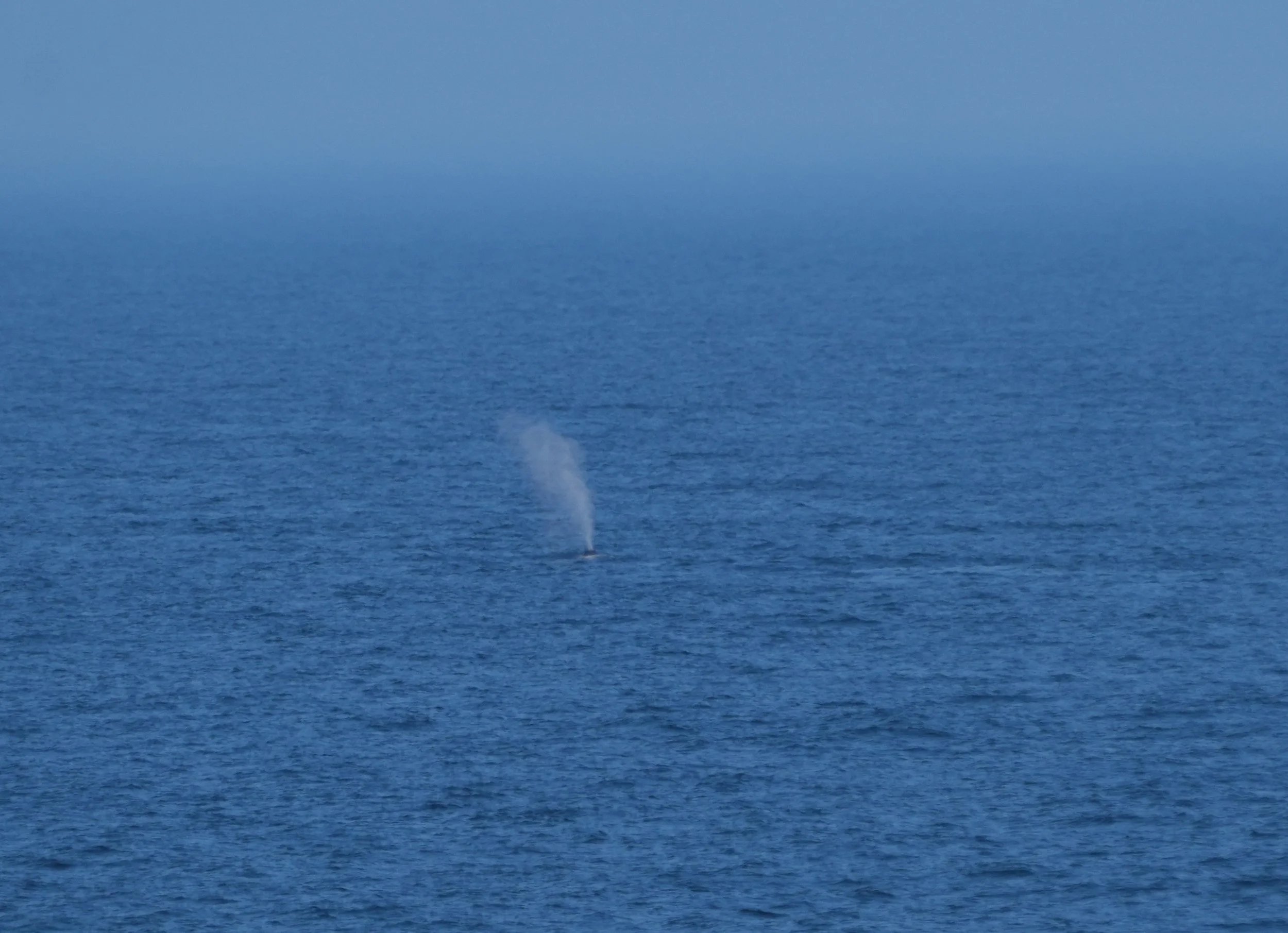
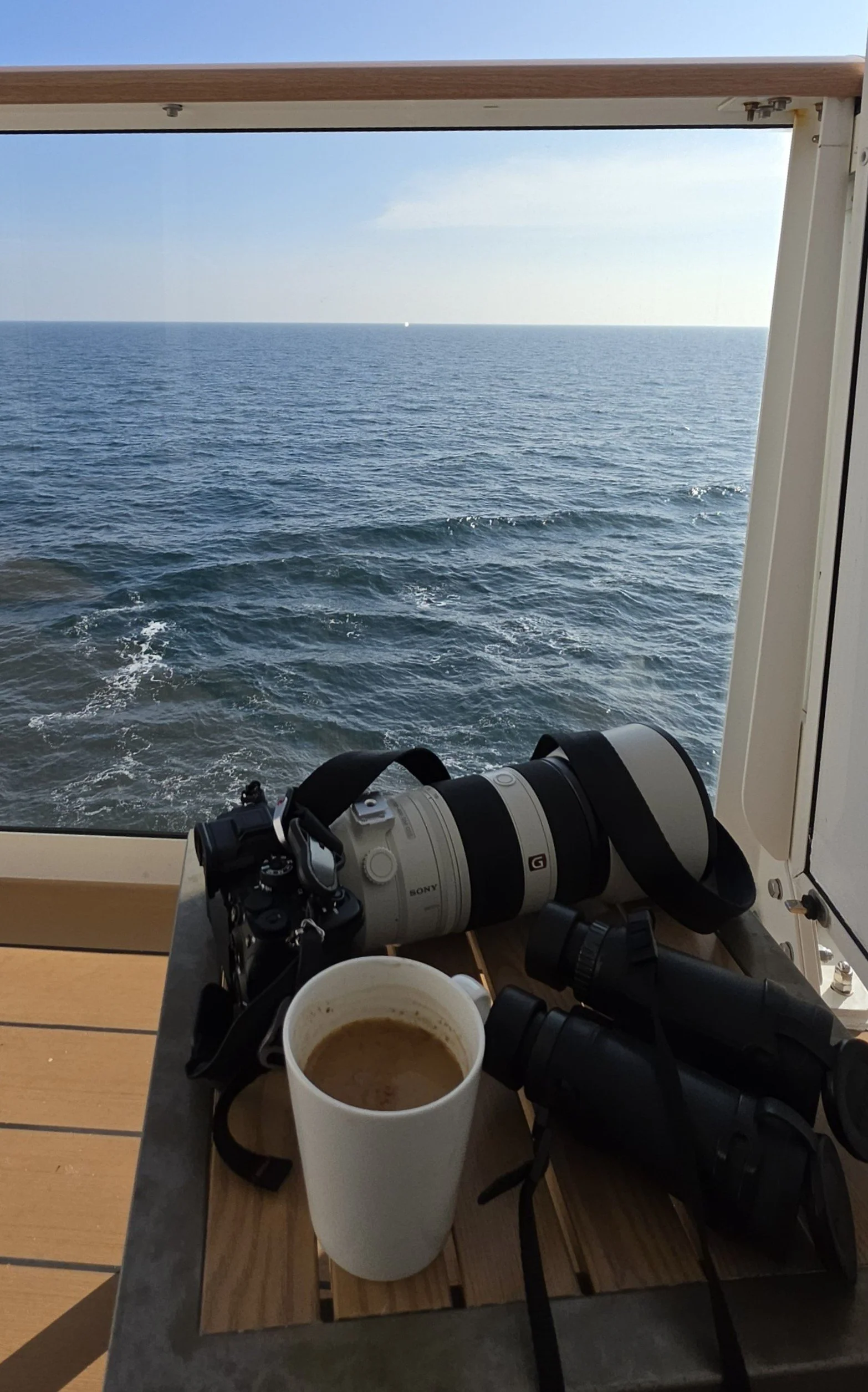
Today is our last sea day before we enter the Northwest Passage. Once again, the captain found clear water overnight and we spent all of today making good speed in open water. Tonight, we have to get through one final large patch of sea ice to reach the Amundsen Gulf. The plan is for us to arrive at Smoking Hills early in the morning. We’ll clear Canadian entry there and then will be allowed to begin Zodiac and shore excursions.We spent a lot of today with Bowhead whales in sight! Unfortunately, they didn’t come close enough to the ship for me to get a good photo, but I got plenty of bad ones! It was hard to know how many whales were around us at any given time. We saw them on both sides of the ship and in front of it. There were times when 6 or 7 whales surfaced and showed us a spout all within seconds of each other. There were likely a larger number still under water when these surfaced. In fact, we saw so many whales in the distance that everyone got super excited when an Eider Duck flew by! (I got some bad photos of her, too.)We’ve been so fortunate with the weather and calm seas so far! It was lovely sitting in the sun on my balcony today. I don’t think we’ve had seas above 3 feet high, and many times, they’ve been still and calm. We’ve had some fog but also a good amount of sunshine. Tomorrow is expected to be another really nice day.At tonight’s “Plans for Tomorrow” briefing, we were excited to learn that once we are approved for entry to Canada in the morning, we’ll begin Zodiak, science boat, and kayak excursions around Smoking Hills! Smoking Hills is located on the Arctic Ocean, along the east coast of Cape Bathurst in Canada's Northwest Territories. We won’t land there because the hills actually are smoking, the ground is too hot in places to walk on, and the air isn’t great to breathe up close (well, okay – it’s toxic). The earth here continuously smolders due to sulfur-rich oil shales that spontaneously ignite when exposed to oxygen. The fires also burn minerals in the soil and create bright red, yellow, and black colors on the rock cliffs. (I like one of the Innuit explanations for the smoke better, though. It says that the smoke comes from the cooking fires of the spirits who live there.)Although we won’t be landing at Smoking Hills, we’ll be taking the small Zodiaks and kayaks around it. Each group that goes out will get about an hour to explore. A science boat will also go out, with guests who are volunteering to help collect water samples for analysis in the lab on the ship. It should be a really fun day and our first excursion in the Northwest Passage. And while no one actually says the words “polar bear” in case they jinx things, we did hear that this is an area where white furry things have been seen!Note: I used AI on the photo of the Fredheim Restaurant on the Roald Amundsen. I wanted to show the beautiful view that it has, but my photo captured people’s faces without their permission. So I used AI to replace the people. The other photos are the Observation Deck on the ship, one of my attempted Bowhead whale photos, my gear for my delightful time in the sun on my balcony, the Science Center during a talk about whales, the Fredheim restaurant photo, and a sunset (11 PM) photo of the rosy light on the ice field as we approached.
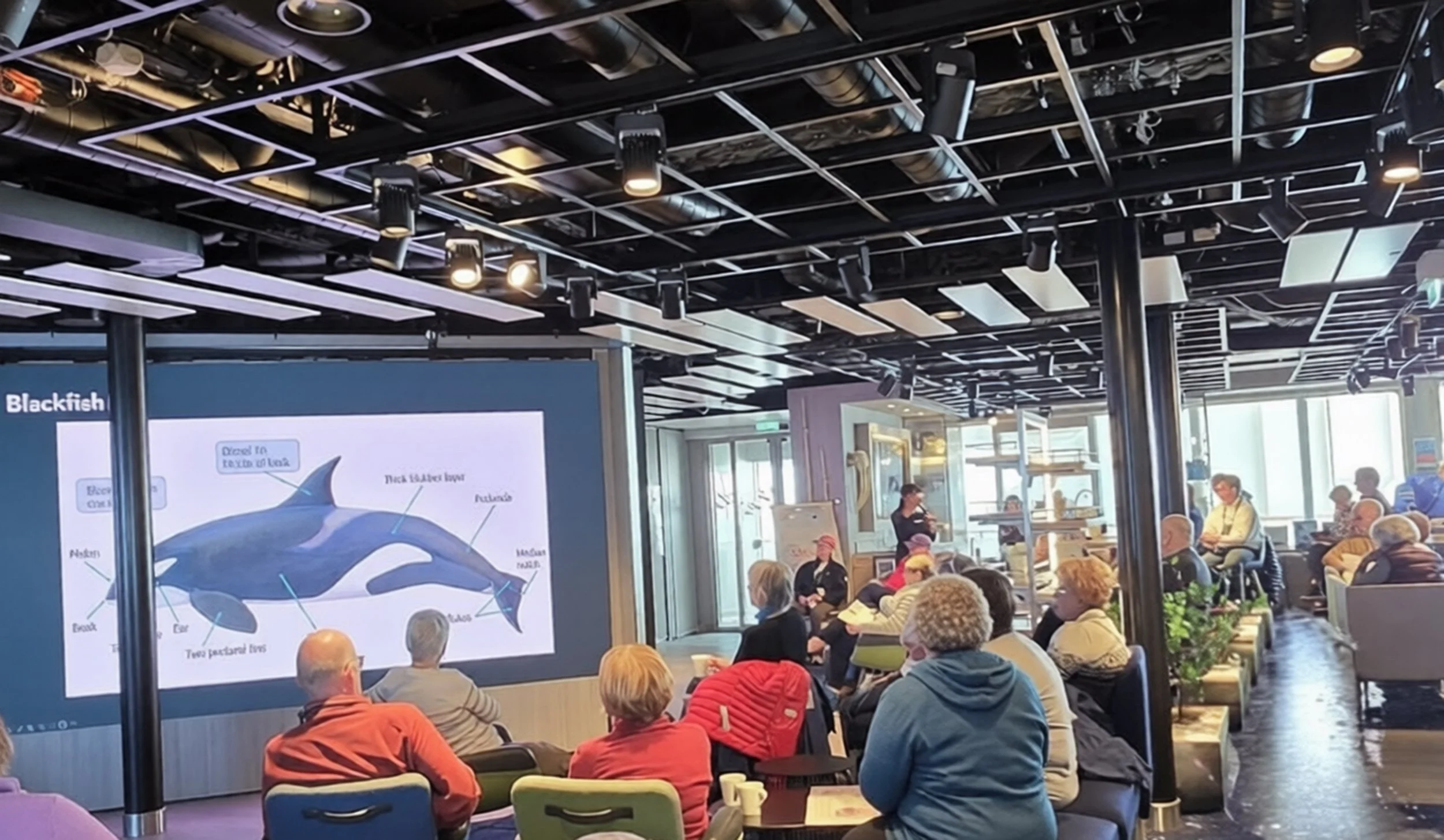
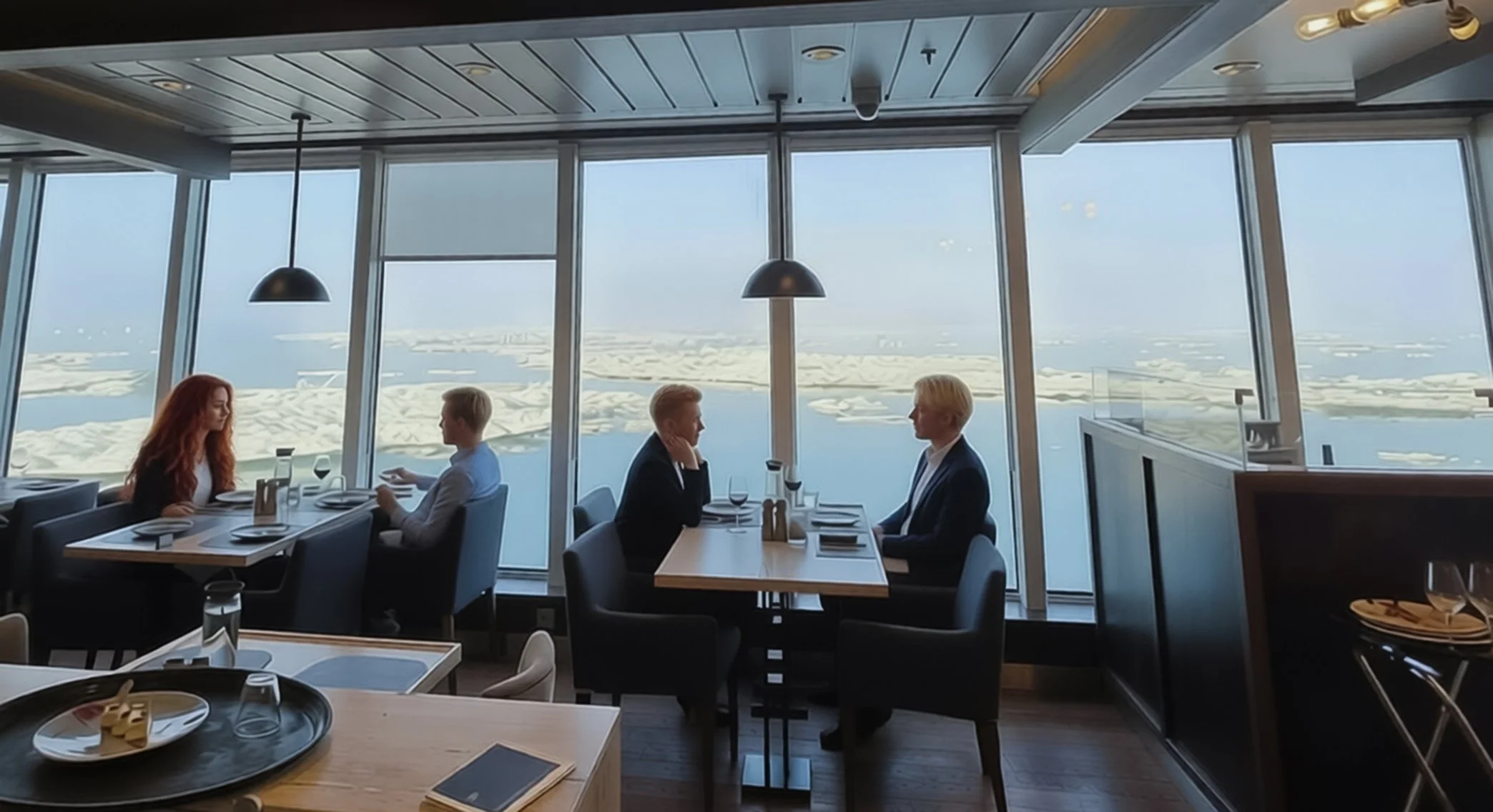
The Northwest Passage - Day 5
Prudhoe Bay to the Canadian border
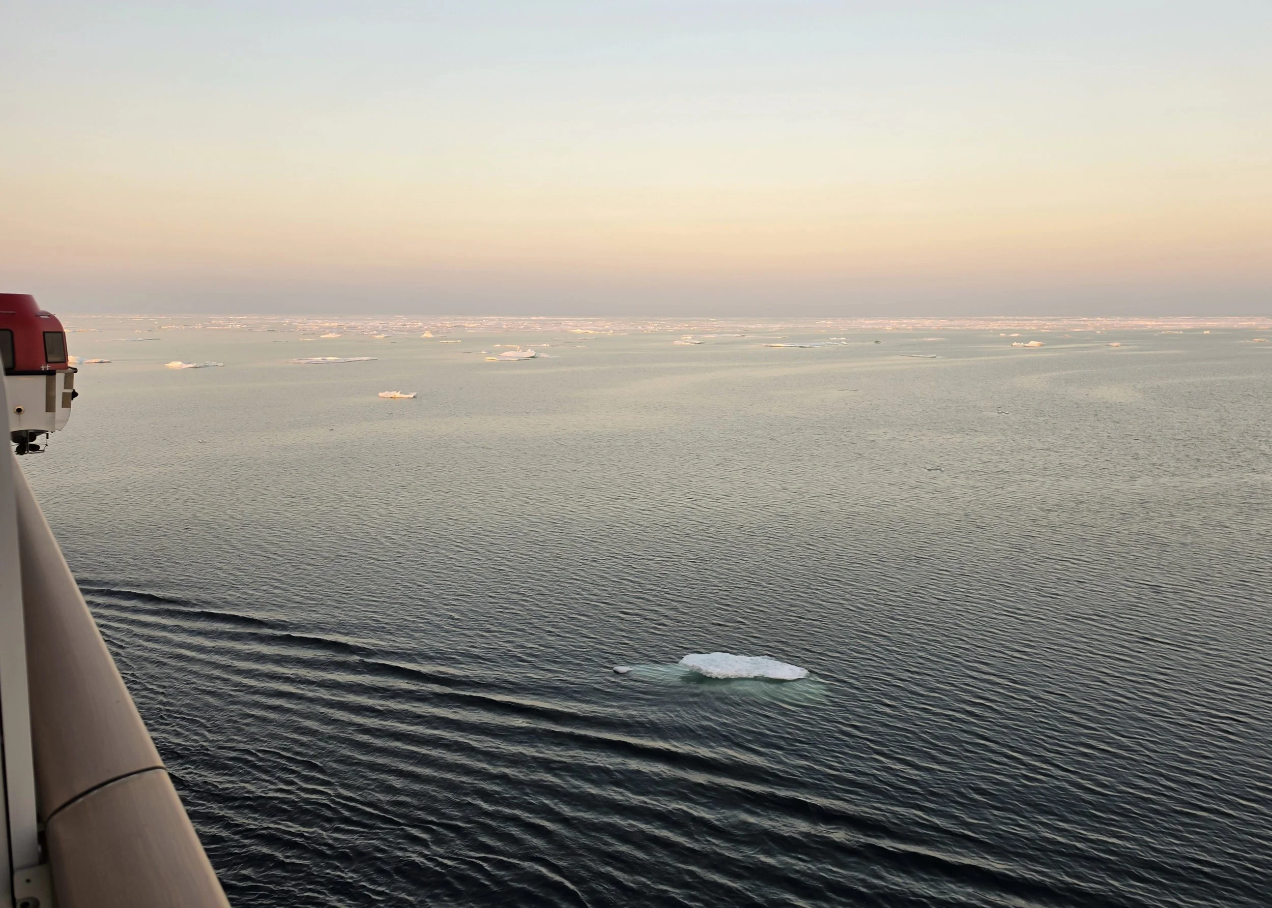
I woke today to a beautiful Arctic sunrise. The sea was like glass, and the about-to-rise sun sent soft colors across the water and small ice floes. What a tranquil beginning to the day!The captain once again navigated through heavy ice throughout the night and brought us to clearer waters this morning. We were told to expect heavier ice later in the day, and it steadily increased as we moved East toward Canada. At one point, the ship had to turn around and double back a short way to find a clearer path through. We’re not blocked in by ice – there are open water paths all around – but the crew has the tools and data to see what’s ahead and where the most open water is, and they use this information to choose the best route forward. As a passenger, I mostly get to just enjoy watching the ice and finding shapes in it, much like I do with clouds. Once in a while, though, the ship suddenly reduces speed or veers in a different direction, and I know it’s because of the ice.Today was filled with more lectures, wildlife viewing sessions on the Observation Deck (or what I call “learning that 4 layers of clothing are not enough” sessions), another great photography talk by the ship’s photographer Martin, and my favorite talk of the day: The mandatory AECO briefing, which all guests must attend before they can go ashore in the Arctic.AECO stands for Association of Arctic Expedition Cruise Operators. It’s a voluntary organization made up of Arctic expedition cruise operators and representatives from the communities they visit, along with environmental groups that work to protect the Arctic. The group is focused on responsible tourism in the Arctic.Although mandatory, the talk was entertaining. Along with basic environmental guidance along the lines of “leave only footprints”, the talk included a few points of guidance that reminded me this is not quite the same as walking in the woods at my local parks. Some examples:Leave stones, bones, and antlers where they are.Never touch live or dead wild animals.If you see a polar bear, stay calm. (Yeah, right! But I’m thinking they mean don’t scream and run away. Of course, my plan to stand there and take pictures until someone drags me away might not quite be what they’re hoping for, either!)Be careful to avoid the introduction of alien species. (Oh, my!)
The talk provided some great insight into the work the Expedition Team does to prepare for our going ashore. They go ahead of time and scout for polar bears, muskoxen, or areas we might need to avoid. Then they stake out areas we can and can’t walk through. The off-limits boundaries are set to protect arctic plants, heritage sites, religious sites, areas that might be dangerous, or even just to keep us from getting stuck in the mud. I’ve read of passengers on previous trips being surprised or unhappy if a shore excursion was cancelled, but I can see now that it’s not just about “is the weather clear for us to get ashore right now?” – there are a lot more tasks and considerations at play.The talk included some great insights about some of our planned community visits. They emphasized the fact that we’re going into communities that might look quite different from where we live, but not to make judgements about what we see, based on our ideas at home. They reminded us how difficult it is to get supplies in remote areas, so it’s harder to maintain property and people are more likely to hold on to things they might one day be able to use parts from. I’ve always gotten angry at fellow guests at lodges in South Africa when they look down on the local villages and talk about how sad it would be to live in a way that might look impoverished to us. I get even more unhappy when they’re saying these things in front of the people who live there and who are working to take care of our every need. Those are people’s homes and communities that they worked hard to build and maintain and that they have every reason to love and be proud of. Just because it looks different than someone’s HOA-controlled PUD or a fancy high-rise apartment in a city doesn’t give it any less value or importance. This is a soapbox of mine and I was really happy to see it touched on as part of the AECO education materials.They also talked about the fact that the local guides who spend time with us on our visits might end up showing us something different than what we read about in the excursion description. We’re visiting real people going about their real lives, in a place where visits from expedition ships are still rare events. Their welcome of us into their communities is a wonderful thing, and the fact that it’s not scripted or led by an excursion description checklist makes it all the more authentic and meaningful. I think these visits will be a highlight of this trip for many of us.One of the talks I went to in the afternoon reviewed what we’ve seen (or in my case, not seen!) on the trip so far. Proof that the hardy souls who spend hours on the Observation Deck reap the rewards and those of us who sit in our cozy cabins or the lounge looking out the window are staying warmer but missing out at times! The "what we’ve seen list" so far includes:A fog bow – like a rainbow but white. I did actually see this – one seemed to end right at my balcony and I took it as a great sign for a wonderful trip ahead!Walruses. I missed these. The call came over the intercom in my cabin when I was sound asleep and before I’d figured out which side of the ship to go to, they were gone.Bowhead whales – thanks to King Neptune and the Arctic Circle Ceremony, I got to see these.Humpback whales – I missed thesePorpoise – we saw on one our first day at seaSeals – Ring seals and Bearded seals. They’ve been showing up on and around the ice but not in large numbers or very frequently yet.Eider Ducks – both Common Eiders and a likely sighting of some King Eiders flying by.Murres – Common and Thick-billed (I did see these)GuillemotsKittiwakes
They didn’t touch on all the birds but there are sighting tracking lists on the wall in the Science Center that are updated regularly. I know the sightings list will be a lot longer at the next edition of this talk!A highlight of today was that we were issued our boots and lifejackets! Woohoo – landings will be starting soon! The Expedition Team did a fantastic job of making sure everyone got boots that worked well for them. I tried out putting my life jacket on and it’s easy. We have to wear them whenever we’re on shore for nature landings in case we need to get back on the Zodiacs in a hurry. They seem like they’ll be comfortable and shouldn’t interfere with my camera. The plan is that we’ll get to Smoking Hills, our first landing spot, on 8/17 (day after tomorrow). And tomorrow we should reach the Amundsen Gulf, the actual entrance to the Northwest Passage. Can’t wait!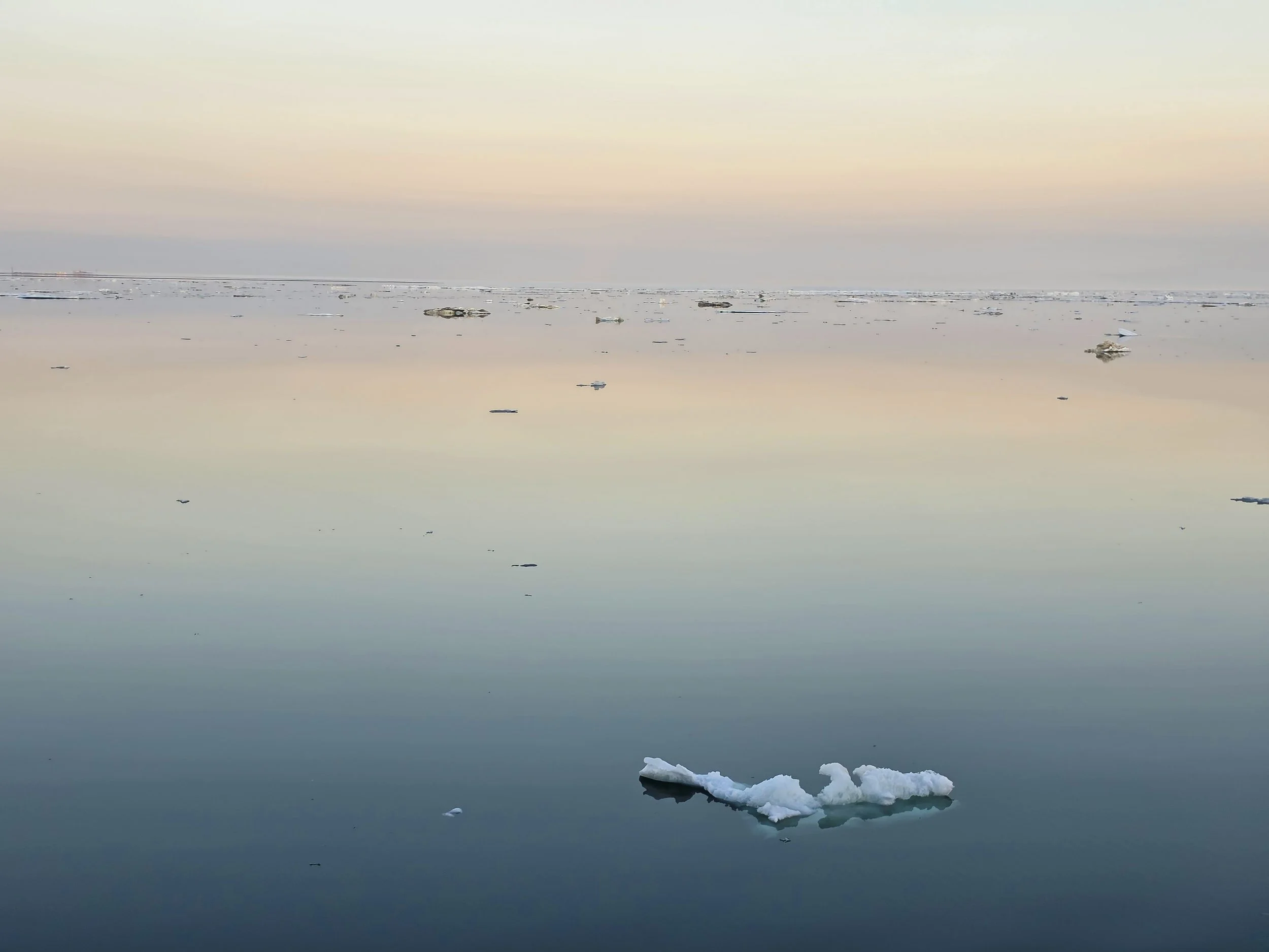
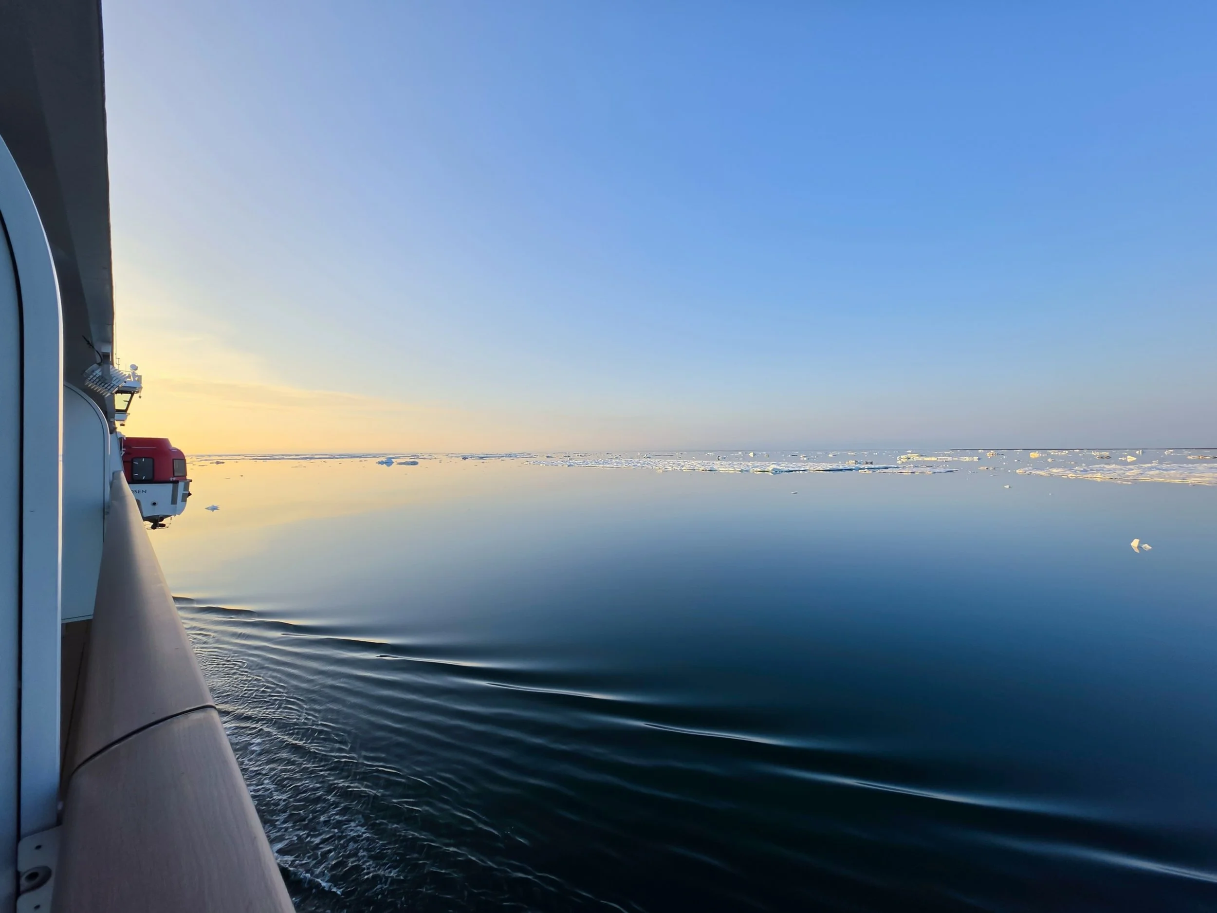
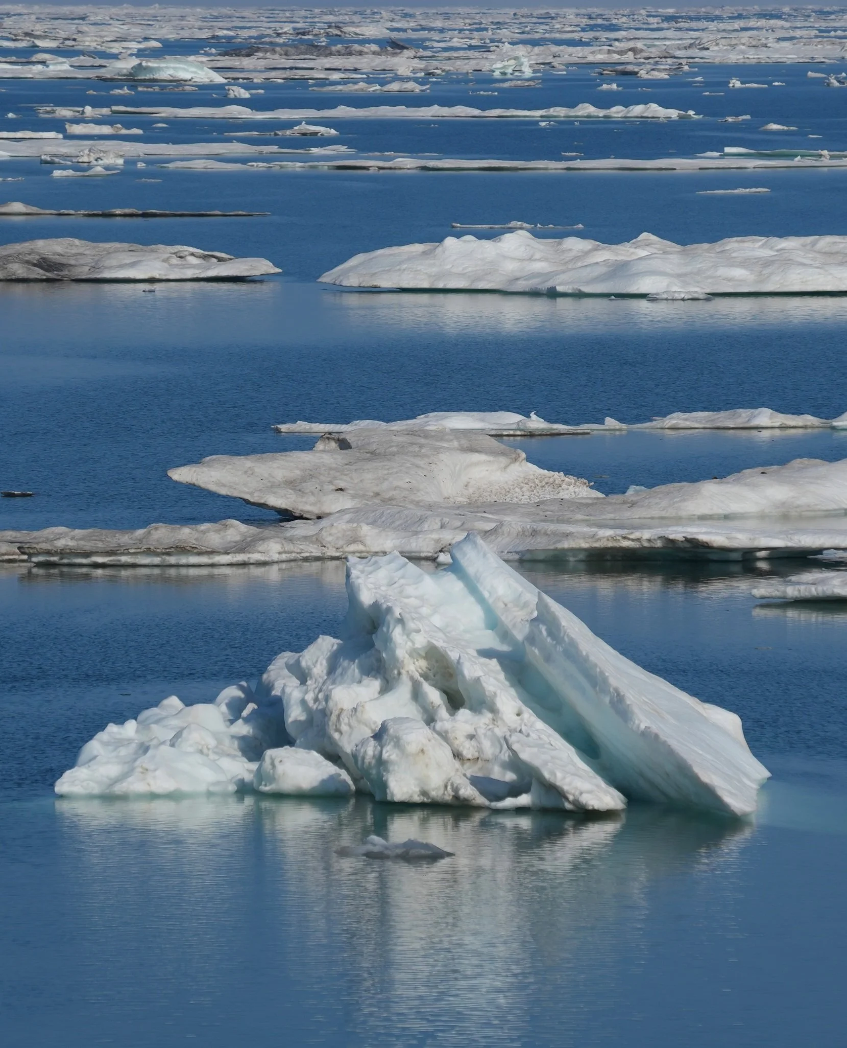

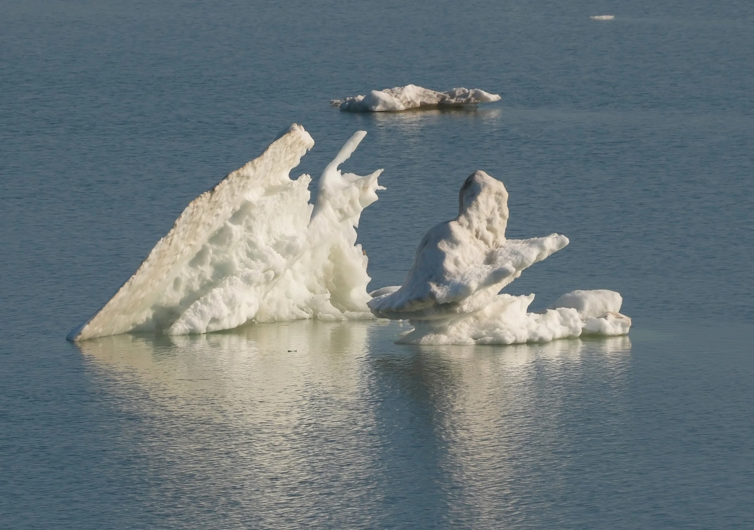
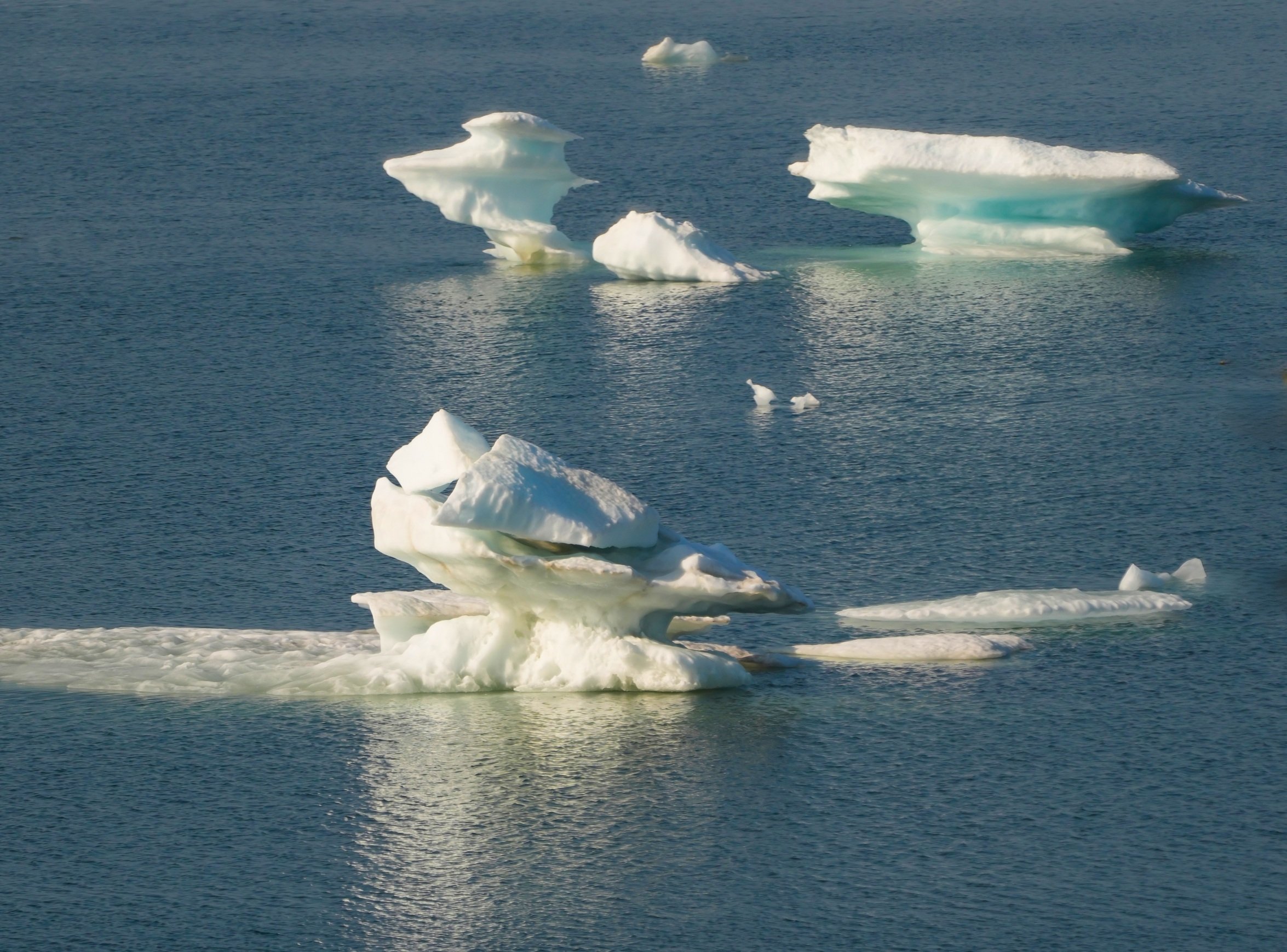

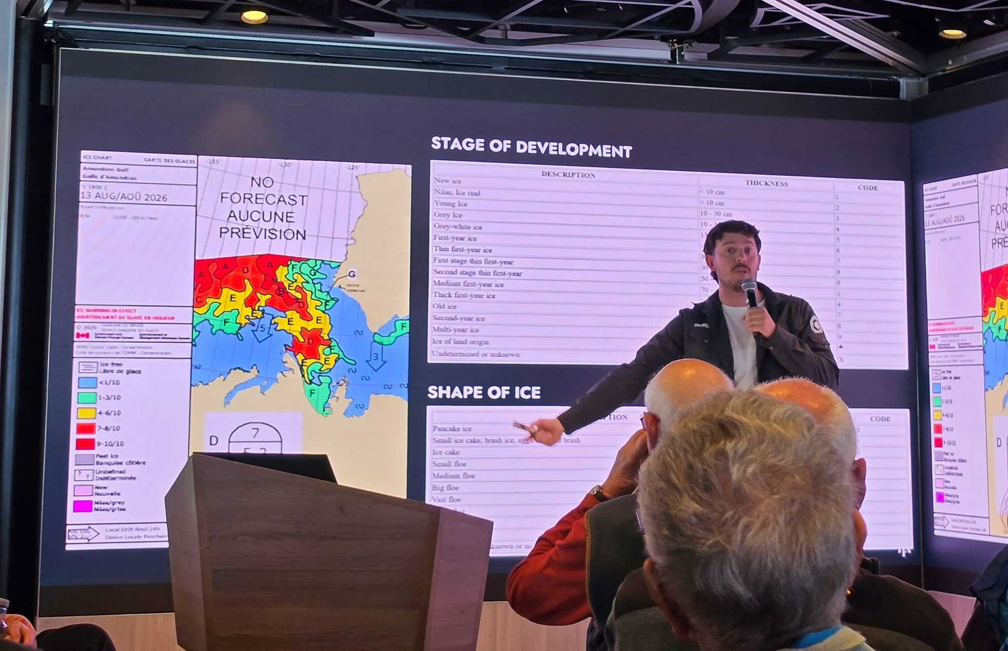
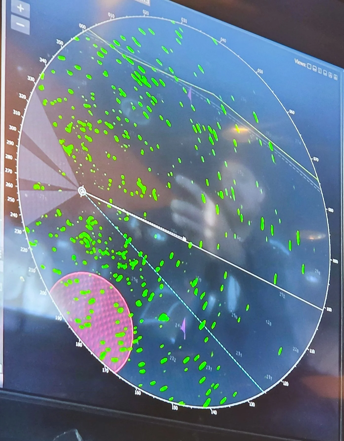
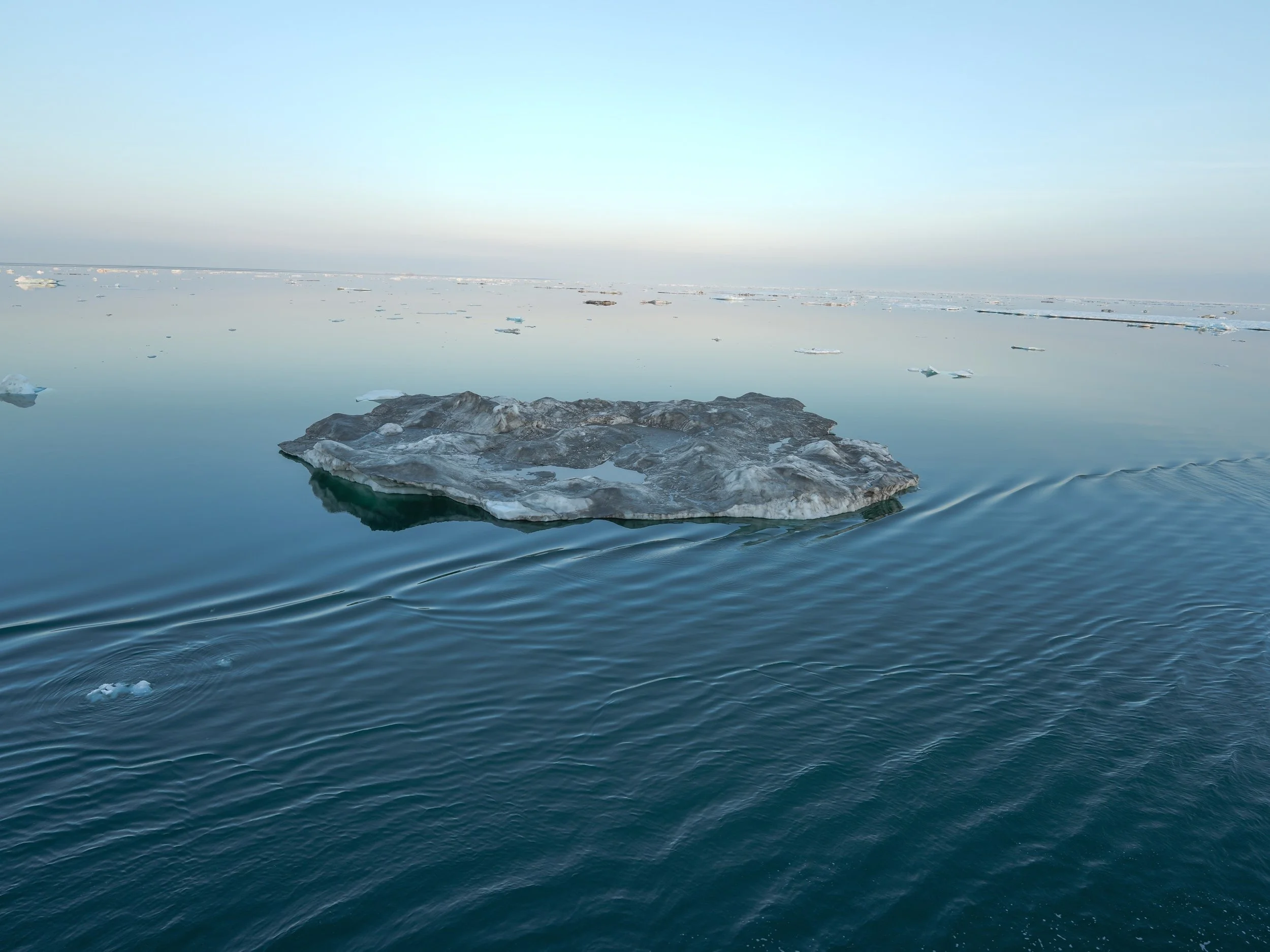
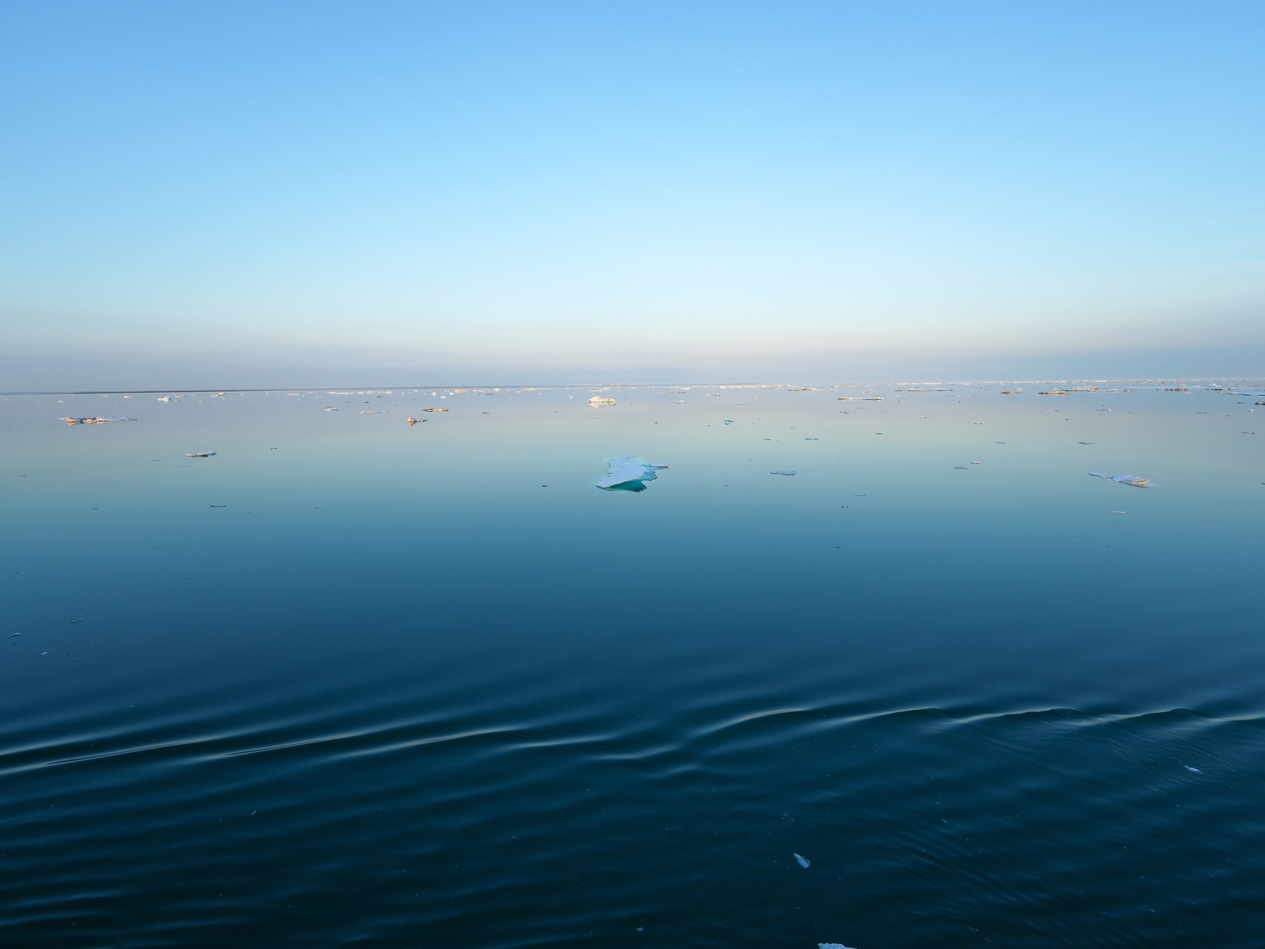
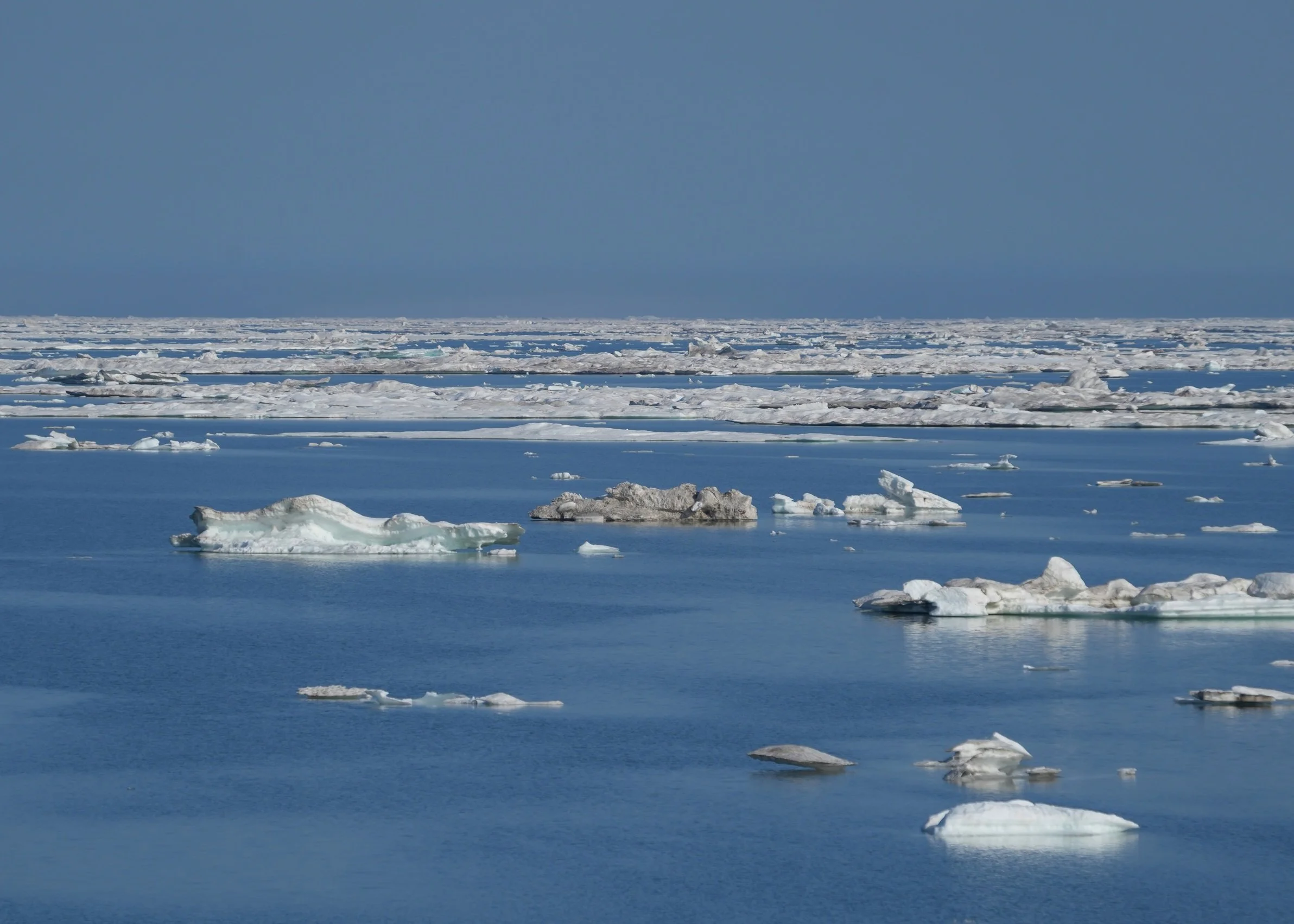
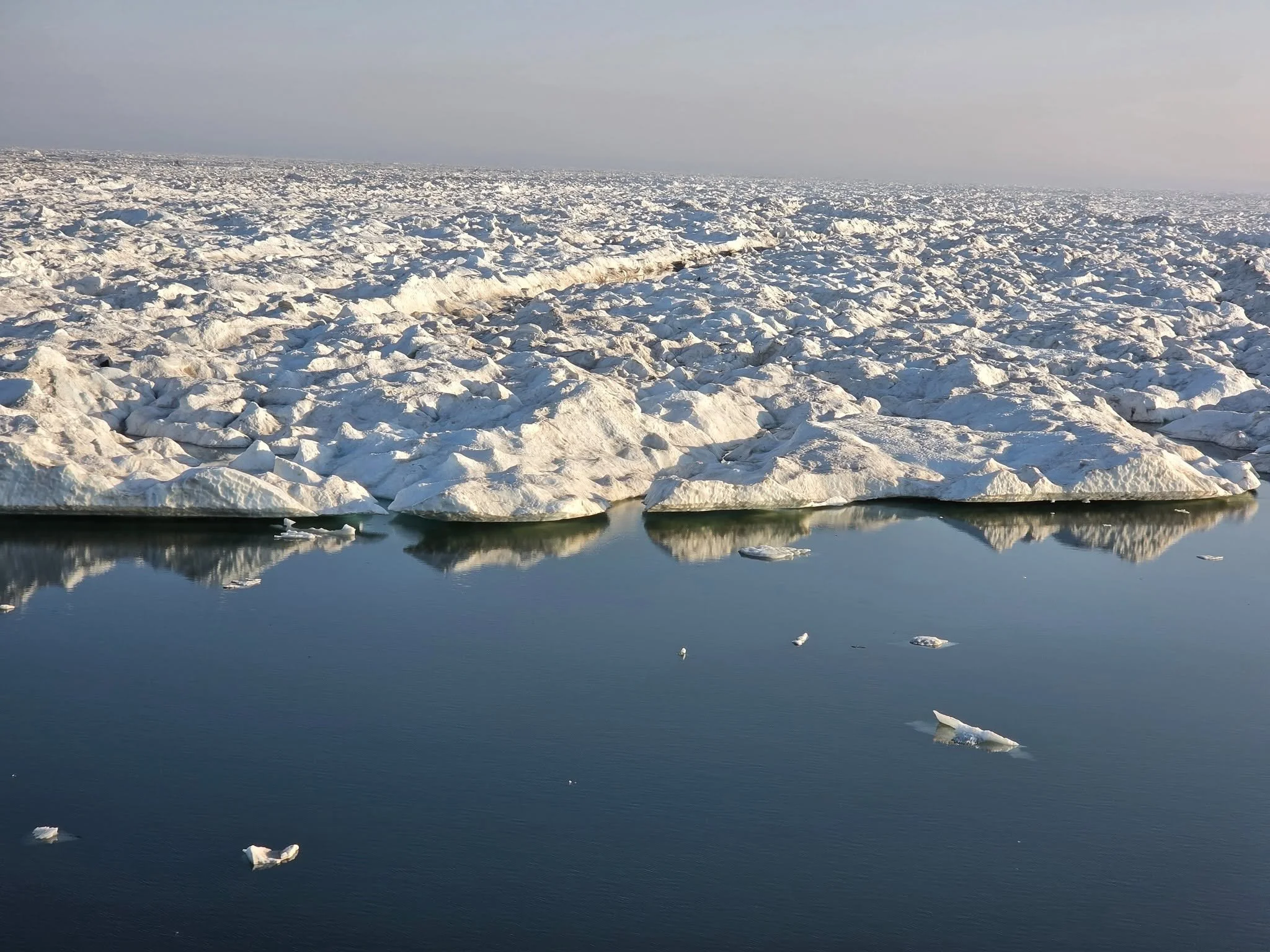
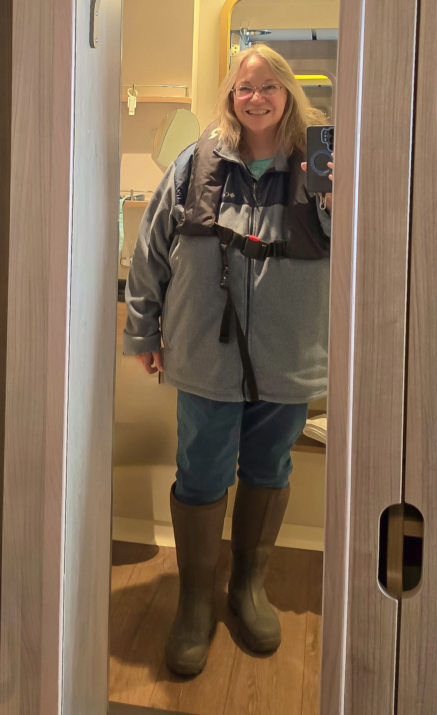
The Northwest Passage - Day 4
Point Barrow to Prudhoe Bay
We’re getting close to Canada and the Yukon Territory! That’s where the Zodiac and landings will begin! These first few sea days have been so relaxing and peaceful – a great way to start the trip. We’ve had lectures where we learned about birds, whales, seals and all the exciting wildlife we might get to see. We’ve had numerous wildlife spotting sessions on the Observation Deck. They are chilly but fun, and the naturalists on board are brilliant at spotting birds and even some seals! We had an early morning announcement about a walrus by the ship. I didn’t make it up to the observation deck in time to see it but it was good practice for what I hope will be polar bear and whale announcements in the future.The crew had a mandatory safety drill today. Passengers got to relax and not do anything, but it was nice to see how seriously the captain and crew take safety procedures.We had our first of 5 times changes today – from Alaska time to Pacific time. We’ll have another one tomorrow.The seas have been amazingly smooth – like glass at times – and the ice is mesmerizingly beautiful. We woke to very little ice, thanks to the captain’s hard work to get us out of the thicker ice and to smooth waters. We heard that the captain and staff captain worked through the night to navigate through the thick ice. Ice slowly increased throughout the day, making for some attention-getting bumps and thumps and a few sudden ship movements to avoid big pieces of it. The restaurant staff are extremely adept at grabbing open wine bottles before they topple!The original plan for the ship was to cross in to Canada and go to Saks Harbor to be cleared for entrance. However, there is very thick ice between us and Saks Harbor, so doing that would add about 20 hours to the trip. Thankfully, the Captain got permission to get an e-clearance entrance to Canada when we reach Smoking Hills, which is intended to be our first Zodiac landing site. That’s great news – while I might think it was fun to plow through thick ice fields, it’s not exactly a practical or safe thing to do. Sigh.I had the best surprise on board today. I was outside the restaurant waiting to meet someone for lunch, and a man started asking me about my camera. We chatted for a bit and I kept thinking that he looked like someone I used to work with named Peter. But, there are only 300 people on this ship, and only 7 ships attempting to cross the Northern Passage this year, so what would the odds be of me actually running into someone I knew on board, right? But then the man went into the restaurant and gave his cabin number and name – Peter! So I tracked him down in the restaurant and it was indeed my colleague from 20 years ago. What a great surprise! And he was sitting with the most interesting group of people – the lunch topics started with travel stories and ended up with a discussion about how gender and racial bias affects us differently when we go to new places and meet people from different cultures and norms. It made me really appreciate the opportunity to be on this trip and get to meet (and renew a friendship with) truly captivating people.Time to go gaze at the ice some more!Notes if you might make this trip:
My internet is fixed! I'm so happy. Persistence pays off. It took a few visits to Reception to ask for help but they asked the IT Manager to come check it out and he/she got it working for me! I'm so happy to be connected in my cabin. I really appreciate how hard the onboard staff works to take care of us! They could have easily just assumed I was cranky and ignored me, but they didn't - they not only fixed it but they followed up and made sure I was happy. A++ customer service.The coffee is growing on me! (LOL) It seems a bit stronger now and more to my liking. I'm still enjoying my Coulee coffee that I brought along but it won't last for the full trip so I keep testing out the onboard coffee, too. The lattes in the Explorer Lounge are good (not part of the inclusive drinks, though). And odd as it might sound, I like the instant decaf coffee that they offer. The blackberry tea is really good, too!Don’t rely too much on actual air temperatures to plan your clothes for the trip. The actual air temperature is about 55 right now but when you go out on deck, with the wind and sea air, it feels below 40 to me. I’m wearing a wool hat and gloves as well as 2 jackets when I’m up on the observation deck
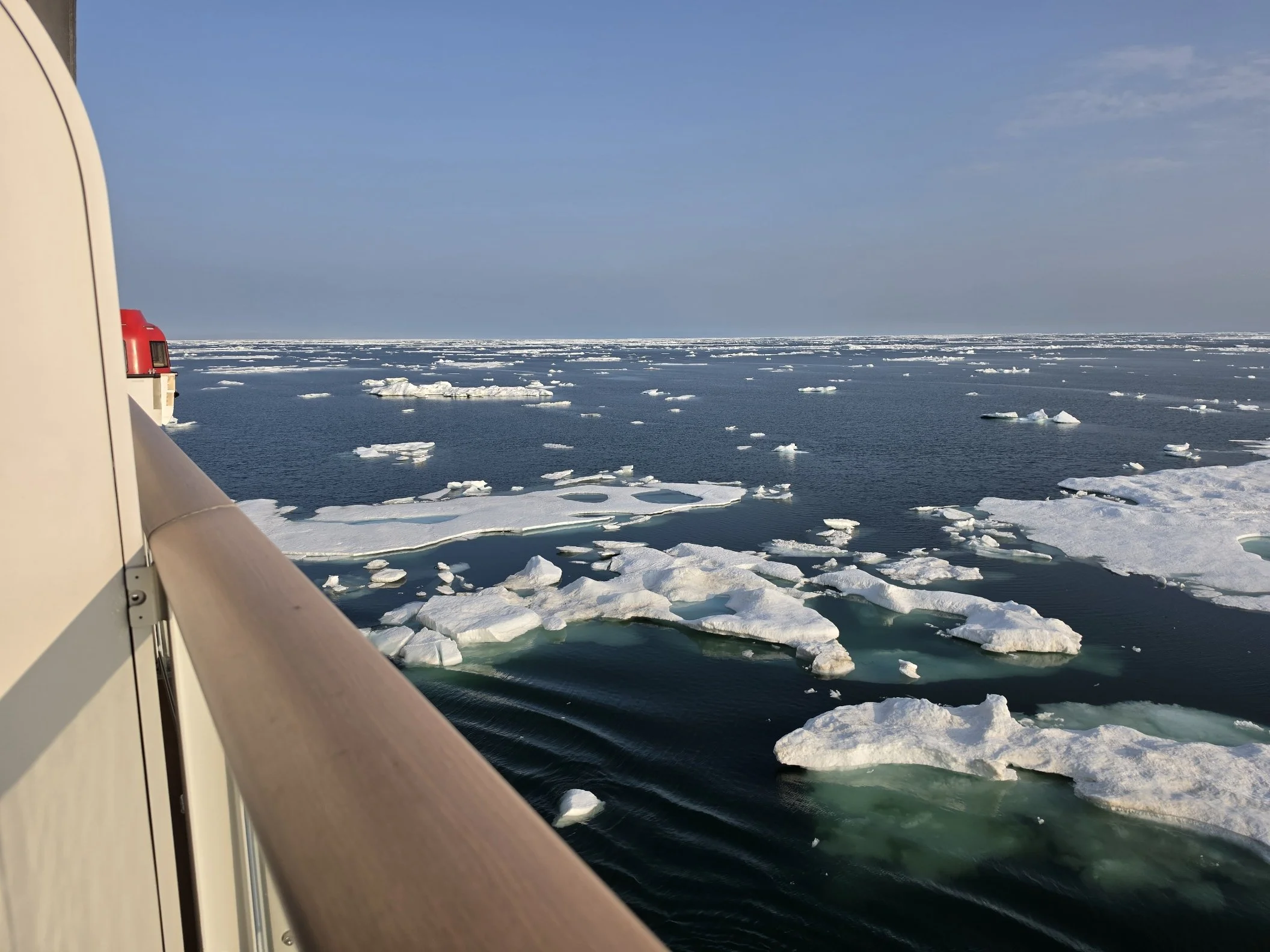
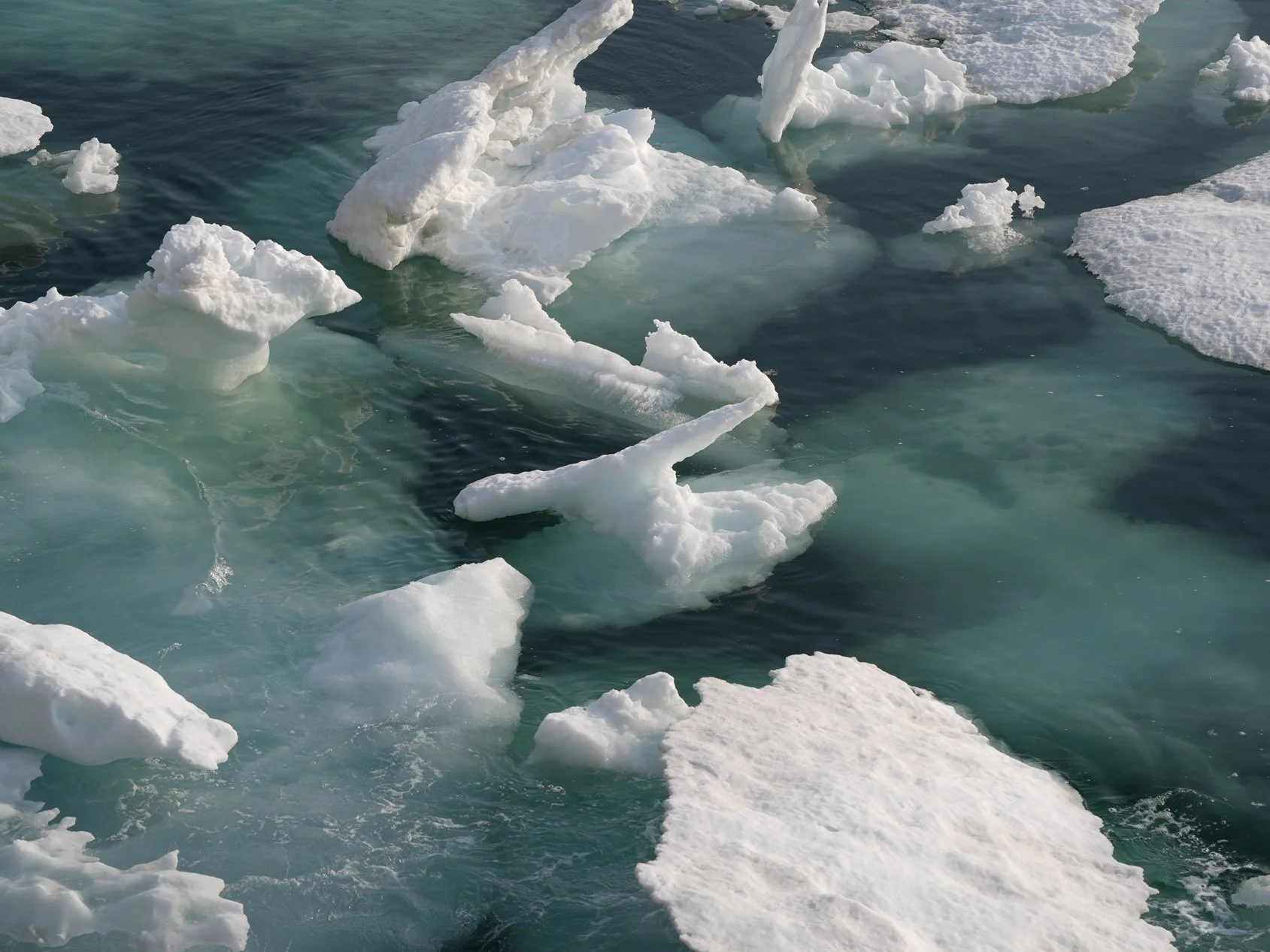


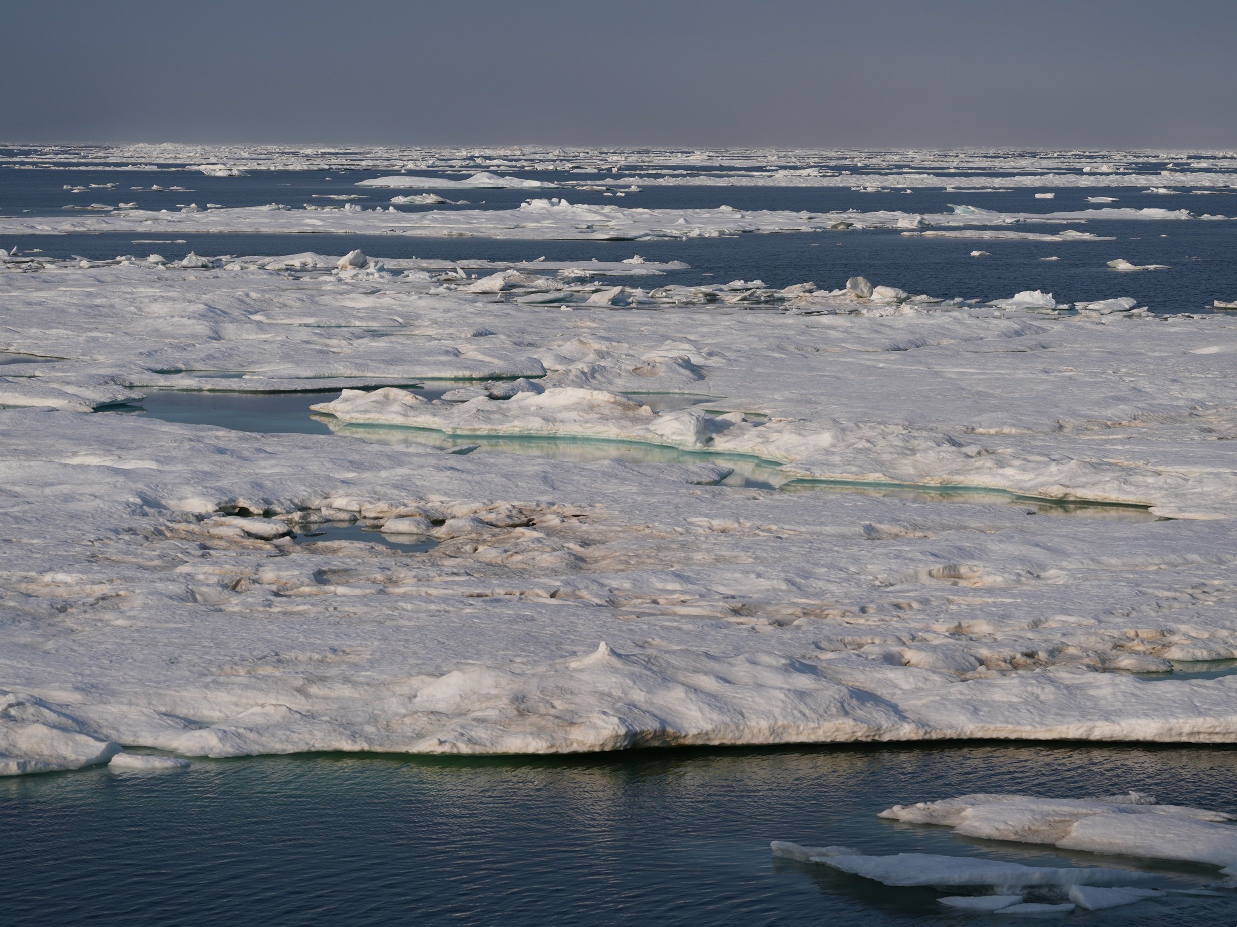
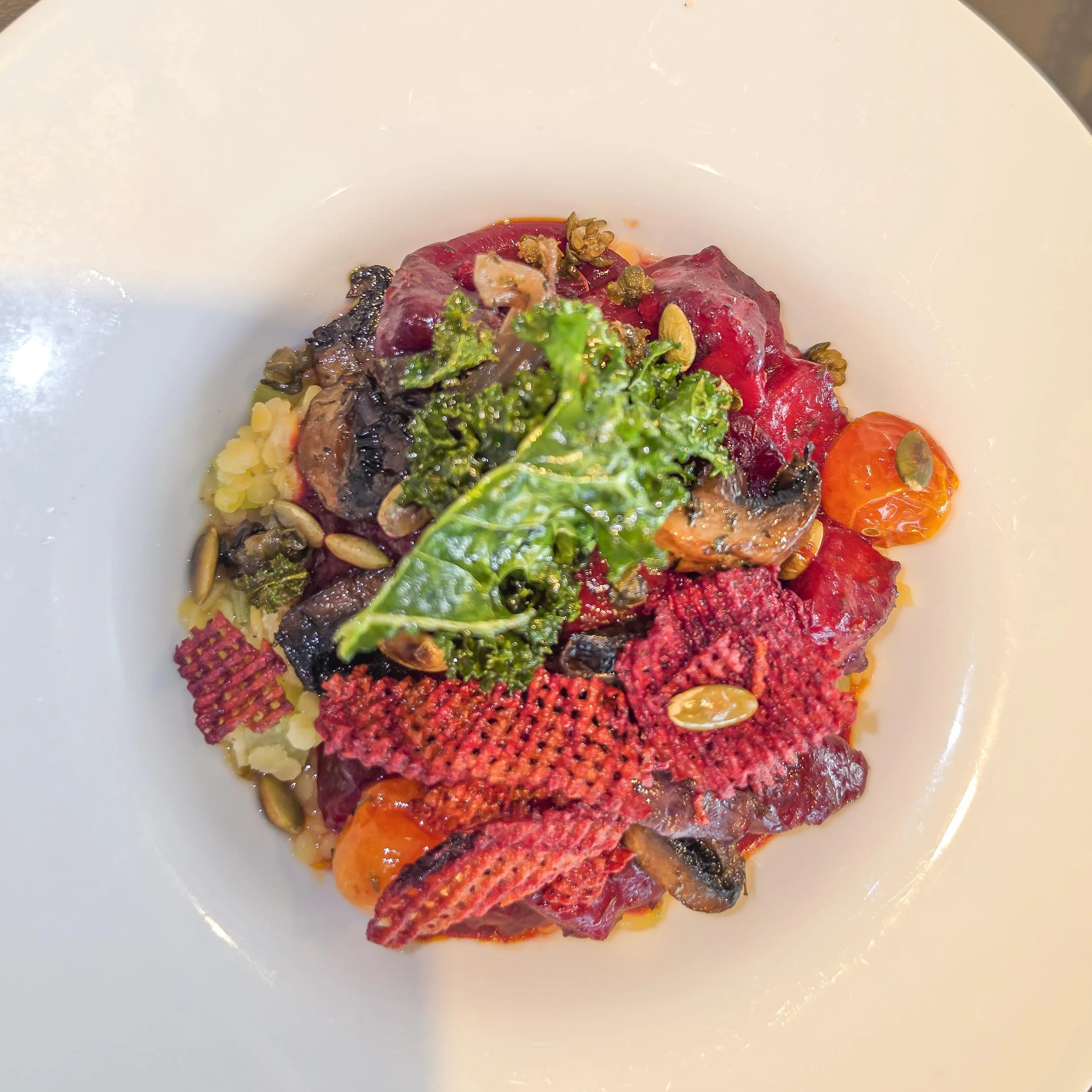
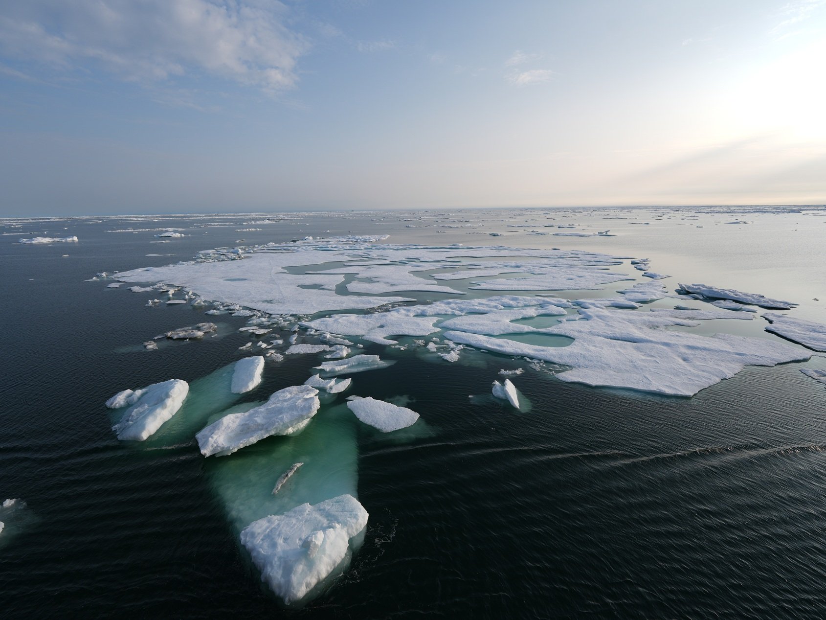
The Northwest Passage - Day 3
Bering Strait to Point Barrow, Alaska
Today both started and ended with ice! The morning began with a special treat of waffles prepared by the crew, out on the pool deck. I kept mine simple and made a jam sandwich with it but others got really creative and created beautiful concoctions of whipped cream, chocolate, and berries!Shortly after everyone finished their waffles, a call went out for passengers to join the Captain on the pool deck for the Arctic Circle Ceremony. Some more experienced passengers showed up in bathing suits and bathrobes, so I started to suspect that whatever this ritual was, it was going to be a cold one! Once everyone had gathered, the Captain called on King Neptune to come out and deliver a message to us. King Neptune (or a reasonable facsimile) informed us that in order to ensure safe passage through the Arctic Circle, we had to brave the ice. With that, passengers with more fortitude than I lined up to be doused with ice water and ice cubes! Enough people must have made the sacrifice to appease King Neptune, because before the ceremony was over, two Bowhead whales surfaced off the ship’s stern!I attended a presentation about all of the amazing activities that are planned for each of our stops during the trip. They did remind us to stay flexible, because weather and timing can change plans, but regardless of adjustments, it looks to be a trip full of a wide array of excursions and opportunities to learn.Oh, what a difference the sunshine makes! We had great bird sightings again, and this time, the photos actually show details of the birds! Sooty Shearwaters and Thick-billed Murres were the most common sightings, with some Puffins popping up as well. The Puffins I spotted were a bit far away for me to get decent photos, but I’ll keep trying!Late in the day, we began hearing rumors that we’d be encountering sea ice sometime in the night. During the “Plans for Tomorrow” session at 8 PM, we got more details: when the ship neared Point Barrow, Alaska, we’d be entering the sea ice. This was earlier than expected and it meant we might spend 2-3 days pushing through the ice. The ship is rated to pass through ice that’s up to 4-feet thick, but pushing through even thinner ice still slows the ship down by a lot, so the Captain will be working to find routes that minimize the ice along the way. We’ll be in the ice until we reach Amundsen Gulf, which is the actual entrance to the Northwest Passage. After that, we should have smoother sailing.At around 10 PM, the ice announced itself with a loud thunk against the side of the ship below my cabin! After that, I kept running out on my balcony every few minutes to see if there was more. I finally went to bed around midnight, watching ghostly white forms passing by the balcony doors. Can’t wait to see what tomorrow brings!
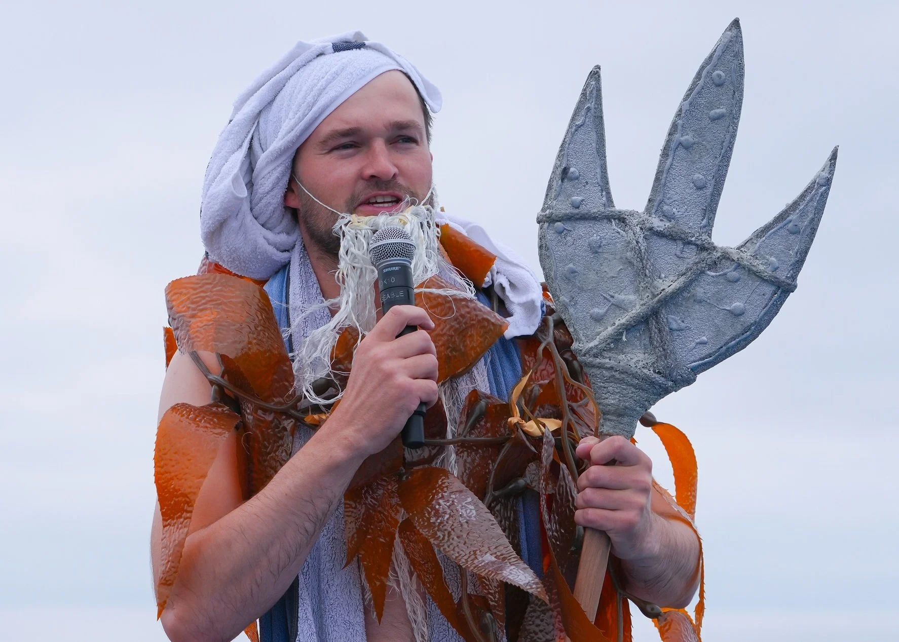
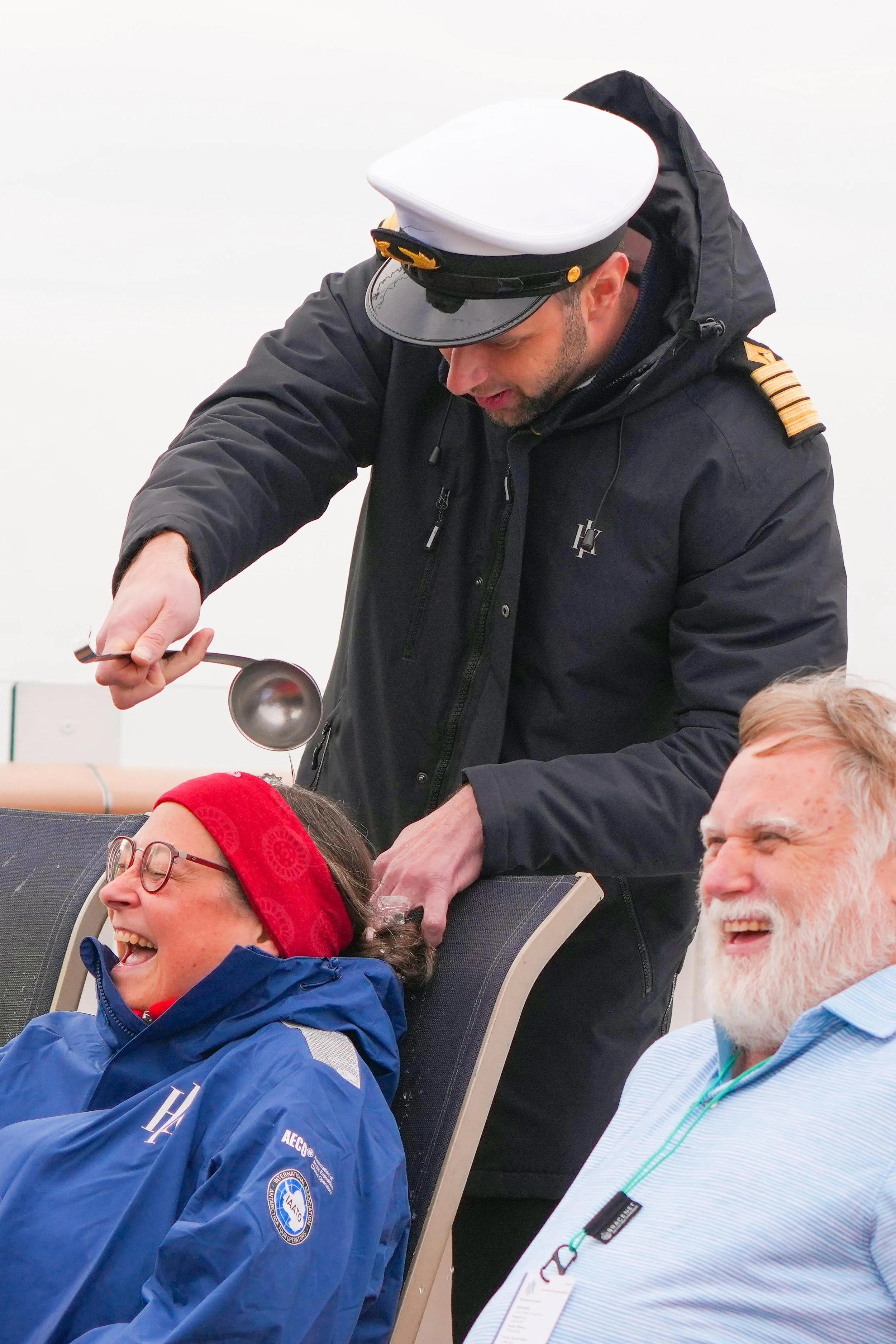
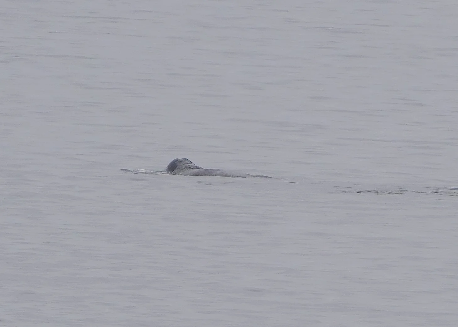
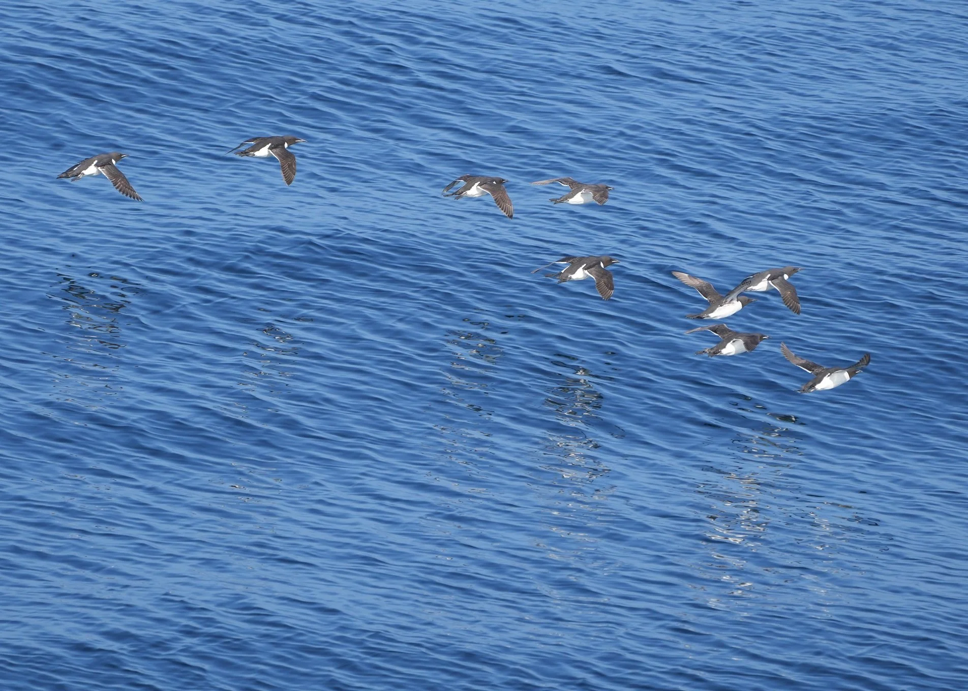
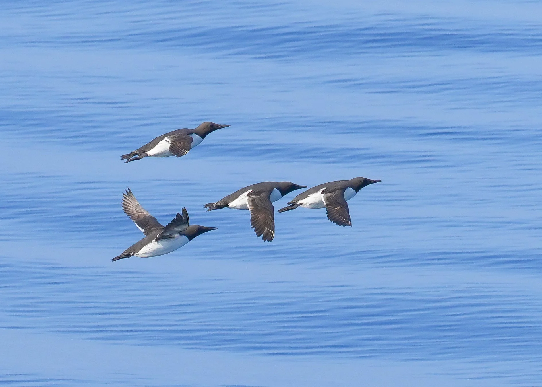
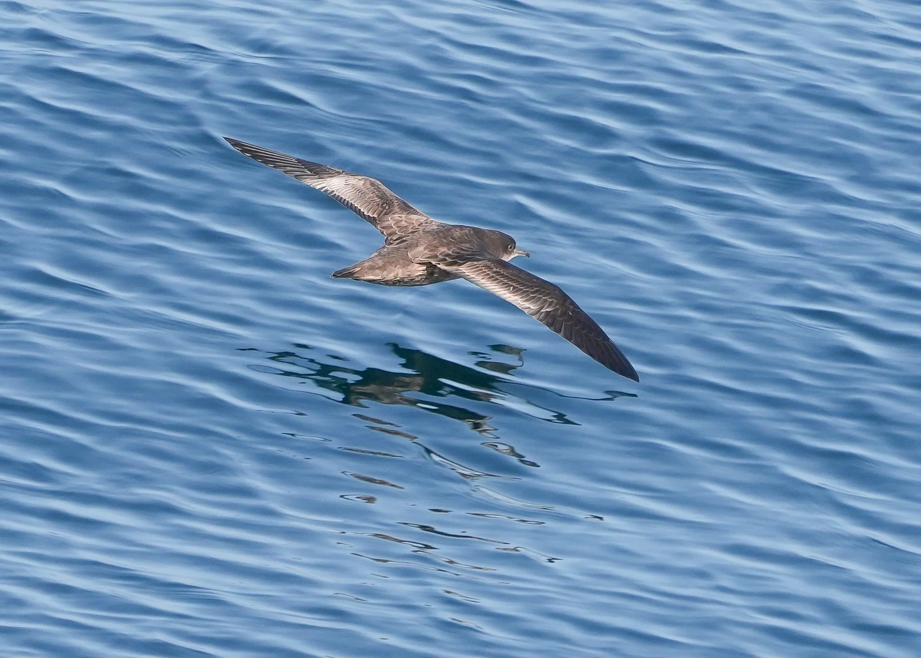
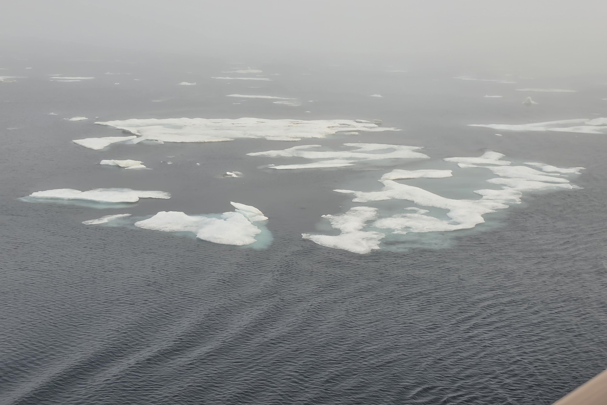
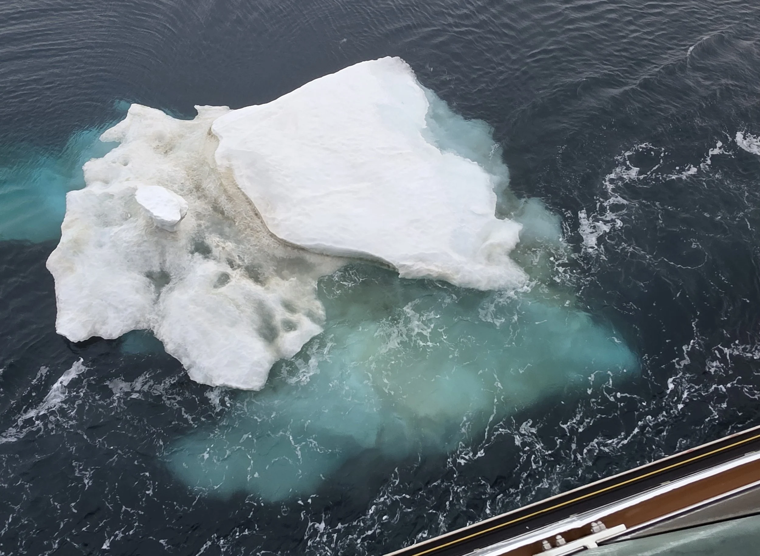

Nome, Alaska to the Bering Strait and the Arctic Circle
We set sail from Nome this morning, heading north through the Bering Sea. It was foggy for much of the day, which made for some interesting photos! We were very lucky to have extremely smooth water for most of the day, with less than 3-foot swells most of the way. The temperature feels like it’s dropping a bit as we head north. The ship and its activities are starting to feel more familiar. There are lectures throughout the day. I attended one that was primarily an orientation session, where we got to meet the Captain and some of the team leaders on board. We also had a mandatory safety drill, where we got to watch one of the Expedition Team members (who might also be a contortionist) put on the dry suit we would need to don if we had to go into the water. Not only do they give you a dry suit and life jacket if there’s an emergency, they also give you a survival kit. These are definitely not warm and friendly waters! The ship’s photographer, Martin, gave a fantastic talk on photography, where I learned that my new cell phone camera has all kinds of cool features I never knew about but can now annoy people with. I also participated in two wildlife viewing sessions up on the Observation Deck. It was a great day for birds! I didn’t get any spectacular photos (distance, fog, moving ship…bad combination for photos!) – but I did see two new birds for me (Parakeet Auklet and Black-legged Kittiwake) and I had a lot of fun watching Tufted Puffins diving for fish and trying so hard to take off! They’re much more graceful under water than they are in the air! Late in the day, the Captain held a briefing to let us know that there’s an unexpected and very large area of sea ice coming up. They’ll re-route somewhat to try to spend as little time in it as possible. The ship is rated to safely push through ice up to nearly 4 feet thick. Most of this ice field falls within the safe thickness level. However, pushing through even thinner ice slows the ship down a lot, so they’re hoping to minimize the time we spend in it. Personally, I’m very excited to know we’ll see ice soon (much earlier in the trip than I expected). Ice attracts basking seals and sea lions, which (if there’s open water) attract Orca, and in more solid ice conditions, polar bears! I spent some time in the Explorer’s Lounge – probably the most popular spot on the ship. I can get much more reliable internet there than in my cabin. It has wonderful views all around, readily available coffee and tea, and (my favorite bit), two screens showing the view from an underwater camera that the ship has down. That’s impressive, given that the water we’re in is about 200 feet deep! I’ve been seeing lots of crabs, sea stars, and plants that look like they’re from another planet. Shortly before dinner, there was an announcement to come out on deck to try to see Russia! We were passing by the Diomede Islands, which consist of Little Diomede Island (US territory) and Big Diomede Island (Russian territory). The islands lie only 2.5 miles apart and are actually joined by ice for part of the year, although people aren’t allowed to cross from one to the other. The islands are also respectively nicknamed “Yesterday Island” and “Tomorrow Island” because the are located on either side of the International Dateline, making their time/date always one day different from the other. Little Diomede Island is inhabited, with about 80 people (primarily Iñupiat Alaska Natives) living there. No one lives on Big Diomede Island, but there is a Russian weather station there. We watched intently from the deck to try to spot “Russia” but the fog was too thick. Just as people were getting settled in their cabins for the night, we got an announcement that we were crossing in to the Arctic Circle and that there were whales in front of the bow! I was out of my cabin in about 30 seconds and on the elevator before my cabin door had even closed! But to no avail – by the time I got up to the Observation Deck, the whales had gone under and didn’t come back up while we were watching. But hey – there are whales here! More to come, I’m sure!Notes if you might make this trip:
Any online comments you might have read about the coffee not being very good? I agree. After reading online comments, I brought some from home (from Coulée Coffee Company) that’s easy to make using water from the electric kettle and am very glad I did. If you plan to make coffee or tea in your cabin and you like milk, you can bring a small container to put milk in and fill it near the coffee stations. They have a nice selection of teas in the coffee/tea stations.Like many European accommodations, here are no washcloths in the cabins but you can request them. There’s also no Kleenex in the cabins. You can buy small packs from the store, though.The ship has added a “Grab and Go” food refrigerator where you can pick up a sandwich or nuts or other light snacks. I really appreciate this – I haven’t been hungry for a big dinner yet and the Grab and Go selection has been a perfect and quick way to get something simple to eat.Someone who has done multiple trips with HX said that cabins closer to the Bridge tend to have better internet. I’ve polled a few people on board and none of them are having any problems with it in their cabin. My cabin is just aft of midship and very close to the elevator bay so maybe the mechanics/electronics are the issue. Not sure, but sharing the tip in case it’s helpful.
The Northwest Passage - Day 2
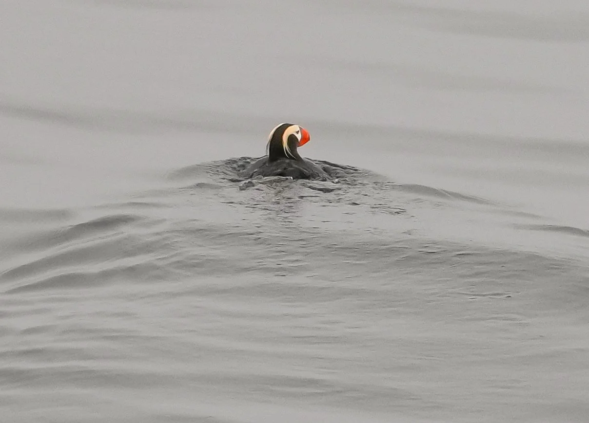
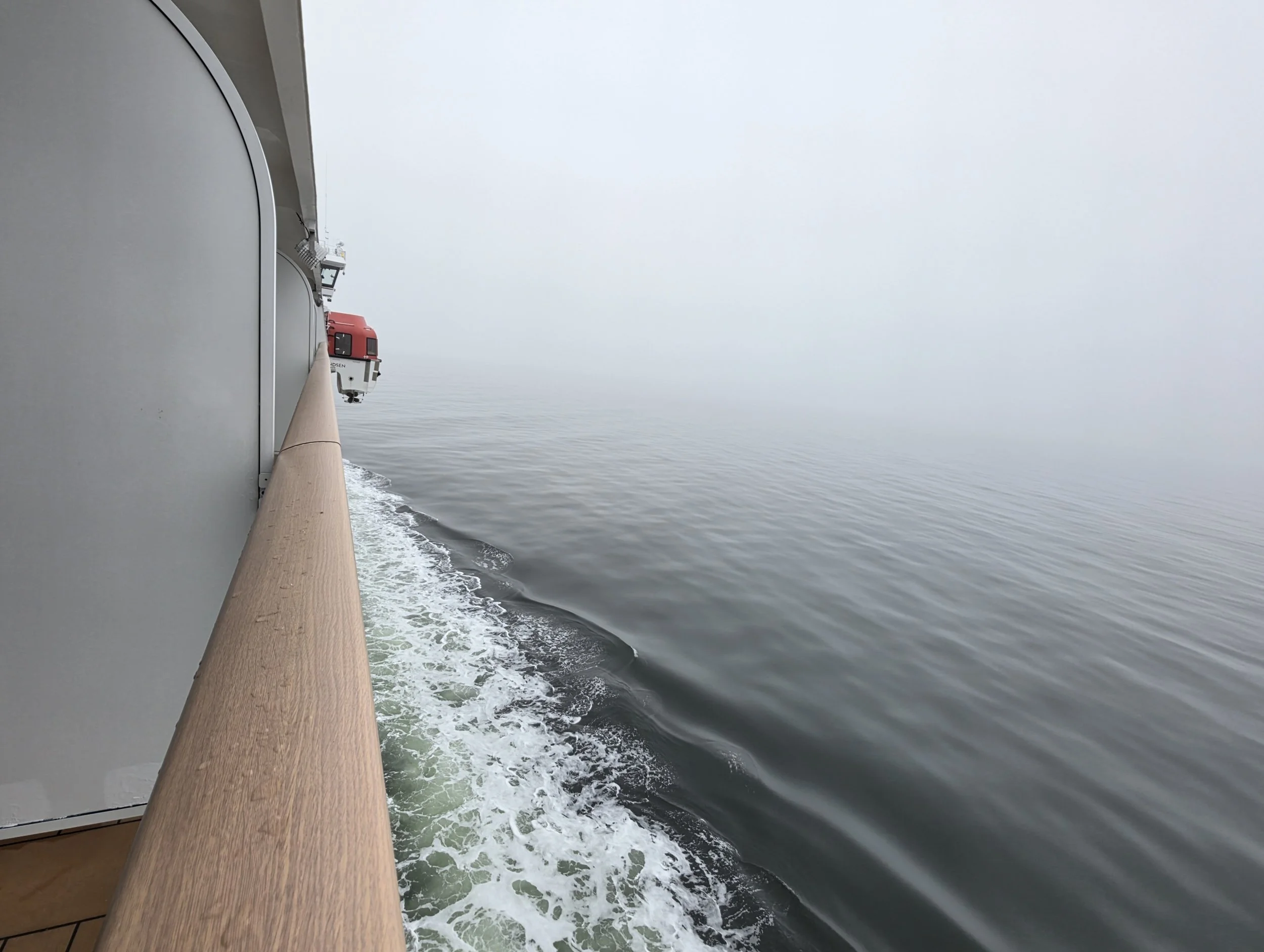
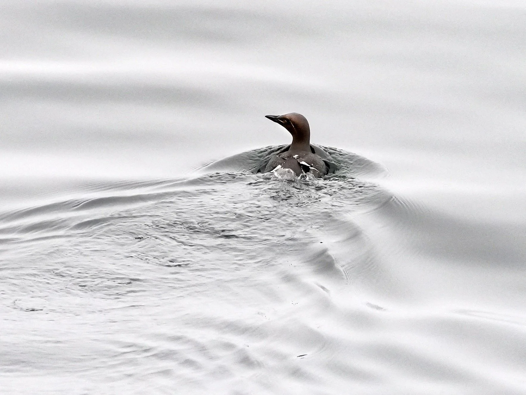
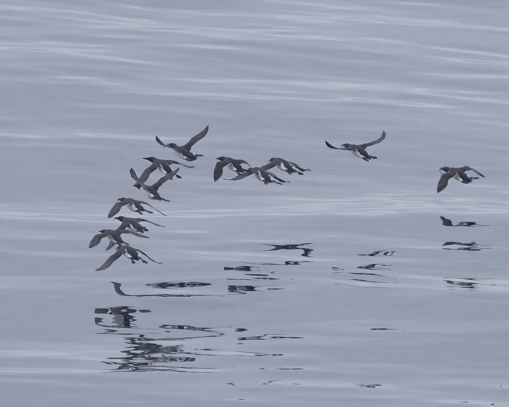
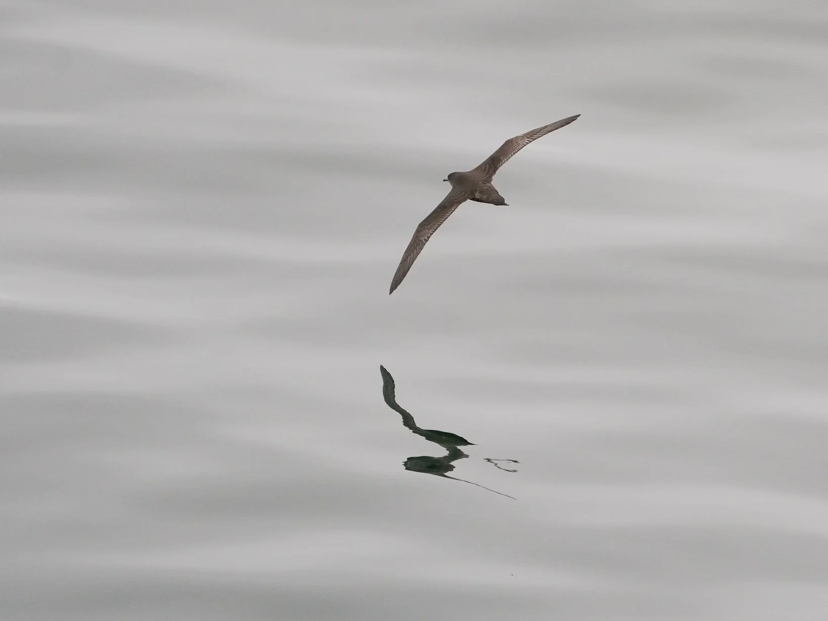
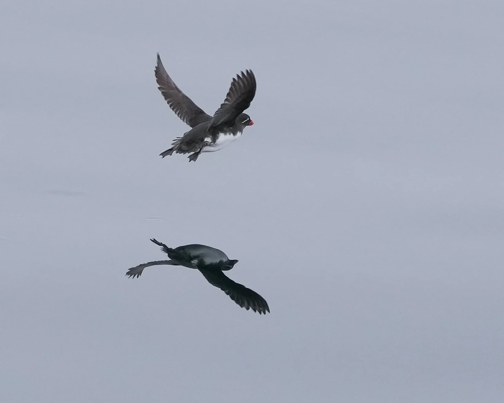
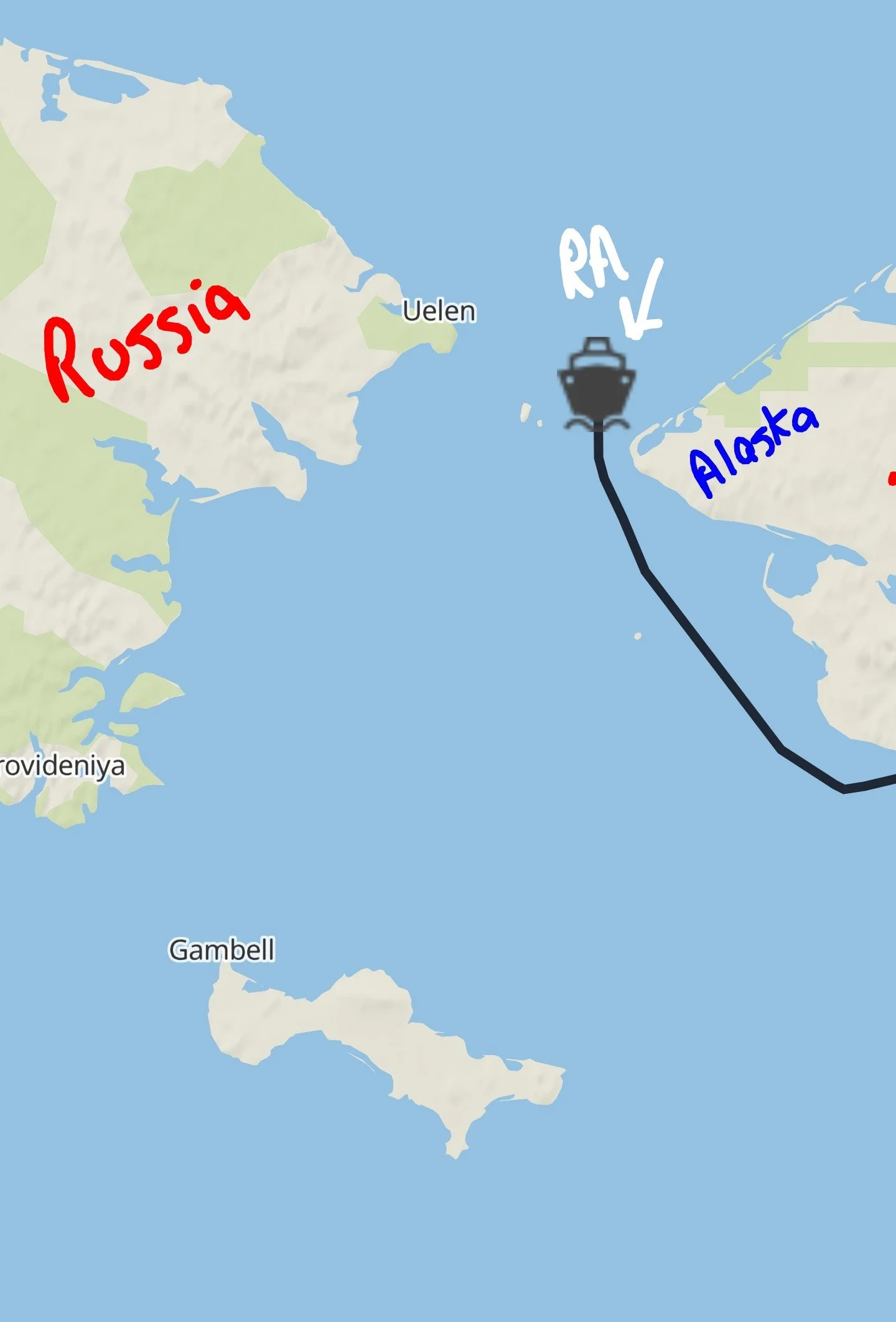
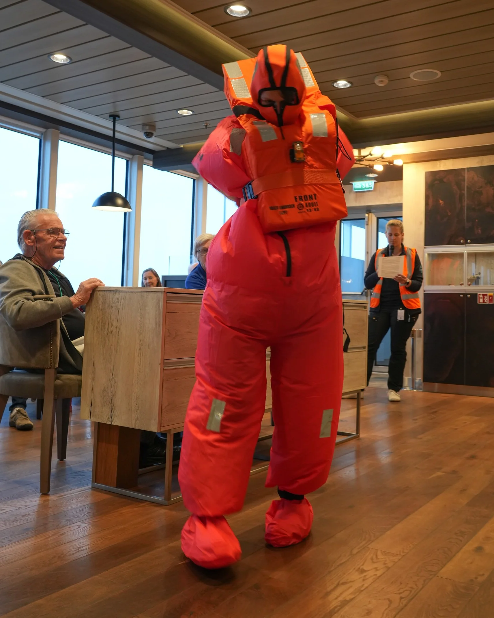
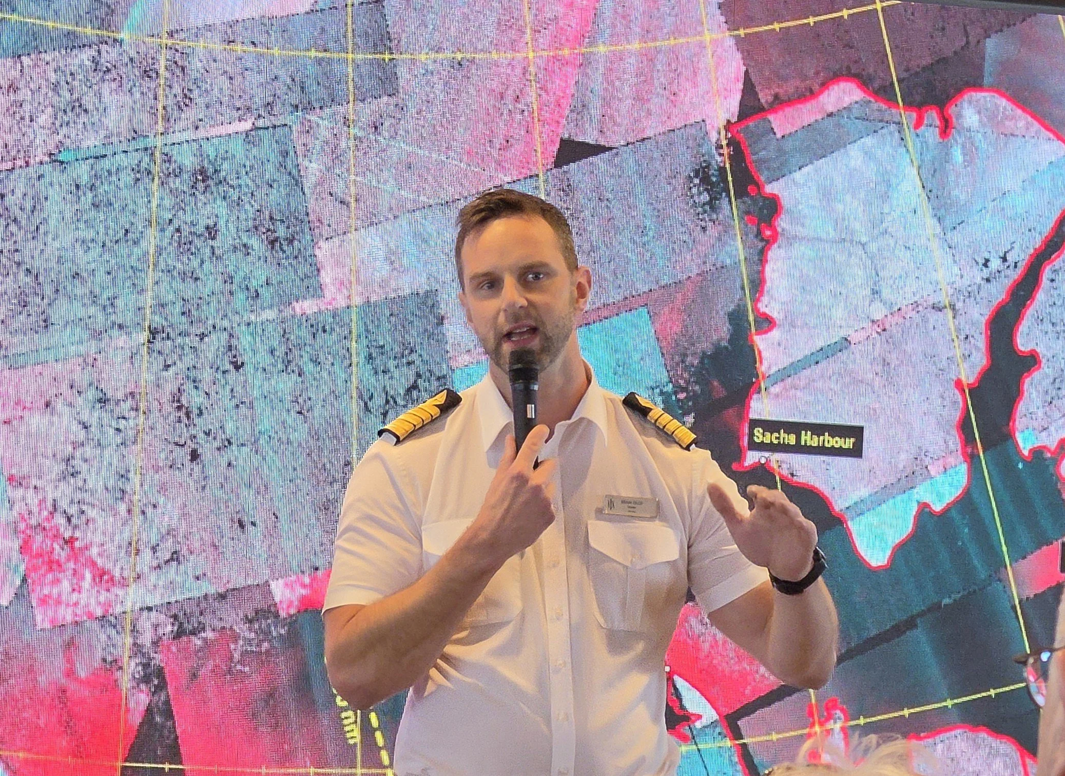
The Northwest Passage - Day 1
Seattle - Nome, Alaska
This morning started with a 4:30 AM wake-up and a 5:30 departure from the Sheraton Grand Hotel in downtown Seattle. We were bussed to Boeing Field to board a charter Alaska Airlines flight to Nome. I love flying out of Boeing Field! It’s a commuter airport, so there are no long lines or walking for miles. You just walk in to a hanger, they look through your bags and scan you with a wand, and off you go onto the tarmac to board your plane. The whole flight was really fun, since we were all setting off on the same adventure!
It took about 6 hours to get to Nome (with a 45-minute stop in Anchorage for a crew change). Nome is a very small town at the edge of the Bering Sea. The primary industry is fishing and, more recently, gold mining. Only this mining is done in the ocean, not in the earth. The harbor is dotted with home-made boats (picture a yard shed bolted onto a flat boat hull with a motor on the back, and metal vacuum tubes lining the deck). The boats vacuum up sand from the ocean floor, run it through sifters, and pull out any gold that they find.
We were met at the airport by a group of school busses, with some very friendly and entertaining drivers. They took us to the dock where our ship, the Roald Amundsen, was waiting. Only about 6 passenger ships a year arrive/depart from Nome, and only smaller ships can get into the relatively shallow port. They’re working on building a long pier that would accommodate traditional cruise ships, so perhaps Nome will have a new industry soon!
Once on board, we had time to settle in to our cabins. The school busses ran shuttles into downtown Nome for people who wanted to visit shops or restaurants there. I was feeling my early start to the day, so I opted to stay on board and get settled in. My cabin has a balcony and I loved sitting out there watching the variety of gold-seeking boats go by!
The ship activities and communication seemed a little chaotic and I was kind of wondering what was going on. We were supposed to be leaving port in the early evening, but finally, there was an announcement made that a group of passengers and crew had been delayed because of bad weather and the ship was going to wait until morning to leave. There were also a number of passengers from the previous trip still on board who couldn’t leave Nome because of flight cancellations due to heavy fog. There were no accommodations for them in Nome, so the ship stayed in port until everyone could get to flights home. It’s nice to know that HX looks out for their passengers and didn’t just leave them wandering around a very small airport all night! So tomorrow the ship will get under way, but the adventure has already begun!
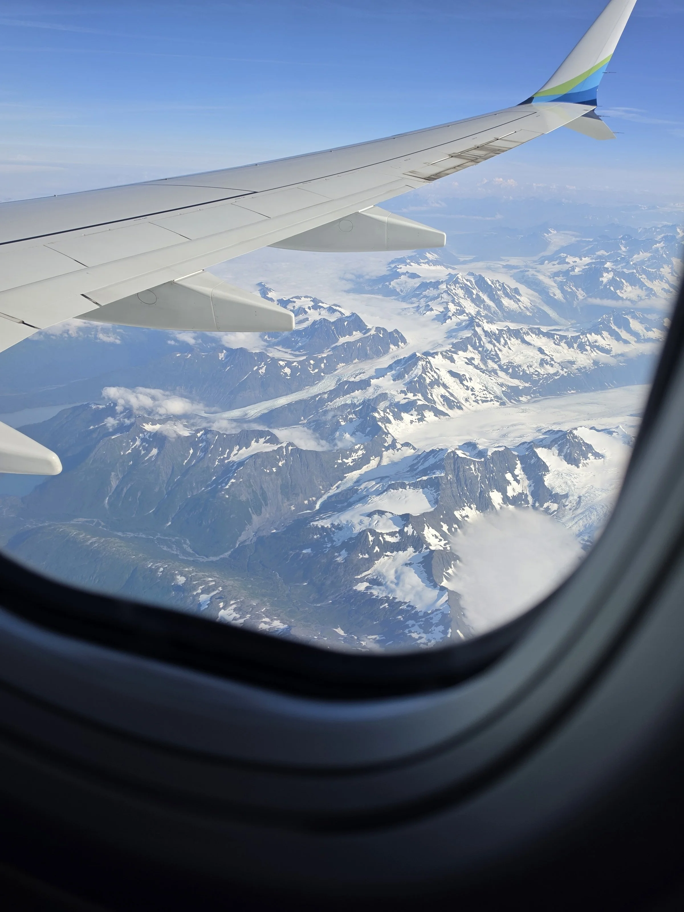
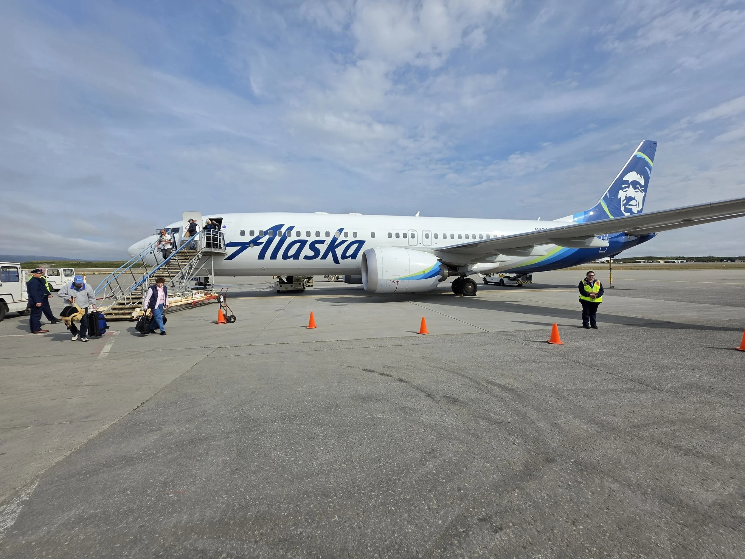
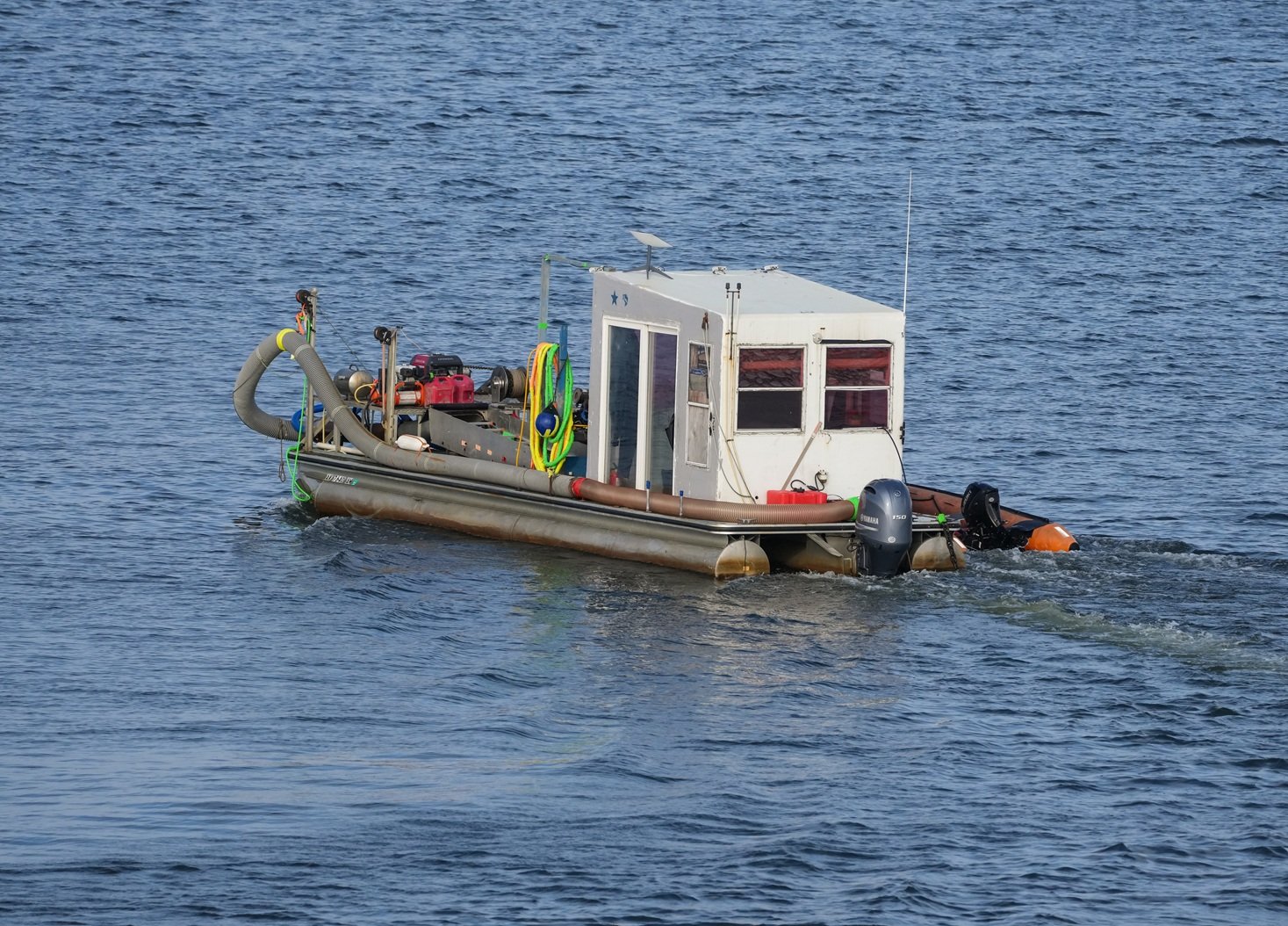
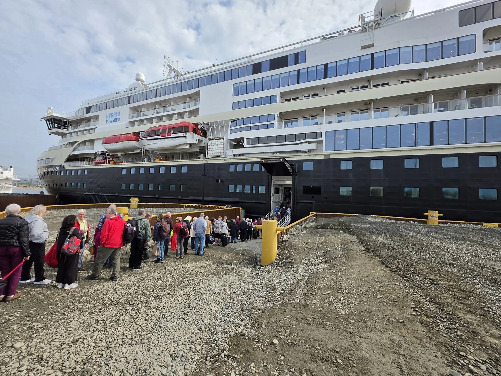
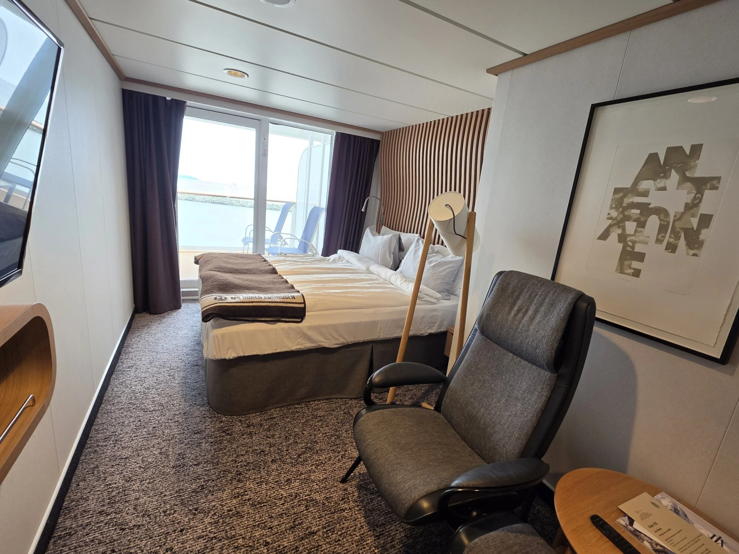
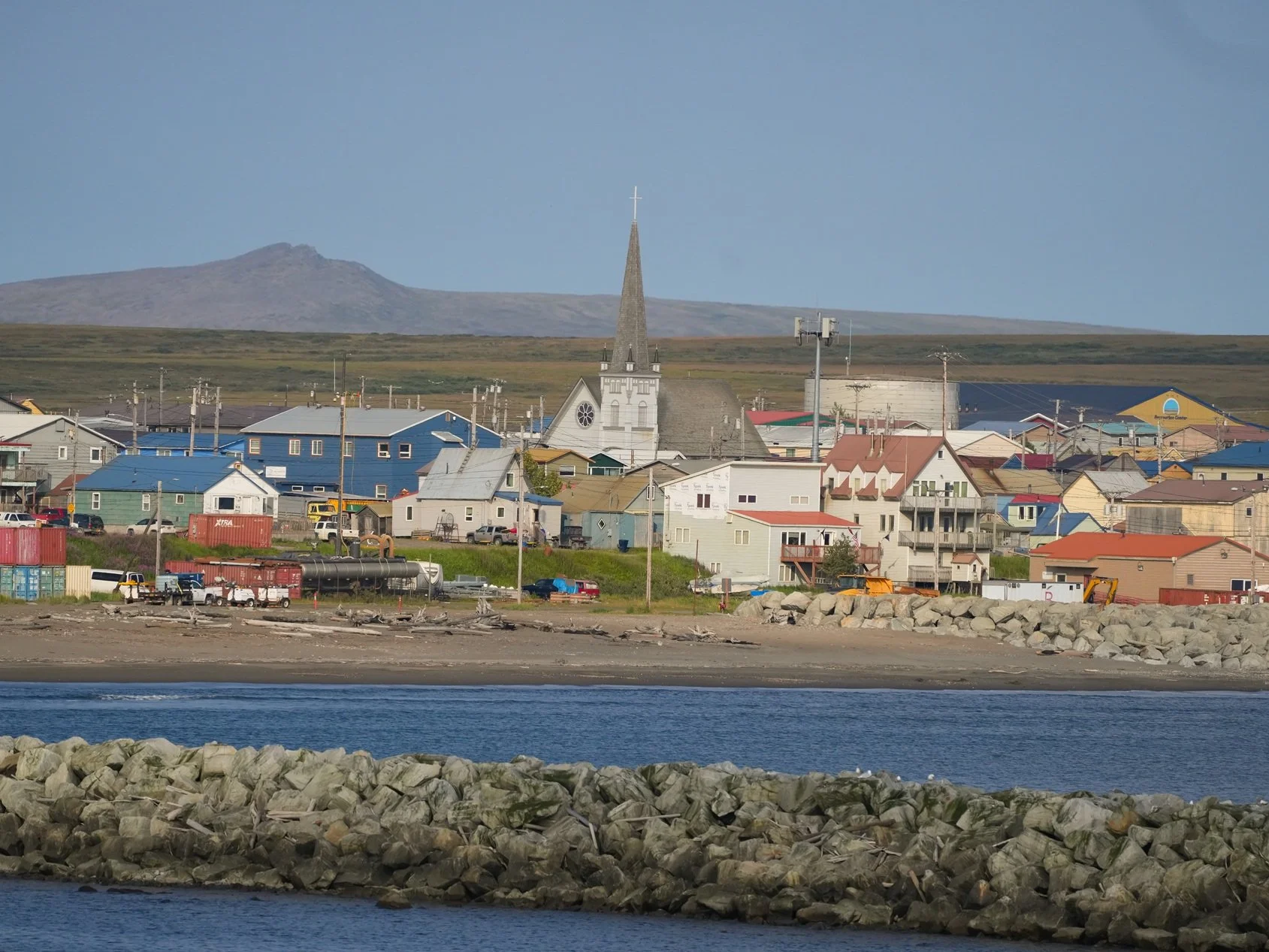

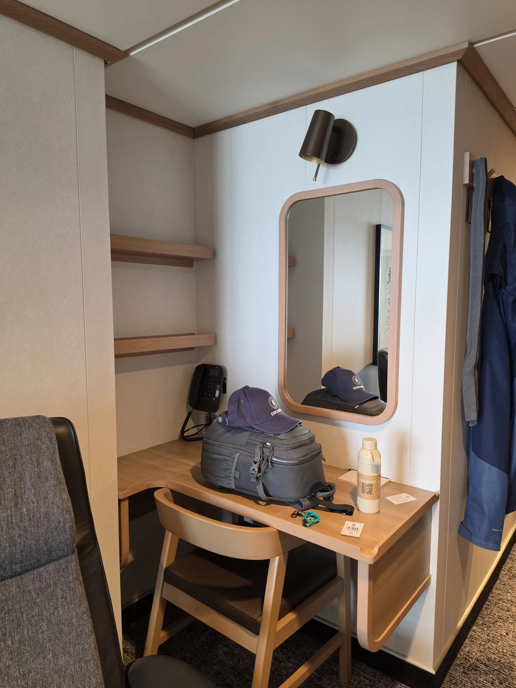
Pre-trip visit to Seattle
I had a wonderful time visiting friends and seeing favorite place for a few days in Seattle before my trip. It was the perfect way to start the vacation of a lifetime!

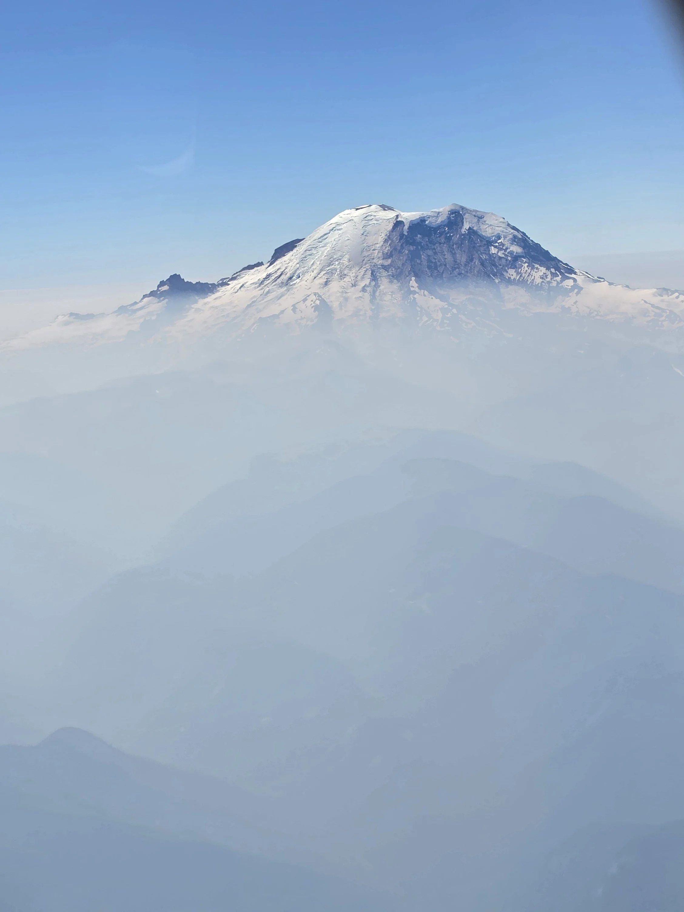
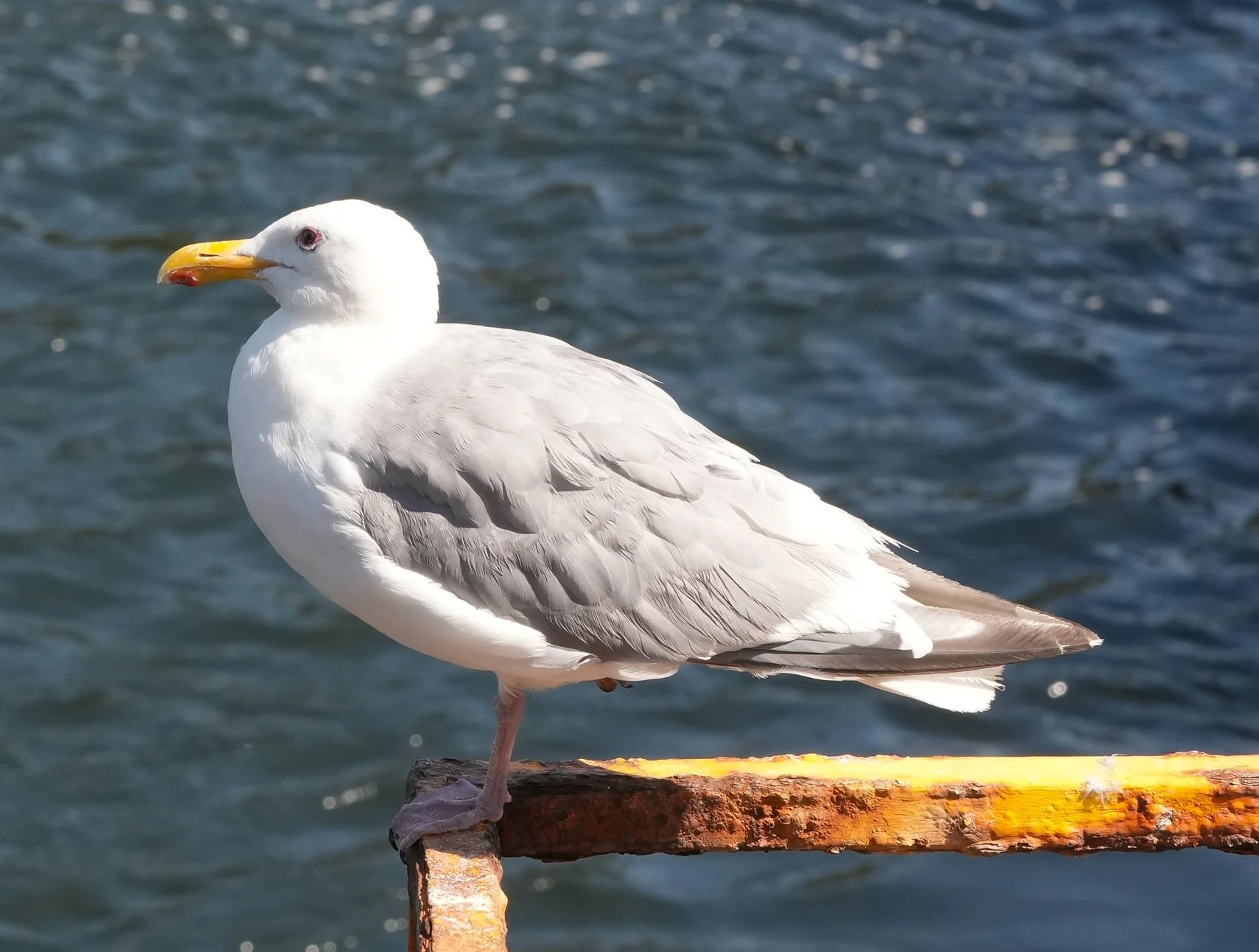

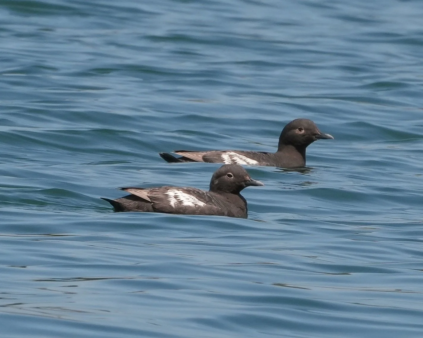
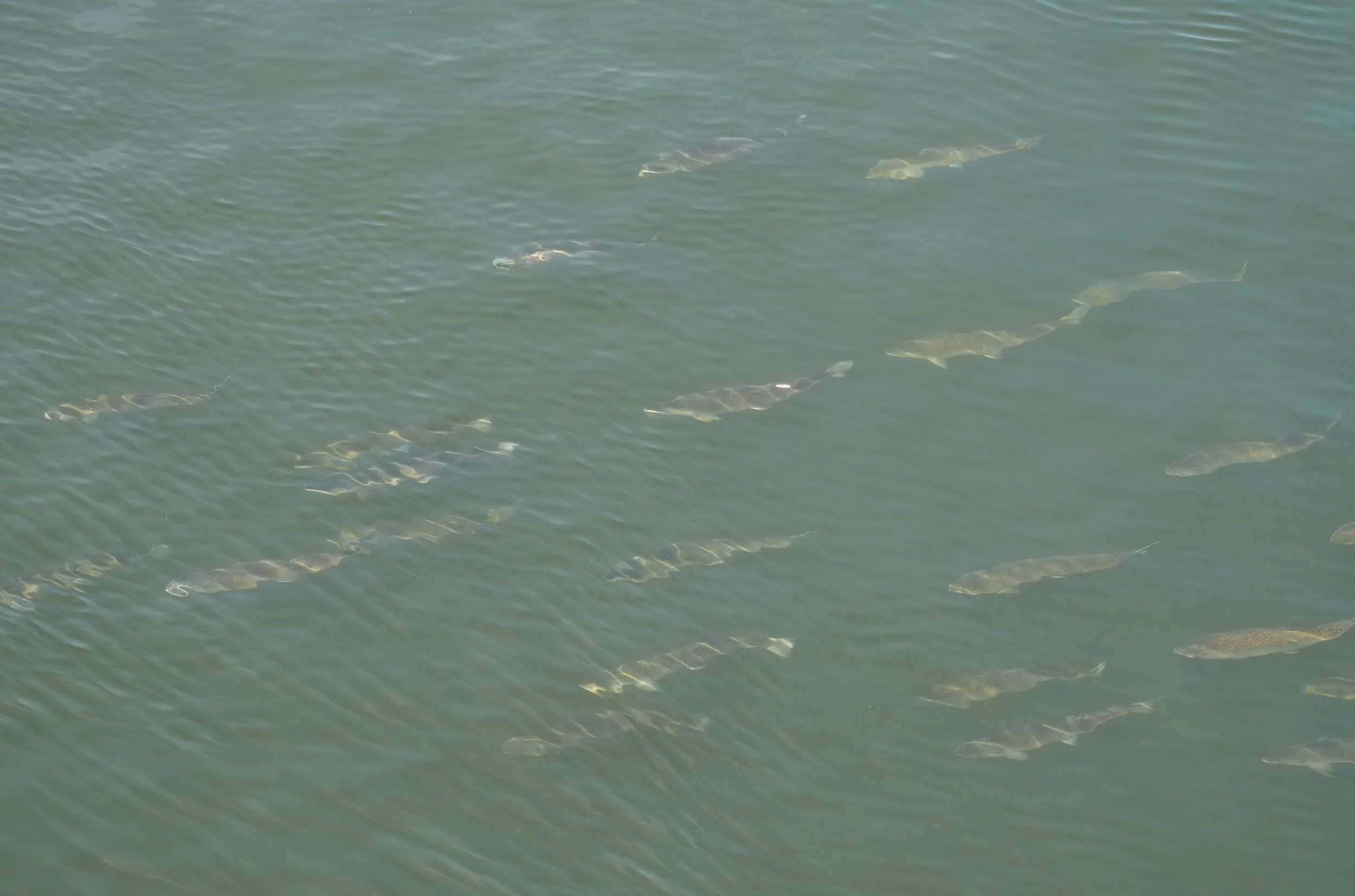
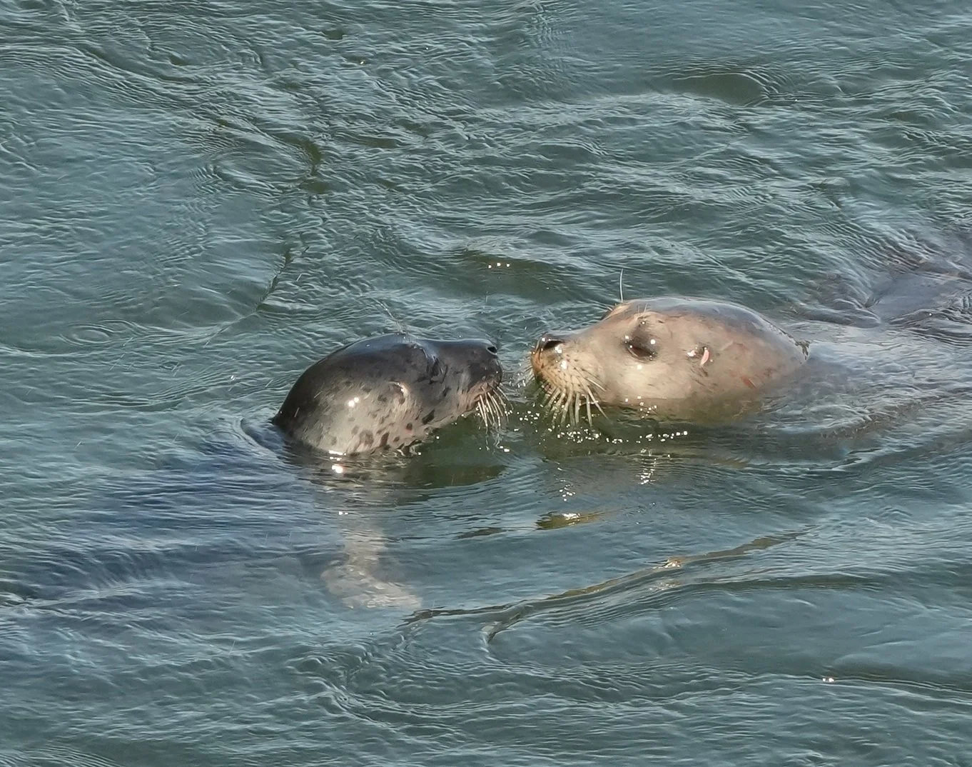

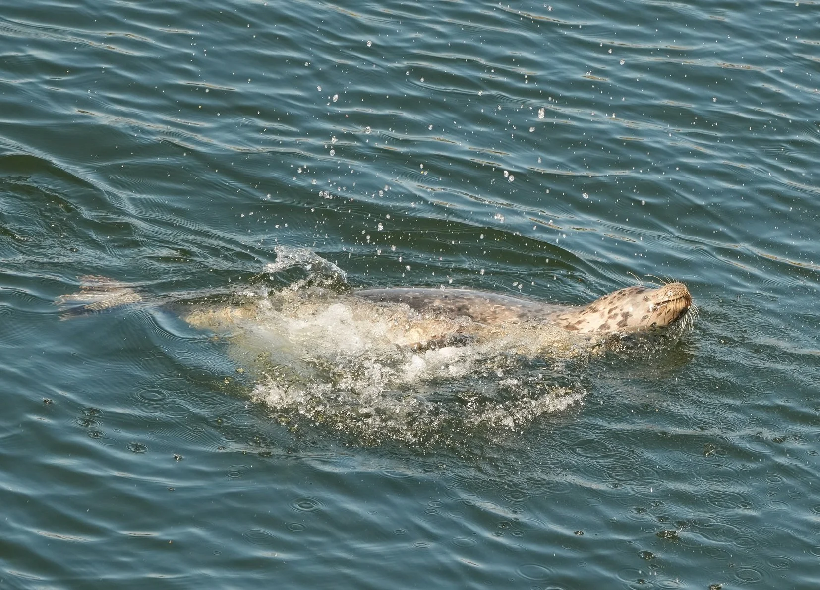
The Northwest Passage
Join me on a 24-day journey from Nome, Alaska to Nuuk, Greenland! We’ll be traversing the Northwest Passage on the HX Expedition ship Roald Amundsen. More people have stood on the summit of Mt. Everest than have made the full journey through the Northwest Passage. The Roald Amundsen will be one of 7 passenger ships attempting to cross the full Northwest Passage this year. My adventure begins in Seattle on August 10!
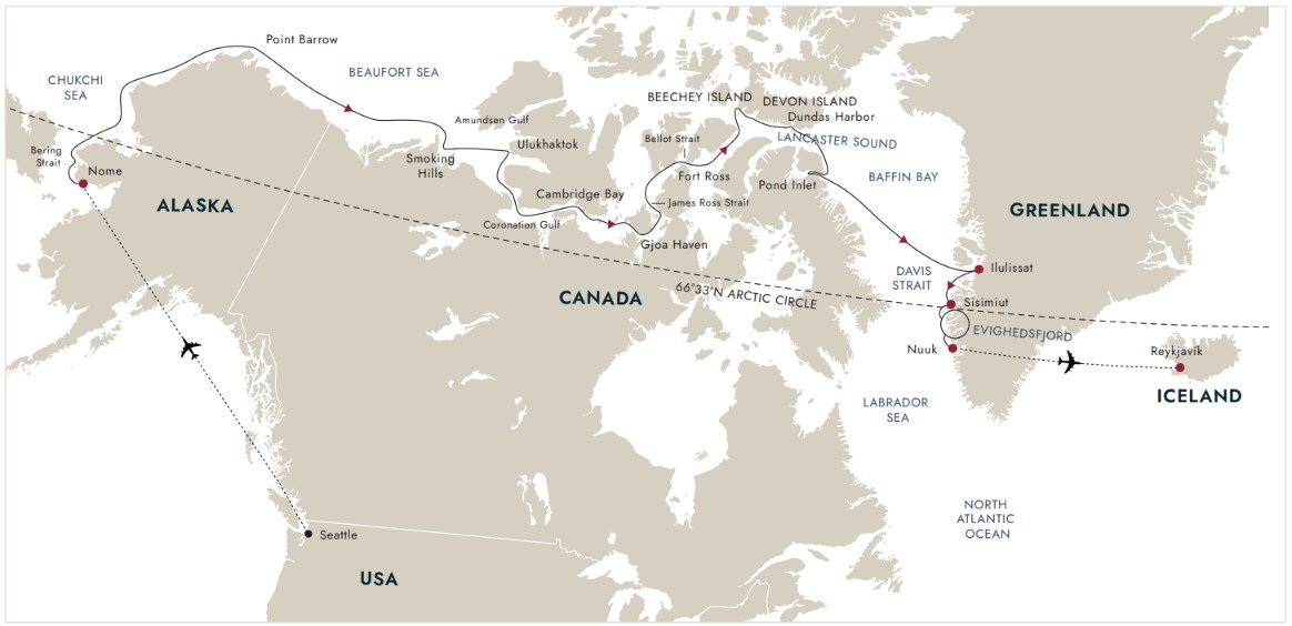
Planned route through the Northwest Passage